Antique Maps of the Americas
354 original sheets
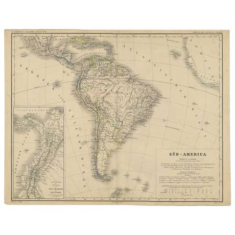
Antique German Map of South America by Kiepert, c.1870
1870 · € 220
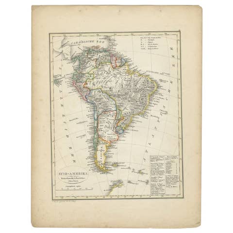
Antique Map of South America by Petri, 1852
1852 · € 133

Antique Map of South America by Petri, c.1873
1873 · € 125
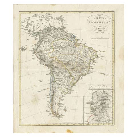
Antique Map of South America by Reichard, 1820
1820 · € 87
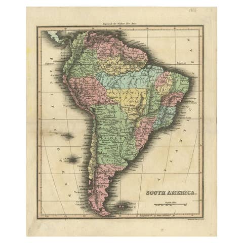
Antique Map of South America by Walker, 1816
1816 · € 110
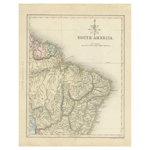
Antique Map of Part of South America by Archer, C.1860
1860 · € 95
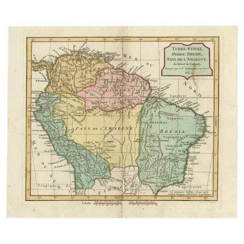
Antique Map of the Northern Part of South America by Delamarche, 1806
1806 · € 175
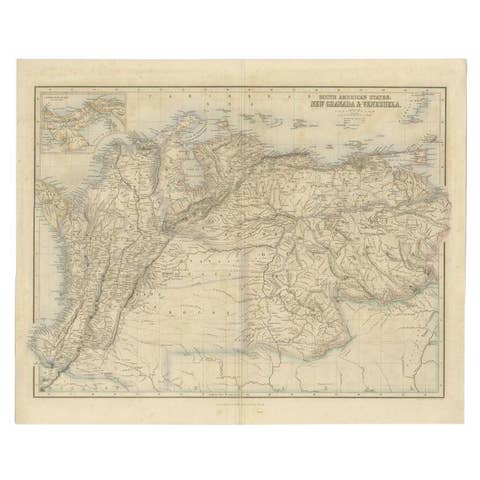
Antique Map of the Northern Part of South America by Fullarton, 1855
1855 · € 130

Antique Map of South America with Many Details, ca.1859
1859 · € 580€ 40630% off
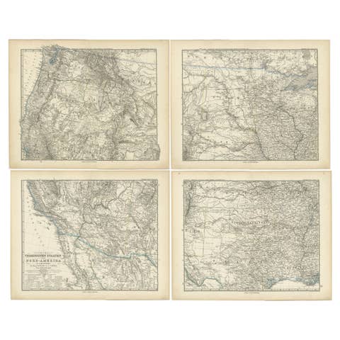
Set of 4 Antique Maps of part of the United States of America, c.1874
1874 · € 920€ 64430% off
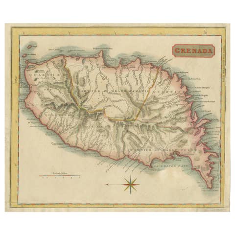
Copper Engraved Grenada Map by John Thompson Published in 1810
1810 · € 230€ 16130% off
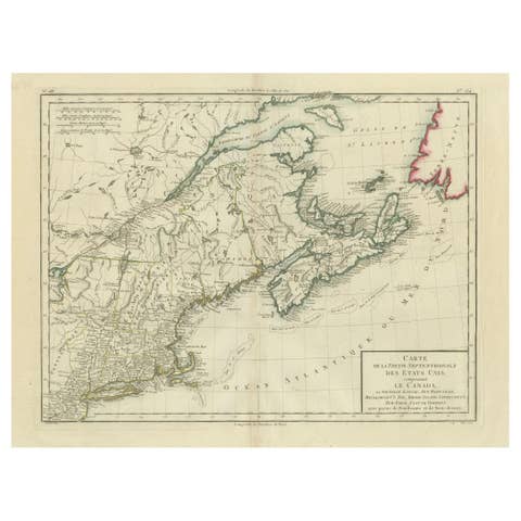
Antique Map of the Northeastern United States and Canada by Tardieu, 1802
1802 · € 560€ 39230% off
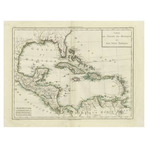
Antique Map of the Gulf of Mexico and Caribbean Islands by Tardieu, 1802
1802 · € 560€ 39230% off
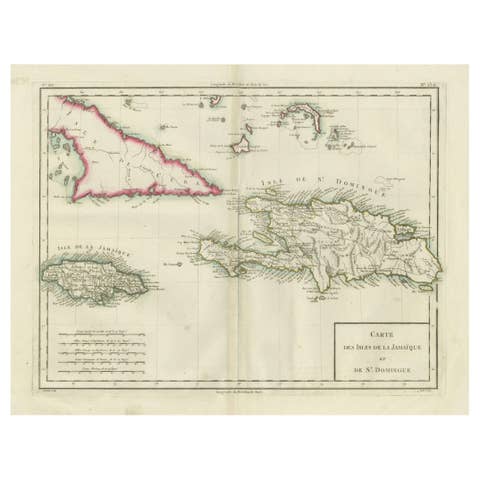
Antique Map of Jamaica and Hispaniola (Saint-Domingue and Santo Domingo), 1802
1802 · € 560€ 39230% off
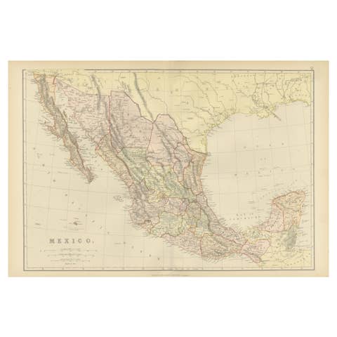
1882 Antique Map of Mexico Highlighting Geographical and Political Boundaries
1882 · € 250€ 17530% off
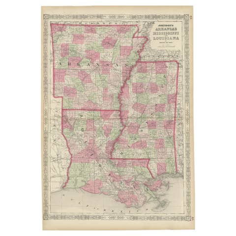
Rare 1864 Civil War Era Map of Arkansas, Mississippi, and Louisiana
1864 · € 340€ 23830% off

Historic 1864 Civil War Era Map of Canada with Great Lakes Detail
1864 · € 360€ 25230% off

Frog Print of Mexican Treefrog and Map Frog, c.1850, by Orbigny
1850 · € 190€ 13330% off

Geological Map of North America by A.K. Johnston – Mountains and Valleys 1852
1852 · € 260€ 18230% off
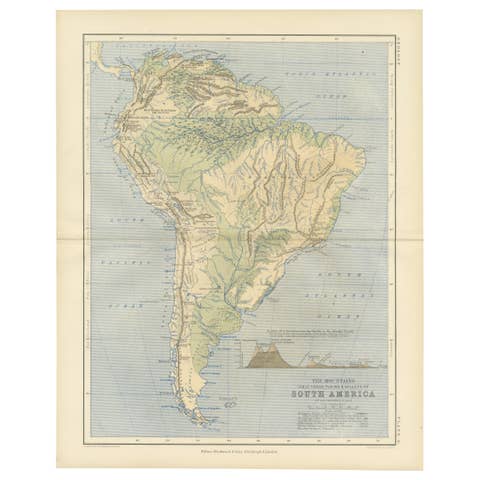
Geological Map of South America by A.K. Johnston – Mountains and Valleys 1852
1852 · € 260€ 18230% off
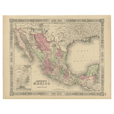
Johnson’s Mexico Map with Tehuantepec Inset, USA c.1864 – Hand-Colored
1864 · € 330€ 23130% off
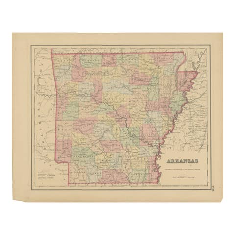
Arkansas Map by Colton, USA Published c.1864 – Hand-Colored County Map
1864 · € 330€ 23130% off

Delaware and Maryland Map – Johnson, Hand-Colored with Insets, 1864
1864 · € 270€ 18930% off
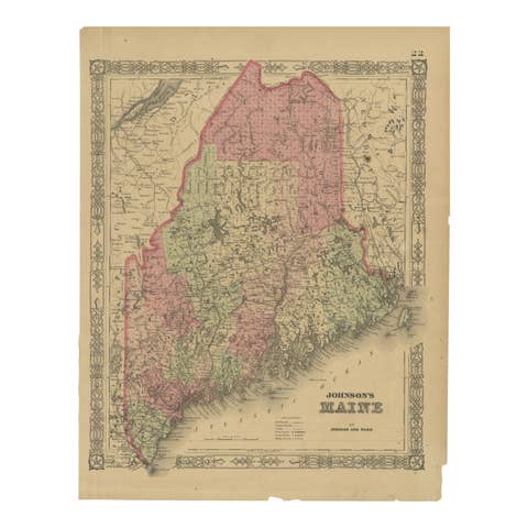
Maine County Map – Johnson, Hand-Colored, USA c.1864
1864 · € 270€ 18930% off

Minnesota and Dakota Map – Johnson, Hand-Colored, USA c.1864
1864 · € 290€ 20330% off
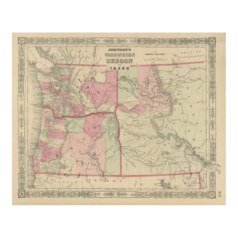
Washington Oregon Idaho Map – Johnson, Hand-Colored, c.1864
1864 · € 220€ 15430% off
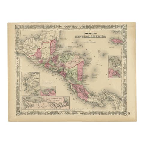
Central America Map – Johnson, Hand-Colored with Insets, c.1864
1864 · € 320€ 22430% off
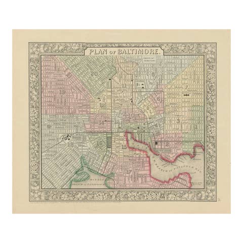
Plan of Baltimore City Map, USA c.1870 – Hand-Colored Street Plan
1870 · € 320€ 22430% off

Johnson’s Illinois Map, USA c.1864 – Hand-Colored with Chicago Courthouse View
1864 · € 270€ 18930% off
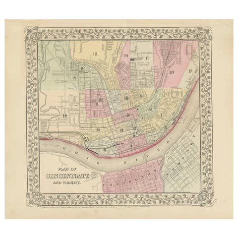
Plan of Cincinnati Map, USA c.1870 – Hand-Colored Street Plan with Wards
1870 · € 260€ 18230% off

United States, Canada & Mexico – 1857 North America Map
1857 · € 370€ 25930% off
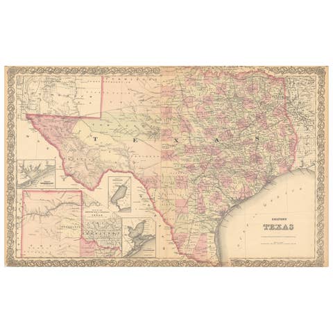
Large Antique Map of Texas with Panhandle & Bay Inset Maps, Colton, 1873
1873 · € 730€ 51130% off
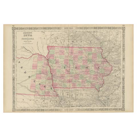
Vintage 1862 Map of Iowa and Nebraska – Decorative Atlas Print
1862 · € 590€ 41330% off
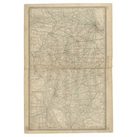
Detailed Antique Map of Illinois – Railroads, Cities & Counties, 1888
1888 · € 480€ 33630% off
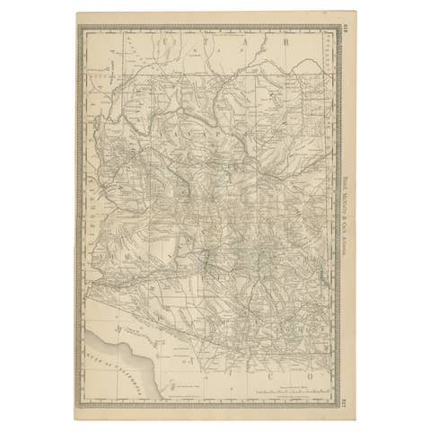
Rare 1888 Map of Arizona – Railroads, Mines & Early Frontier Settlements
1888 · € 480€ 33630% off
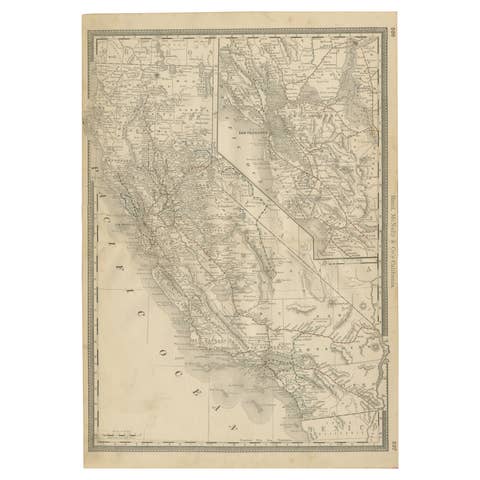
1888 California Map – The Golden State’s Railroads, Cities & Counties
1888 · € 540€ 37830% off
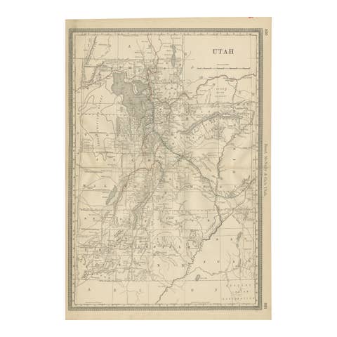
Rare 1888 Utah Map – The Beehive State’s Railroads, Counties & Great Salt Lake
1888 · € 460€ 32230% off
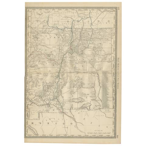
1888 New Mexico Map – Railroads, Counties & The Land of Enchantment
1888 · € 460€ 32230% off
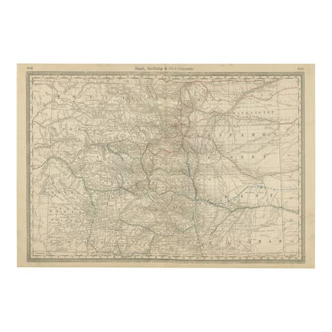
1888 Colorado Map – The Centennial State’s Railroads, Mines & Counties
1888 · € 480€ 33630% off

Dakota Territory Railroad Map 1888 – Rand McNally Antique Lithograph
1888 · € 460€ 32230% off

Nebraska Railroad Map 1888 – Rand McNally Antique Lithograph
1888 · € 480€ 33630% off

Kansas Railroad Map 1888 – Rand McNally Antique Lithograph
1888 · € 480€ 33630% off
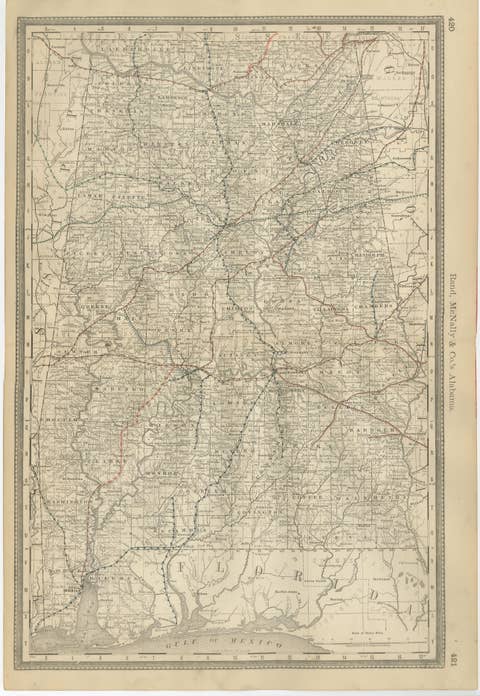
Alabama Antique Map 1888 – The Heart of Dixie, Railroads & Towns
1888 · € 460€ 32230% off
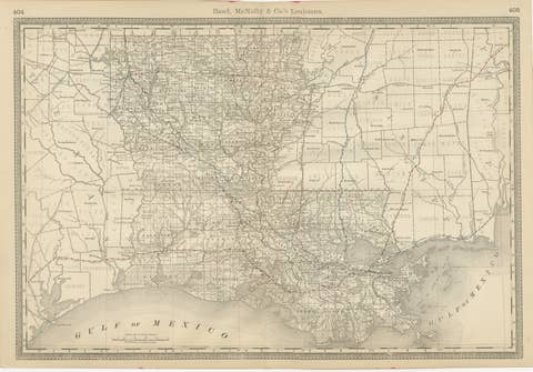
Louisiana Antique Map 1888 – The Pelican State, Railroads & Counties
1888 · € 460€ 32230% off
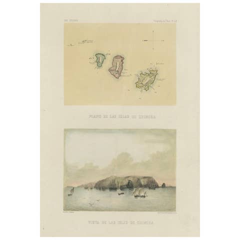
Hand-colored lithograph map and view of the Chincha Islands, Peru – 1865
1865 · € 540€ 37830% off
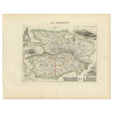
Antique Map of Maine-et-Loire with Illustrations – Vuillemin c.1850
1850 · € 220€ 15430% off
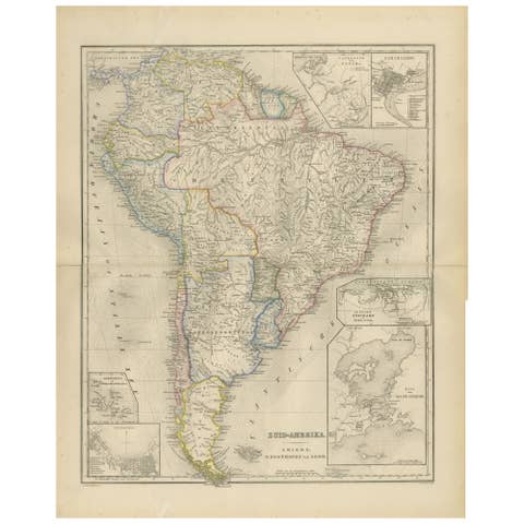
South America Map with Insets – Nieuwe Hand-Atlas, Noothoven van Goor, 1876
1876 · € 440€ 30830% off
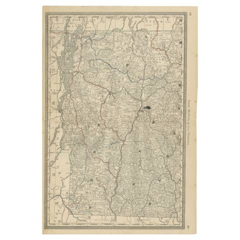
Antique Vermont Map Wall Art – Railroads, Mountains & Towns, Rand McNally, 1888
1888 · € 390€ 27330% off