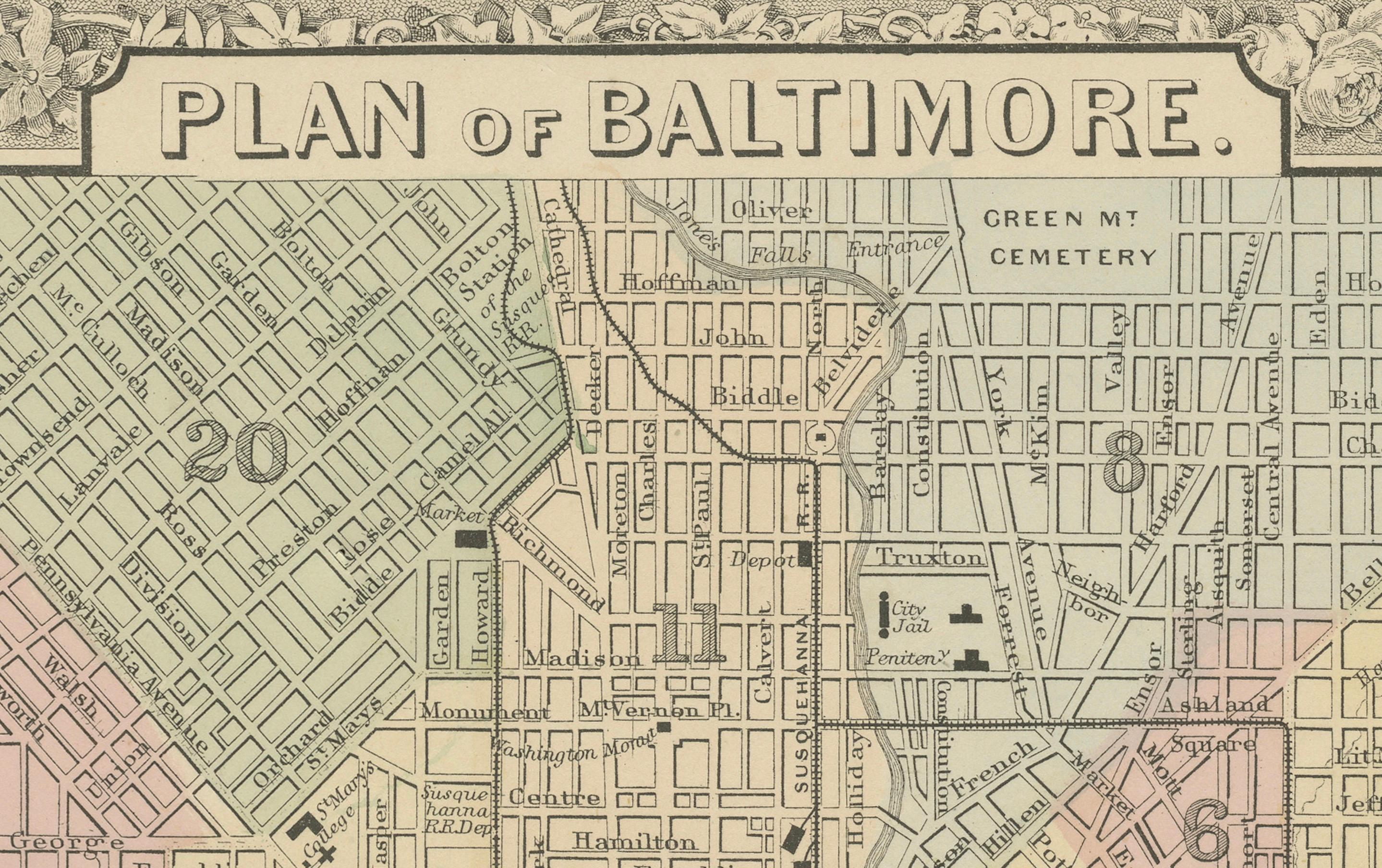
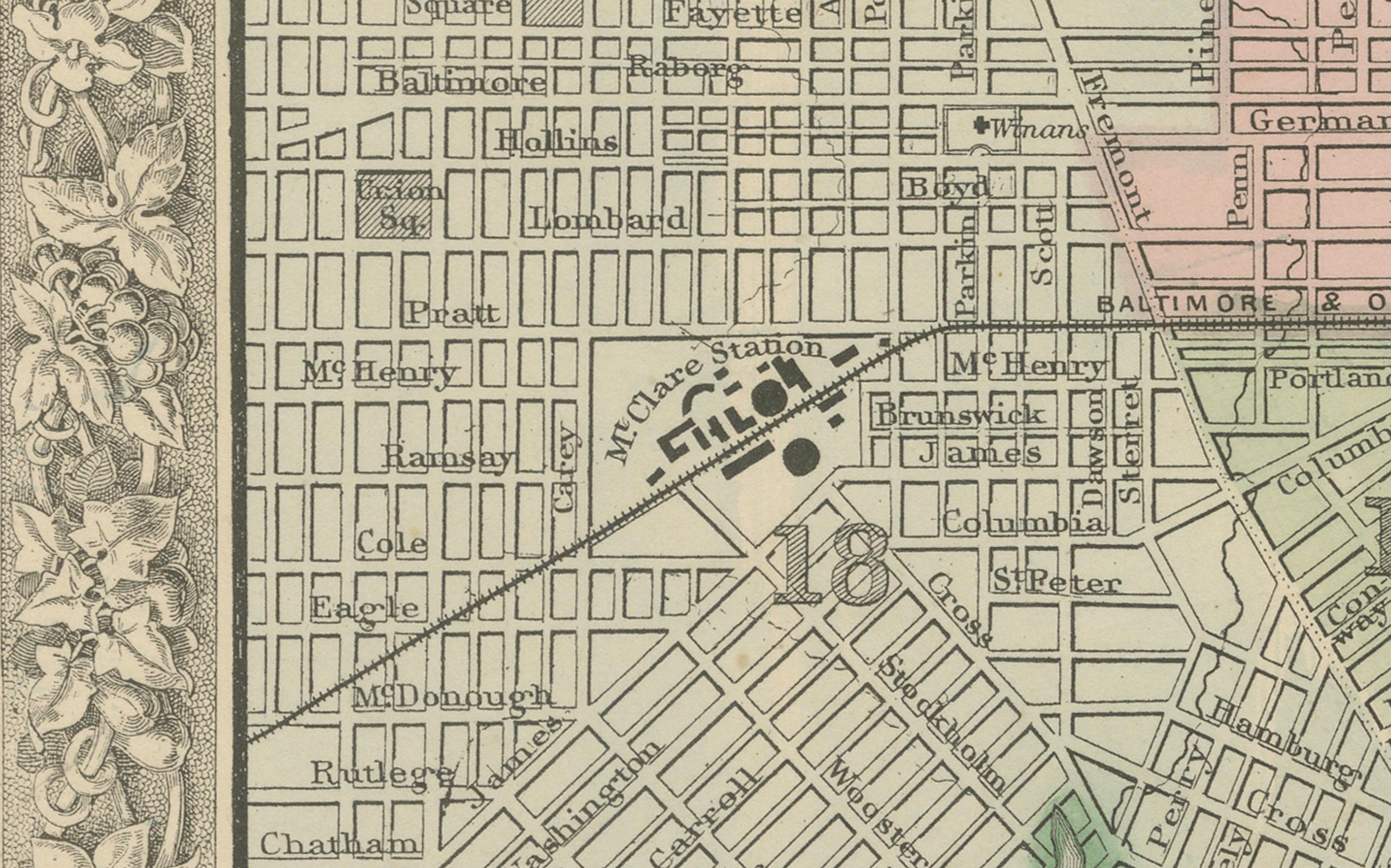
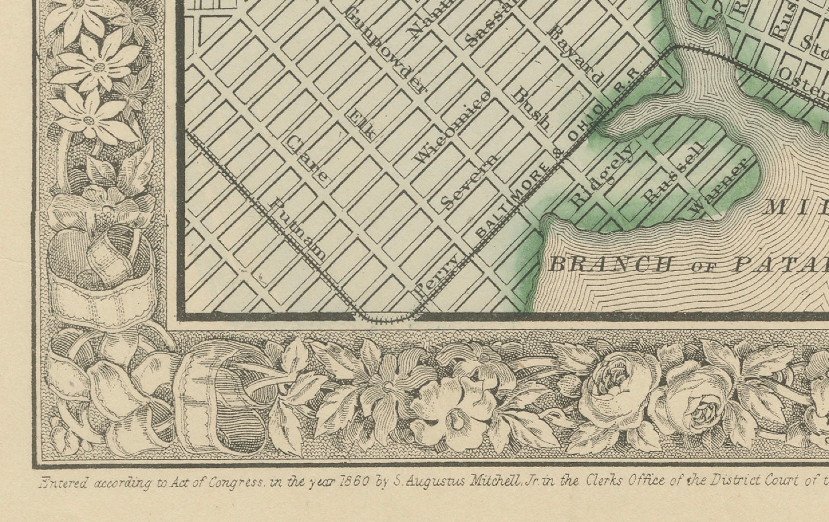
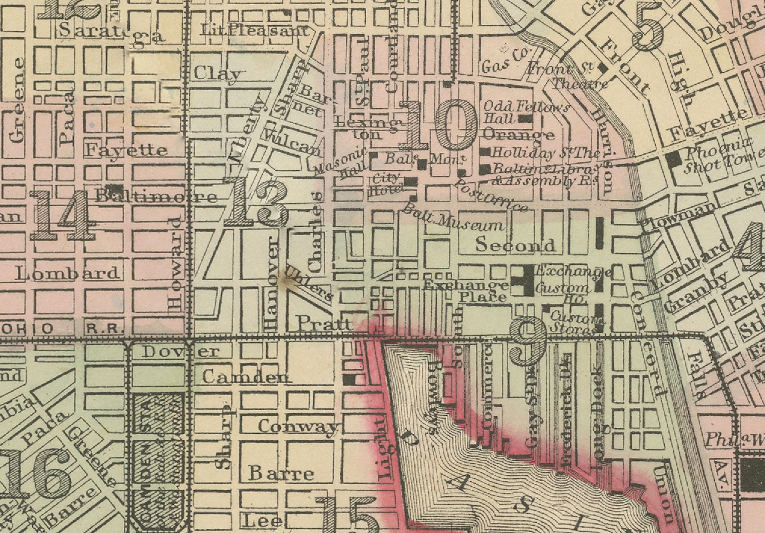
Plan of Baltimore City Map, USA c.1870 – Hand-Colored Street Plan
€ 320
One of a kind: this is the sheet in the photographs. Ships from Langweer, the Netherlands.
Date
1870
Sheet size
31.2 × 39 cm (12.3 × 15.4 in)
Condition
Good
Reference
BG-13952-31
Condition
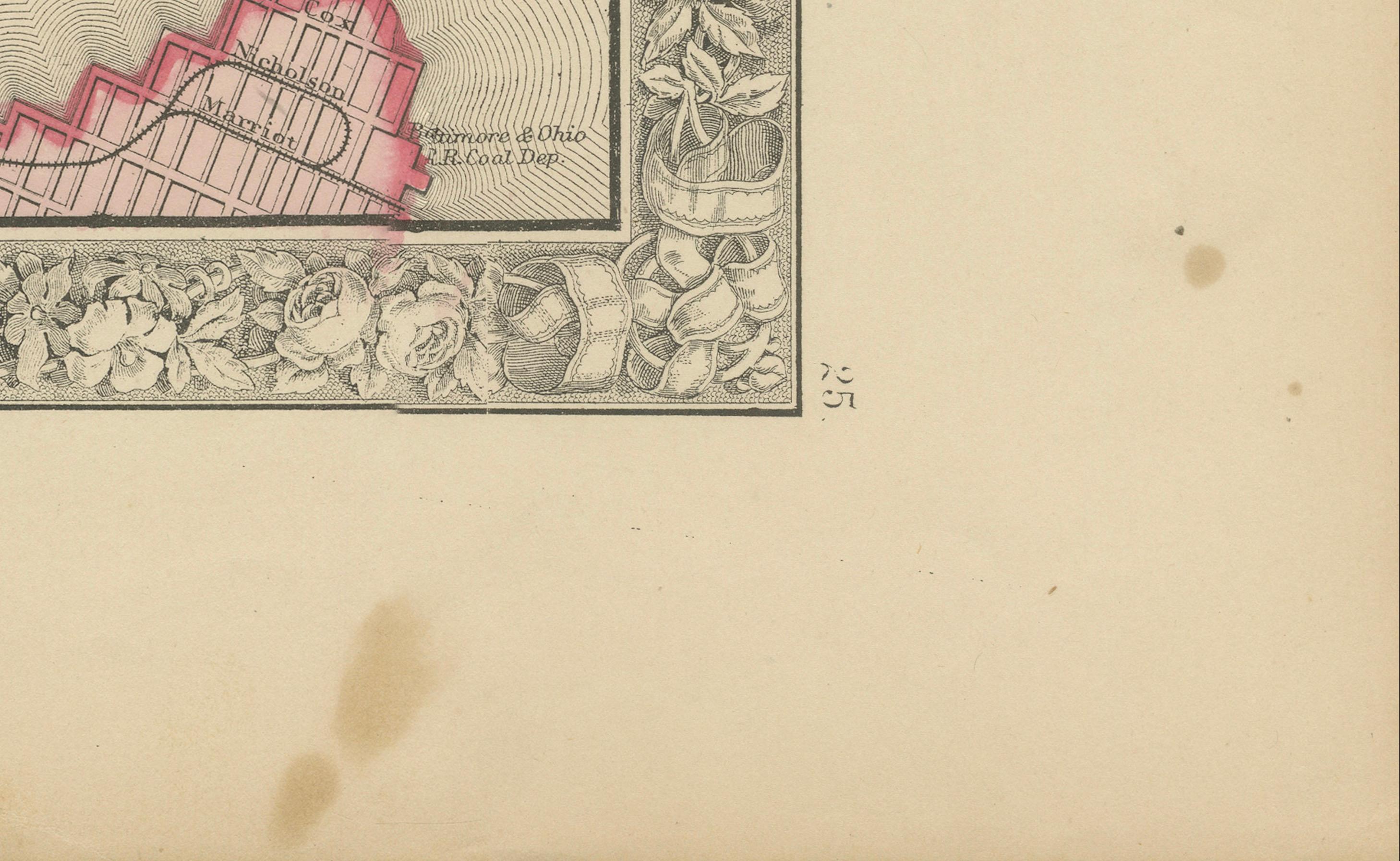
Good condition. Strong impression with bright original hand coloring. Light general age toning and minor marginal handling marks, with a faint stain at the bottom margin outside the printed area. No tears or repairs visible. Wide margins.
About this sheet
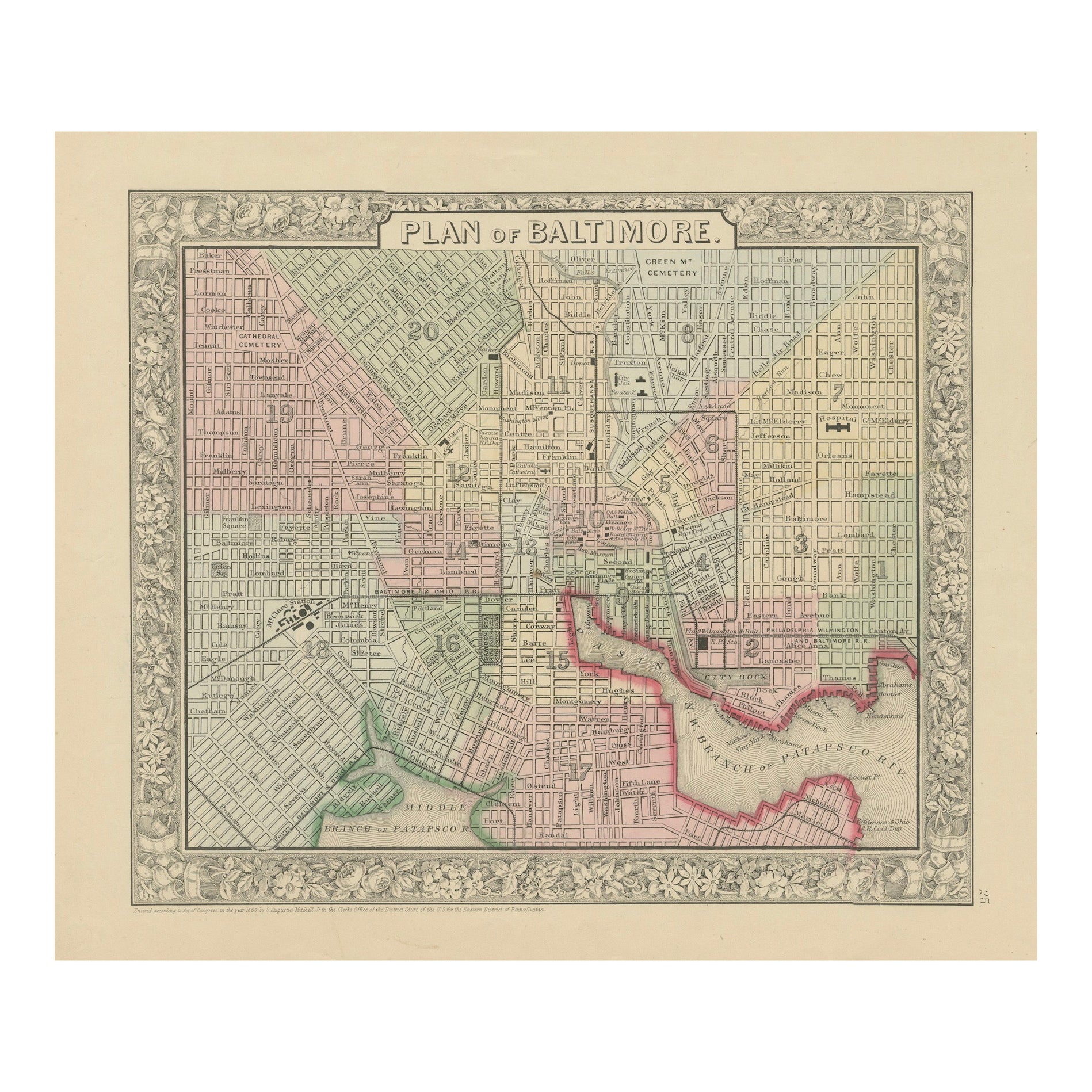
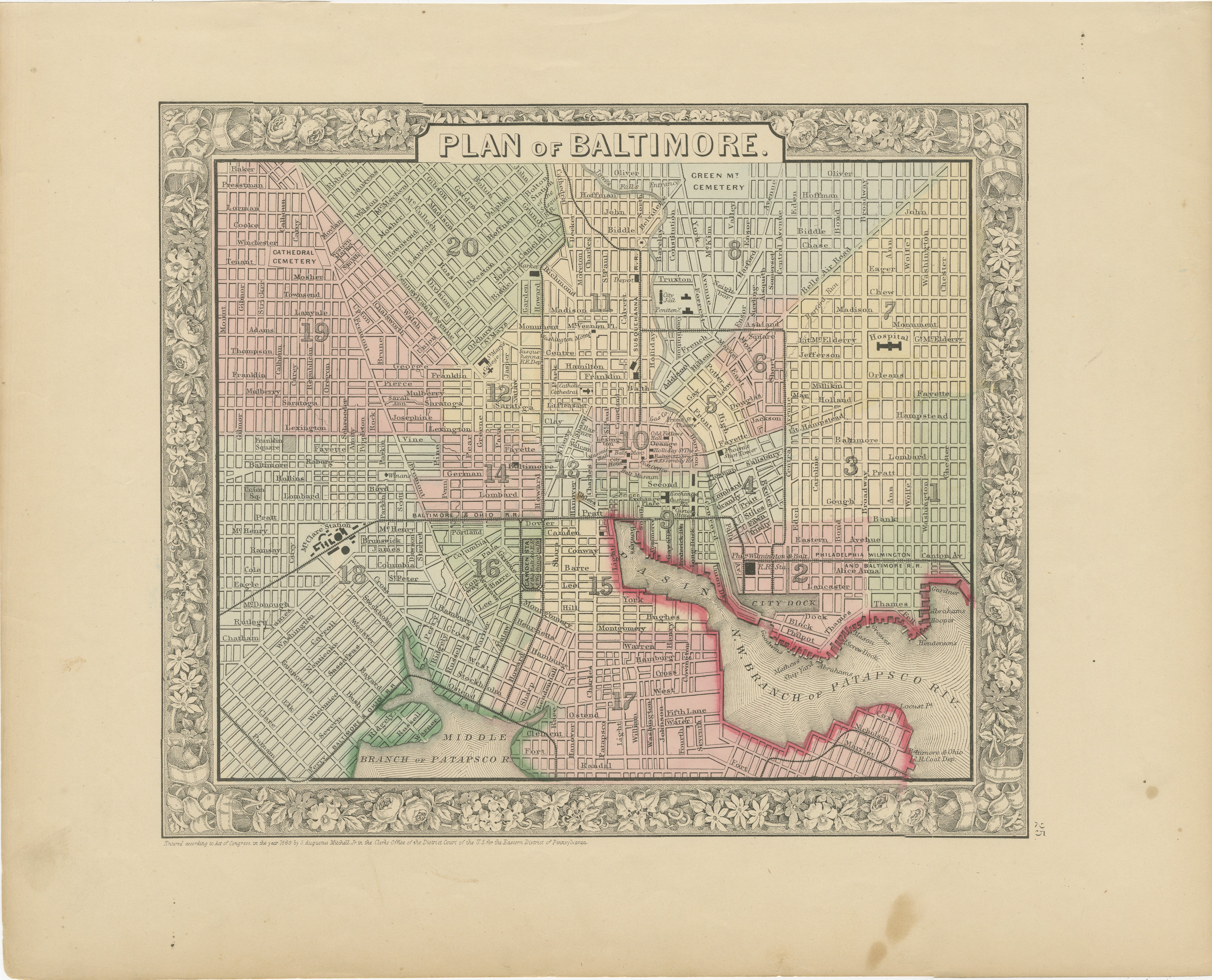
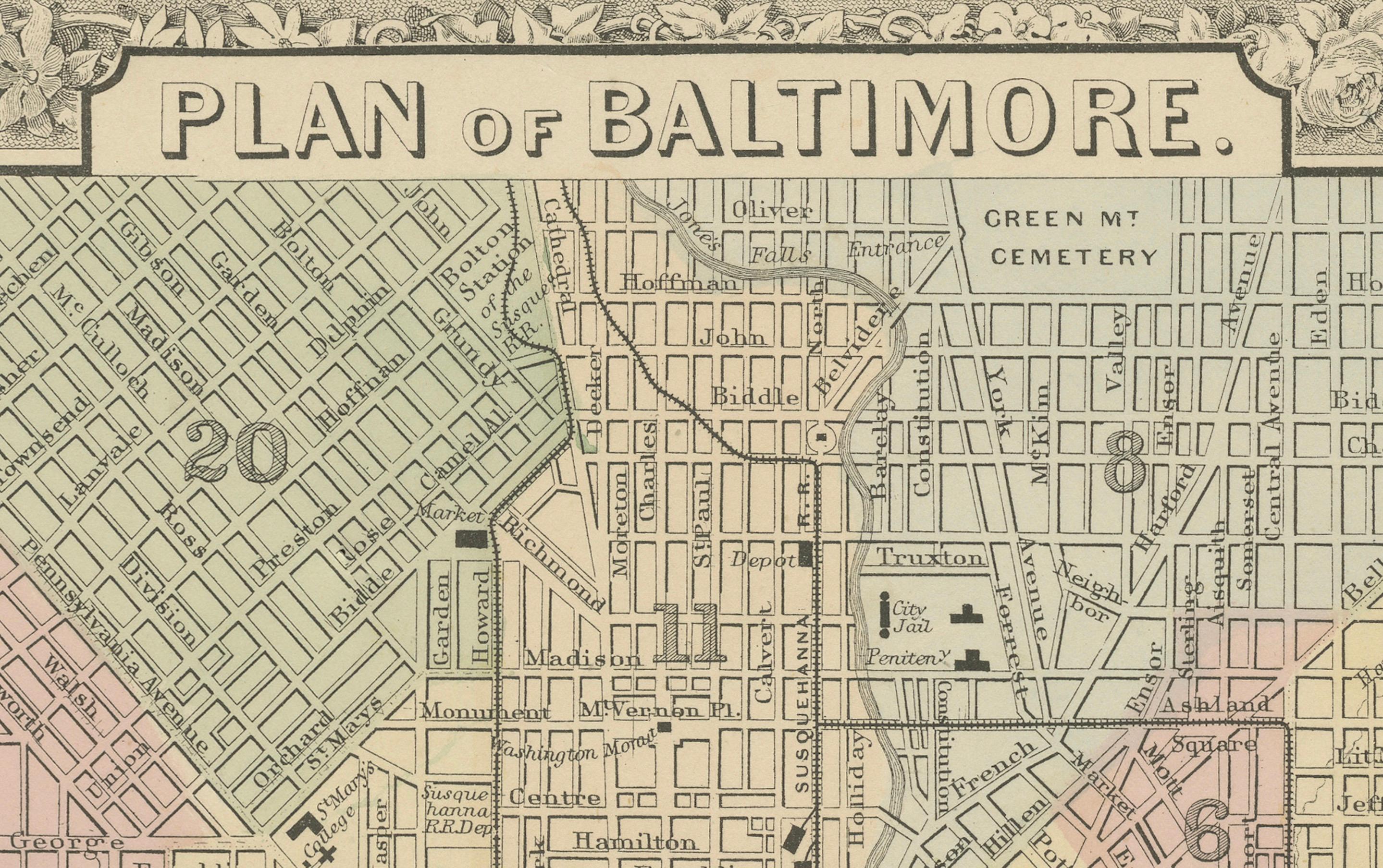
Plan of Baltimore City Map, USA c.1870 – Hand-Colored Street Plan
This is a finely engraved and hand-colored street plan titled Plan of Baltimore, published in the United States circa 1870. It shows the city of Baltimore, Maryland, in detailed block layout with wards numbered and shaded in pastel pink, green, yellow, and blue wash colors.
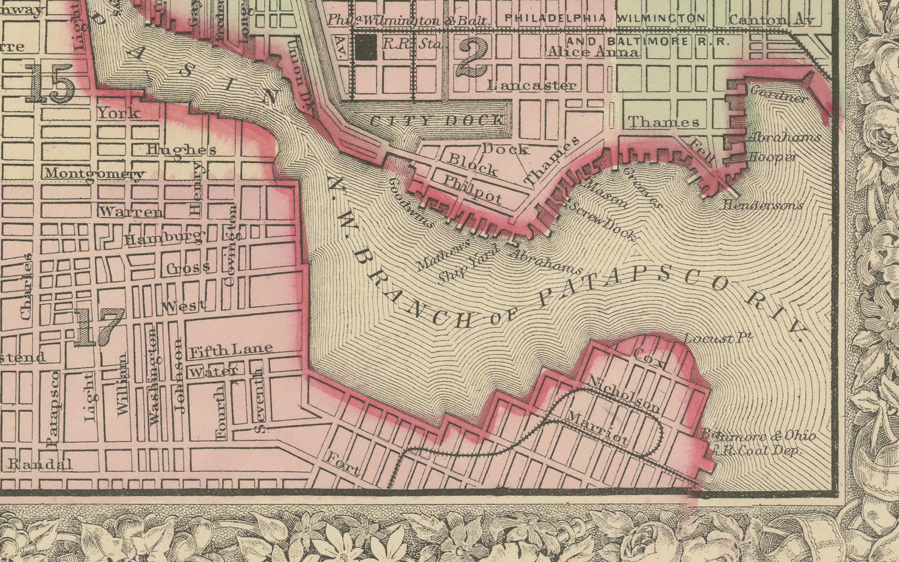
The map displays streets, rail lines, cemeteries including Green Mount Cemetery and Baltimore Cemetery, the Middle Branch and Northwest Branch of the Patapsco River, docks, major buildings, and urban features. A fine floral decorative border surrounds the map, typical of American atlas city plans from the mid to late 19th century.
This city plan is highly detailed, reflecting Baltimore's urban expansion during the post-Civil War era as it grew into a major port, industrial, and cultural center on the US East Coast. Such city plans were included in county and state atlases or urban directories for reference, property planning, and civic promotion.
Condition report:
Good condition. Strong impression with bright original hand coloring. Light general age toning and minor marginal handling marks, with a faint stain at the bottom margin outside the printed area. No tears or repairs visible. Wide margins and plate mark intact.
Framing suggestion:
Frame with a simple black or dark wood frame and an archival off-white mat to highlight the pastel coloring and intricate decorative floral border. UV-protective glass is recommended to preserve paper quality and prevent fading.