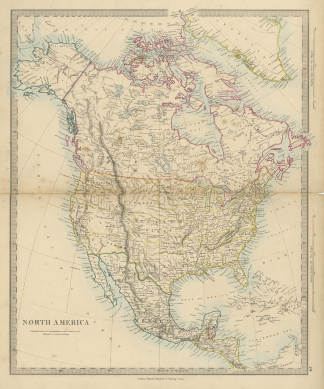
Geological Map of North America by A.K. Johnston – Mountains and Valleys 1852
€ 260
Original antique · The actual sheet photographed · Certificate of authenticity on request · Sold unframed · Worldwide shipping from € 15 (rates)
Date
1852
Sheet size
34.5 × 27.4 cm (13.6 × 10.8 in)
Condition
Good
Reference
BG-13207-8
What the condition grades mean
Excellent
Bright and clean, with no faults worth mentioning.
Very good
Only light signs of age, such as faint toning.
Good
Normal signs of age for a sheet of this period: toning, some foxing, small marks or neat old repairs.
Fair
Clear faults such as staining, tears or repairs, priced to match.
Every fault we see is written in the condition note, and the whole sheet is shown uncropped in the photos.
Condition
Very good condition. Light overall toning near the margins. The paper remains strong and well-preserved. Folding line as issued.
About this sheet
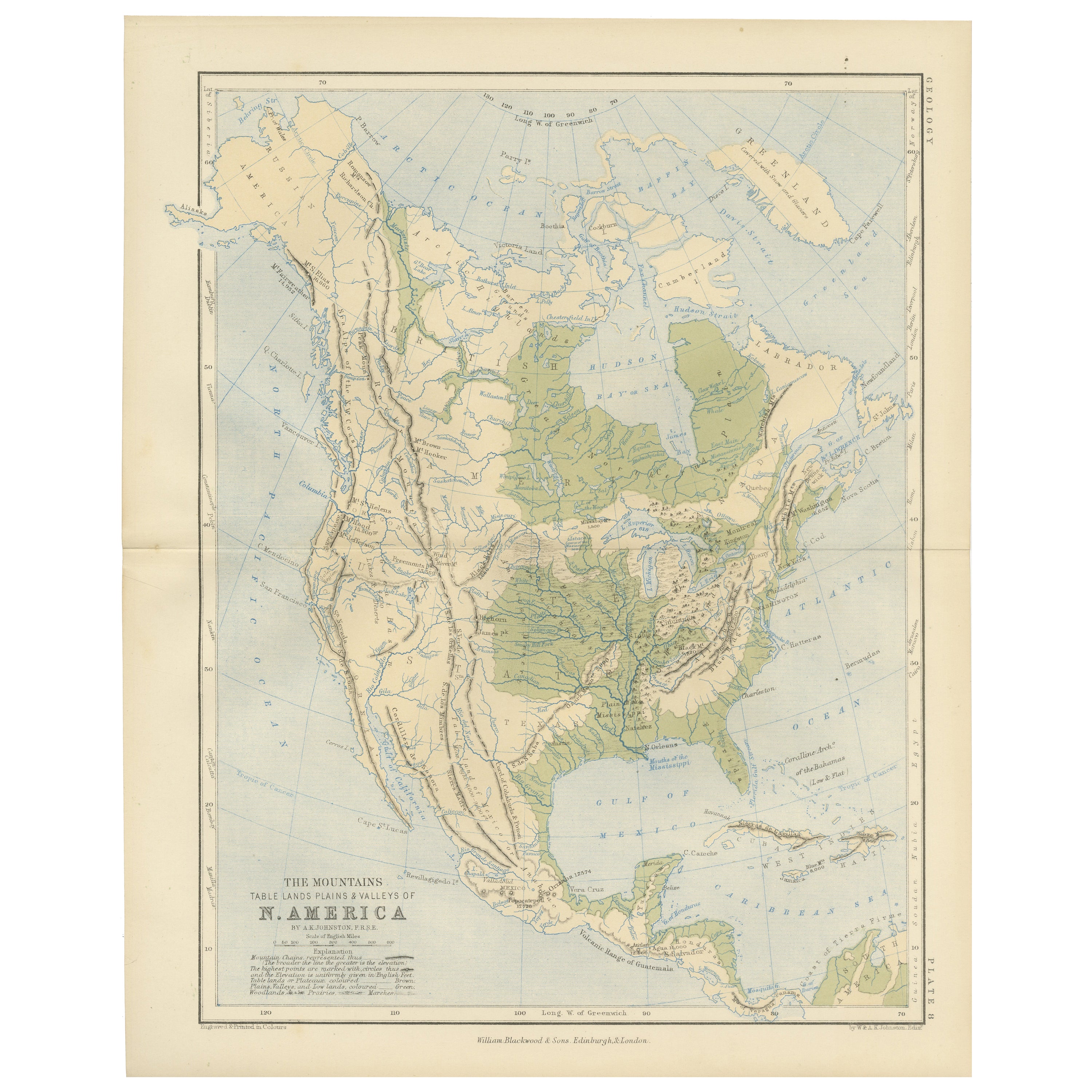
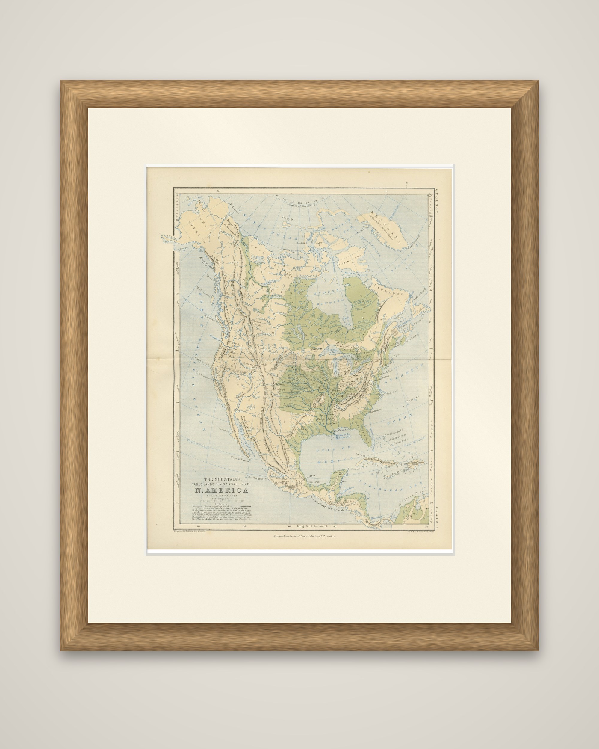
The physical structure of North America, "The Mountains, Table Lands, Plains & Valleys of N. America" by Alexander Keith Johnston, F.R.S.E., published in 1852 by William Blackwood & Sons, Edinburgh and London, as a plate of Johnston's Physical Atlas of Natural Phenomena. The plate is numbered 8 in the margin and headed "Geology."
The map ignores political boundaries. Lowlands and river basins are tinted green, while highlands and mountain chains are drawn in tan and brown, with the Rocky Mountains, the Sierra Nevada and the Appalachians running down the continent in long parallel lines. The lowlands of the Mississippi valley and the Canadian Shield around Hudson Bay stand out in green. The continent is shown from Greenland and the Arctic coast to Central America and the West Indies, with the Gulf of Mexico, Yucatan and the Caribbean at the bottom, and a legend at lower left explains the tints. Rivers and lakes are drawn in blue.
Johnston's atlas was among the earliest to treat the earth through physical and thematic maps, and this plate shows the land as a terrain rather than as a set of countries.