About this sheet
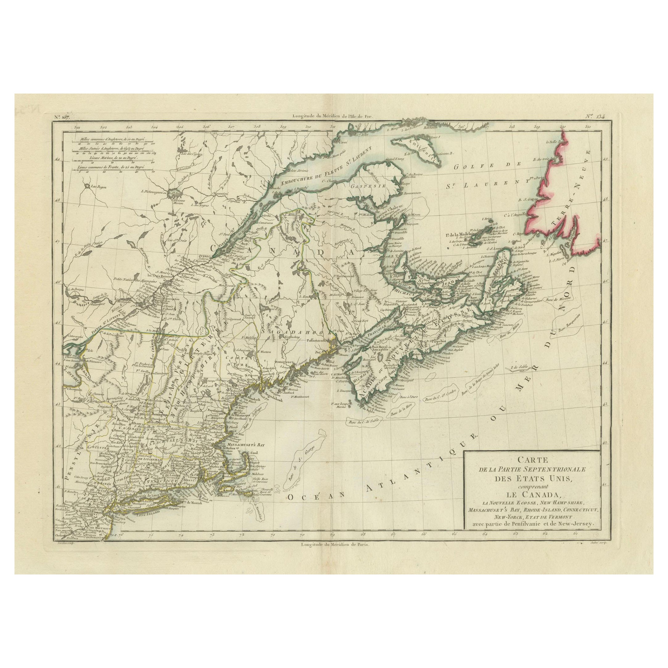
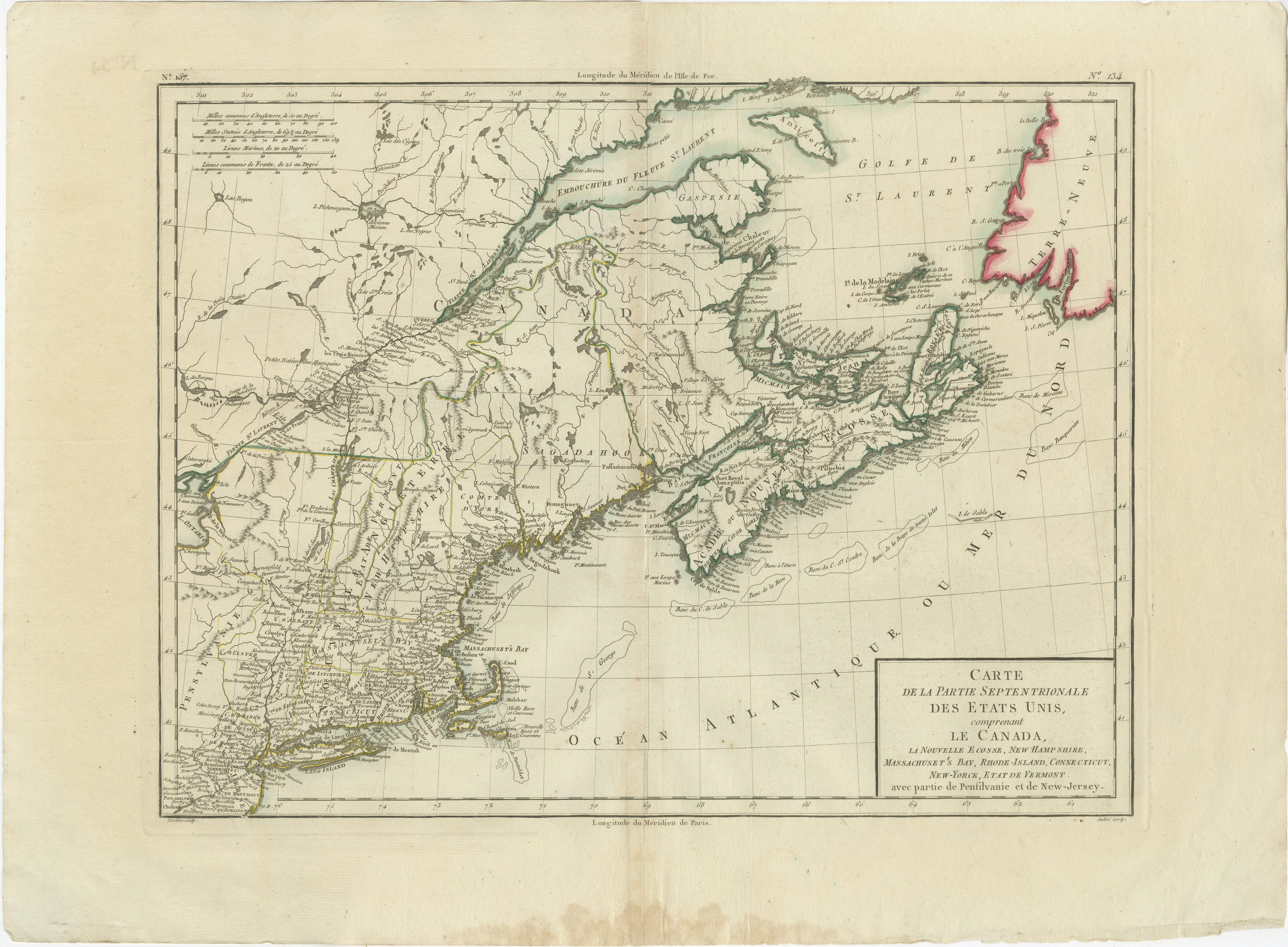
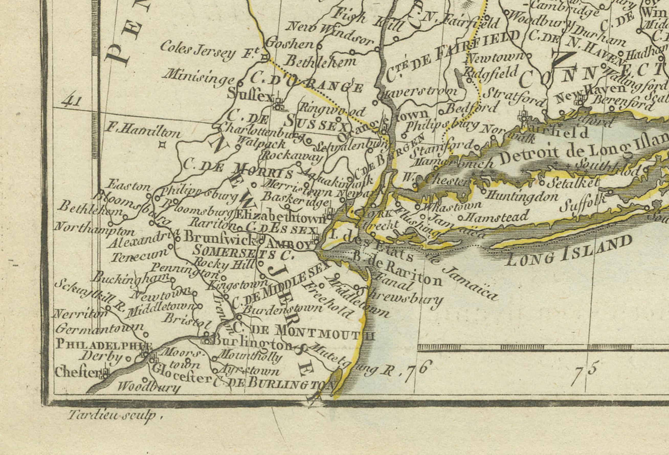
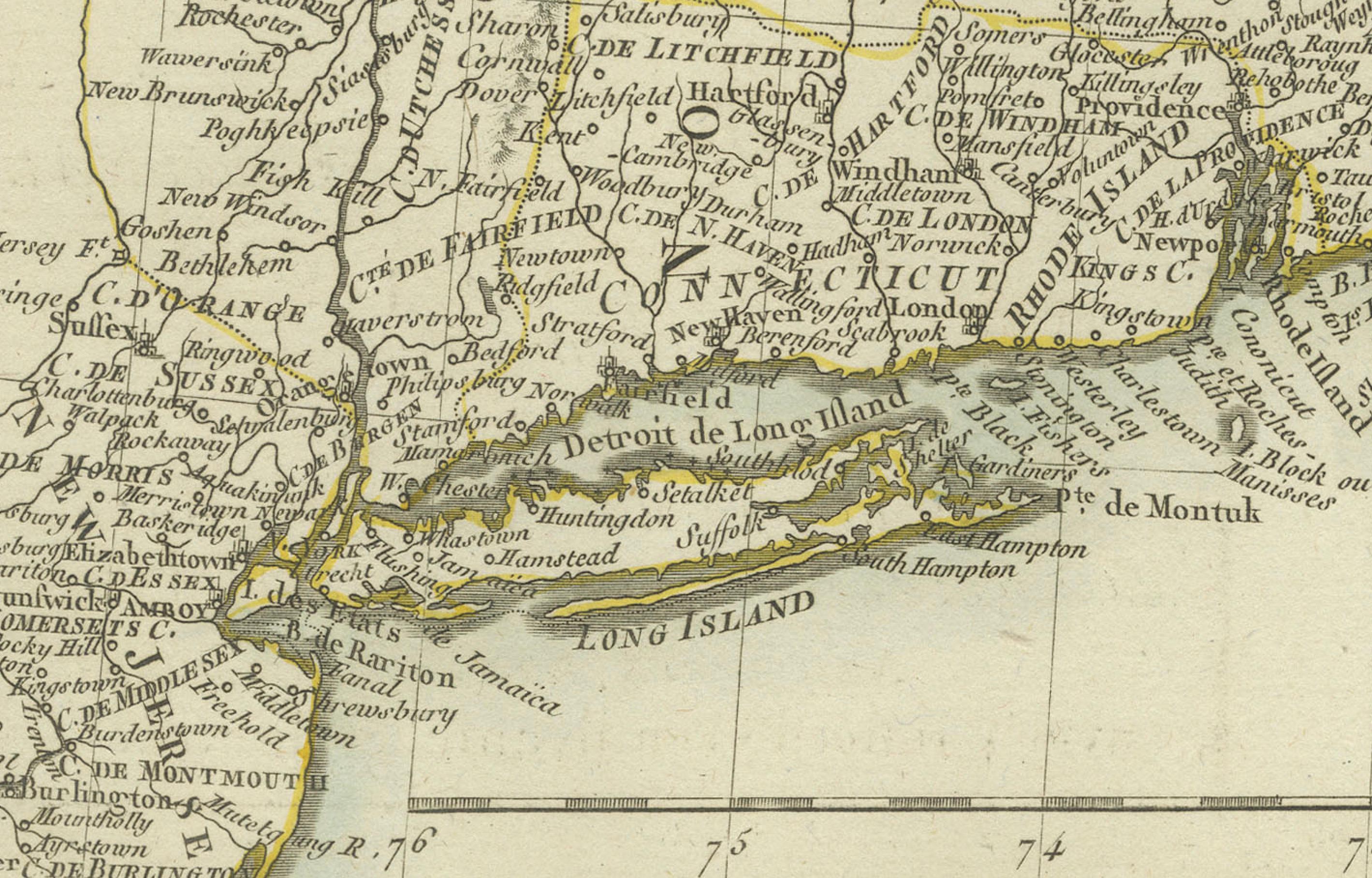
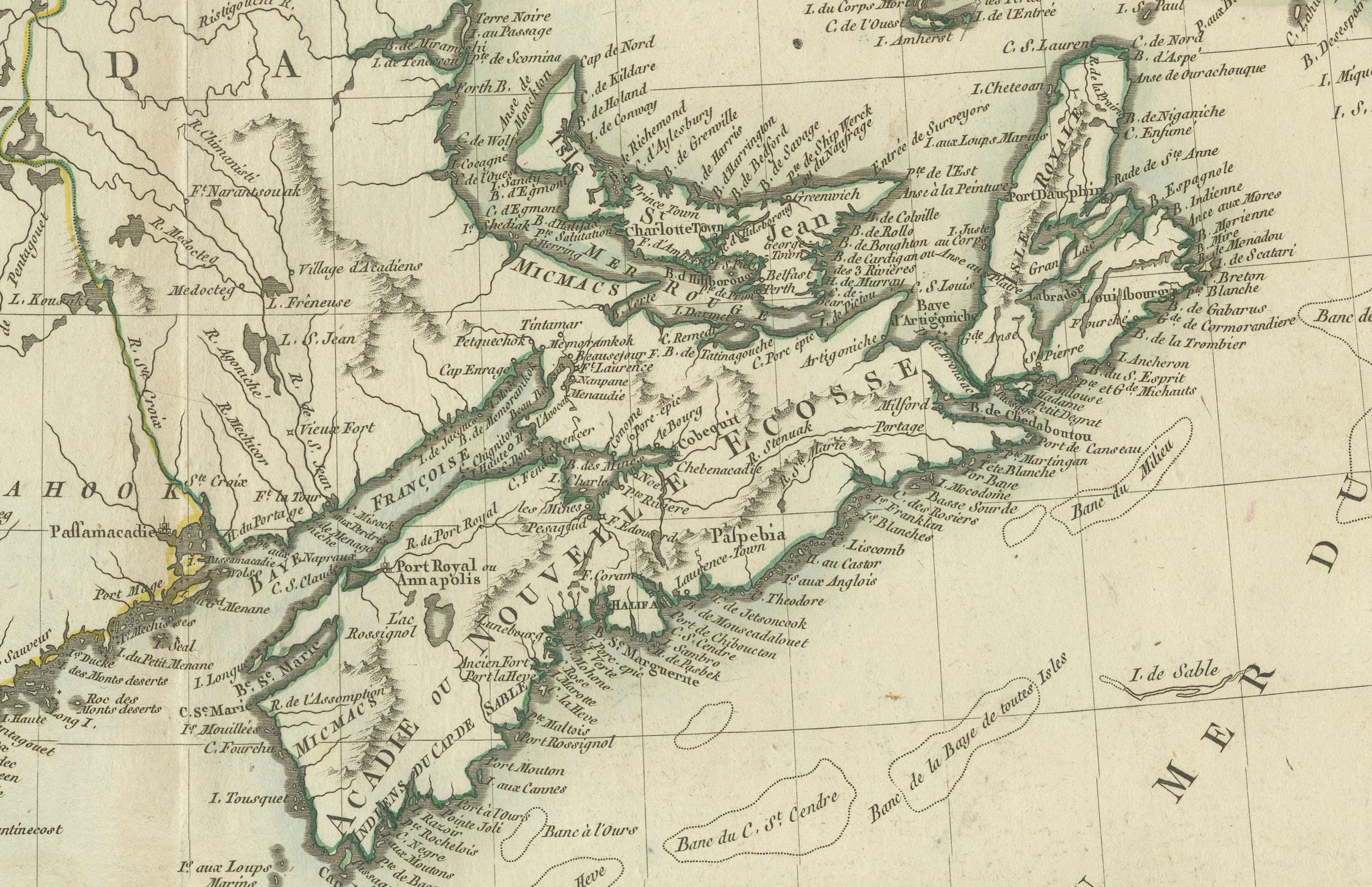
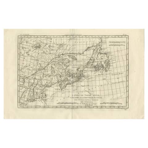
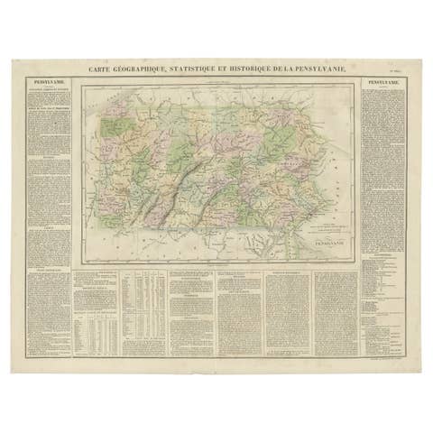
This antique map titled "Carte de la Partie Septentrionale des Etats Unis," created by Pierre Antoine Tardieu, depicts the northeastern part of the United States and parts of Canada. It focuses on the New England region, New York, and the surrounding areas, providing a detailed view of the geographical and political landscape of the early 19th century.
Map Details:
- Title: Carte de la Partie Septentrionale des Etats Unis
- Creator: Pierre Antoine Tardieu (1784-1869)
- Publication Date: Early 19th century
- Dimensions: Approximately 34.5 x 43.5 cm (13.5 x 17.25 inches)
- Features: The map includes detailed representations of the northeastern United States and parts of Canada, highlighting political boundaries, major cities, rivers, and other geographical features. The title cartouche is located in the lower right corner, and the outlines are hand-colored to distinguish different regions and states.
States and Provinces Mentioned:
The map covers various states in the northeastern United States and parts of Canada, including:
1. New England States:
- **Maine** (part of Massachusetts until 1820)
- **New Hampshire**
- **Vermont**
- **Massachusetts**
- **Rhode Island**
- **Connecticut**
2. Middle Atlantic States:
- **New York**
- **New Jersey** (partially depicted)
3. Canada:
- **Newfoundland** (now Newfoundland and Labrador)
- **Nova Scotia**
- **New Brunswick**
- **Quebec**
Condition Overview:
1. Paper Quality: The paper shows typical signs of aging, such as slight yellowing, but remains in good condition without major tears or damage.
2. Edges and Corners: The edges are slightly worn, with minor fraying and small tears, particularly near the center fold. These imperfections do not significantly impact the overall readability or aesthetic value.
3. Center Fold: A center fold is present, which is common for maps of this period that were often folded for storage or publication. The fold appears intact without significant separation or damage.
4. Color and Print Quality: The hand-colored outlines remain vibrant and clear, highlighting the borders of different regions. The print quality is excellent, with sharp, legible text and detailed illustrations.
5. Staining and Spots: There are a few spots and stains, particularly near the edges and along the fold. These do not obscure any critical details of the map.
Historical Context
Political Landscape
1. United States:
- The map depicts the northeastern United States during a period of significant growth and development following the American Revolution.
- Key cities like Boston, New York, and Philadelphia (though not fully visible) were major centers of commerce and political activity.
2. Canada:
- The Canadian regions, under British control, include Newfoundland, Nova Scotia, New Brunswick, and Quebec. These areas were important for their fisheries, trade routes, and as points of British military presence.
Socio-Economic Conditions
1. Agriculture and Industry:
- The economy in the northeastern United States was a mix of agriculture, trade, and emerging industries. The fertile lands of New England and New York supported farming communities.
- Shipbuilding, fishing, and early industrial activities were significant in coastal areas.
2. Trade and Commerce:
- Major port cities like Boston and New York were crucial hubs for trade with Europe, the Caribbean, and other parts of the Americas.
- Inland trade routes, including rivers and early roads, facilitated commerce within the region.
Cultural and Social Aspects
1. Population Growth:
- The population in the northeastern United States was growing rapidly due to high birth rates and immigration from Europe. This growth was driving westward expansion and the establishment of new settlements.
- The map reflects this expansion, showing the growing network of towns and cities.
2. Diverse Population:
- The region was home to a diverse population, including European settlers, Indigenous peoples, and African Americans.
- Cultural and social structures varied widely, from the Puritan communities of New England to the more diverse and cosmopolitan cities like New York.
Conflicts and Changes
1. Native American Relations:
- The westward expansion often led to conflicts with Indigenous peoples, resulting in displacement and treaties that were frequently broken by settlers.
- The map may depict some of these territories and regions under Native American control or influence.
2. Political Developments:
- The early 19th century was a period of political change, with the establishment of the federal government and the development of political parties.
- Key events such as the War of 1812 with Britain and the subsequent changes in policy are part of this era.
Summary
The northeastern United States and parts of Canada around 1800 were regions of dynamic political change, economic activity, and cultural diversity. The map by Pierre...