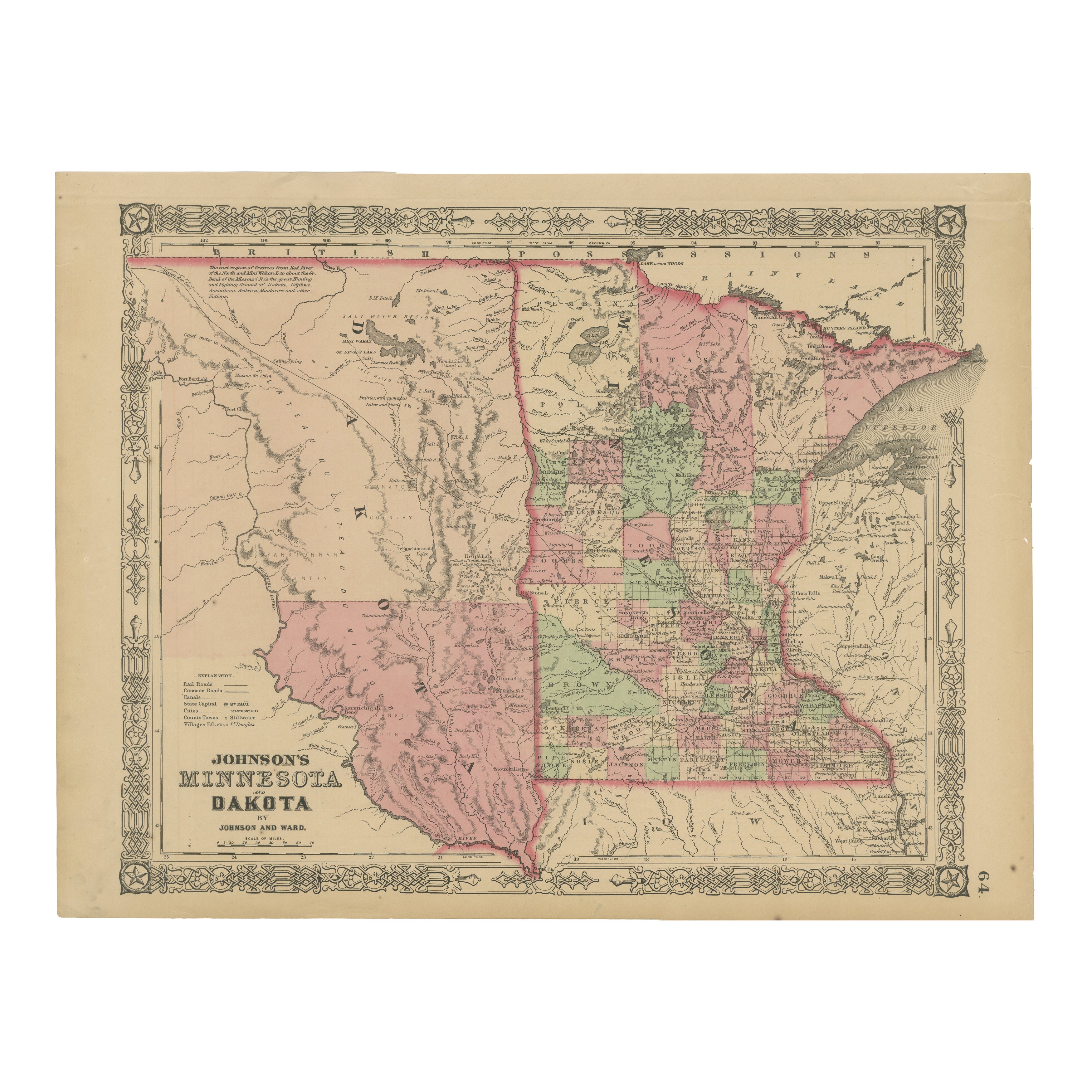
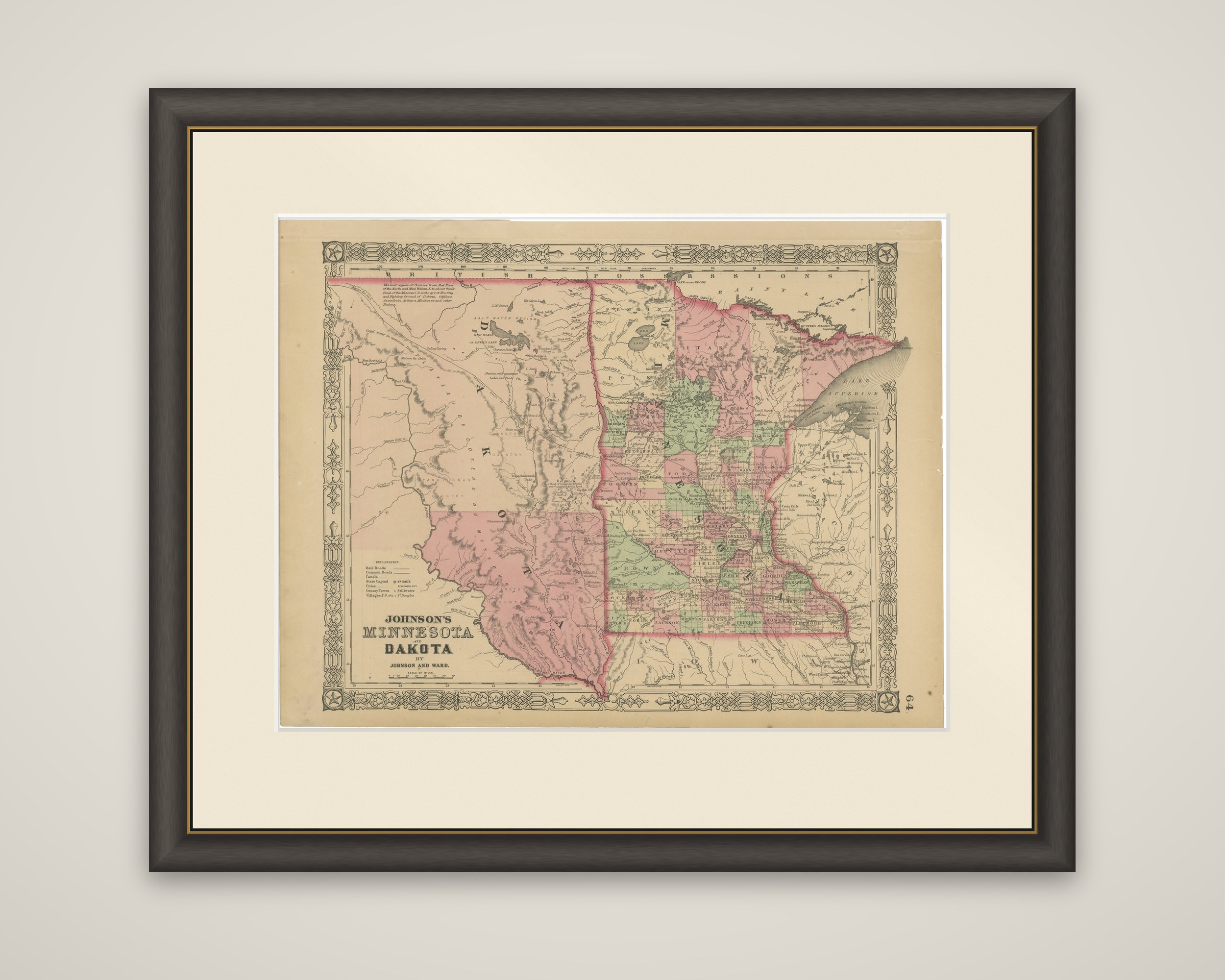
Minnesota and Dakota Map – Johnson, Hand-Colored, USA c.1864
€ 290
Original antique · The actual sheet photographed · Certificate of authenticity on request · Sold unframed · Worldwide shipping from € 15 (rates)
Date
1864
Sheet size
35.7 × 45.7 cm (14.1 × 18.0 in)
Condition
Good
Reference
BG-13952-38
What the condition grades mean
Excellent
Bright and clean, with no faults worth mentioning.
Very good
Only light signs of age, such as faint toning.
Good
Normal signs of age for a sheet of this period: toning, some foxing, small marks or neat old repairs.
Fair
Clear faults such as staining, tears or repairs, priced to match.
Every fault we see is written in the condition note, and the whole sheet is shown uncropped in the photos.
Condition
Good condition. Strong impression with bright original hand coloring. Light general age toning and minor marginal spots or handling marks, typical for antique atlas maps. Edges a bit rough but outside the image. Wide margins and plate mark intact.
About this sheet
Minnesota and Dakota, "Johnson's Minnesota and Dakota by Johnson and Ward," a hand-colored steel-engraved map published in New York around 1864. The title is lettered at the lower left in the publisher's ornamental border, with a key to the symbols above it.
Minnesota is drawn as a state, with its counties tinted in pink, green and yellow, and the settled area concentrated in the southeast along the Mississippi and Minnesota Rivers. To the west the Dakota territory fills the left half of the sheet, with only a few place names and with the Missouri River winding across it, and tinted in large blocks. Lake Superior appears at the right, and along the top the map is lettered "British Possessions." A note in the upper left corner describes the region of the Red River of the North, and a note near the Dakota border refers to the Indian tribes of the region. Iowa lies below Minnesota and Wisconsin to the east.
The sheet shows the region just after the Dakota War of 1862 and before Dakota was divided into two states in 1889.