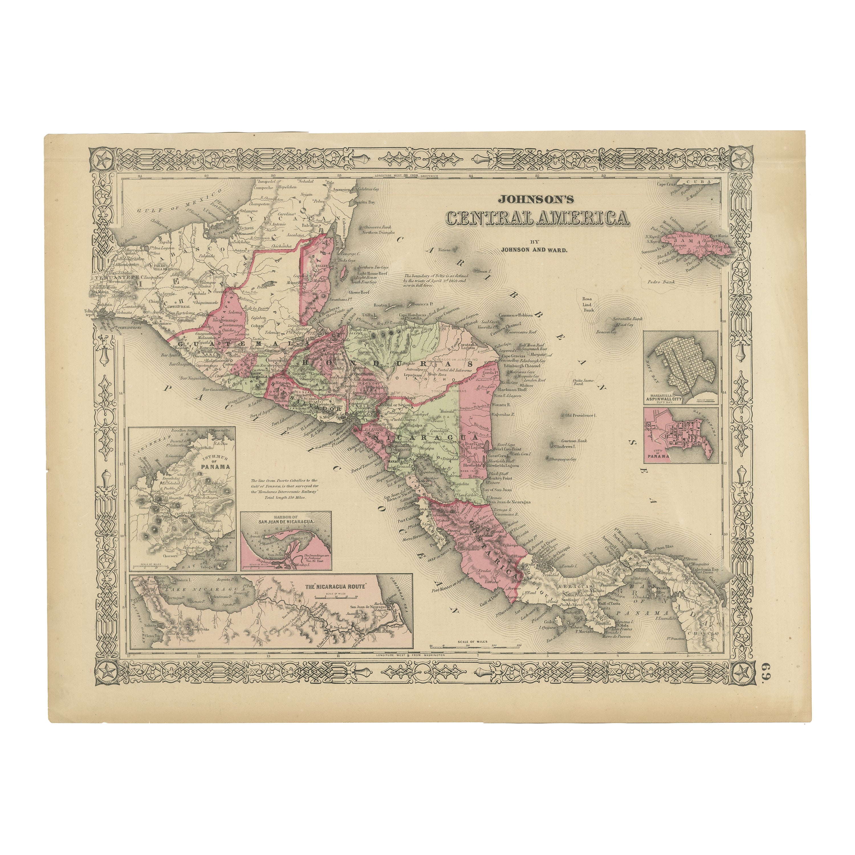
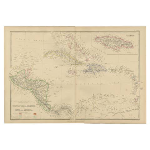
Central America Map – Johnson, Hand-Colored with Insets, c.1864
€ 320
One of a kind: this is the sheet in the photographs. Ships from Langweer, the Netherlands.
Date
1864
Sheet size
35.7 × 45.7 cm (14.1 × 18.0 in)
Condition
Good
Reference
BG-13952-41
Condition
Good condition. Strong impression with bright original hand coloring. Light general age toning and a few minor marginal spots or handling marks, typical for antique atlas maps. No tears or repairs visible. Wide margins and plate mark intact.
About this sheet
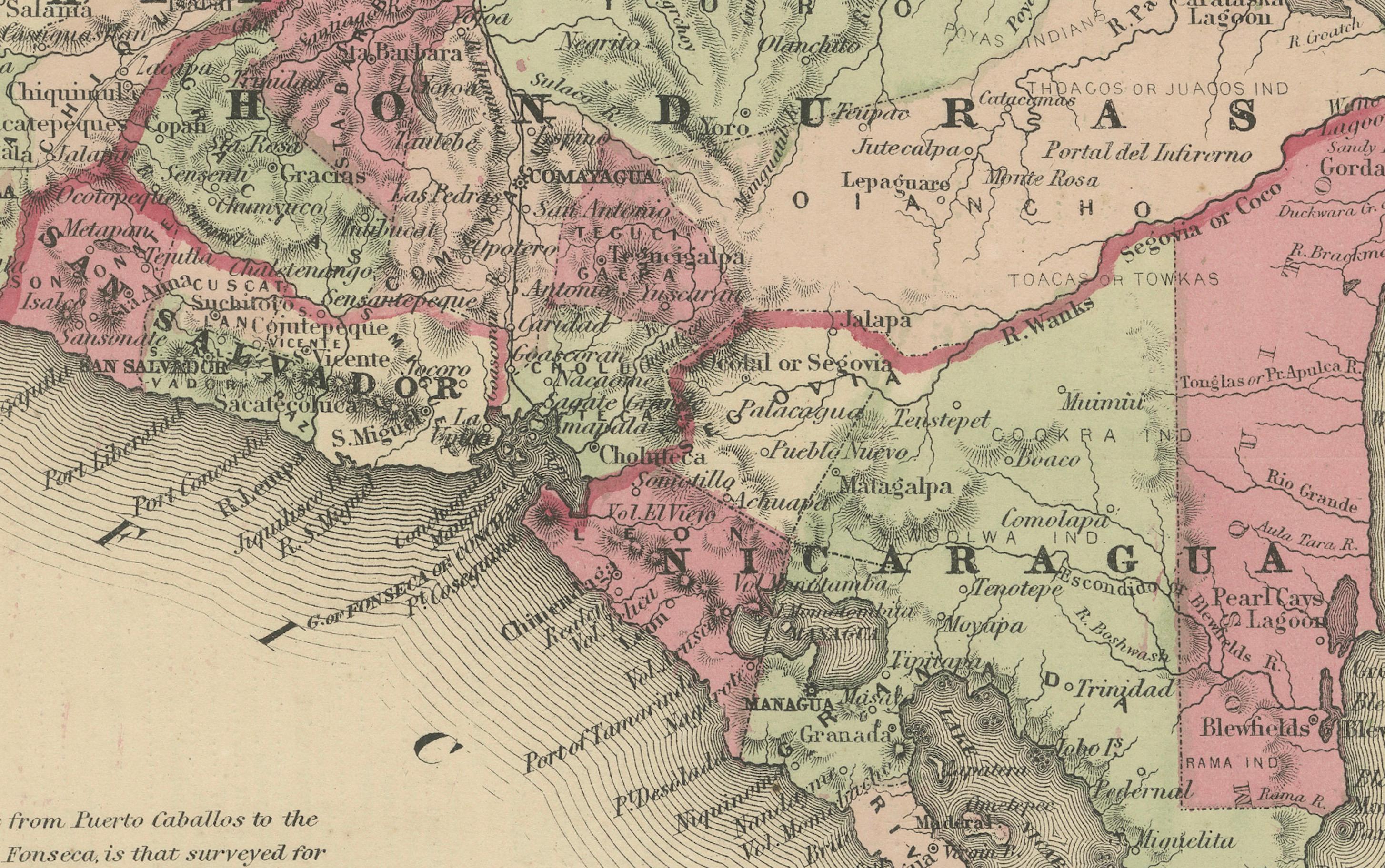
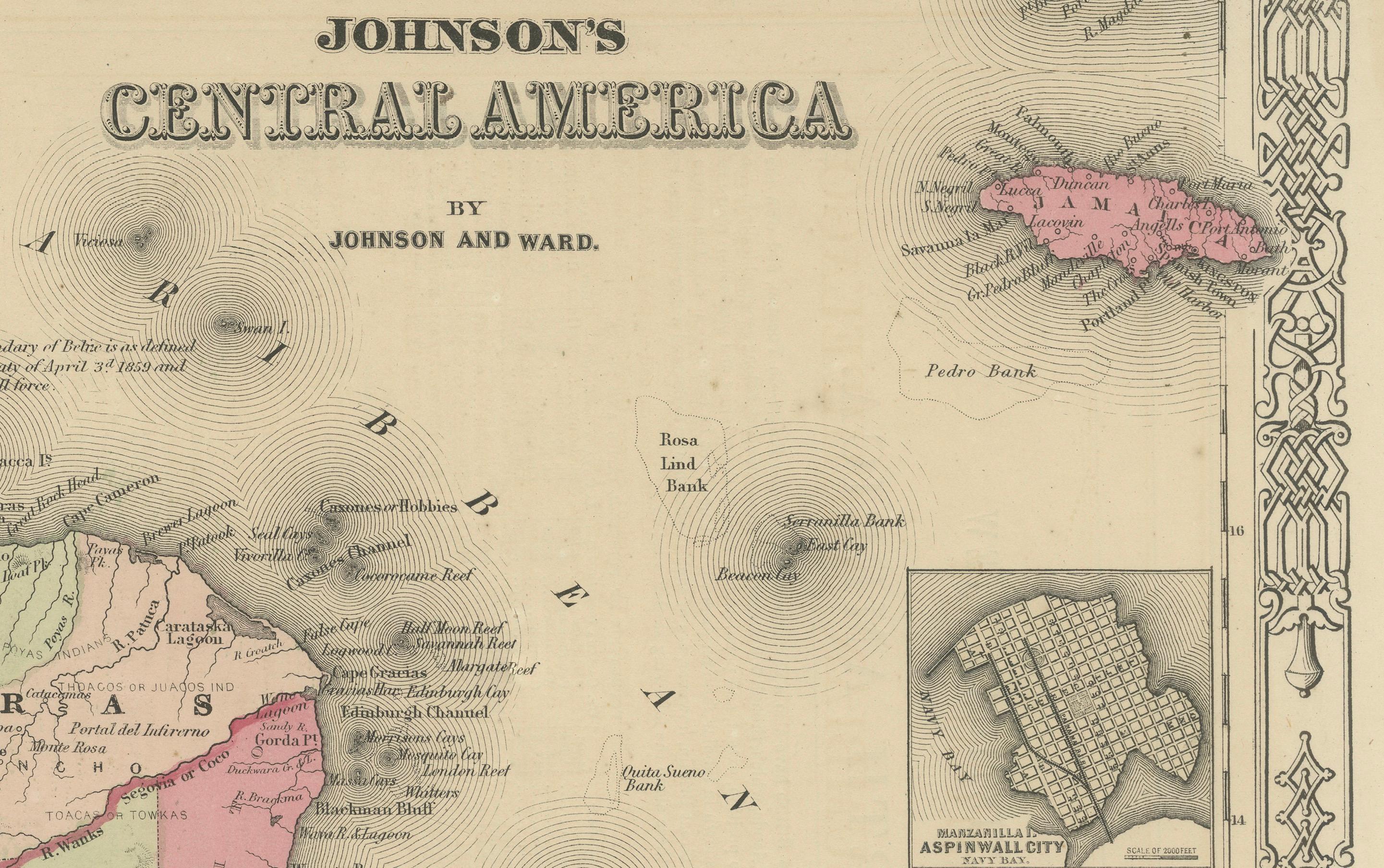
Johnson’s Central America Map, USA c.1864 – Hand-Colored with Insets
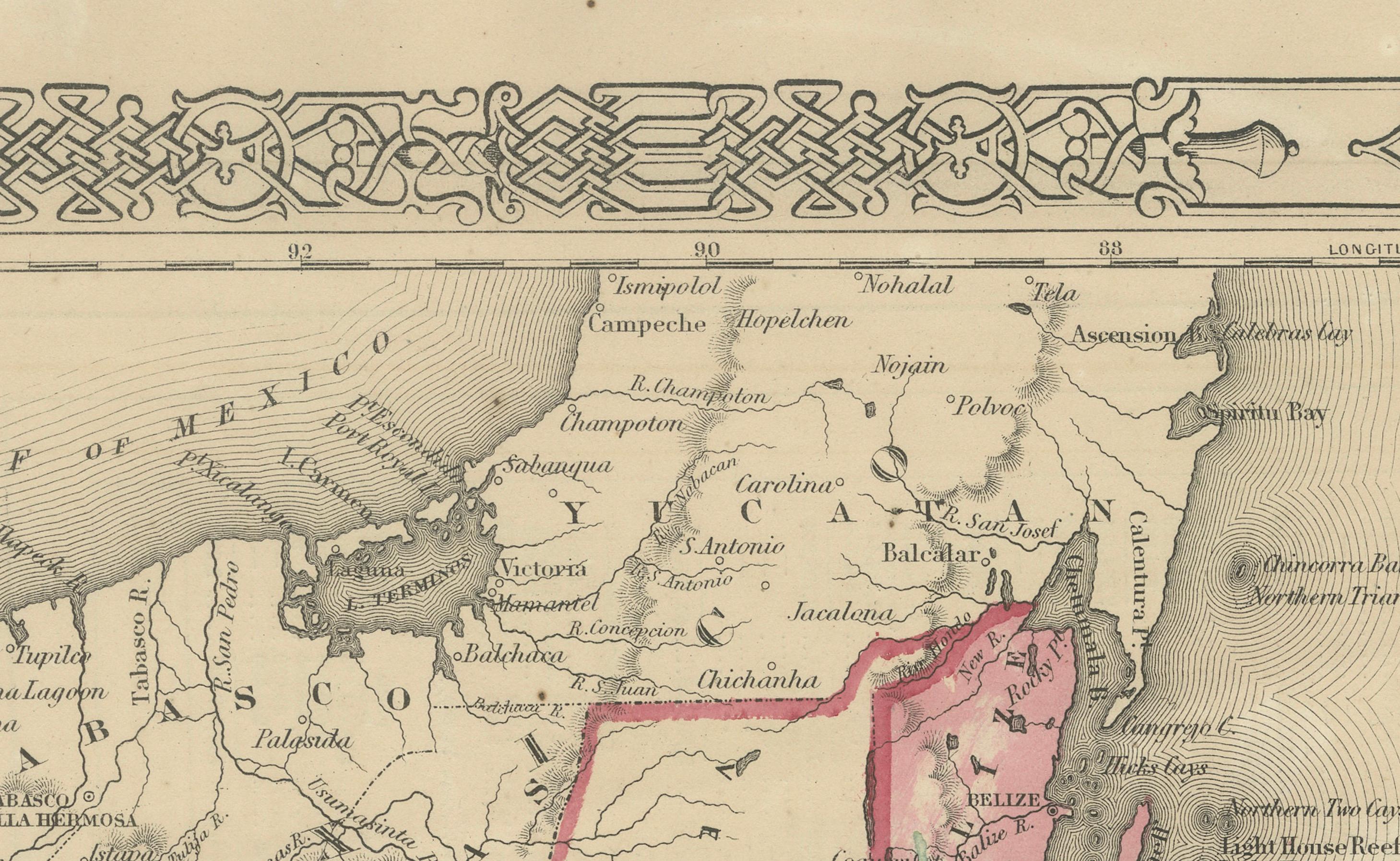
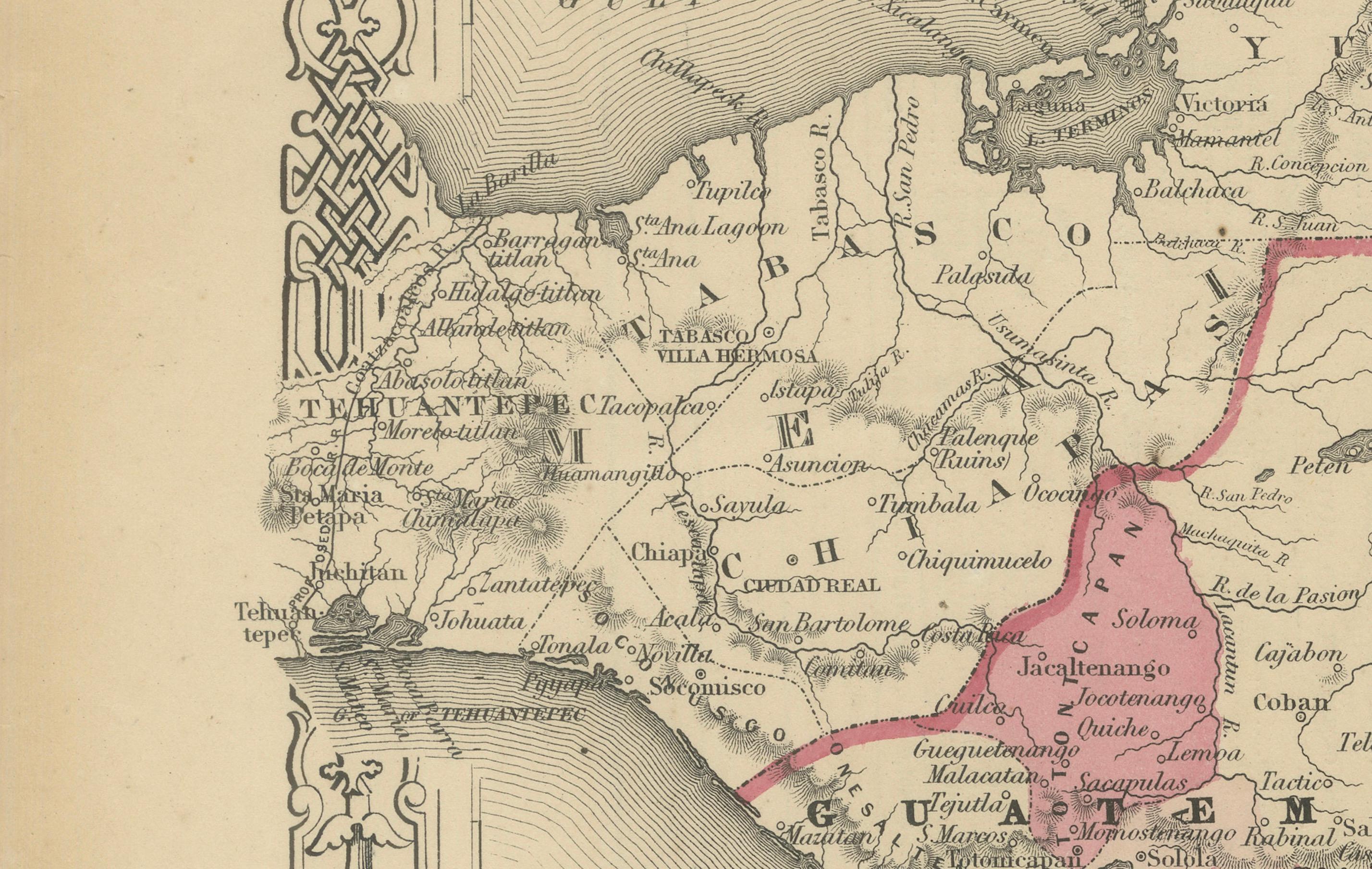
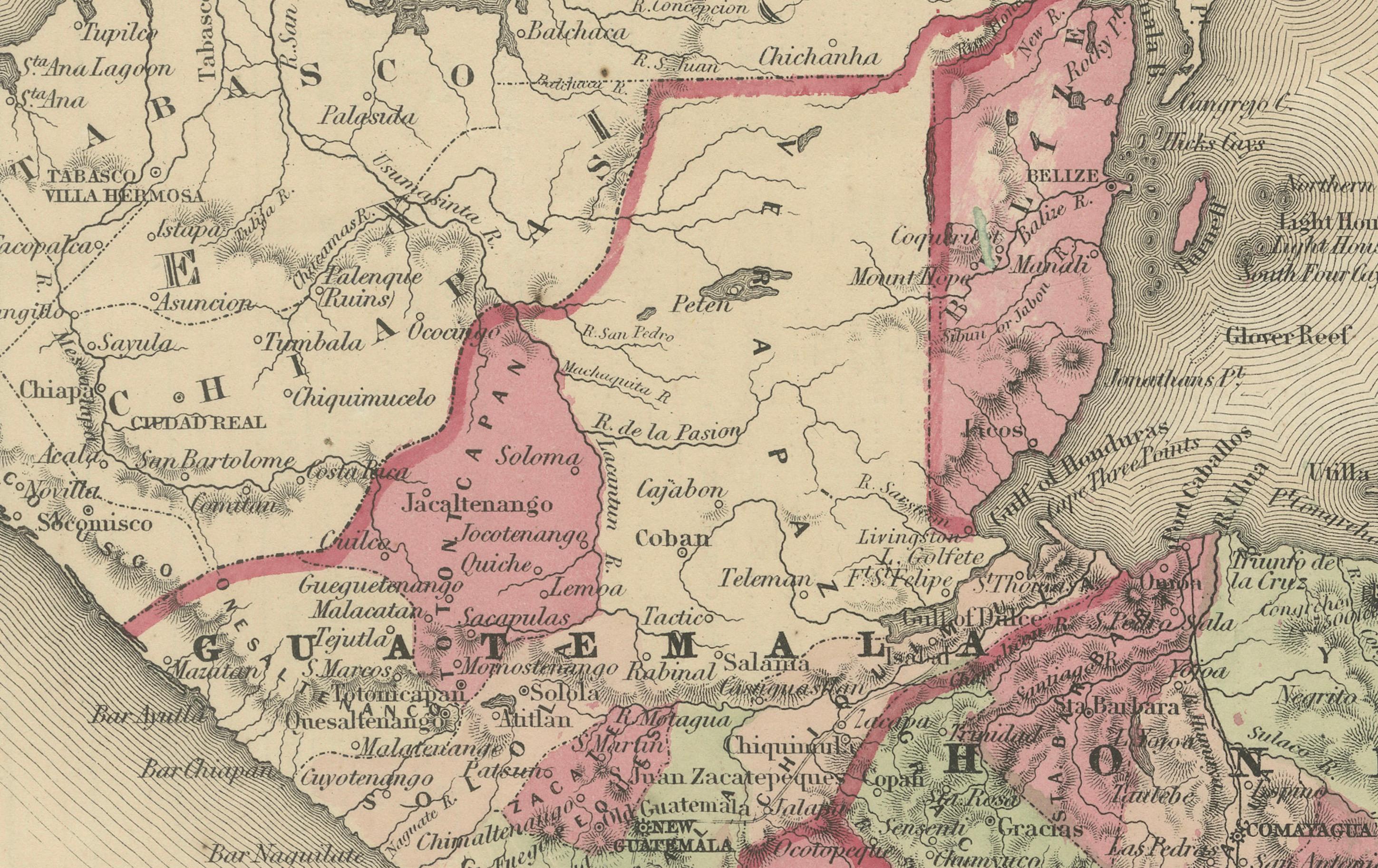
This is a finely engraved and hand-colored map titled Johnson’s Central America, published by Johnson and Ward in New York circa 1864. It depicts the countries of Central America including Guatemala, Honduras, San Salvador (El Salvador), Nicaragua, Costa Rica, Panama, and parts of southern Mexico. The countries are shaded in pastel pink and green wash colors.
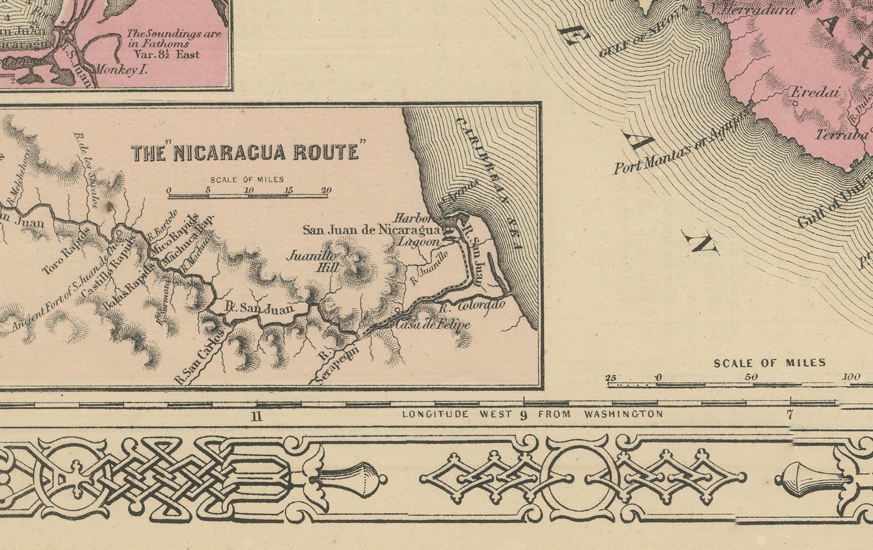
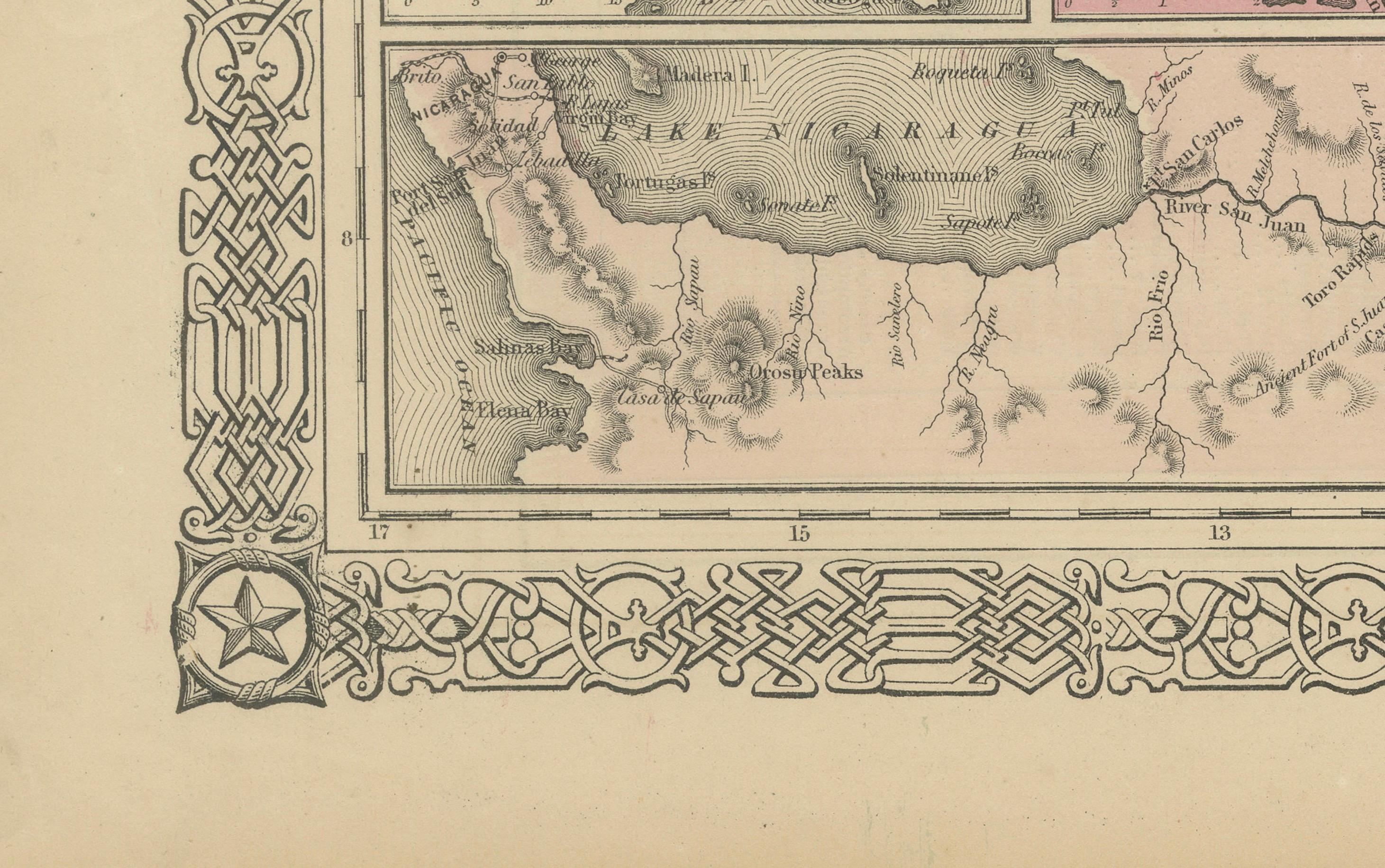
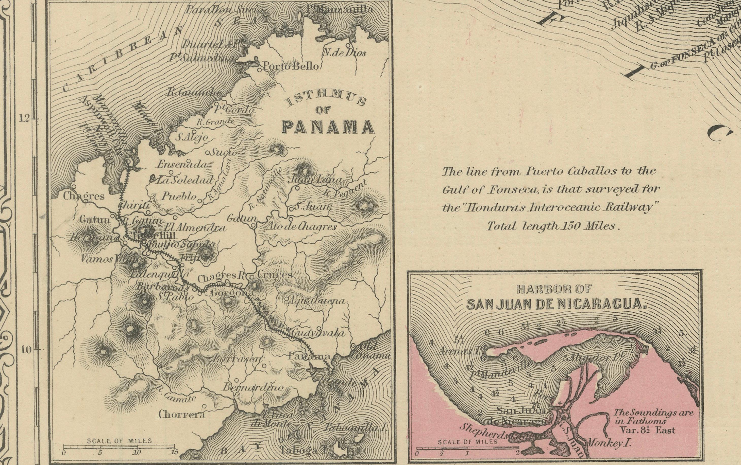
The map includes multiple insets: – Panama and the Isthmus with proposed canal routes – The Nicaragua Route with Lake Nicaragua and the San Juan River – Harbor of San Juan de Nicaragua – City plan of Aspinwall (Colón, Panama) – City plan of Panama – Jamaica (upper right corner)
These insets reflect the strategic interest in Central American transit routes before the Panama Canal was constructed. The detailed insets show port cities, islands, and proposed transport lines critical to American and European trade ambitions in the mid-19th century.
The map is surrounded by Johnson’s distinctive decorative border of interlaced geometric and floral motifs, enhancing its aesthetic appeal. Johnson and Ward were leading American atlas publishers known for their combination of cartographic accuracy and decorative presentation. Their maps of Central America are valued for documenting early national boundaries, transit routes, and economic geography during a period of growing global trade.
Condition report:
Good condition. Strong impression with bright original hand coloring. Light general age toning and a few minor marginal spots or handling marks, typical for antique atlas maps. No tears or repairs visible. Wide margins and plate mark intact.
Framing suggestion:
Frame with a simple dark wood or black frame and an archival off-white or cream mat to highlight the pastel coloring and decorative border. Use UV-protective glass to preserve paper quality and prevent fading.