Antique Maps of South America
152 original sheets
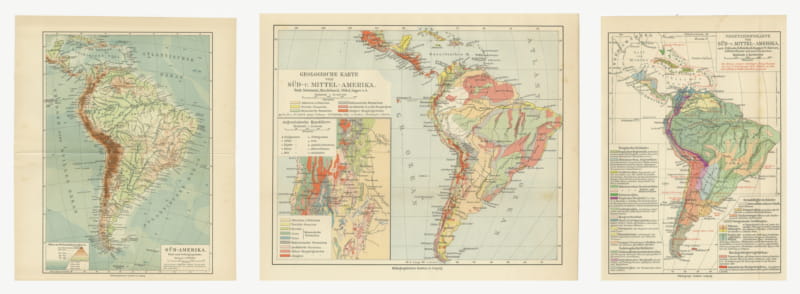
Antique Maps of South America, Relief, Geology and Plants, Set of Three, 1916
1916 · € 230
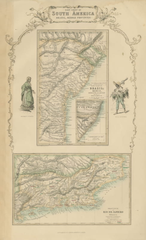
Antique Map of the Brazilian Coast with Rio de Janeiro Province, circa 1860
circa 1860 · € 290
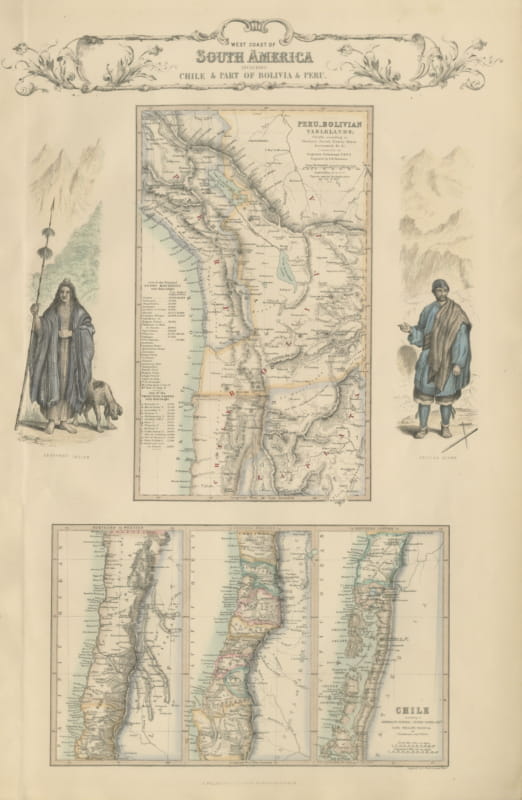
Antique Map of the West Coast of South America with Costume Figures, circa 1860
circa 1860 · € 545
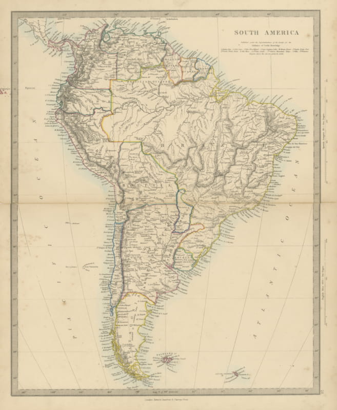
Antique Map of South America with the Falklands and South Georgia, 1858
1858 · € 240
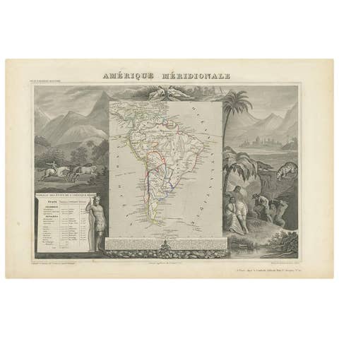
Antique Map of South America by V. Levasseur, 1854
1854 · € 300
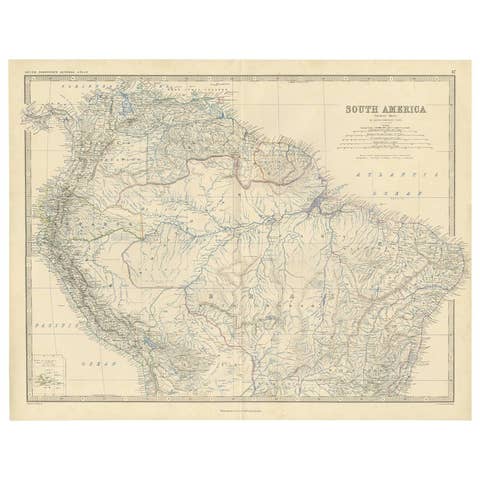
Antique Map of South America ‘North’ by A.K. Johnston, 1865
1865 · € 275
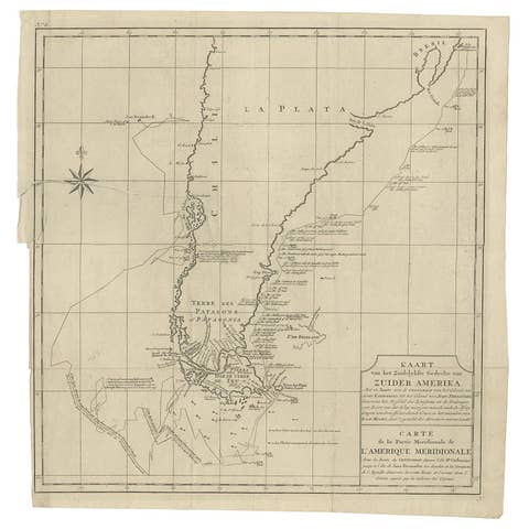
Antique Map of South America by G. Anson, 1749
1749 · € 350
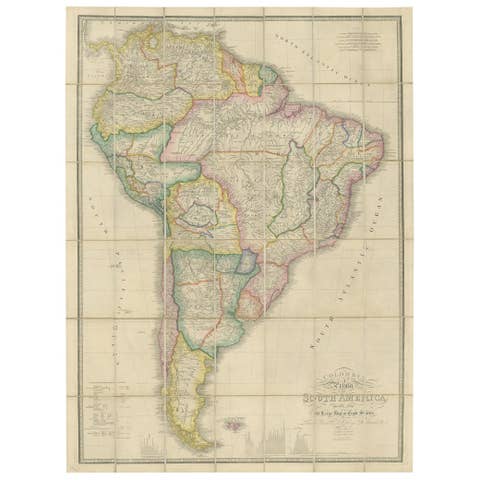
Antique Map of South America by Wyld, circa 1850
1850 · € 1 950
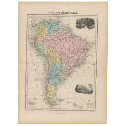
Antique Map of South America by Migeon '1880'
1880 · € 134
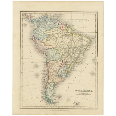
Antique Map of South America by Dower, ‘circa 1845’
1845 · € 150

Antique Map of South America by J. Cook, 1775
1775 · € 575
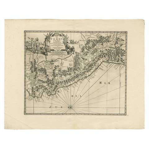
Antique Map of Peru by van der Aa, 'circa 1720'
1720 · € 693

Antique Map of the Brazil Railway Company, '1912'
1912 · € 150
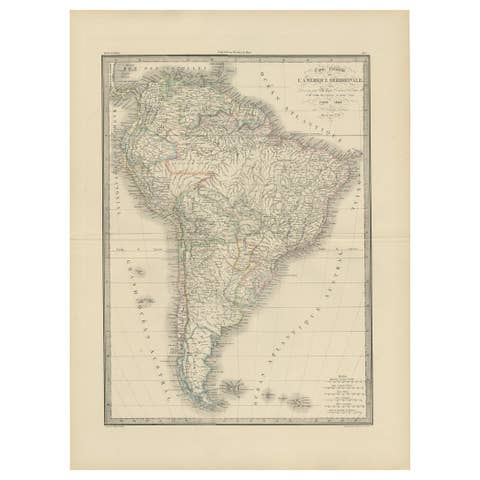
Antique Map of South America by Lapie '1842'
1842 · € 385
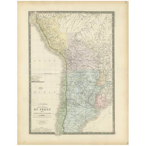
Original Antique Map of Peru in South America, 1875
1875 · € 350
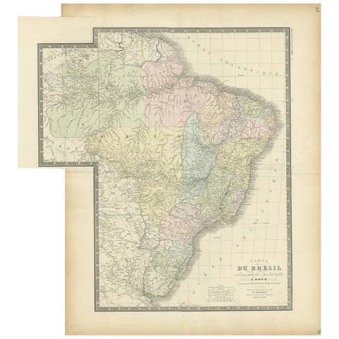
Antique Map of Brazil by Levasseur '1875'
1875 · € 400
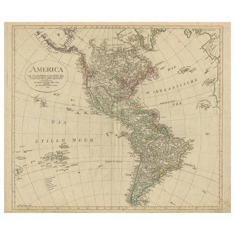
Antique Map of North and South America by Schneider and Weigel, 1818
1818 · € 1 500
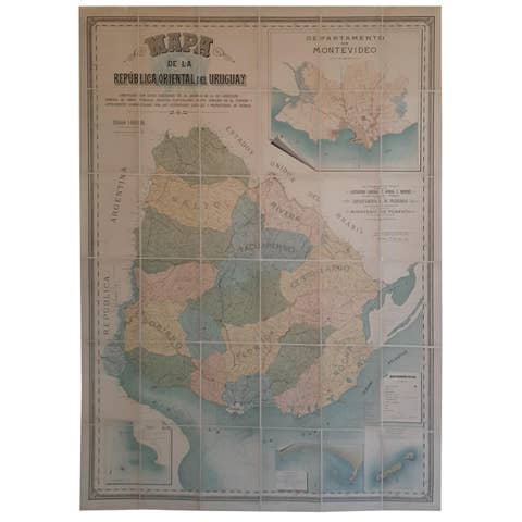
Cortesi's Masterpiece: A Comprehensive and Authoritative Map of Uruguay, 1903
1903 · € 5 500
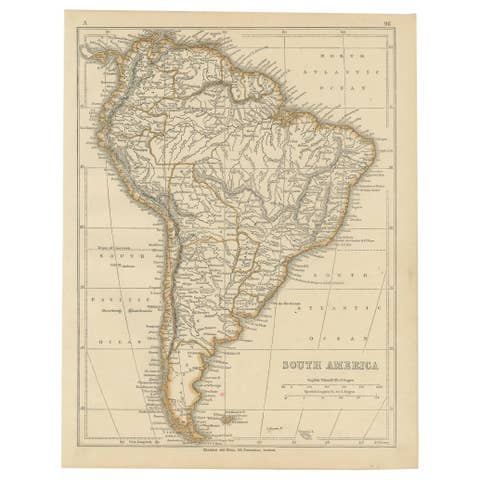
Antique Map of South America by Lowry, 1852
1852 · € 150
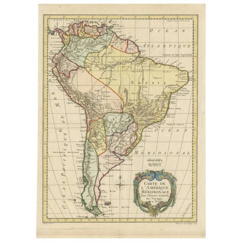
Antique Map of South America by De la Harpe '1780'
1780 · € 500
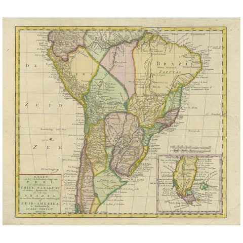
Antique Map of South America by Tirion 'circa 1765'
1765 · € 500
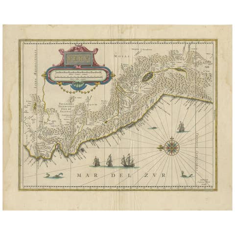
Antique Map of Peru in South America by Blaeu, circa 1645
1645 · € 750
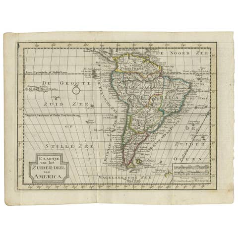
Antique Map of South America by Keizer & de Lat, 1788
1788 · € 400
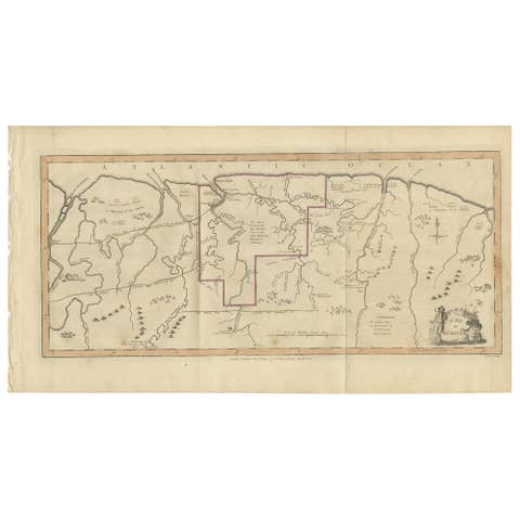
Antique Map of Surinam by Stedman '1813'
1813 · € 500
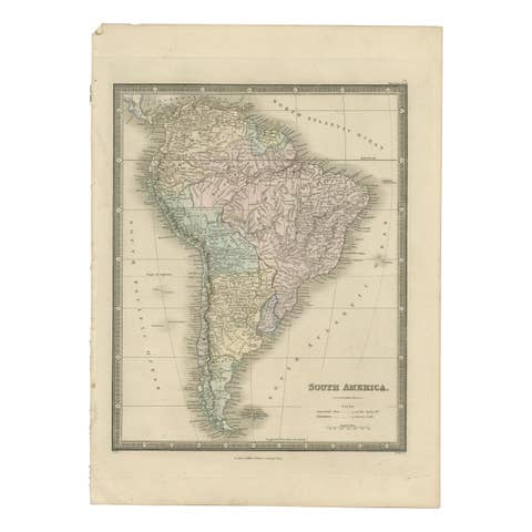
Antique Map of South America by Wyld, '1845'
1845 · € 300

Antique Map of Brazil by Wyld, '1845'
1845 · € 250
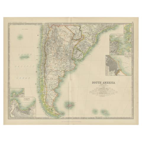
Antique Map of South America by Johnston '1909'
1909 · € 250
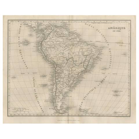
Antique Map of South America by Balbi '1847'
1847 · € 200
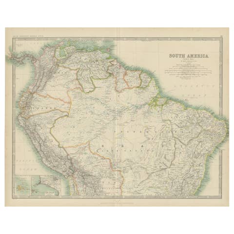
Exploring South America's North: Antique Map from the Royal Atlas of 1909
1909 · € 250
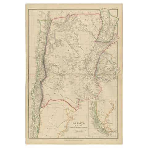
La Plata, Chile, Paraguay, Uruguay and Patagonia, Antique Map, Blackie, 1859
1859 · € 360
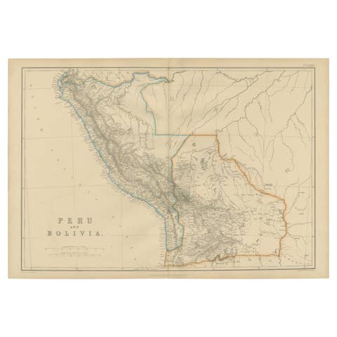
Antique Map of Peru and Bolivia by W. G. Blackie, 1859
1859 · € 250
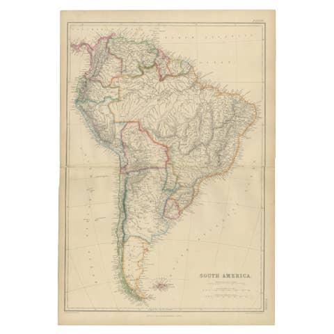
Antique Map of South America by W. G. Blackie, 1859
1859 · € 220
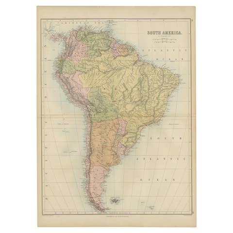
Antique Map of South America by A & C. Black, 1870
1870 · € 275

Antique Map of Chile, La Plata and Part of Bolivia by A & C. Black, 1870
1870 · € 175

Antique Map of Brazil, Uruguay, Paraguay and Guyana by A & C. Black, 1870
1870 · € 175

Antique Map of South America by Philip & Son, 1875
1875 · € 60
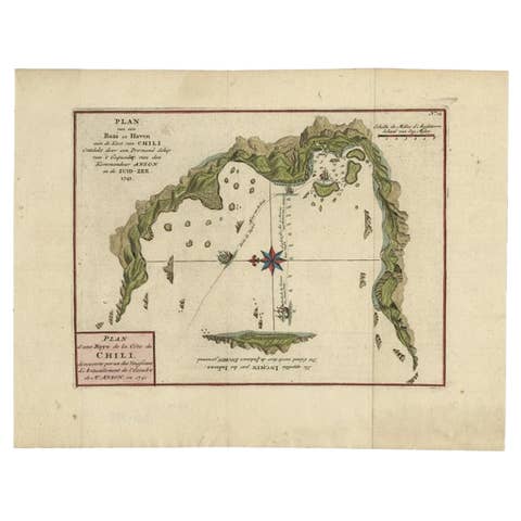
Chile Coast Bay Map – Antique 1749 Chart by Anson from Voyage Around the World
1749 · € 360
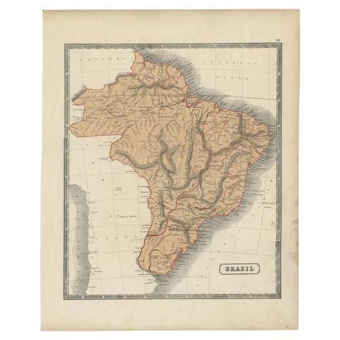
Antique Brazil Map, Sidney Hall Engraving for A & C Black Atlas c.1842–1853
1842 · € 260
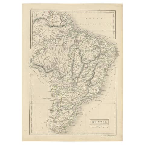
Antique Map of Brazil with Original Outline Hand-Coloring, c.1844
1844 · € 240
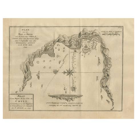
Antique Map of a Bay on the Coast of Chile, South America, c.1749
1749 · € 320

Antique Map of Eastern Brazil, 1849
1849 · € 320
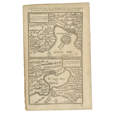
Antique Map of Fort Saint Louis and Santiago de Cuba, 1748
1748 · € 190
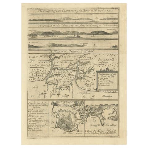
Antique Map of Cayenne and Cassepouri, French Guinea, South America, c.1730
1730 · € 380
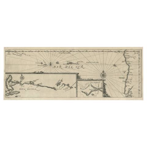
Antique Map of Mar del Sur, Chile, Peru, New Guinea and Tierra del Fuego, 1621
1621 · € 750
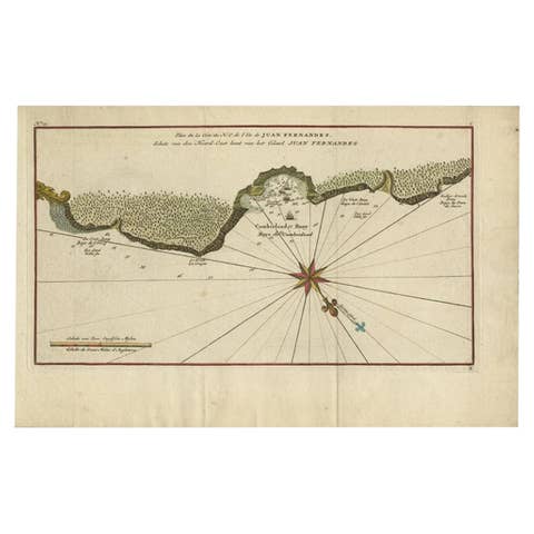
Juan Fernandez Island Map – Antique Chilean Chart circa 1750
1750 · € 350
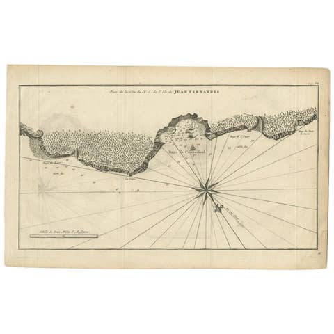
Antique Map of Juan Fernandez Island by Anson, c.1740
1740 · € 330
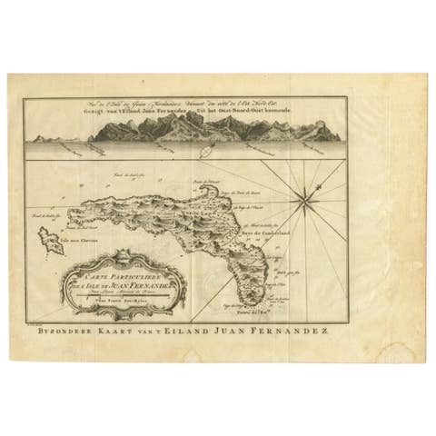
Original Antique Map of Juan Fernandez by Van Schley, 1757
1757 · € 360
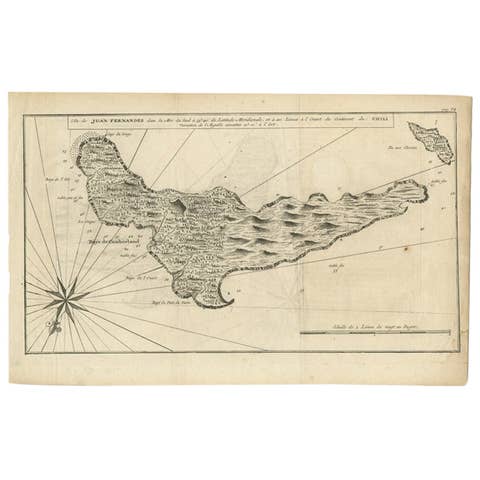
Antique Map of Juan Fernandez, Chile, c.1740
1740 · € 190