
Black Friday starts Friday 20 November: up to 30% off, plus free FedEx shipping on qualifying orders →
Orders placed from 15 to 30 November ship from 1 December, in time for Christmas. Our shipping partner: InXpress.
Maps & PrintsBartele Gallery · Langweer
Home / Antique Maps / America / Central America & Caribbean

Central America & Caribbean · 19th century

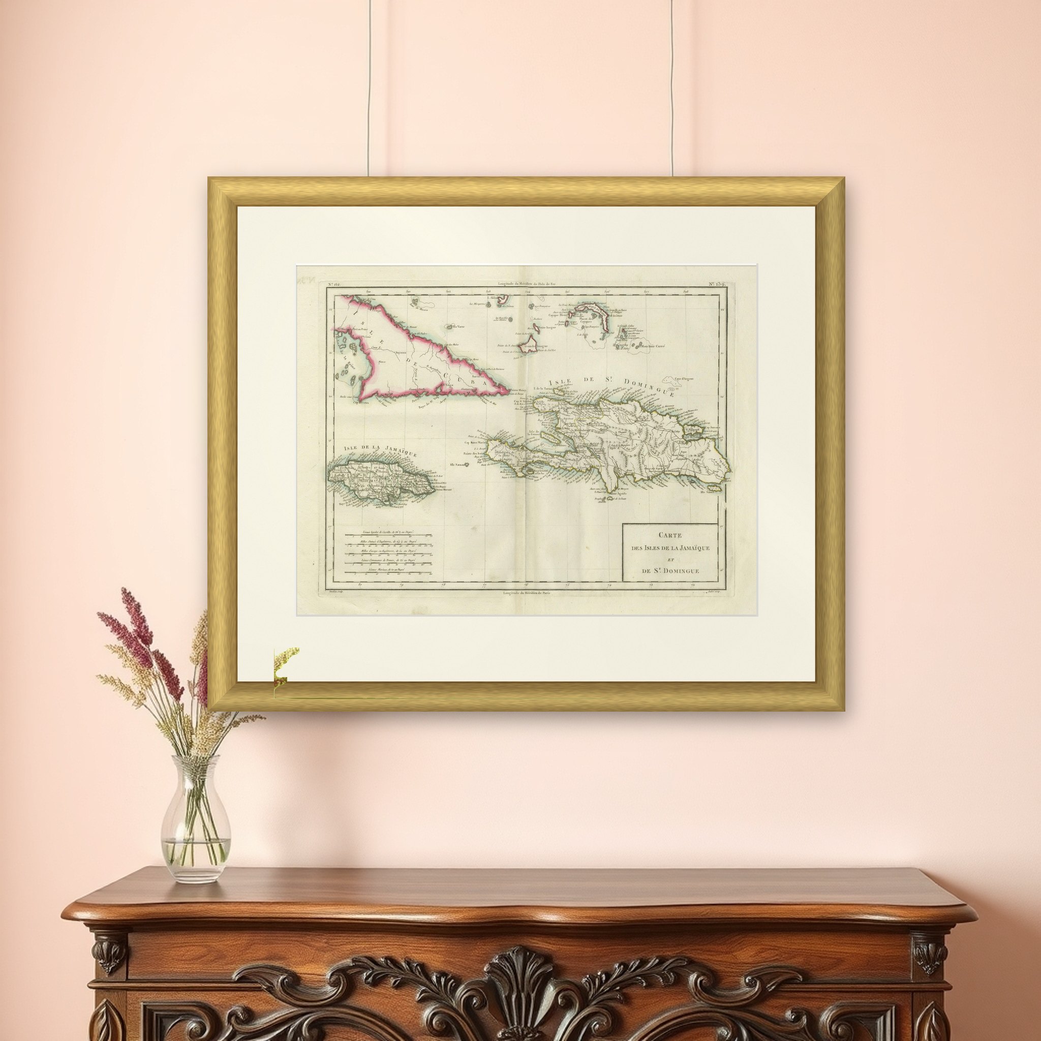
Antique Map of Jamaica and Hispaniola (Saint-Domingue and Santo Domingo), 1802

€ 560

Original antique · The actual sheet photographed · Certificate of authenticity on request · Sold unframed · Worldwide shipping from € 15 (rates)

Date
1802
Sheet size
41.5 × 56.5 cm (16.3 × 22.2 in)
Condition
Good
Reference
BG-13769-39
What the condition grades mean
Excellent
Bright and clean, with no faults worth mentioning.
Very good
Only light signs of age, such as faint toning.
Good
Normal signs of age for a sheet of this period: toning, some foxing, small marks or neat old repairs.
Fair
Clear faults such as staining, tears or repairs, priced to match.

Every fault we see is written in the condition note, and the whole sheet is shown uncropped in the photos.

Condition

Good condition with minor age-related wear. Hand-colored boundaries are well-preserved, enhancing the clarity of regions and features. Fold lines as issued. Damp spot at bottom edge. Some wear due to handling and age. Study the images carefully.
About this sheet

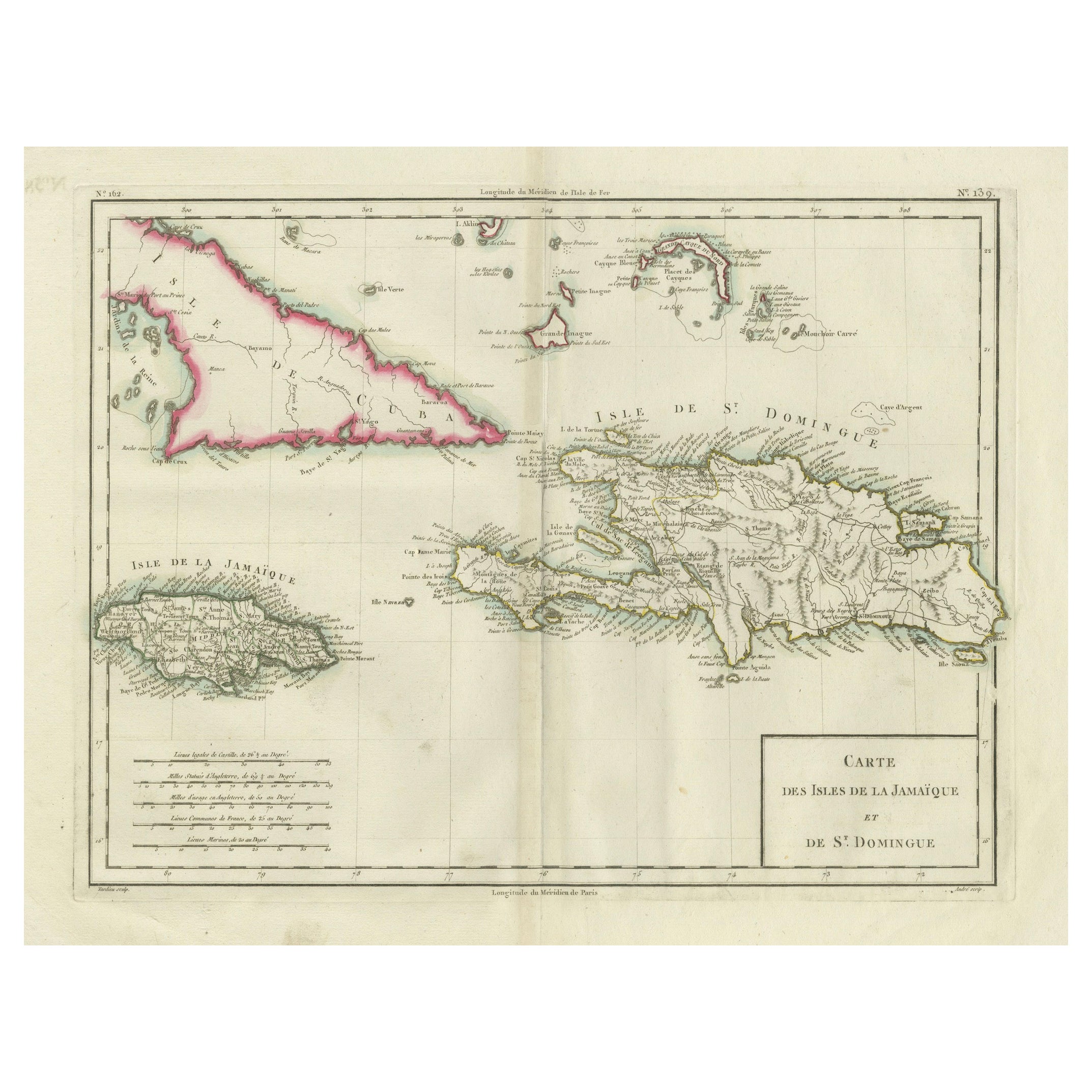
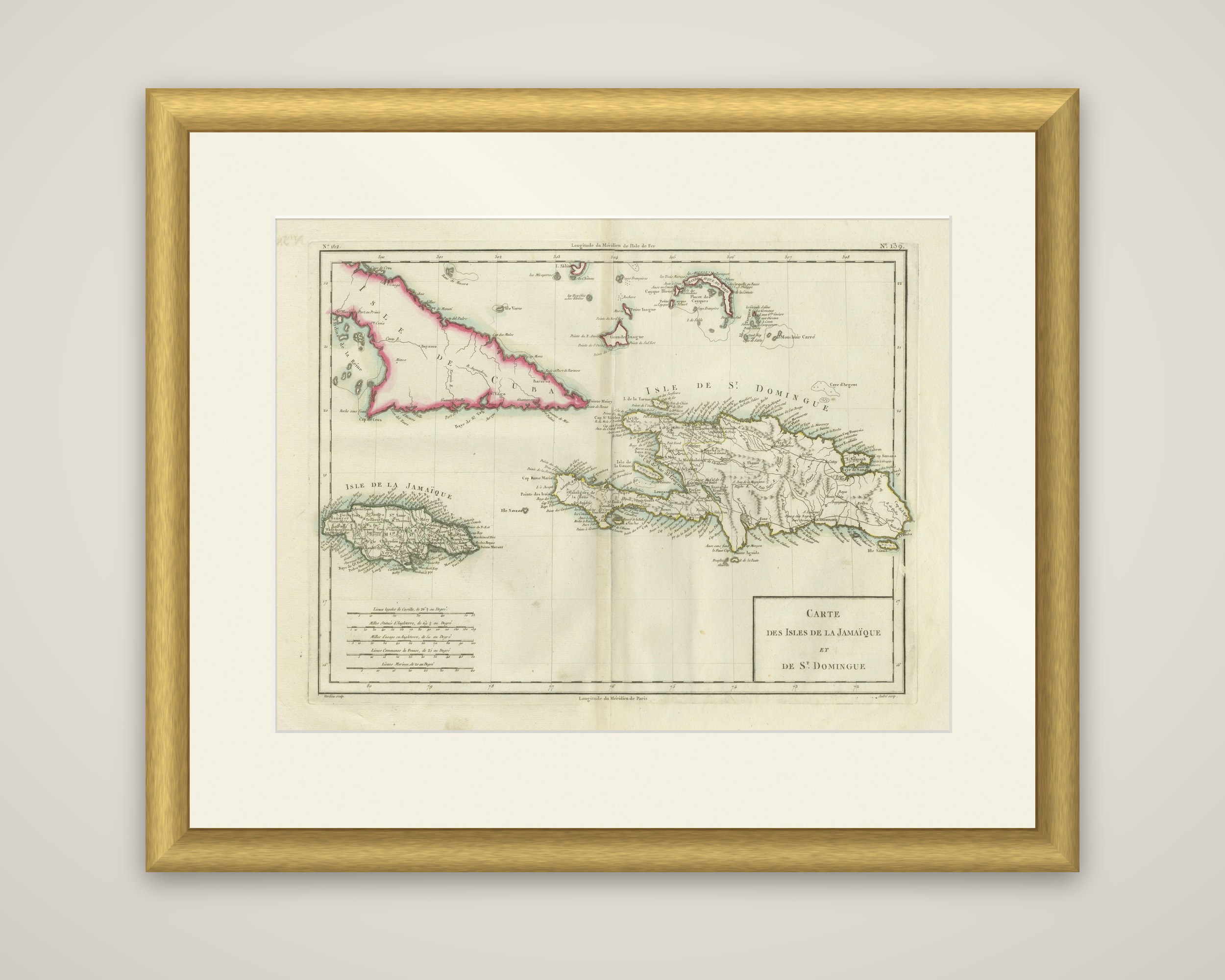
Cuba, Jamaica and Hispaniola on one sheet, an original copper-engraved map with hand-colored outlines, dated 1802 and attributed to Tardieu. The boxed title at the lower right reads "Carte des Isles de la Jamaïque et de St. Domingue".

Jamaica is drawn at the lower left as "Isle de la Jamaïque", with its parishes and coastal towns engraved in small lettering. Hispaniola, "Isle de St. Domingue", spreads across the right, its rivers, mountain ranges and the long coastline with capes and bays named in French. Cuba enters at the upper left as "Isle de Cuba", outlined in a bold pink, and the Bahama banks and Turks Islands fill the top of the sheet. Puerto Rico shows at the right edge.

A set of scale bars in the lower left corner gives Spanish leagues of Castile, English miles, French common leagues and marine leagues side by side. The map dates from the years of the Haitian Revolution, and the title still uses the colonial name Saint-Domingue for the whole island.

More from Central America & Caribbean

Ask about this sheet

Antique Map of Jamaica and Hispaniola (Saint-Domingue and Santo Domingo), 1802
1802 · Ref. BG-13769-39 · € 560
We reply by email, usually within one working day.

Your favorites

Saved in this browser. Email the list to yourself to keep it on any device.

We use your email to send this list and, only if you tick the box and confirm, for occasional new arrivals. Every email has an unsubscribe link. Bartele Gallery, the Netherlands.

Powered by SiteKeys