About this sheet
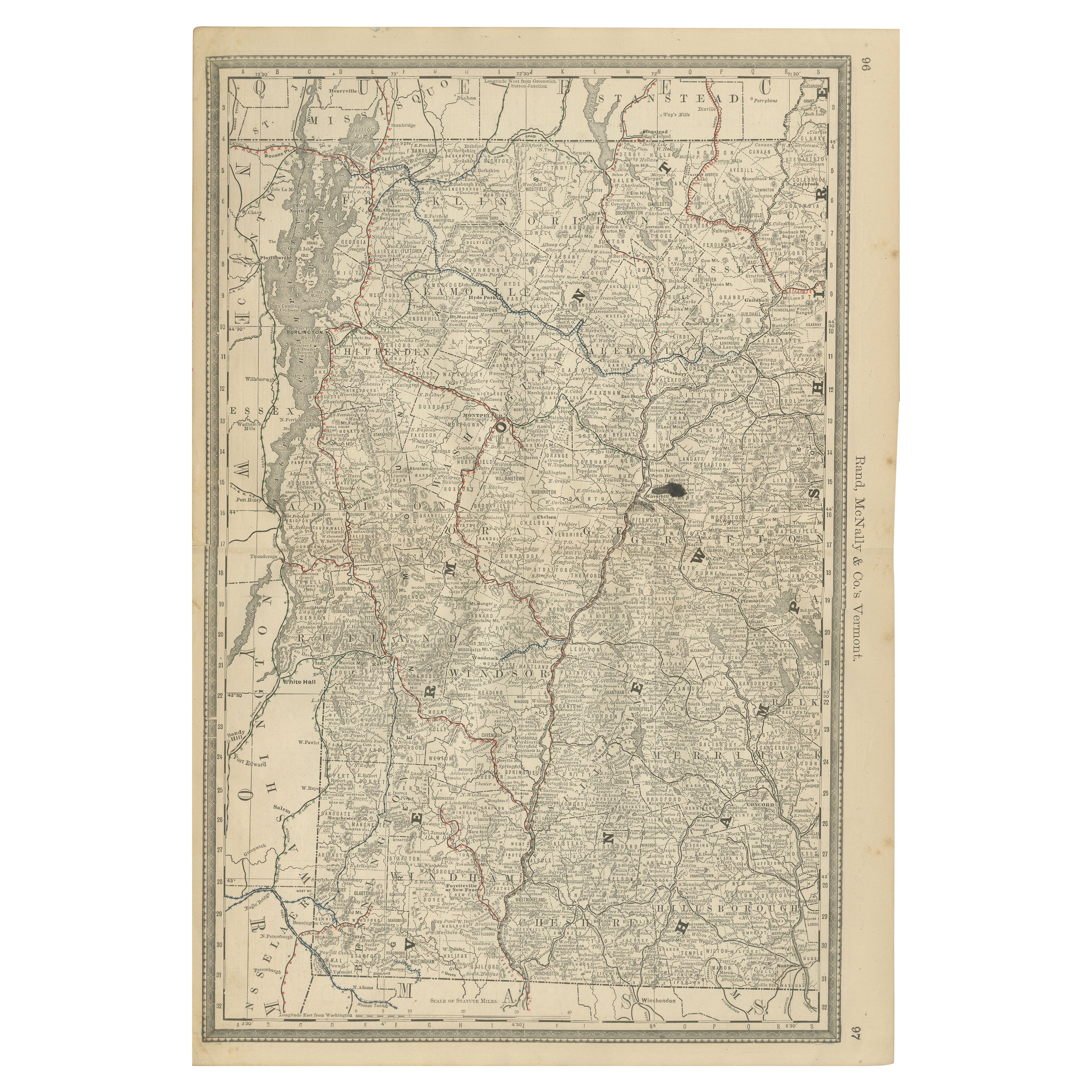
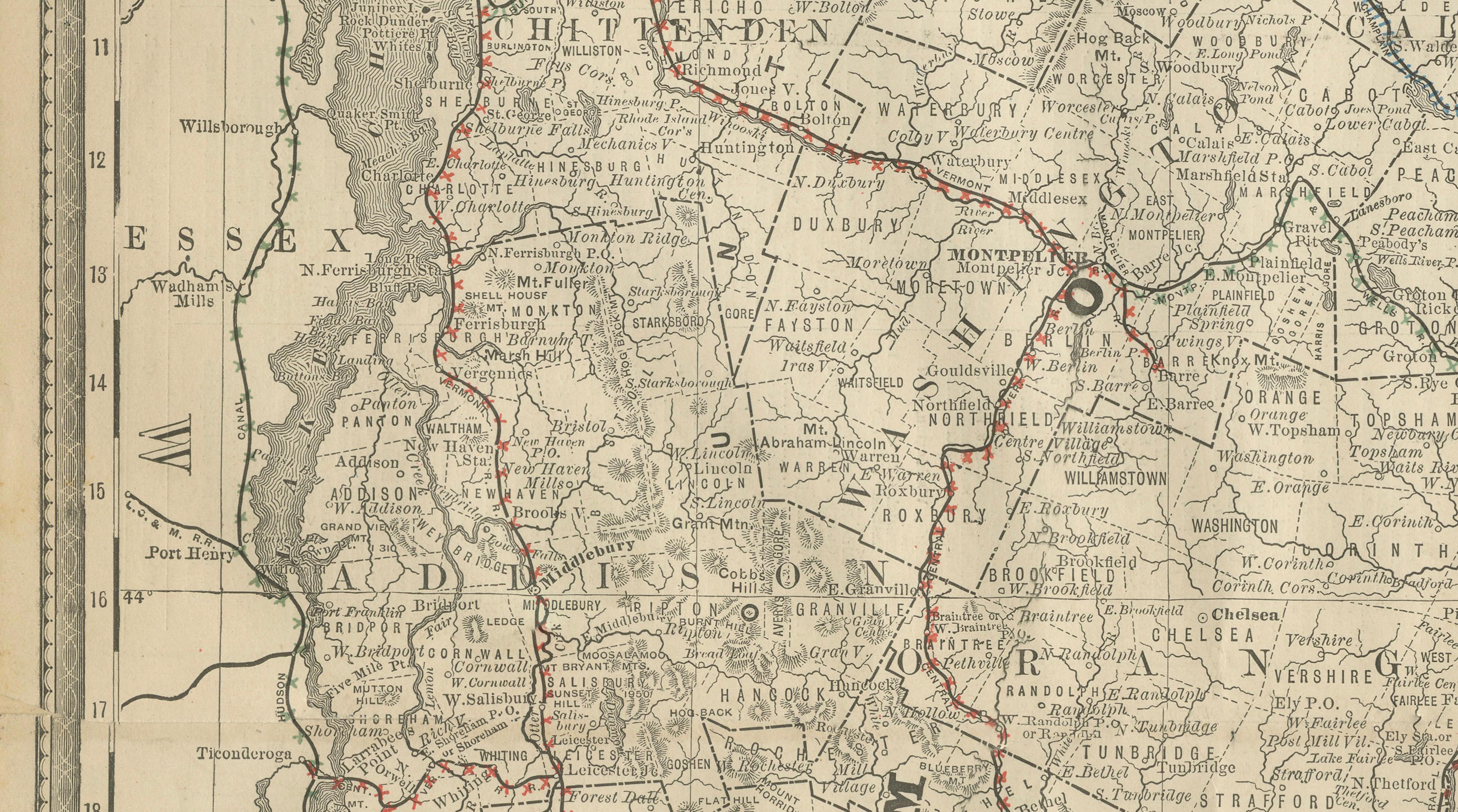
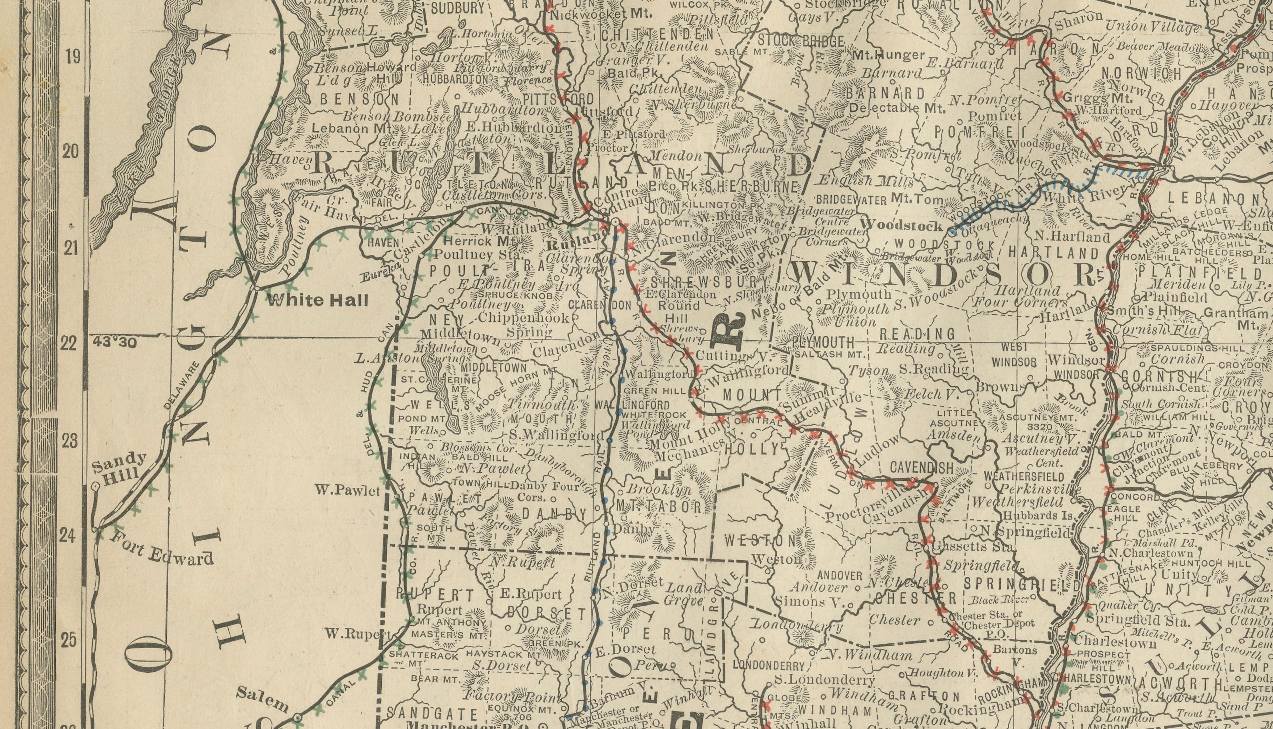
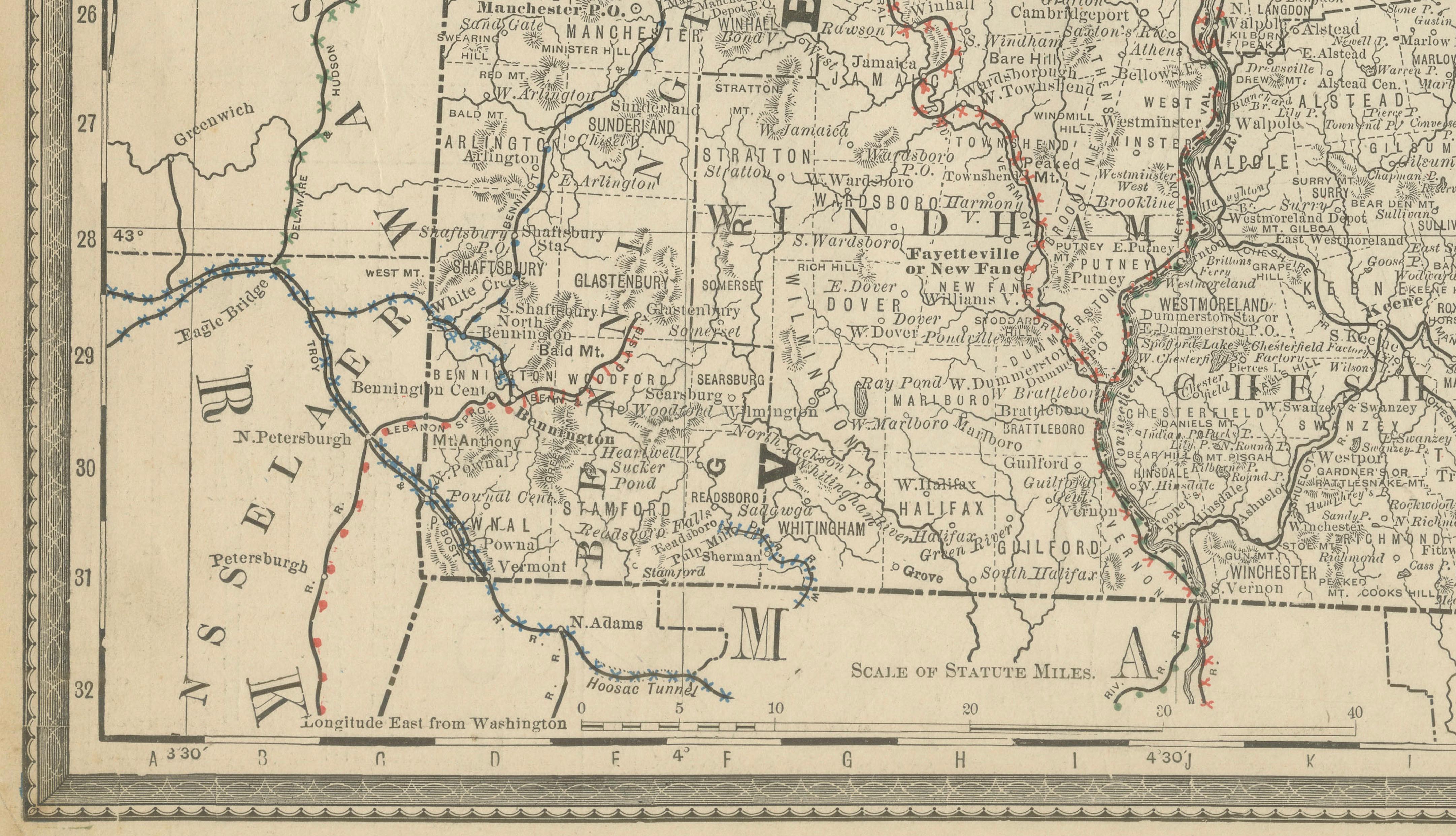
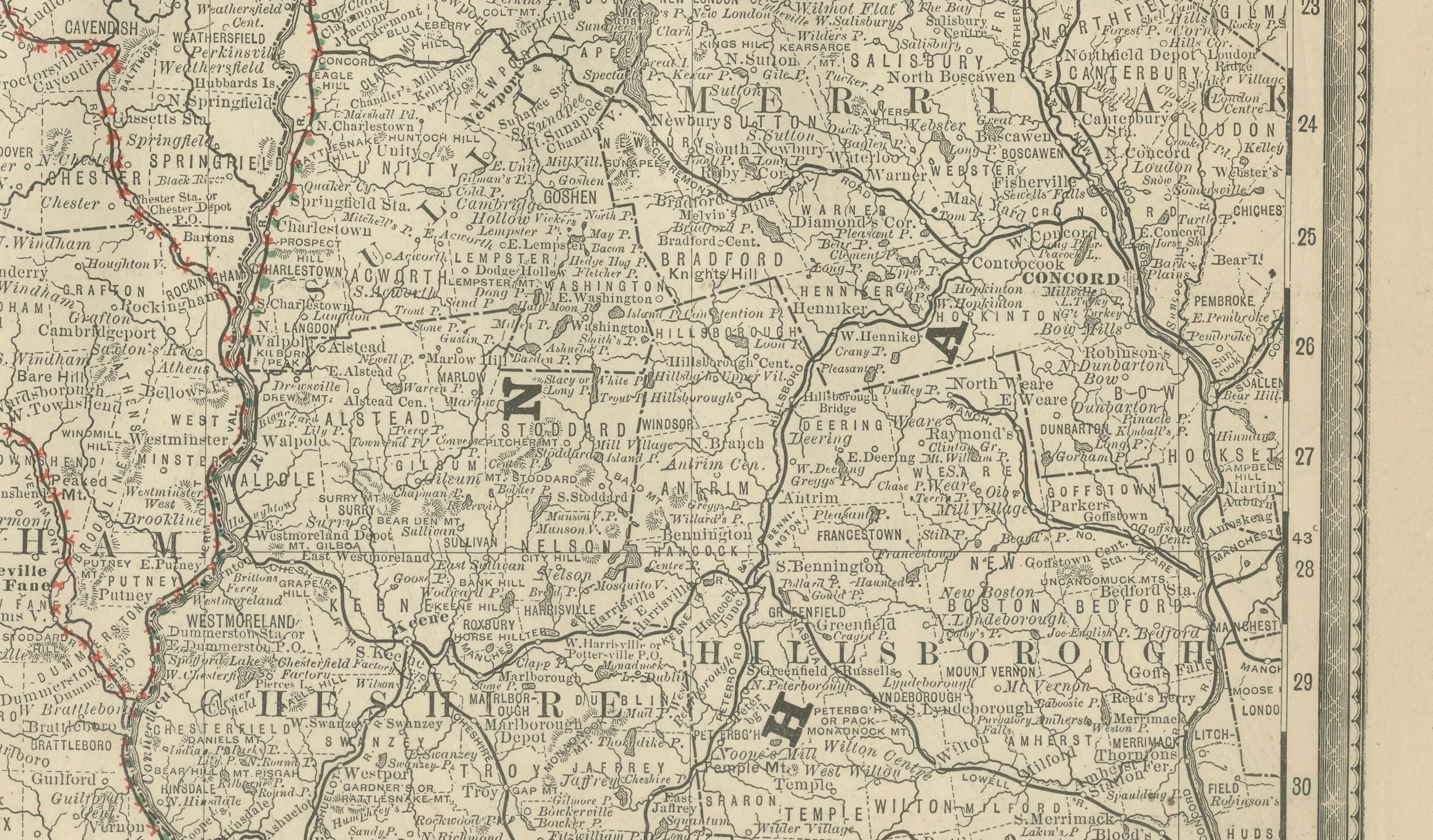
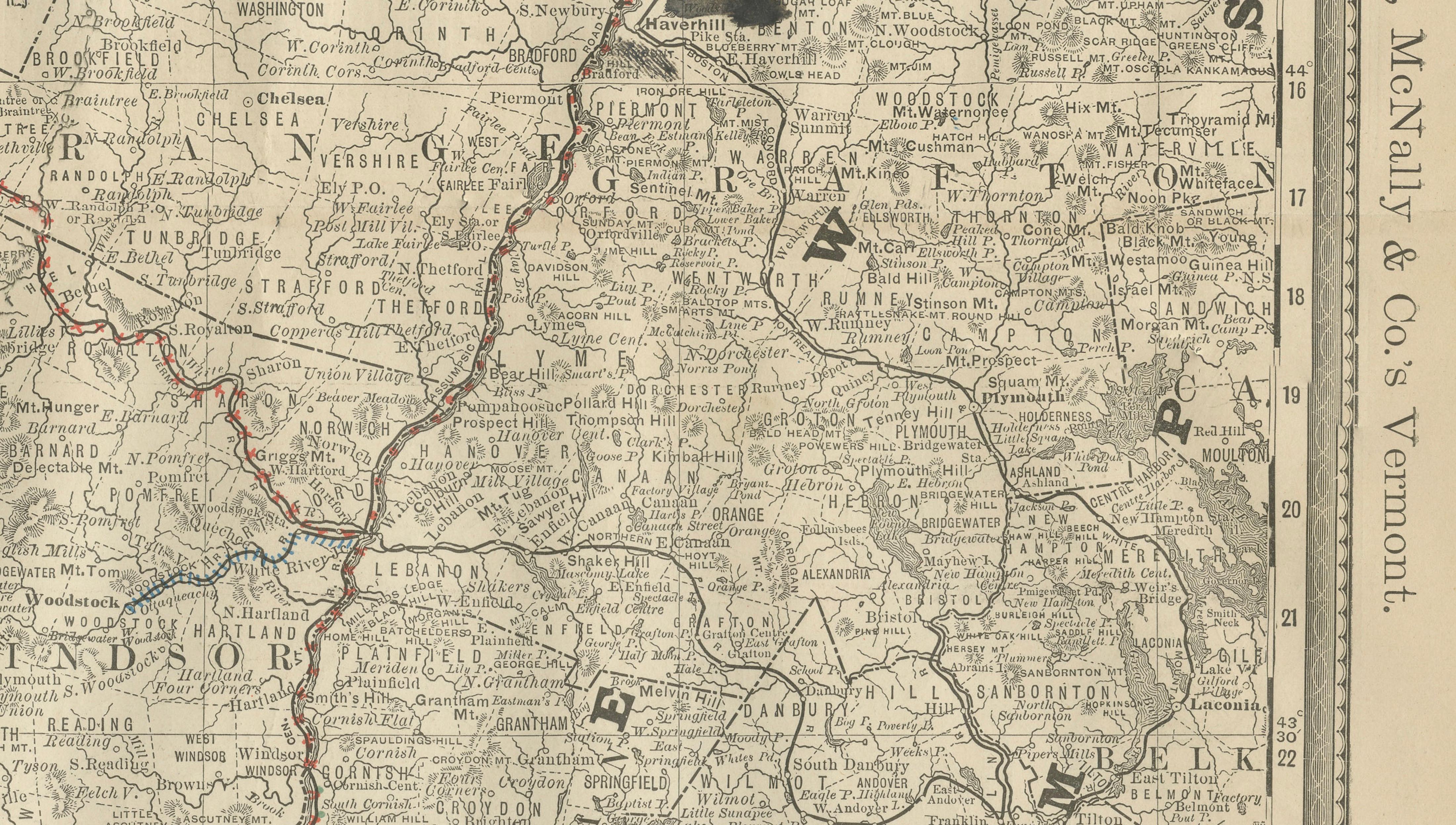
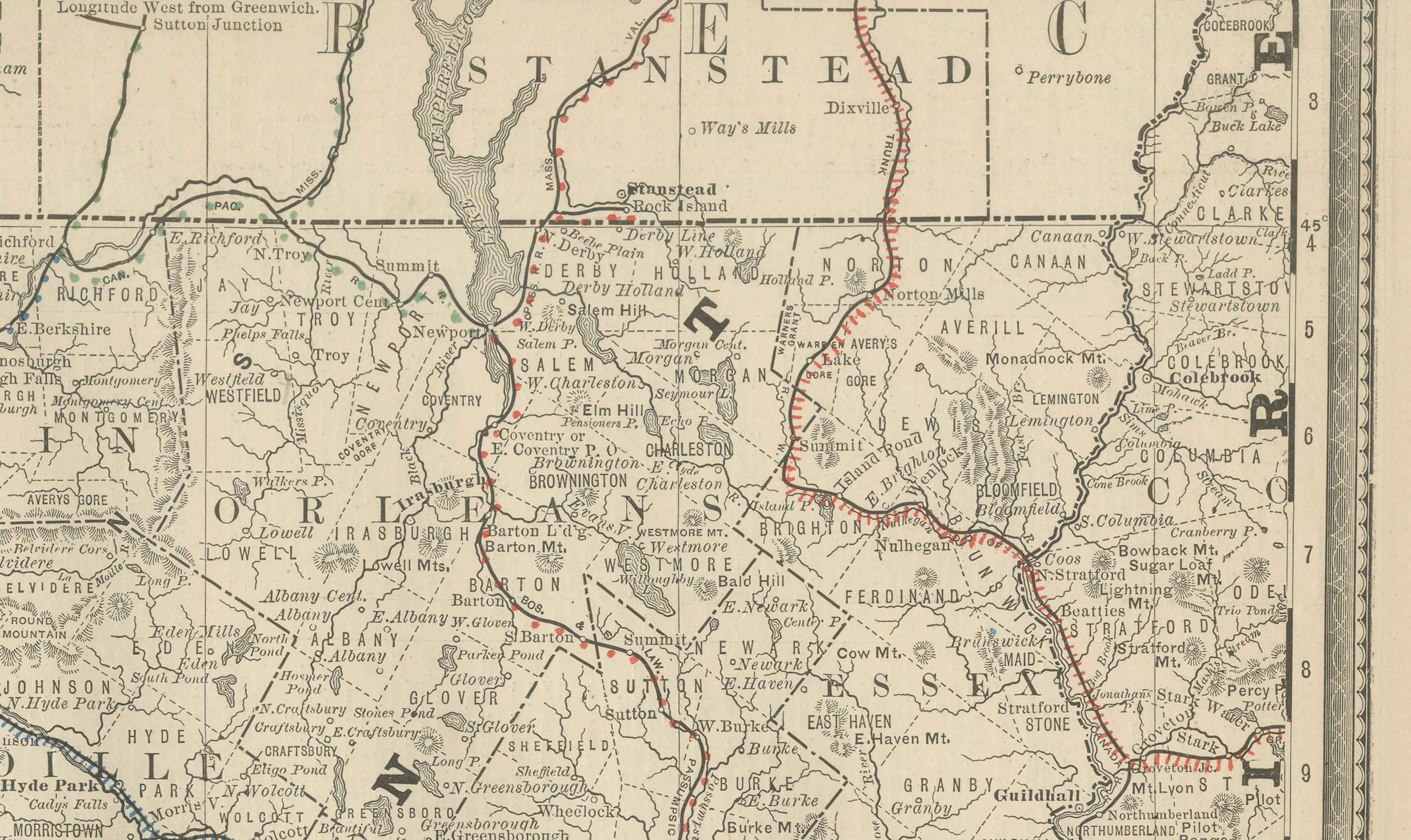
This original antique atlas map presents the state of Vermont in fine late-19th-century detail, showing its mountainous terrain, river systems, towns, and expanding railroad network. The map captures Vermont at a moment when railways stitched together rural communities, market towns, and border crossings with New Hampshire, Massachusetts, New York, and Canada. Extra: Map of Boston on the reverse.
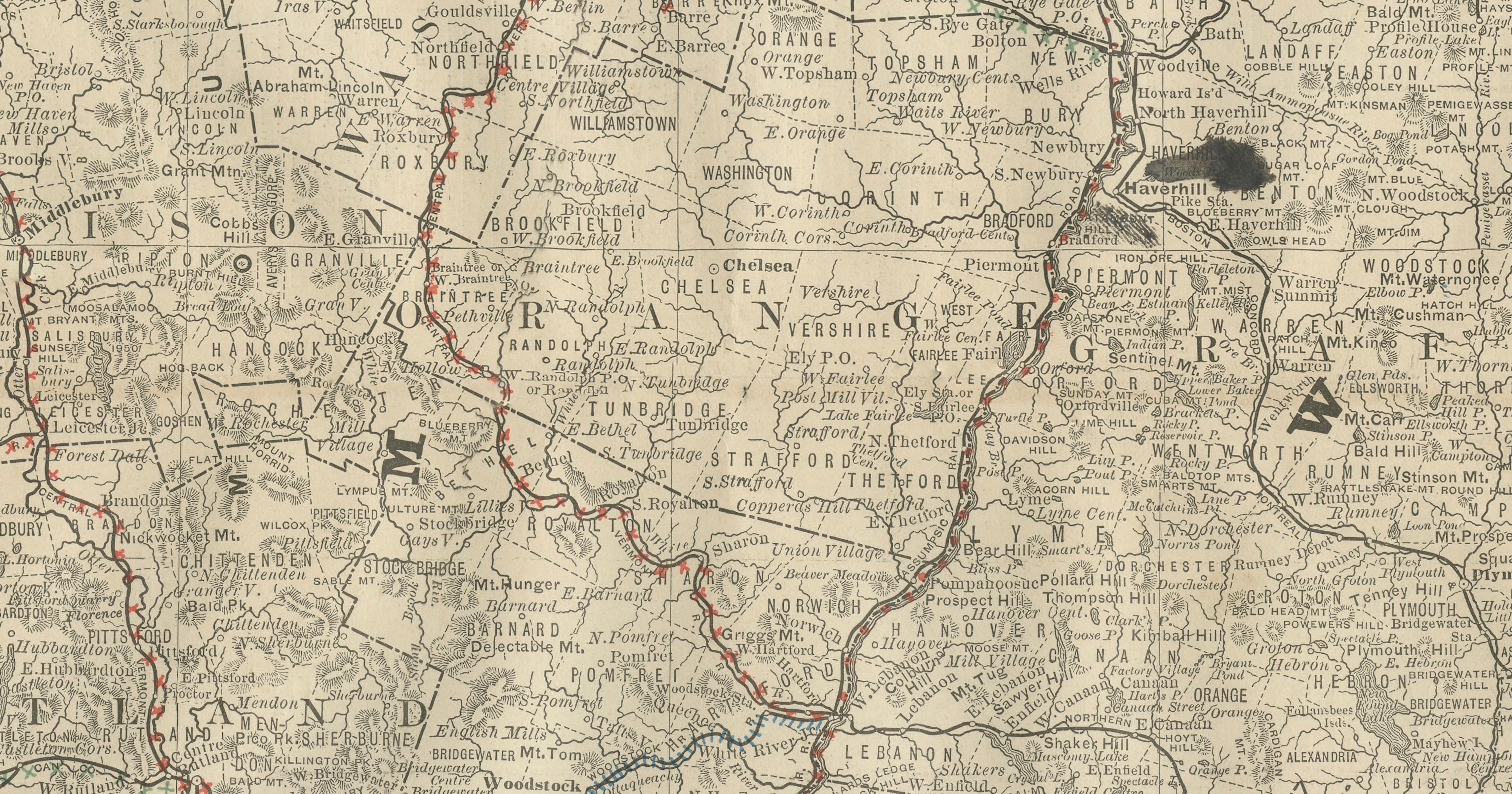
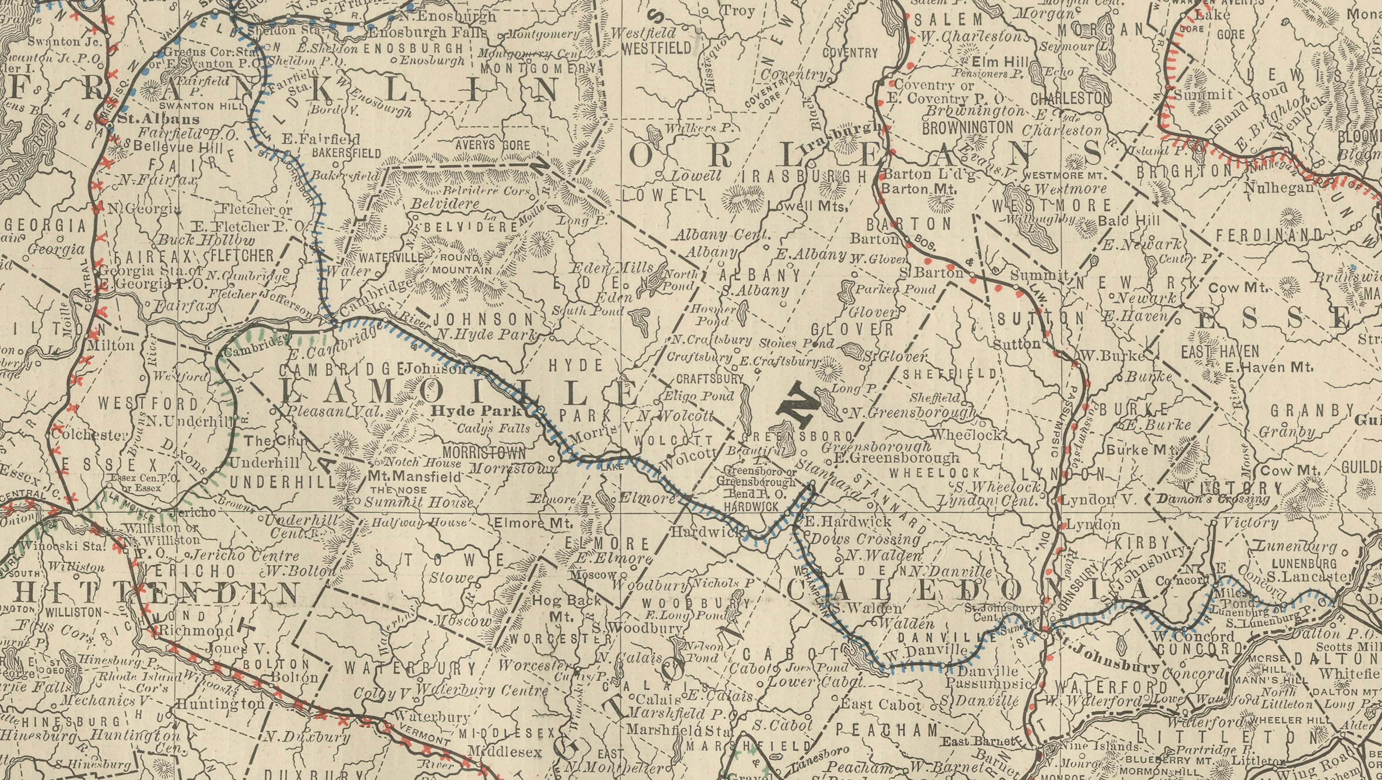
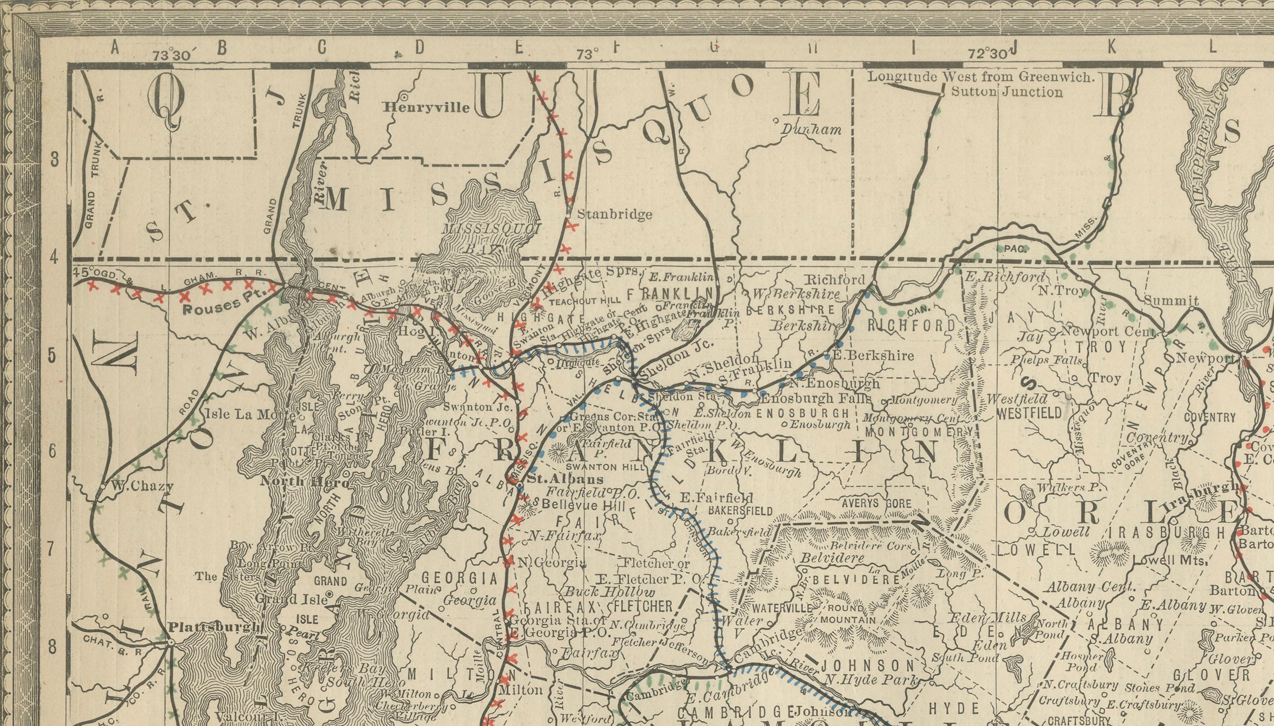
Published by Rand, McNally & Co., the map features clear county boundaries, dense place-name labeling, and delicately engraved relief that conveys the Green Mountains running north to south through the state. Towns such as Burlington, Montpelier, Rutland, Brattleboro, St. Albans, Barre, Bennington, and Windsor are all clearly identified, along with Lake Champlain forming the dramatic western boundary.
The restrained color accents highlighting rail lines and borders contrast beautifully with the finely printed black engraving, creating a balanced composition that reads both as a historical document and as decorative wall art. Its tall vertical format makes it especially well suited for narrow wall spaces, studies, stairwells, or library interiors.
Printed on original period atlas paper, the sheet retains its authentic texture and gentle patina, offering the visual depth and character that collectors seek in genuine antique maps.
Condition report: Light overall toning consistent with age. Minor edge wear and small handling marks from original atlas binding. One inkt spot and folding line as issued. Overall clean and well preserved.
Framing tips: Works beautifully in a natural oak, walnut, or black frame with an off-white or soft grey mat. Museum glass recommended for clarity and protection.
Technique: Color lithograph
Maker: Rand, McNally & Co., United States, late 19th century
Keywords:
antique vermont map, vermont wall art, rand mcnally map, green mountains map, lake champlain map, burlington map, montpelier map, rutland map, brattleboro map, railroad map vermont, antique atlas map, new england wall decor