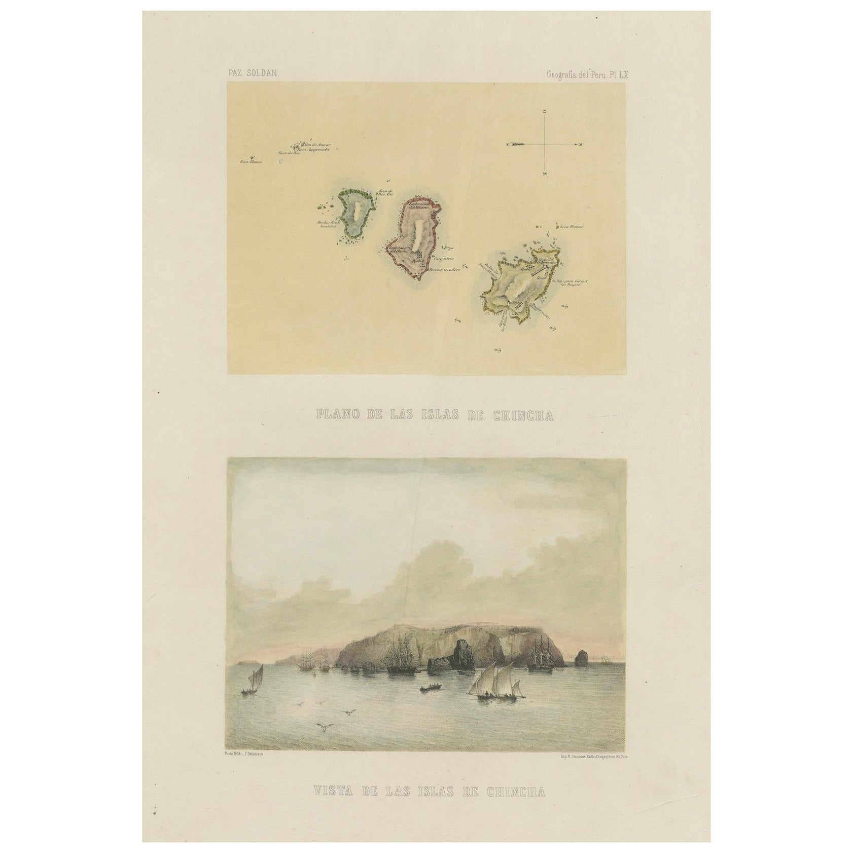
Hand-colored lithograph map and view of the Chincha Islands, Peru – 1865
€ 540
Original antique · The actual sheet photographed · Certificate of authenticity on request · Sold unframed · Worldwide shipping from € 15 (rates)
Date
1865
Sheet size
50.9 × 34 cm (20.0 × 13.4 in)
Condition
Good
Reference
BG-14032-20
What the condition grades mean
Excellent
Bright and clean, with no faults worth mentioning.
Very good
Only light signs of age, such as faint toning.
Good
Normal signs of age for a sheet of this period: toning, some foxing, small marks or neat old repairs.
Fair
Clear faults such as staining, tears or repairs, priced to match.
Every fault we see is written in the condition note, and the whole sheet is shown uncropped in the photos.
Condition
Good condition. Original hand-coloring well preserved and fresh. Vertical flattened crease visible. Light foxing in the margins, typical for 19th-century paper, not affecting the images. Wide margins intact with plate mark visible.
About this sheet
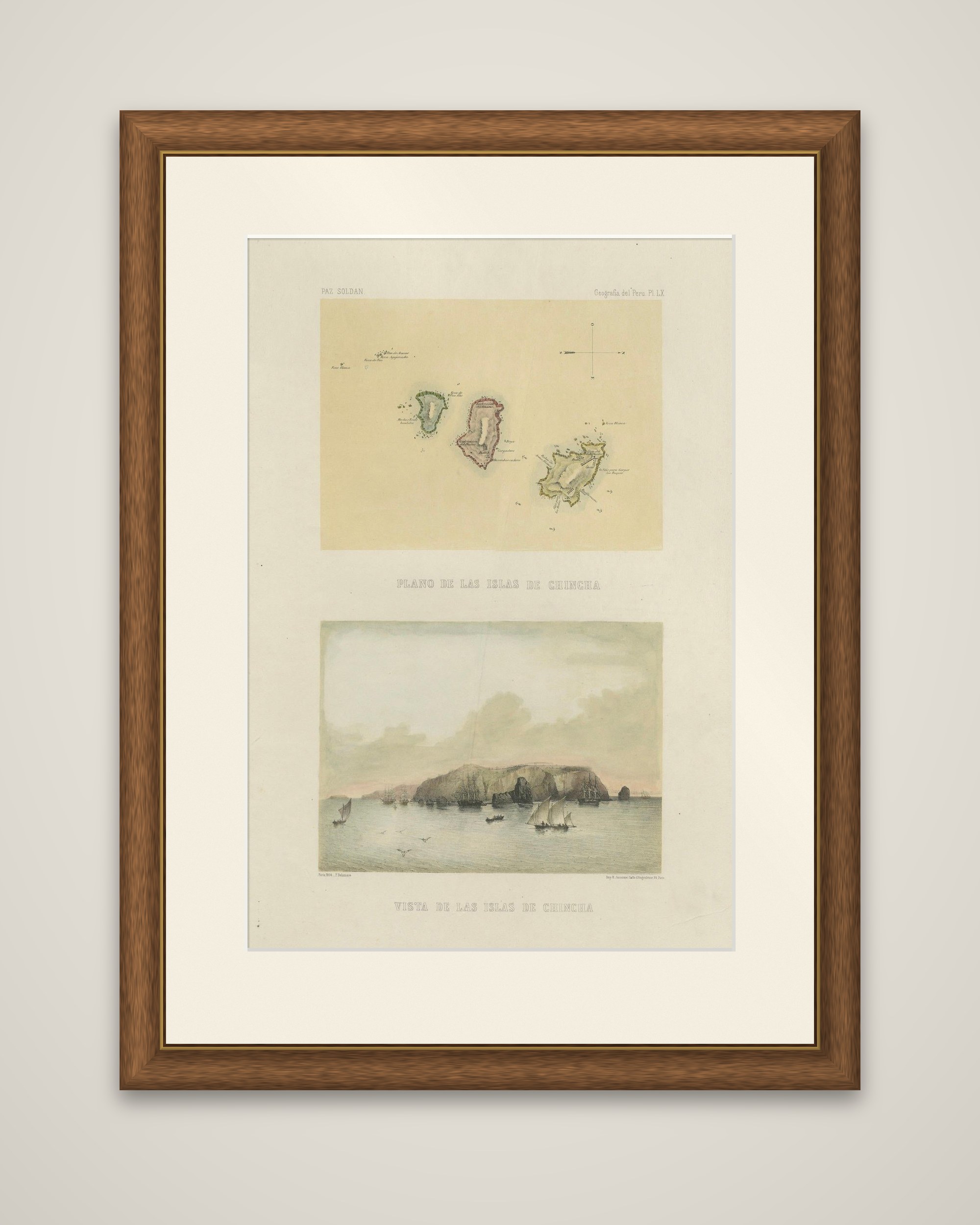
Plan and view of the Chincha Islands off the southern coast of Peru, original lithographs with hand coloring on one sheet from Mariano Felipe Paz Soldán's Atlas Geográfico del Perú, published in Paris in 1865. The upper image is lettered "Plano de las Islas de Chincha" and the lower "Vista de las Islas de Chincha".
In the plan, each of the three principal islands is outlined in a different wash, green, rose and yellow, on a pale yellow ground, with small lettered notes and a compass mark. The view below shows the long rocky mass of the islands rising from calm water under a soft pink and gray sky, with sailing vessels and small boats drawn up around its base.
The Chincha Islands were famous for their guano deposits, which made fertilizer exports a pillar of the Peruvian economy in the mid-19th century. Most copies of Paz Soldán's atlas were issued in plain tint, so a sheet with applied color is less often seen. The atlas, printed in Paris by Lemercier, was the first comprehensive national atlas of Peru, combining maps, plans and views of its cities, ports and landscapes.