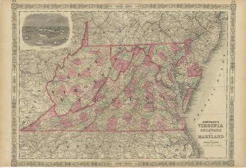
Delaware and Maryland Map – Johnson, Hand-Colored with Insets, 1864
€ 270
Original antique · The actual sheet photographed · Certificate of authenticity on request · Sold unframed · Worldwide shipping from € 15 (rates)
Date
1864
Sheet size
35.7 × 45.7 cm (14.1 × 18.0 in)
Condition
Fair
Reference
BG-13952-36
What the condition grades mean
Excellent
Bright and clean, with no faults worth mentioning.
Very good
Only light signs of age, such as faint toning.
Good
Normal signs of age for a sheet of this period: toning, some foxing, small marks or neat old repairs.
Fair
Clear faults such as staining, tears or repairs, priced to match.
Every fault we see is written in the condition note, and the whole sheet is shown uncropped in the photos.
Condition
Fair to good condition. Strong impression with bright original hand coloring. Light age toning with a few small spots or handling marks in margins, typical for antique atlas maps. The edges brittle with small tears, but no damage to the image.
About this sheet
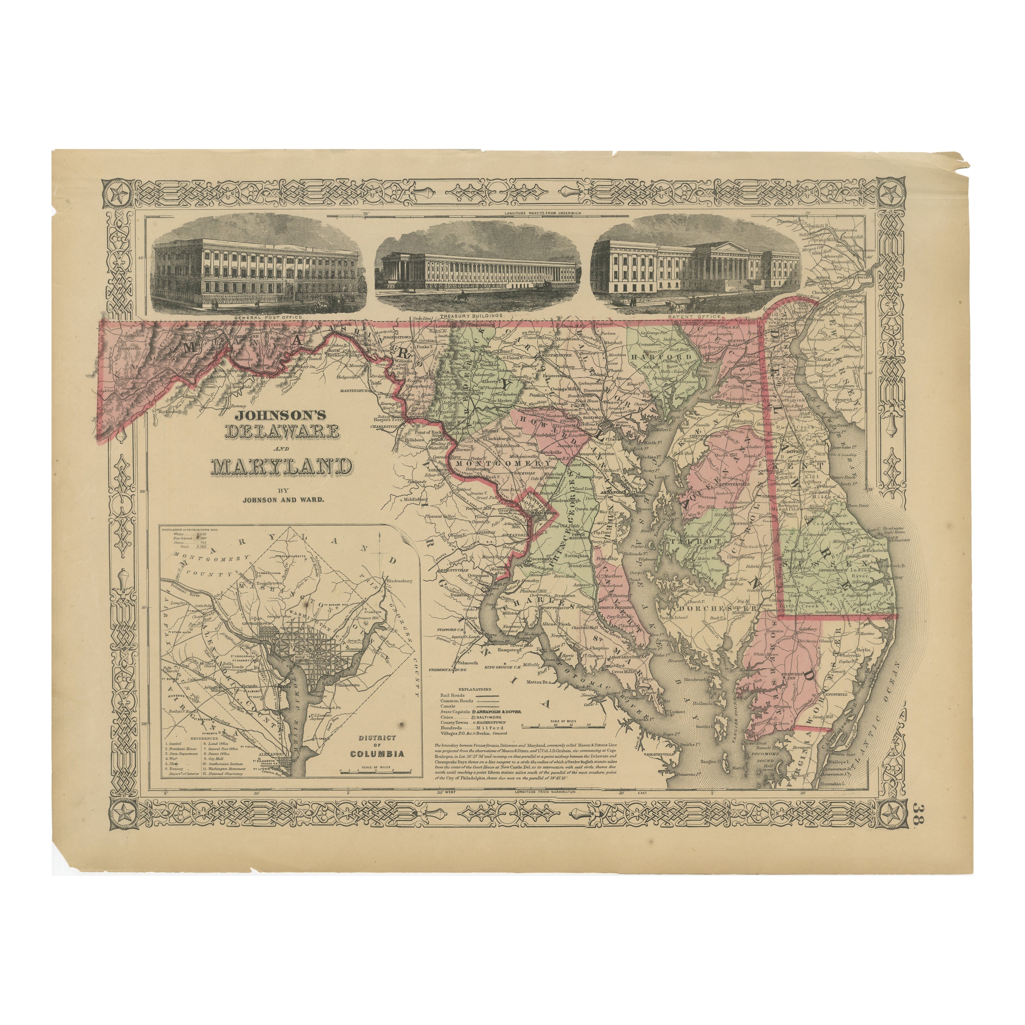
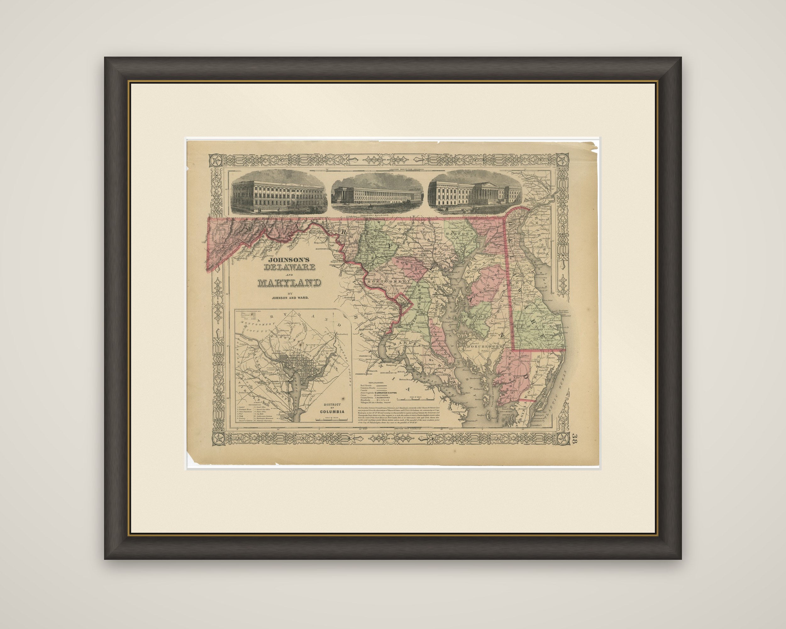
Delaware, Maryland and the District of Columbia, "Johnson's Delaware and Maryland by Johnson and Ward," a hand-colored steel-engraved map published in New York around 1864. The title is lettered at the left of the sheet within the publisher's ornamental border.
The two states are drawn with their counties tinted in pink, green and yellow, from the Allegheny ranges in the far west of Maryland across the Chesapeake Bay to the Delmarva peninsula, and Delaware is outlined at the right. Rivers, roads, railroads and towns are lettered throughout, and the Potomac is traced along the southern boundary of Maryland. Across the top, three engraved views of Washington buildings sit above the map: the Patent Office, the Treasury Building and the General Post Office. A large inset at the lower left, "District of Columbia," gives a plan of the city of Washington with its streets and a key to its public buildings.
The Washington buildings were prominent landmarks of the Union capital at the date of the map, and the plan of the city fills the space in the lower left that the geography of the two states leaves empty.