About this sheet
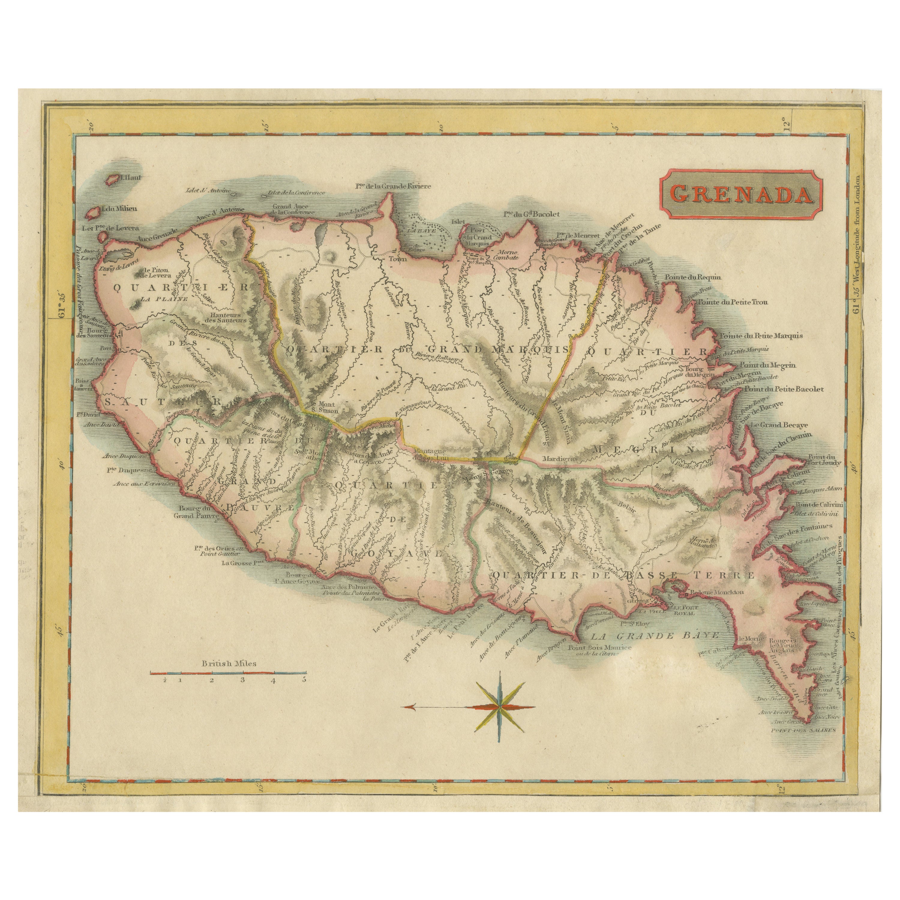
John Thomson's original antique map of Grenada, dating back to 1810 and hailing from Edinburgh, stands as a testament to meticulous cartography. This historical piece, adorned with original outline coloring, embodies a significant contribution to the category of Maps West Indies Whole.
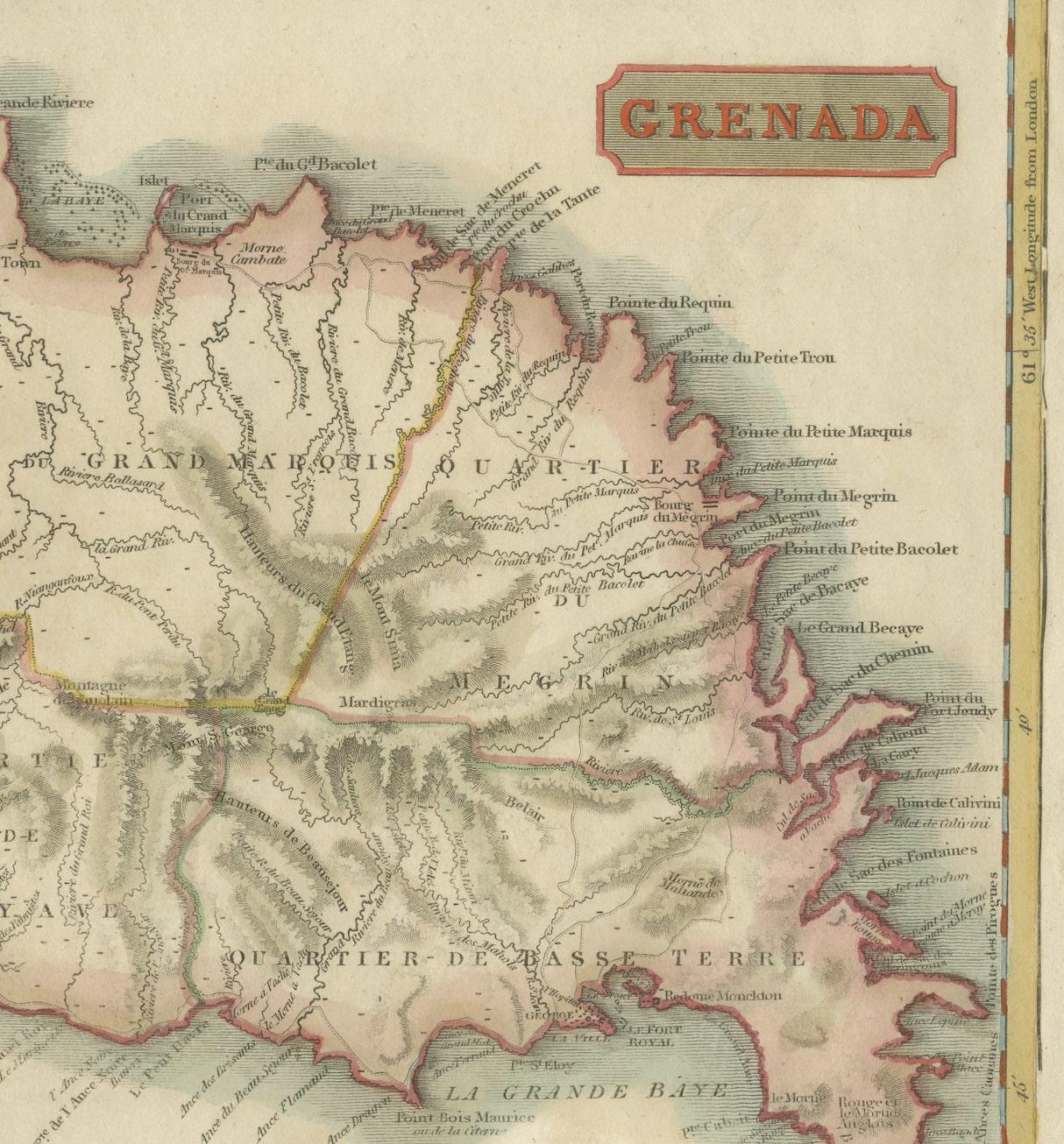
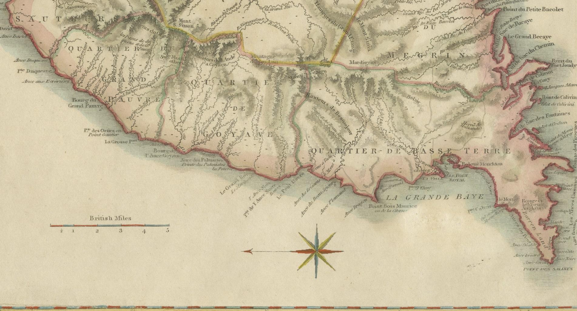
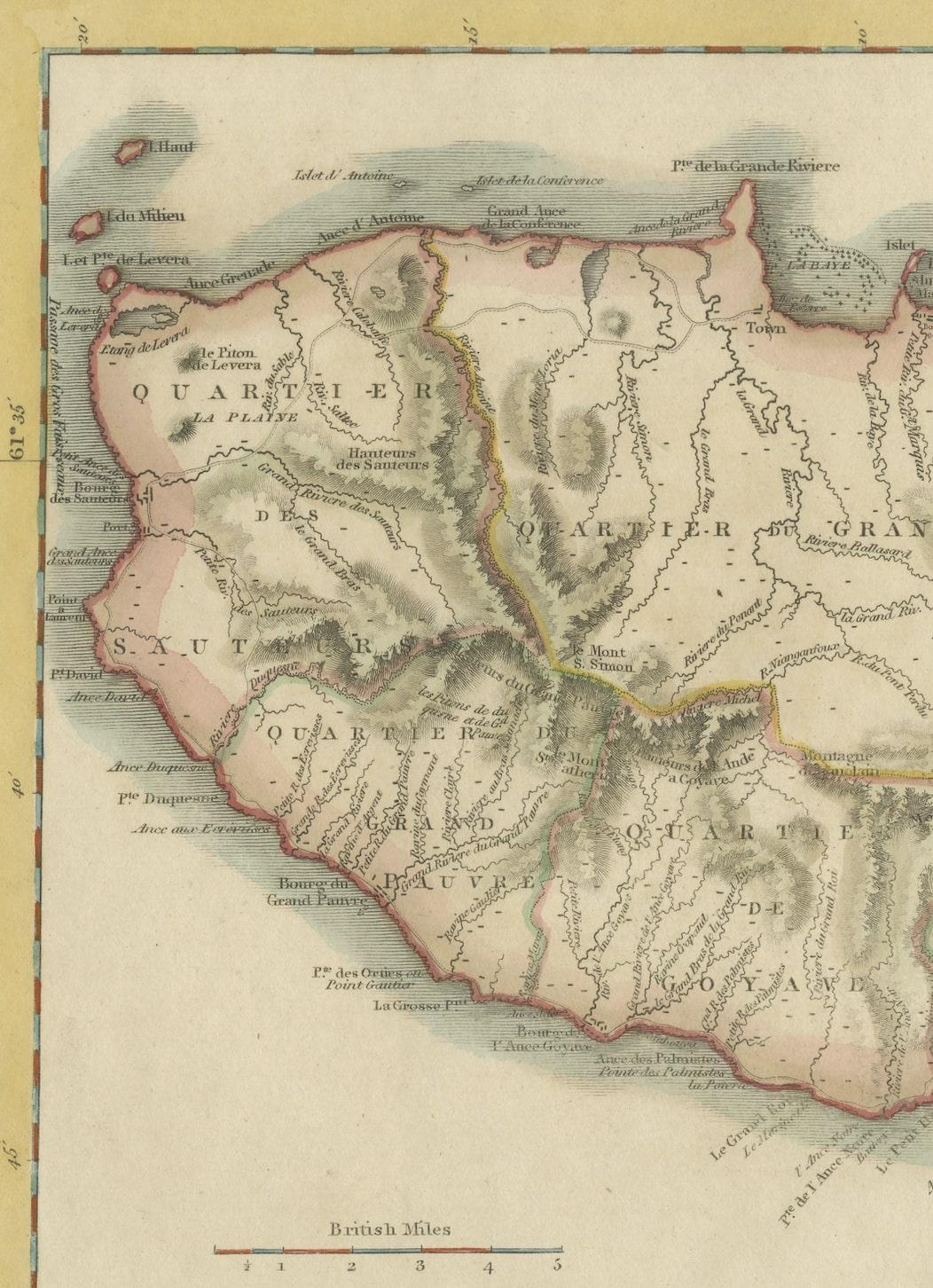
Crafted with precision, the map delineates the intricate details of Grenada, capturing the essence of the island during that period. Thomson's expertise shines through in the map's accuracy, presenting geographical features, coastal boundaries, and settlements with meticulous attention.
The use of original outline coloring enriches the map, enhancing the visual appeal while distinguishing various elements across the island. As a part of the broader category of Maps West Indies Whole, this particular map embodies a comprehensive depiction of Grenada within the context of the West Indies.
Thomson's cartographic mastery, evident in this 1810 rendition, reflects an era of exploration and geographical understanding. This antique map of Grenada, originating from Edinburgh, remains a valuable historical artifact, offering insights into the geography and cartographic techniques prevalent during the early 19th century in the West Indies.
Grenada's history weaves a tapestry of indigenous roots, European colonization, and struggles for independence. Initially inhabited by the Kalinago people, European exploration in the late 15th century led to Spanish colonization in the early 16th century. However, ongoing conflicts between European powers resulted in the French seizing control in 1650, establishing sugar plantations and importing enslaved Africans.
The island's strategic importance led to a tug-of-war between the French and British. Grenada changed hands multiple times throughout the 18th century, finally becoming a British colony in 1783 under the Treaty of Versailles. The impact of slavery and the plantation economy shaped Grenada's society and economy.
In 1974, Grenada gained independence from Britain, entering a period of political turbulence. The 1979 revolution led by Maurice Bishop brought hopes for change but was marred by internal strife. In 1983, a power struggle culminated in a U.S.-led military intervention.
Today, Grenada thrives as an independent nation in the Caribbean, known for its stunning landscapes, vibrant culture, and nutmeg production. Its history reflects a complex interplay of indigenous heritage, colonial influences, struggles for self-determination, and efforts to forge a modern identity amid diverse challenges.