About this sheet
Antique Map of Colorado – Railroads, Mining Towns & Counties, 1888
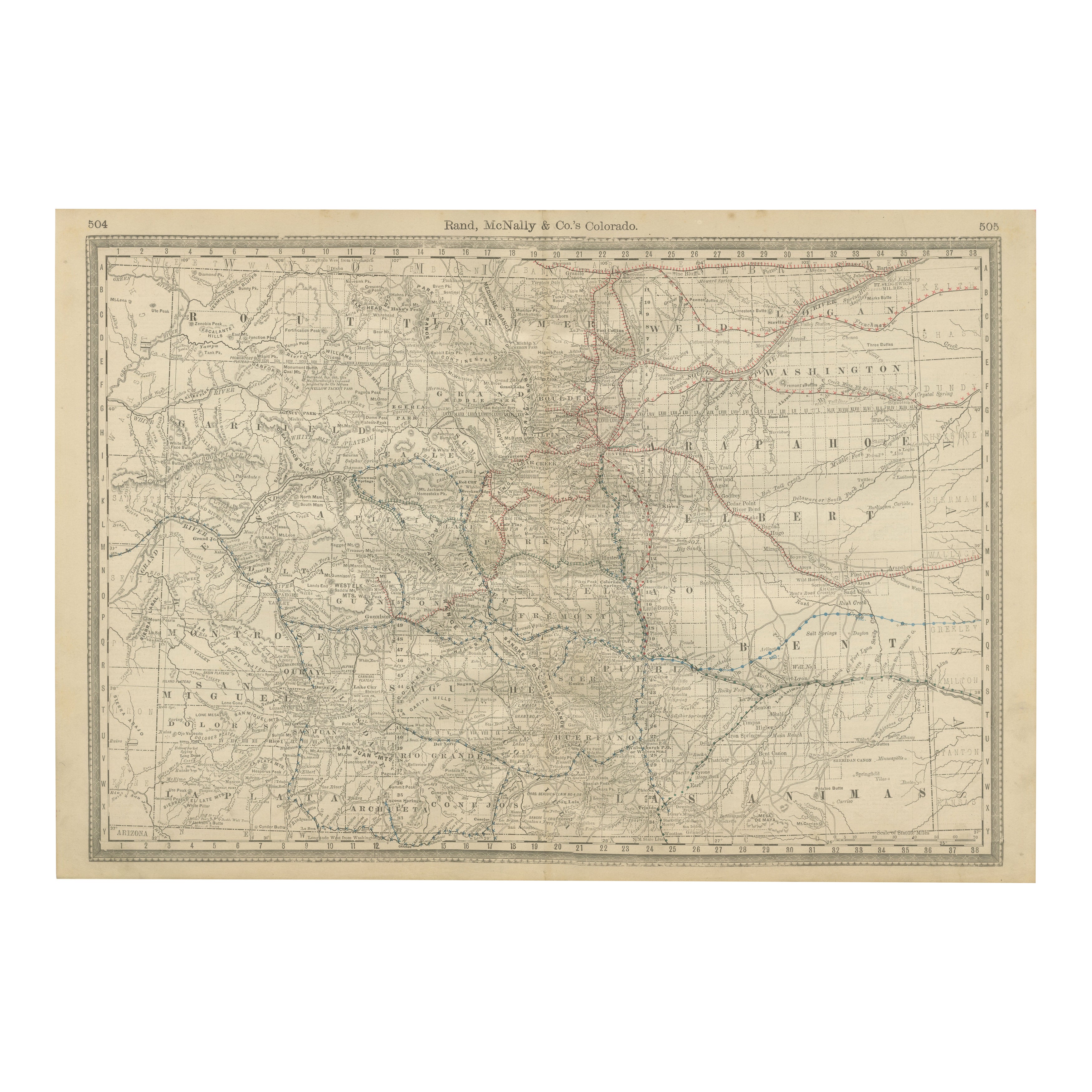
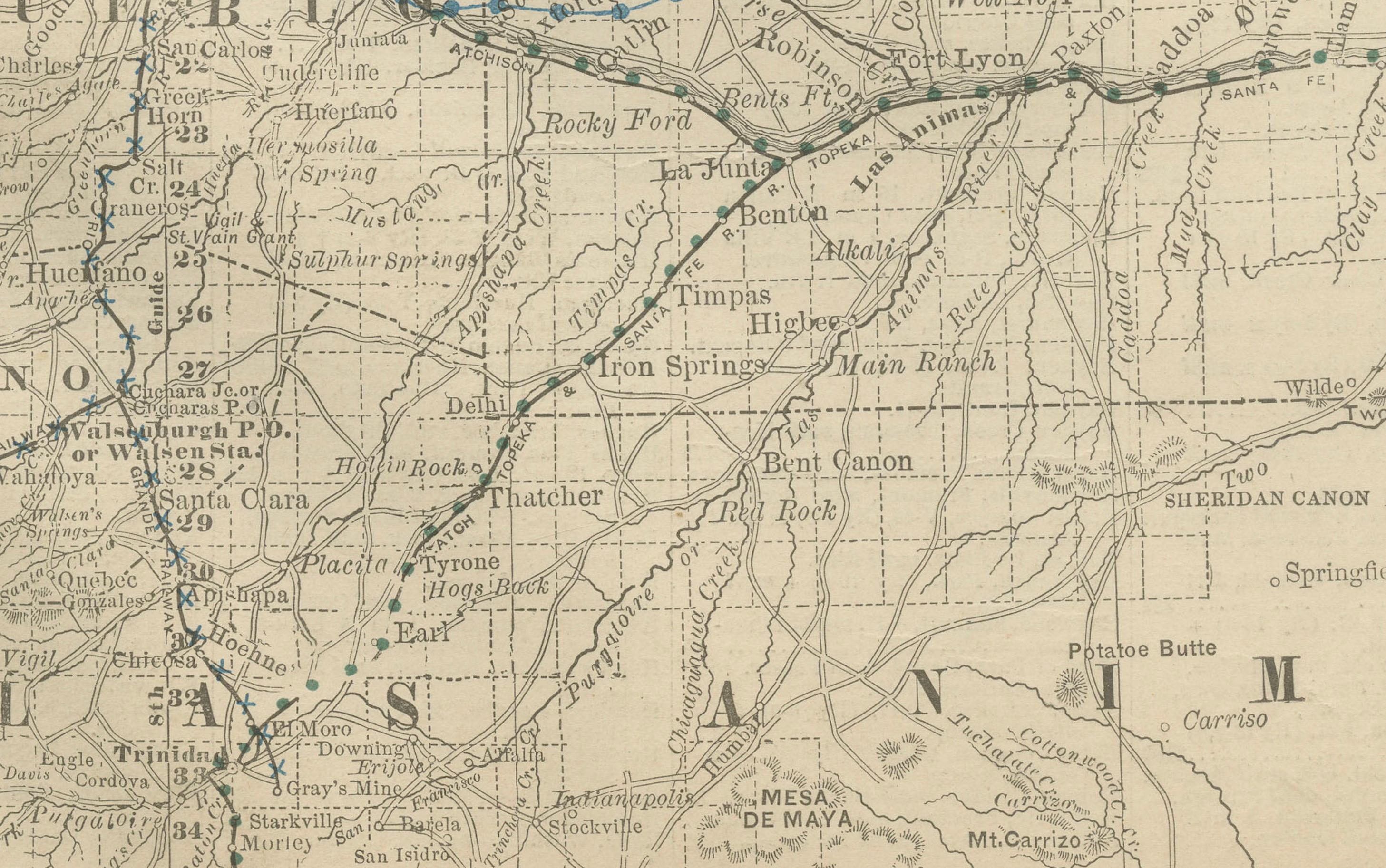
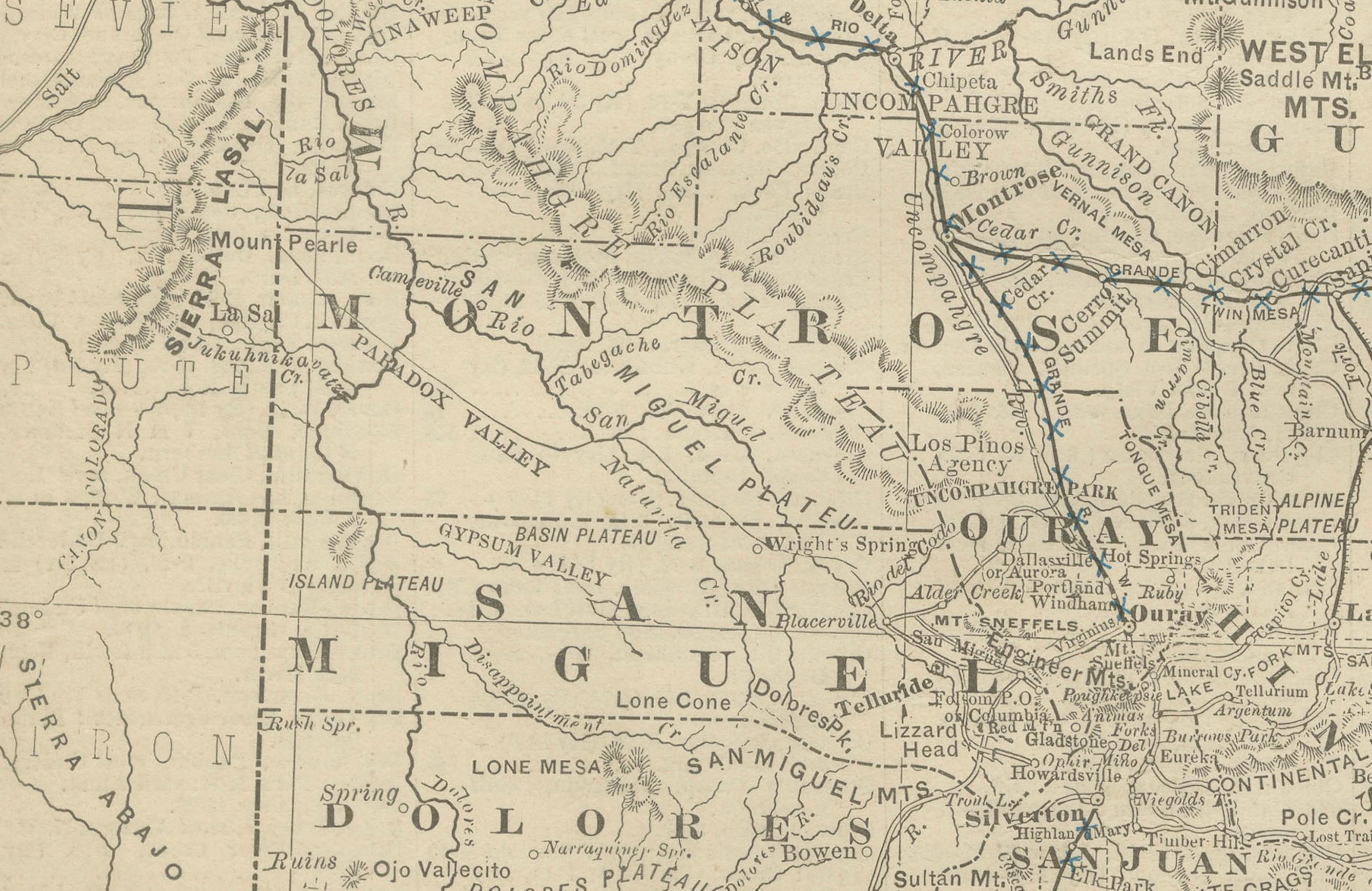
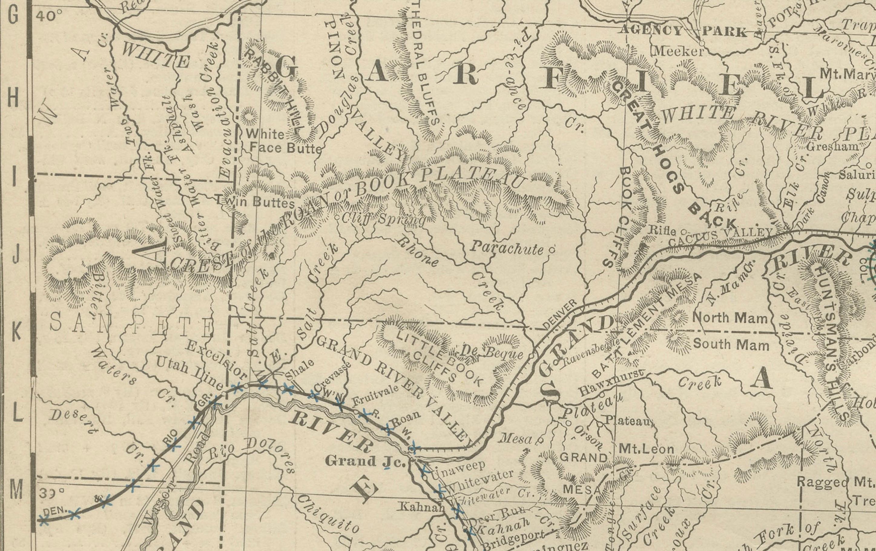
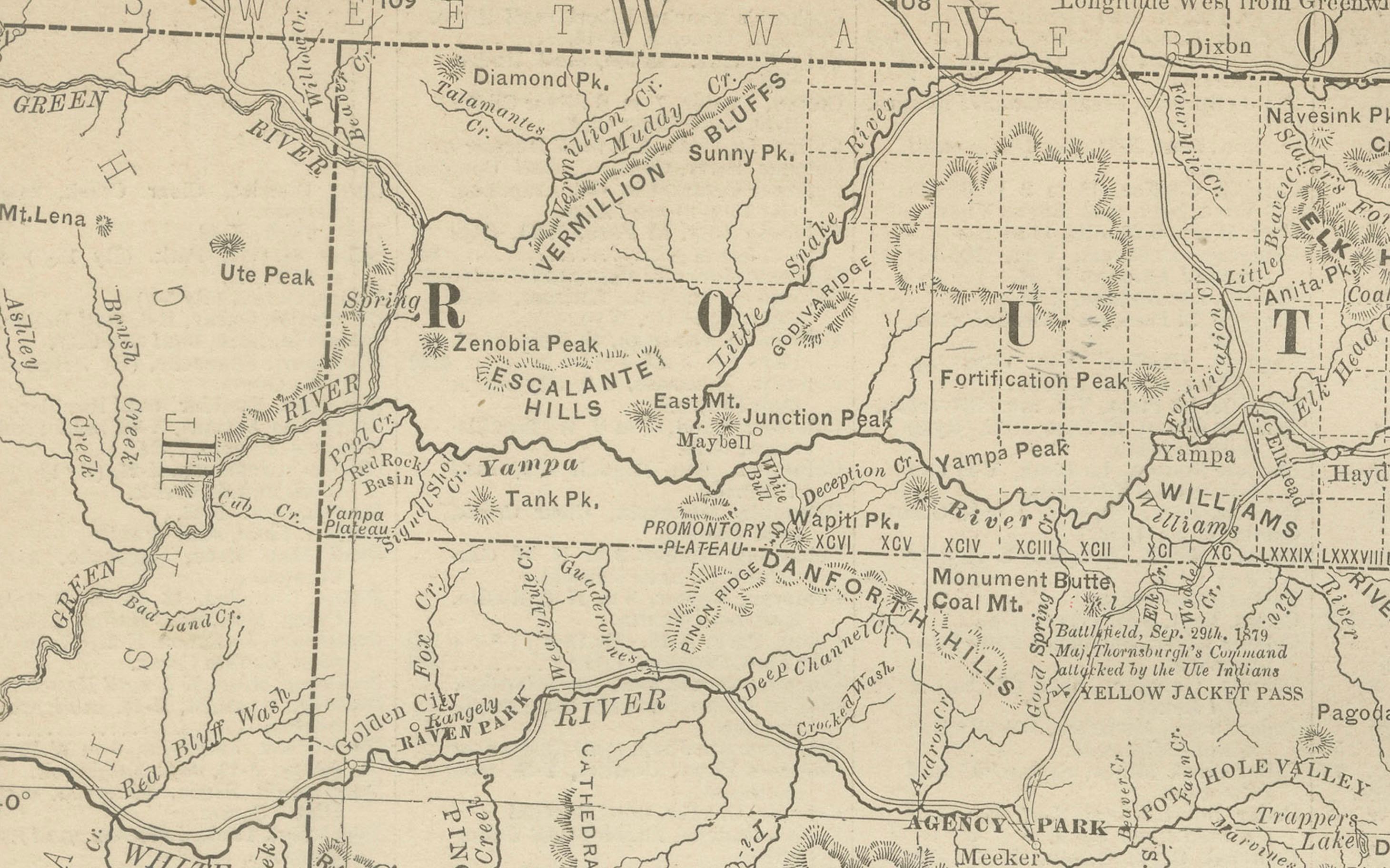
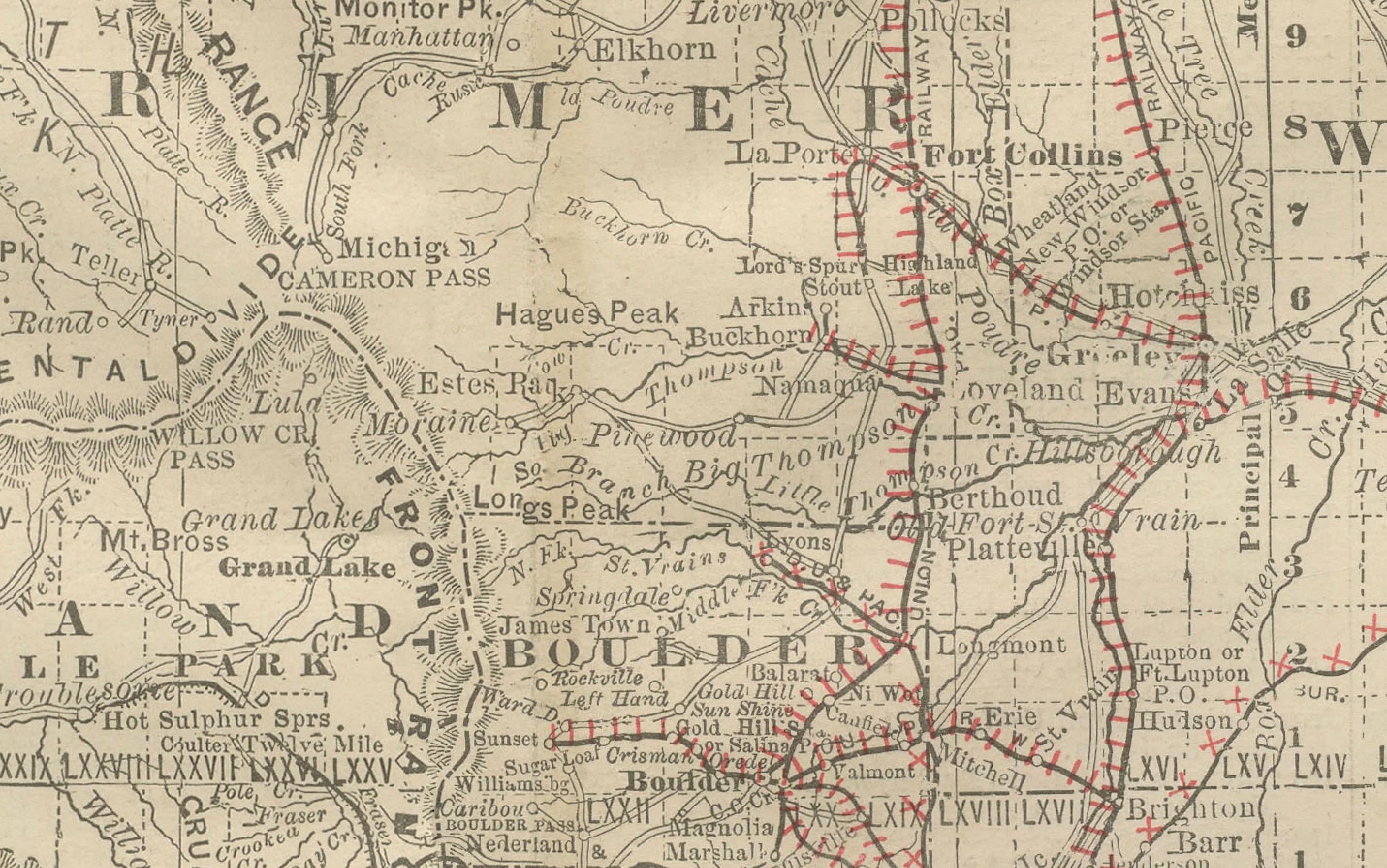
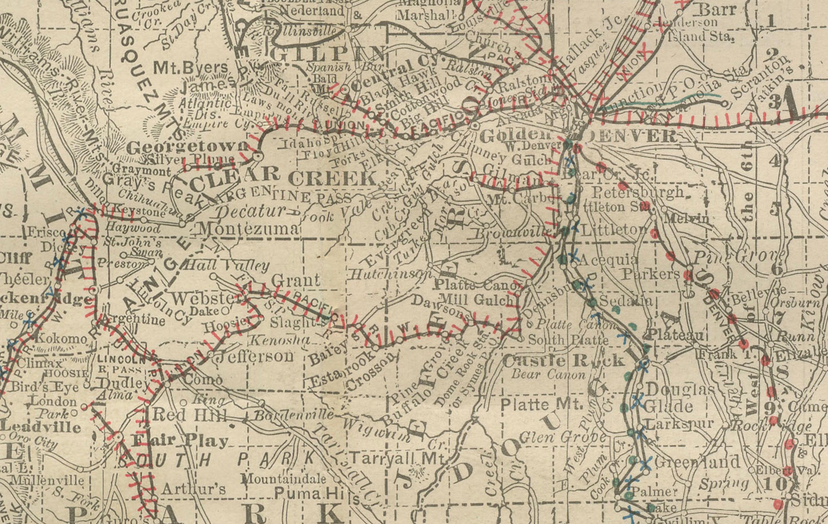
This antique engraved map depicts the state of Colorado in 1888, published by Rand, McNally & Co. in Chicago for their Improved Indexed Business Atlas and Shippers Guide. It captures Colorado during a formative period, just over a decade after achieving statehood in 1876, when railroads and mining shaped its growth and identity.
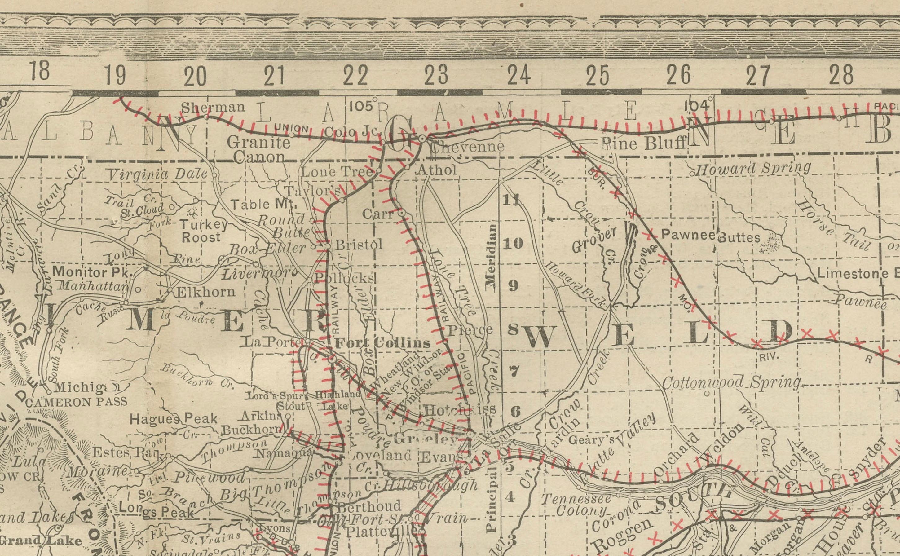
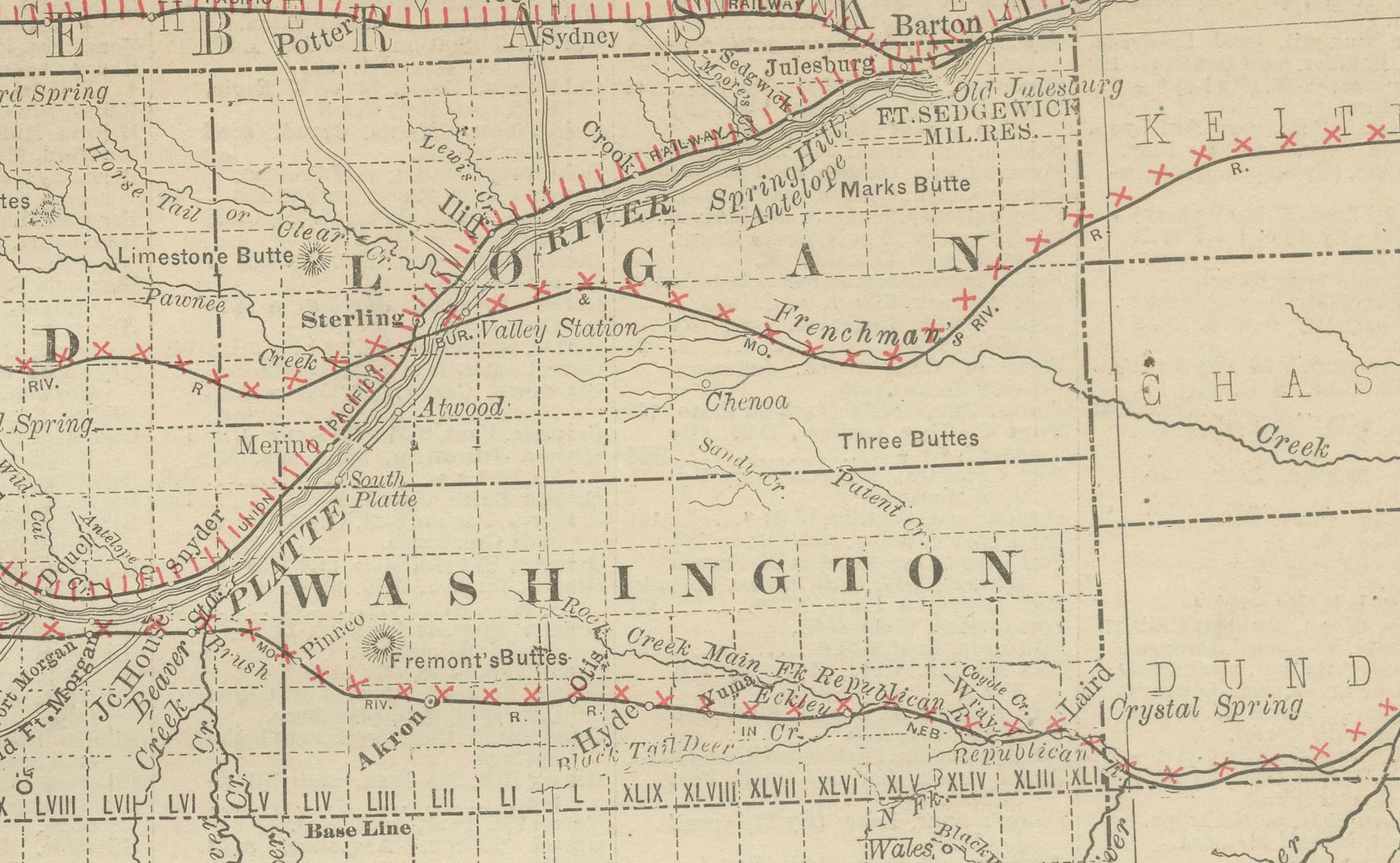
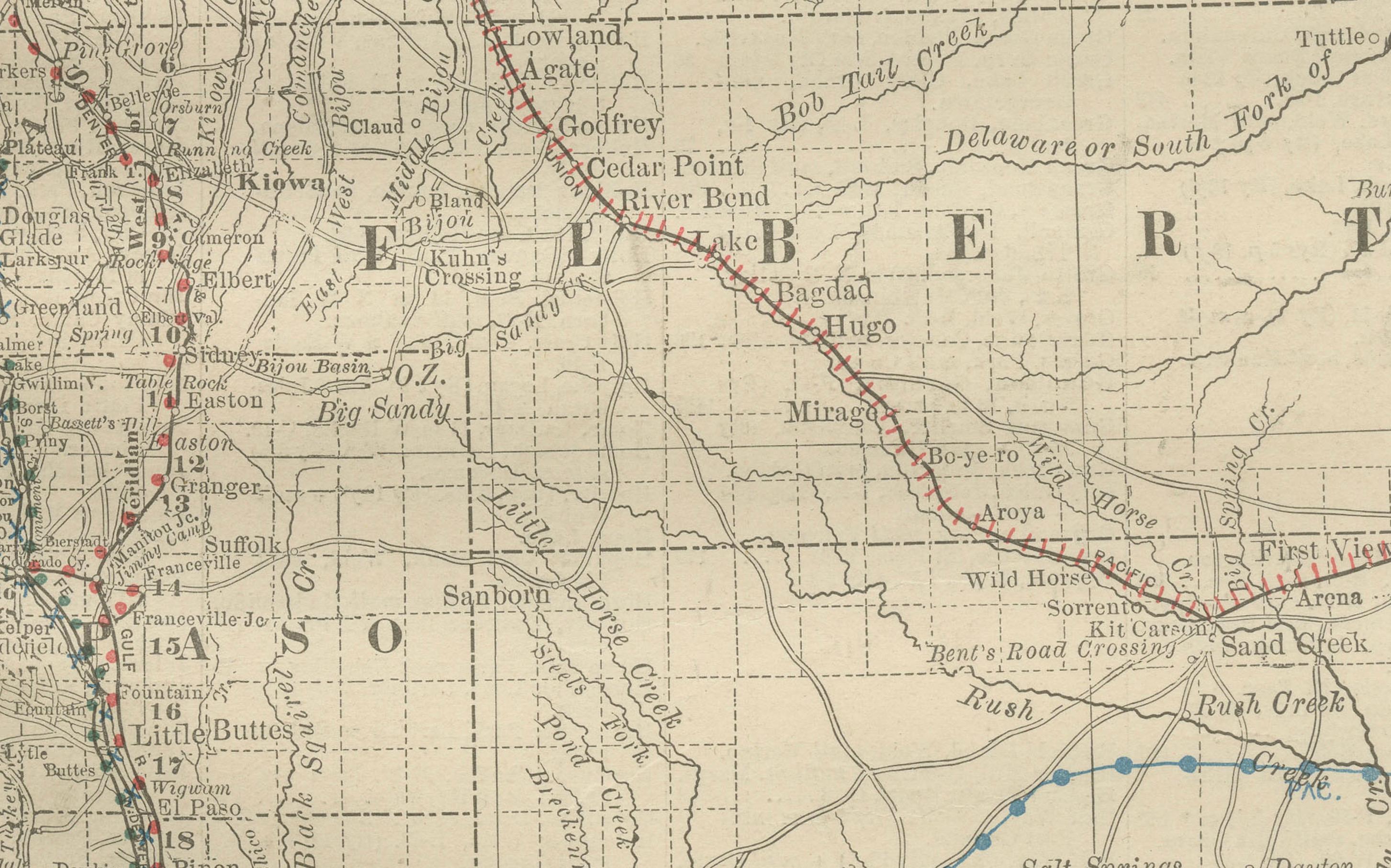
The map highlights Colorado’s extensive railroad system, engraved in red and blue, reflecting the central role of rail transport in the state’s economy. Lines radiate outward from Denver, already established as the state capital and commercial hub, linking to major cities such as Pueblo, Colorado Springs, and Leadville, as well as smaller mining towns in the Rocky Mountains. The Denver & Rio Grande, Atchison, Topeka & Santa Fe, and Union Pacific systems are all represented, demonstrating the state’s integration into national transport and trade networks.
Counties are clearly defined, including Arapahoe, Jefferson, El Paso, Weld, Boulder, Fremont, and Gunnison, alongside the rugged mountain counties such as Lake, Pitkin, San Juan, and San Miguel, where mining booms brought waves of settlement. Mining towns such as Leadville, Silverton, Ouray, and Aspen are labeled, places which became legendary for their silver and gold production during the Colorado Silver Boom of the 1880s. Agricultural and ranching regions on the eastern plains are also shown, contrasting with the mountainous west.
The geography of Colorado is depicted with remarkable clarity, showing the Continental Divide, the Front Range, and river systems such as the Arkansas, Platte, and Rio Grande. These natural features not only shaped settlement patterns but also defined the challenges of building railroads through some of the most difficult terrain in North America.
The historical context makes this map particularly significant. In 1888, Colorado was experiencing rapid growth fueled by mining wealth, railroad expansion, and migration. Denver was becoming a major metropolitan center, while the mountain towns were at the height of their mining prosperity. This map provides a snapshot of that era, when Colorado balanced frontier ruggedness with economic ambition.
Condition summary: Very good condition overall, with mild toning consistent with age. Some faint foxing and handling marks in the margins. Original fold line as issued, paper strong with clear engraved detail. No significant tears or repairs.
Framing tips: A walnut or dark oak frame will highlight the antique qualities of the piece, while a black frame with ivory matting provides a sharp modern presentation. A double mat, ivory with a muted silver or grey accent, can emphasize Colorado’s mining heritage and mountainous terrain.
Technique: Engraving
Maker: Rand, McNally & Co., Chicago, 1888