Black Friday starts Friday 20 November: up to 30% off, plus free FedEx shipping on qualifying orders →
Orders placed from 15 to 30 November ship from 1 December, in time for Christmas. Our shipping partner: InXpress.
Maps & PrintsBartele Gallery · Langweer
Home / Antique Maps / America / South America

South America · 19th century

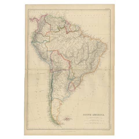
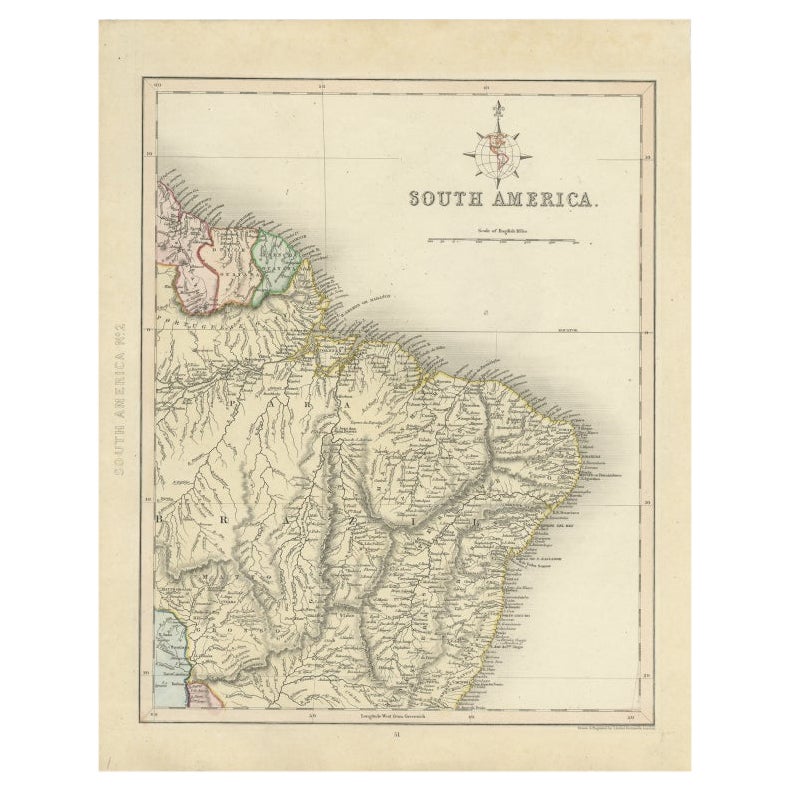
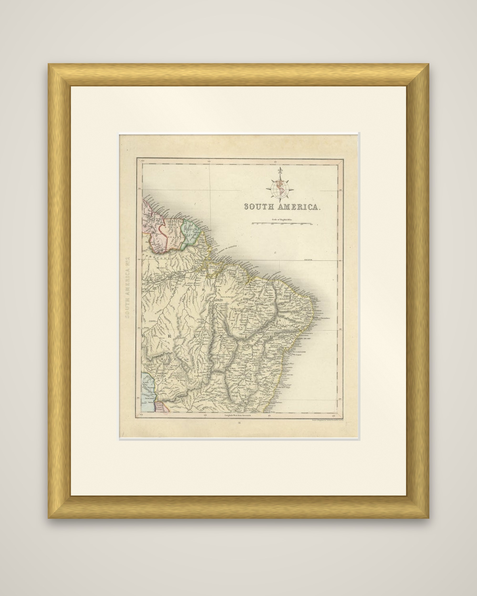
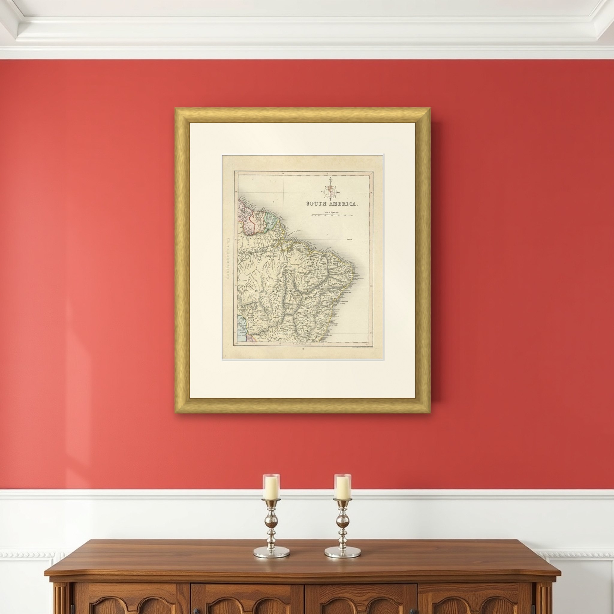
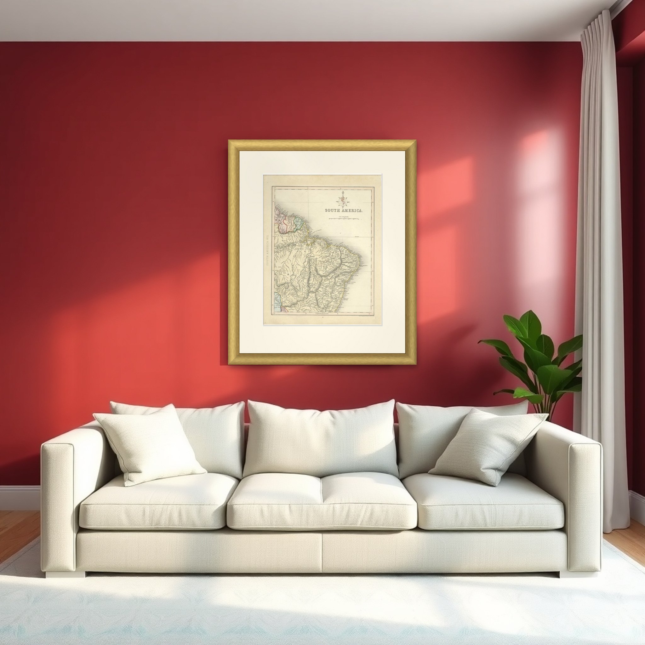
Antique Map of Part of South America by Archer, C.1860

€ 95

Original antique · The actual sheet photographed · Certificate of authenticity on request · Sold unframed · Worldwide shipping from € 15 (rates)

Date
1860
Sheet size
33 × 26 cm (13.0 × 10.2 in)
Condition
Good
Reference
BG-09465
What the condition grades mean
Excellent
Bright and clean, with no faults worth mentioning.
Very good
Only light signs of age, such as faint toning.
Good
Normal signs of age for a sheet of this period: toning, some foxing, small marks or neat old repairs.
Fair
Clear faults such as staining, tears or repairs, priced to match.

Every fault we see is written in the condition note, and the whole sheet is shown uncropped in the photos.
About this sheet

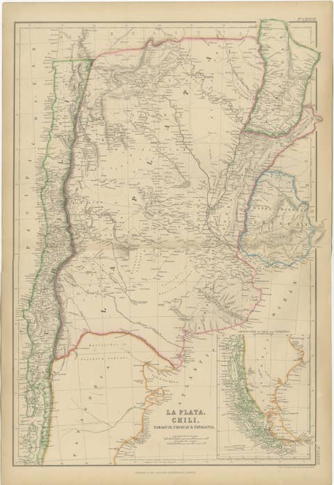
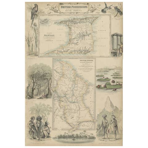
The northeast of South America in the mid-nineteenth century, titled "South America" and marked "South America No. 2" in the margin, an original steel engraving with hand outline color, drawn and engraved by J. Archer of London around 1860.

The sheet is one of a pair covering the continent and shows only the northeastern part: the Guianas at the upper left, tinted in pink, green and blue, the mouth of the Amazon and the province of Pará, and the long Atlantic coast of Brazil running down to the south. Brazil is drawn in pale yellow, and the interior is filled with rivers and place names, with the coast especially crowded. A compass rose with a fleur-de-lis points north near the top, and the title is set in plain capitals beside a scale of English miles. A narrow strip of western South America appears at the left edge.

The sheet is a good coastal and river map of the Brazilian northeast, with the interior still sparsely filled in.

More from South America

Ask about this sheet

Antique Map of Part of South America by Archer, C.1860
1860 · Ref. BG-09465 · € 95
We reply by email, usually within one working day.

Your favorites

Saved in this browser. Email the list to yourself to keep it on any device.

We use your email to send this list and, only if you tick the box and confirm, for occasional new arrivals. Every email has an unsubscribe link. Bartele Gallery, the Netherlands.

Powered by SiteKeys