Arkansas Map by Colton, USA Published c.1864 – Hand-Colored County Map
€ 330
Original antique · The actual sheet photographed · Certificate of authenticity on request · Sold unframed · Worldwide shipping from € 15 (rates)
Date
1864
Sheet size
35.7 × 45.7 cm (14.1 × 18.0 in)
Condition
Good
Reference
BG-13952-33
What the condition grades mean
Excellent
Bright and clean, with no faults worth mentioning.
Very good
Only light signs of age, such as faint toning.
Good
Normal signs of age for a sheet of this period: toning, some foxing, small marks or neat old repairs.
Fair
Clear faults such as staining, tears or repairs, priced to match.
Every fault we see is written in the condition note, and the whole sheet is shown uncropped in the photos.
Condition
Good condition. Strong impression with original hand coloring remaining bright. Light general age toning and minor marginal spots or handling marks typical for antique atlas maps. No tears or repairs visible. Wide margins and plate mark intact.
About this sheet
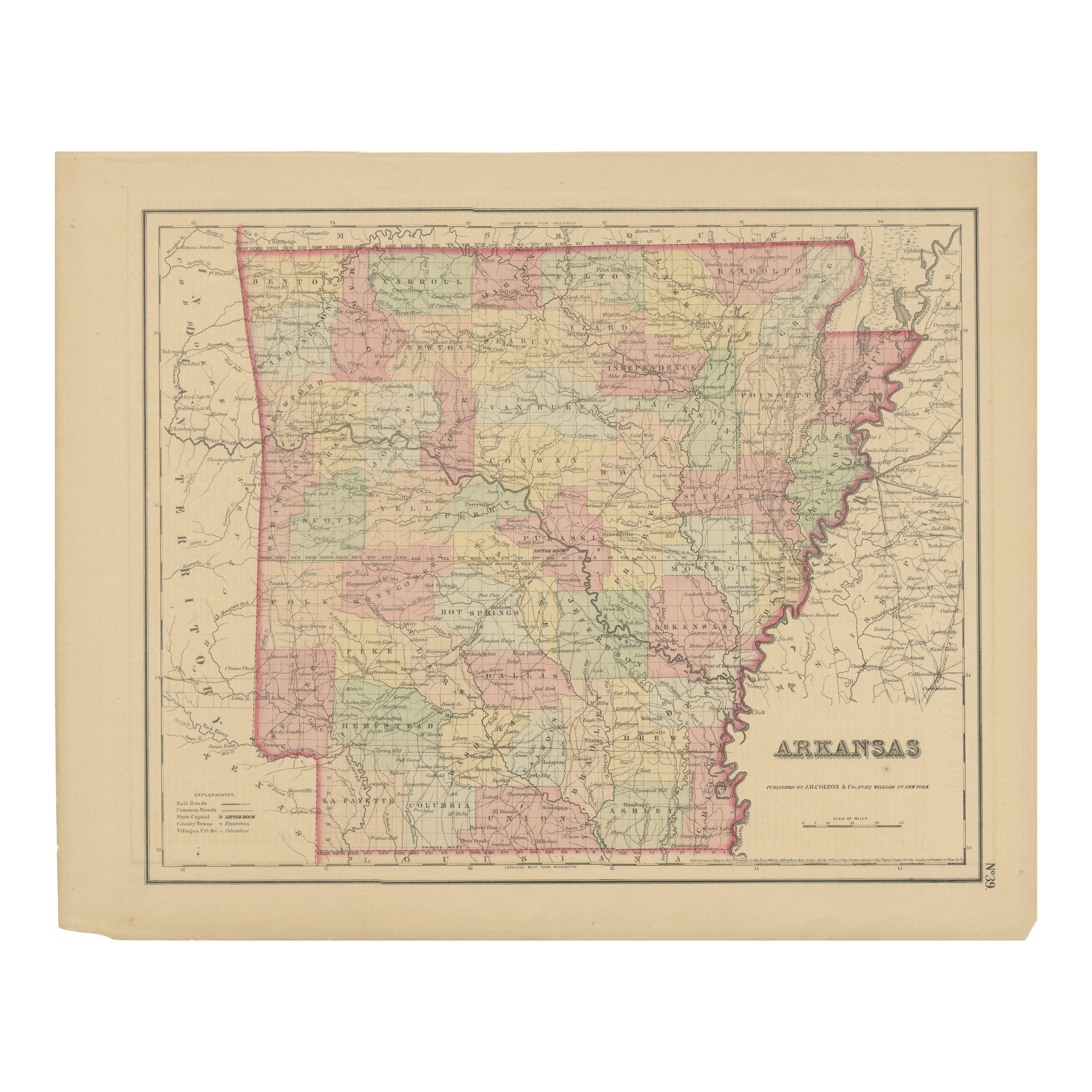
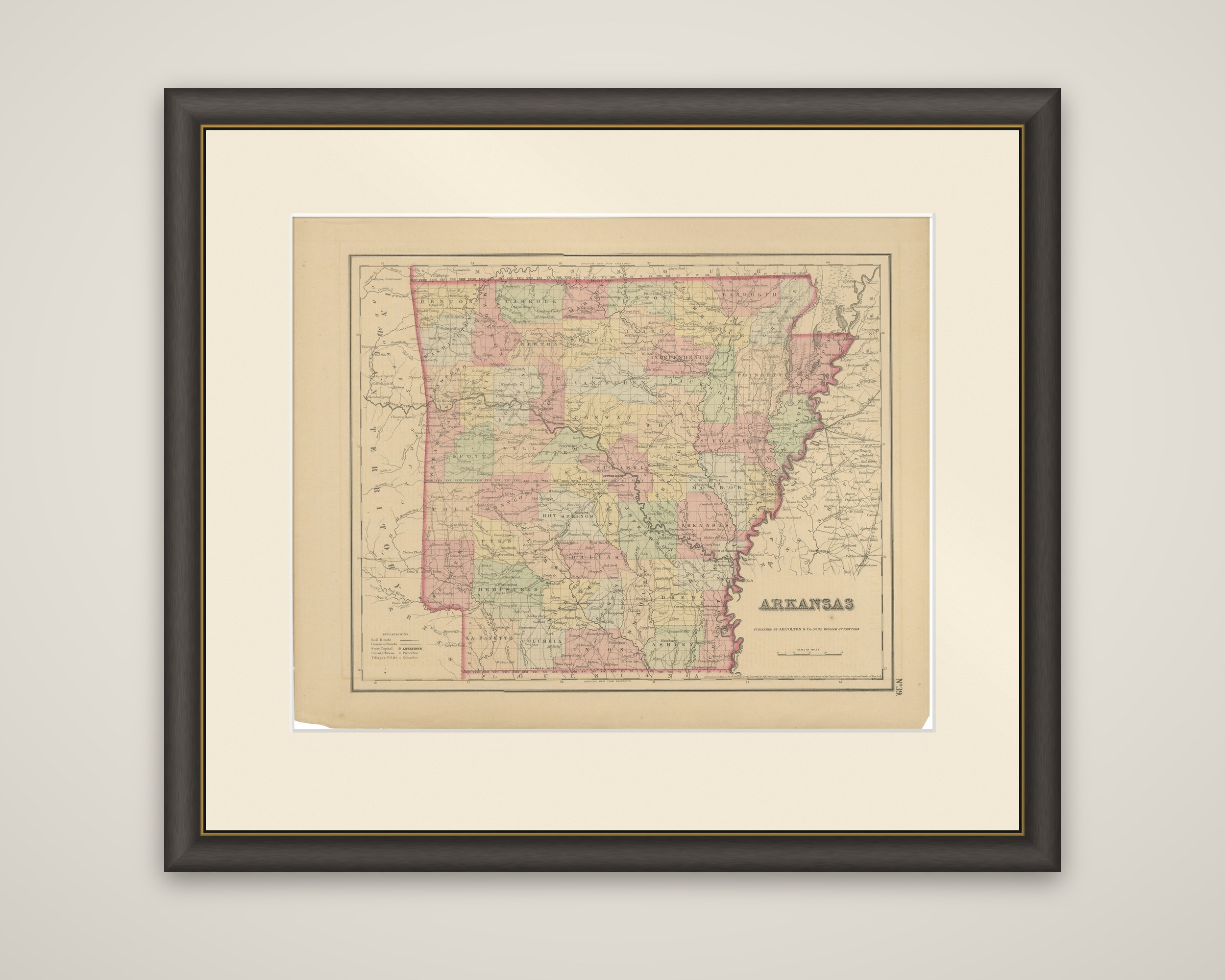
The state of Arkansas, a hand-colored steel-engraved county map published by G.W. & C.B. Colton & Co. of New York, dated by the gallery to about 1864. The title "Arkansas" is lettered at the lower right with the publisher's imprint beneath it.
Each county is tinted in pink, green, yellow or tan, and its name is printed across it. The Mississippi River forms the wavering eastern boundary, and the Arkansas River crosses the state from the northwest toward the southeast, with the White, Ouachita and Red Rivers traced beside it. Towns, roads and county seats are lettered, including Hot Springs, and the map shows the Indian Territory at the left and Missouri along the top. A key at the lower left explains the symbols for railroads, common roads and state capitals. The sheet is numbered at the lower right edge.
The date falls in the middle of the Civil War, when Arkansas was one of the states of the Confederacy, though the map itself gives no sign of the conflict and is a straightforward county map of the state.