About this sheet
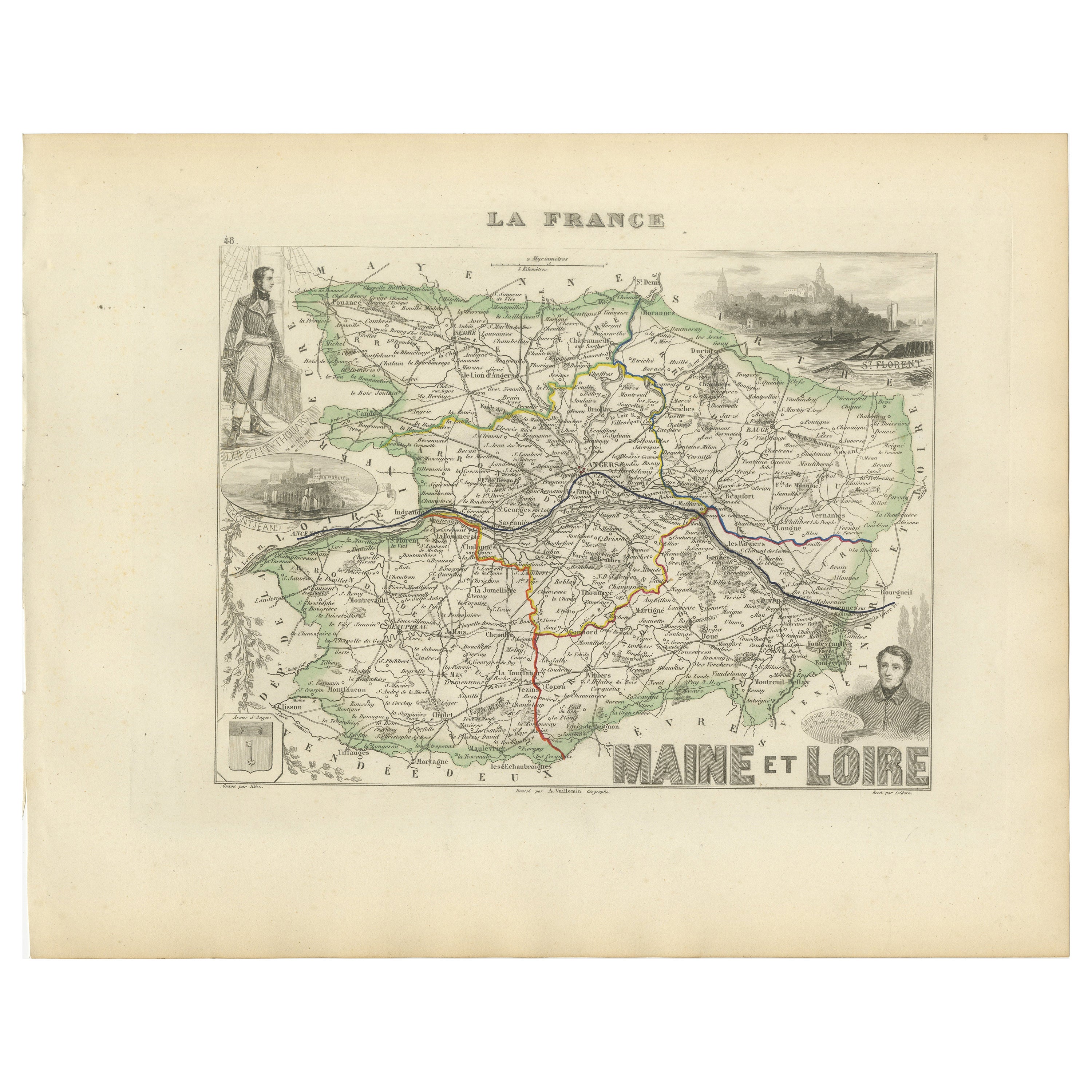
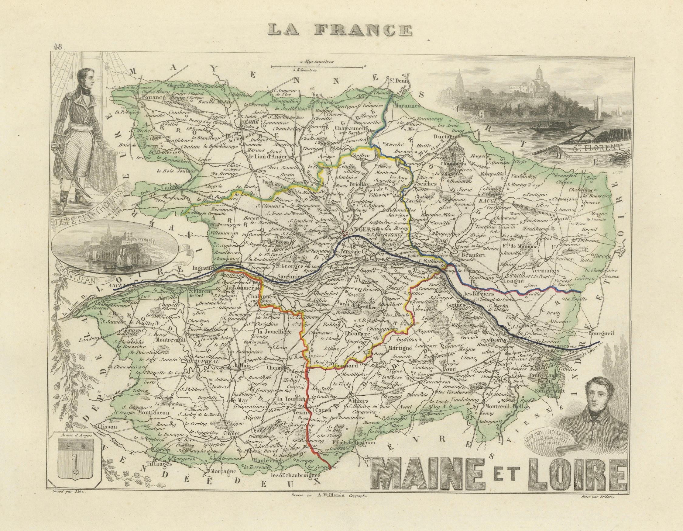
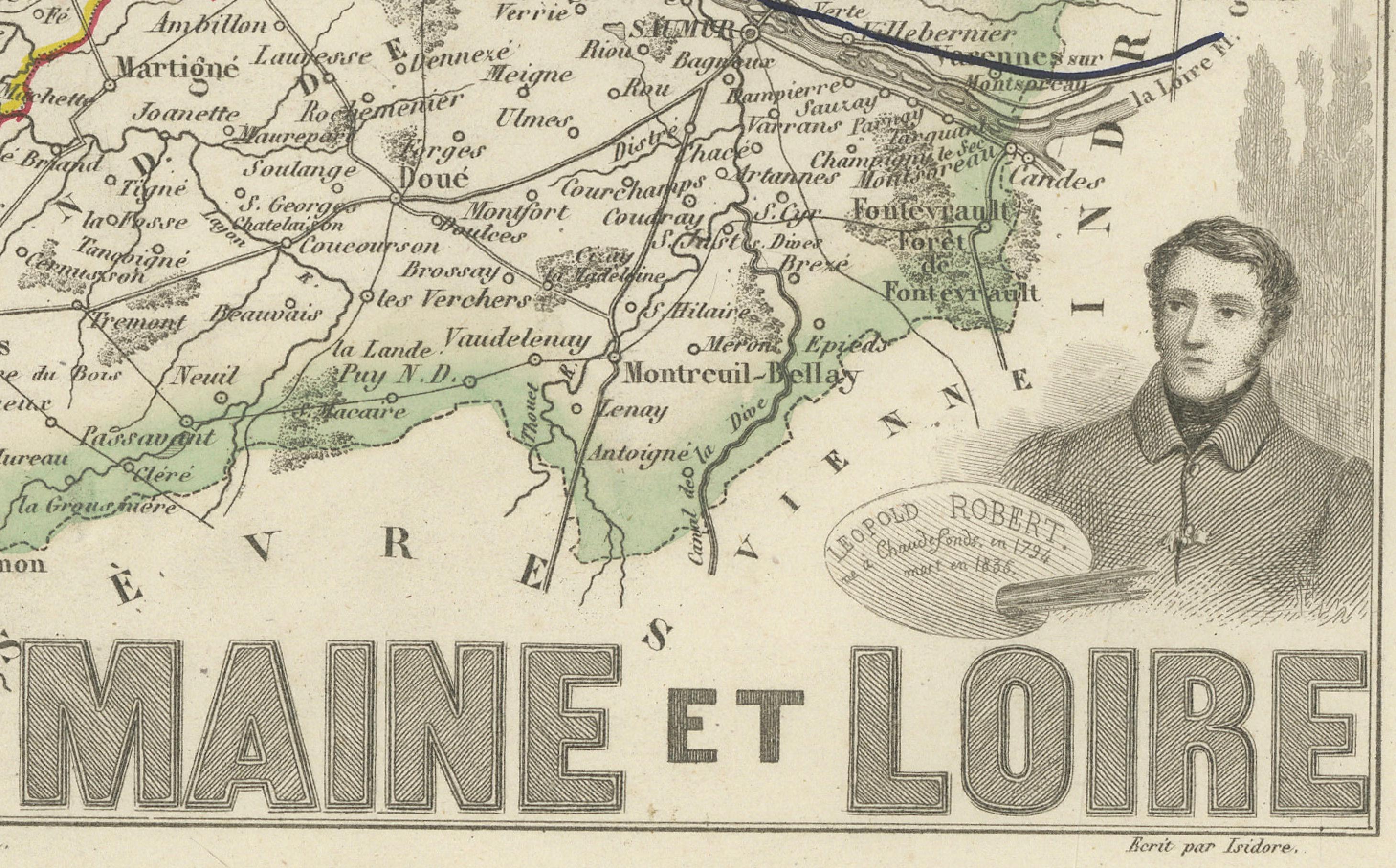
Antique Map of Maine-et-Loire with Illustrations – Vuillemin c.1850
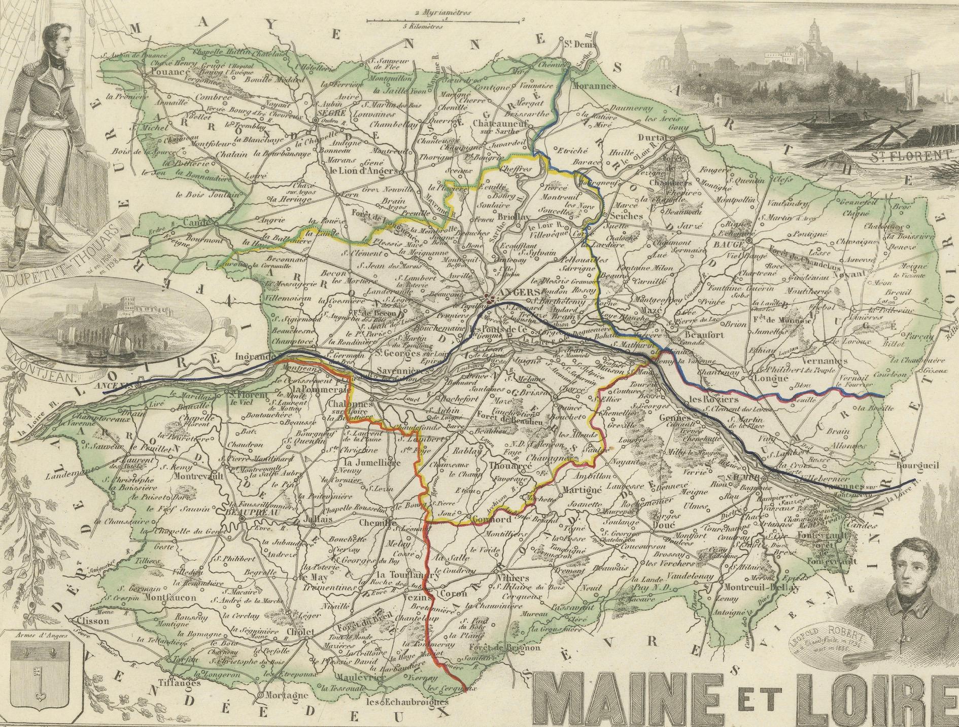
A richly detailed 19th-century map of the Maine-et-Loire department in western France, engraved by A. Vuillemin and published around 1850. This beautifully hand-colored map comes from the iconic series “La France,” which presented each department with geographical, historical, and cultural highlights.
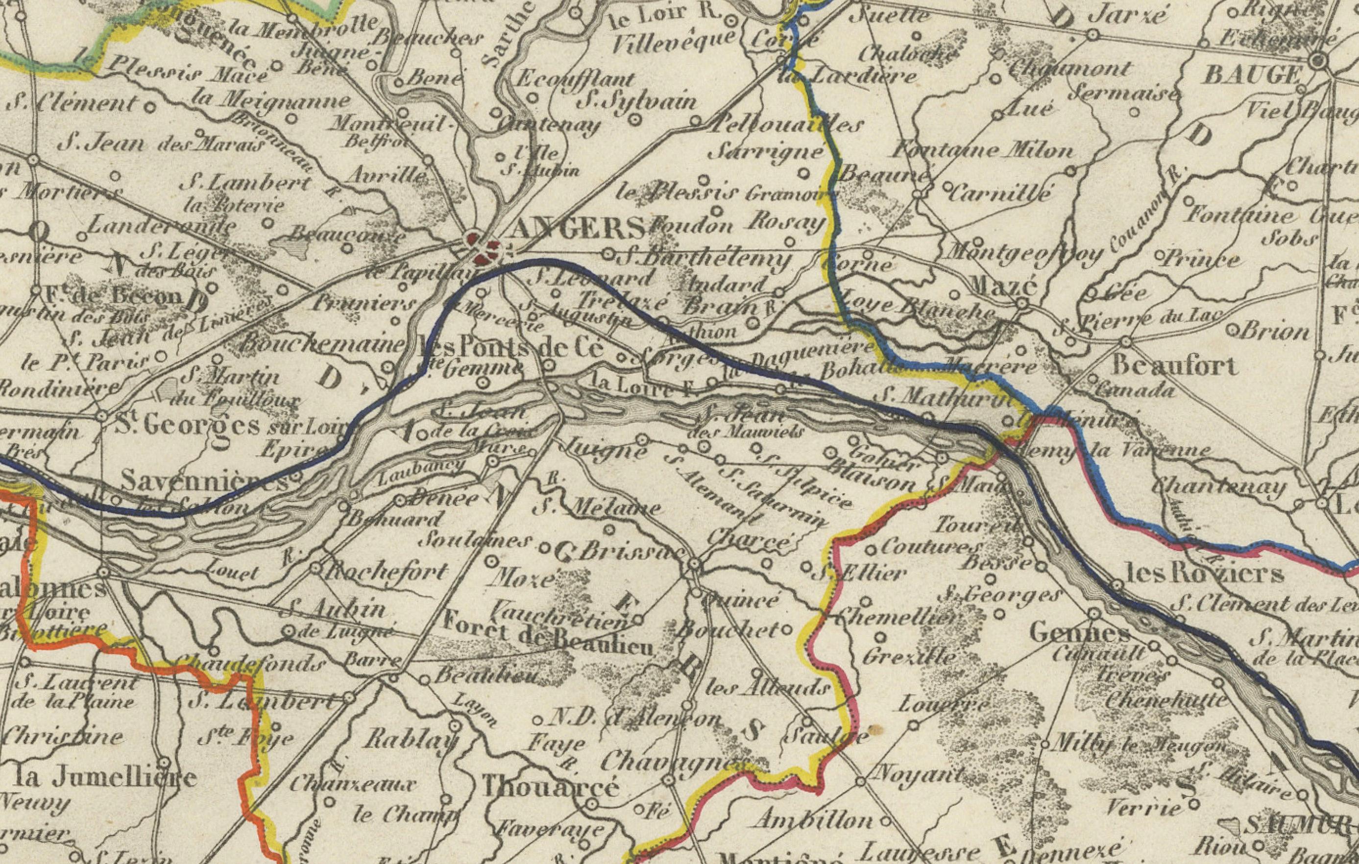
The map features hand-colored departmental borders, highlighted rivers, roadways, and an extensive array of cities, towns, and villages. The central city of Angers is prominently marked and serves as the administrative heart of the department.
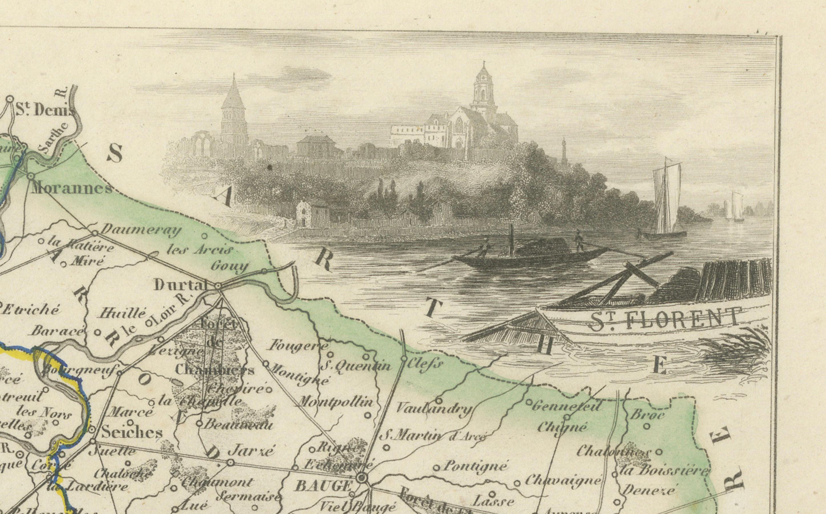
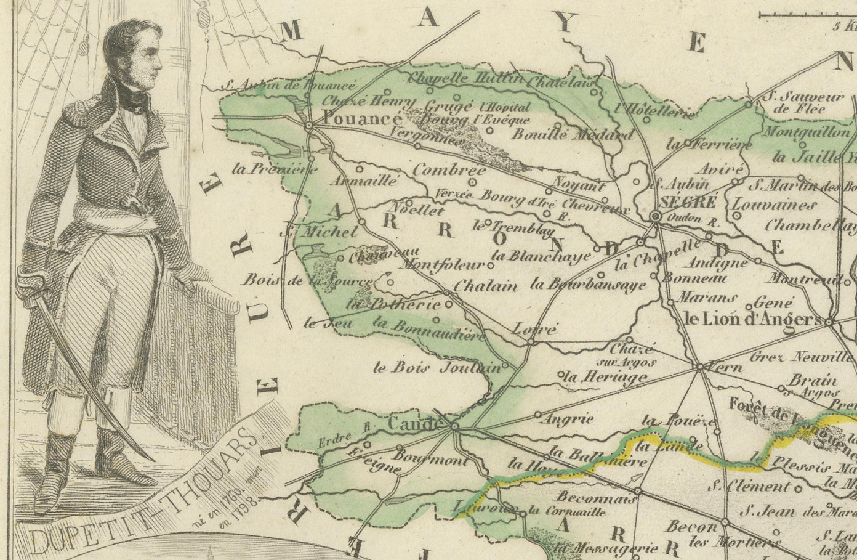
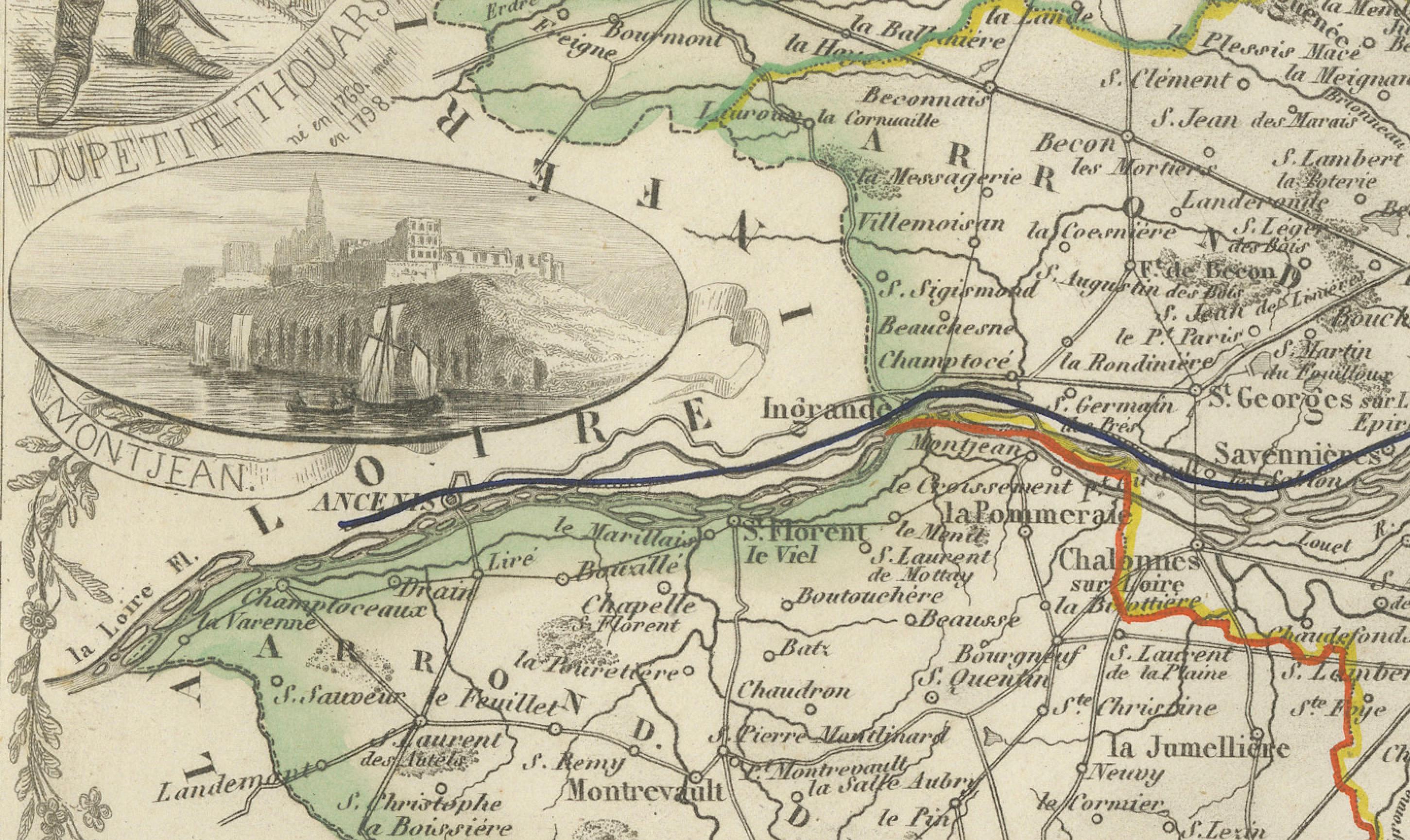
The map is further adorned with charming vignettes illustrating important local landmarks and figures:
Top left: Portrait of Lapérouse, famed naval officer and explorer.
Top right: View of Saint-Florent-le-Vieil, with its abbey dominating the skyline.
Left-center: Engraving of Le Petit Thouars, referencing the Château of the family.
Lower right: Portrait of Henri Armand de La Rochejaquelein, royalist general during the French Revolution.
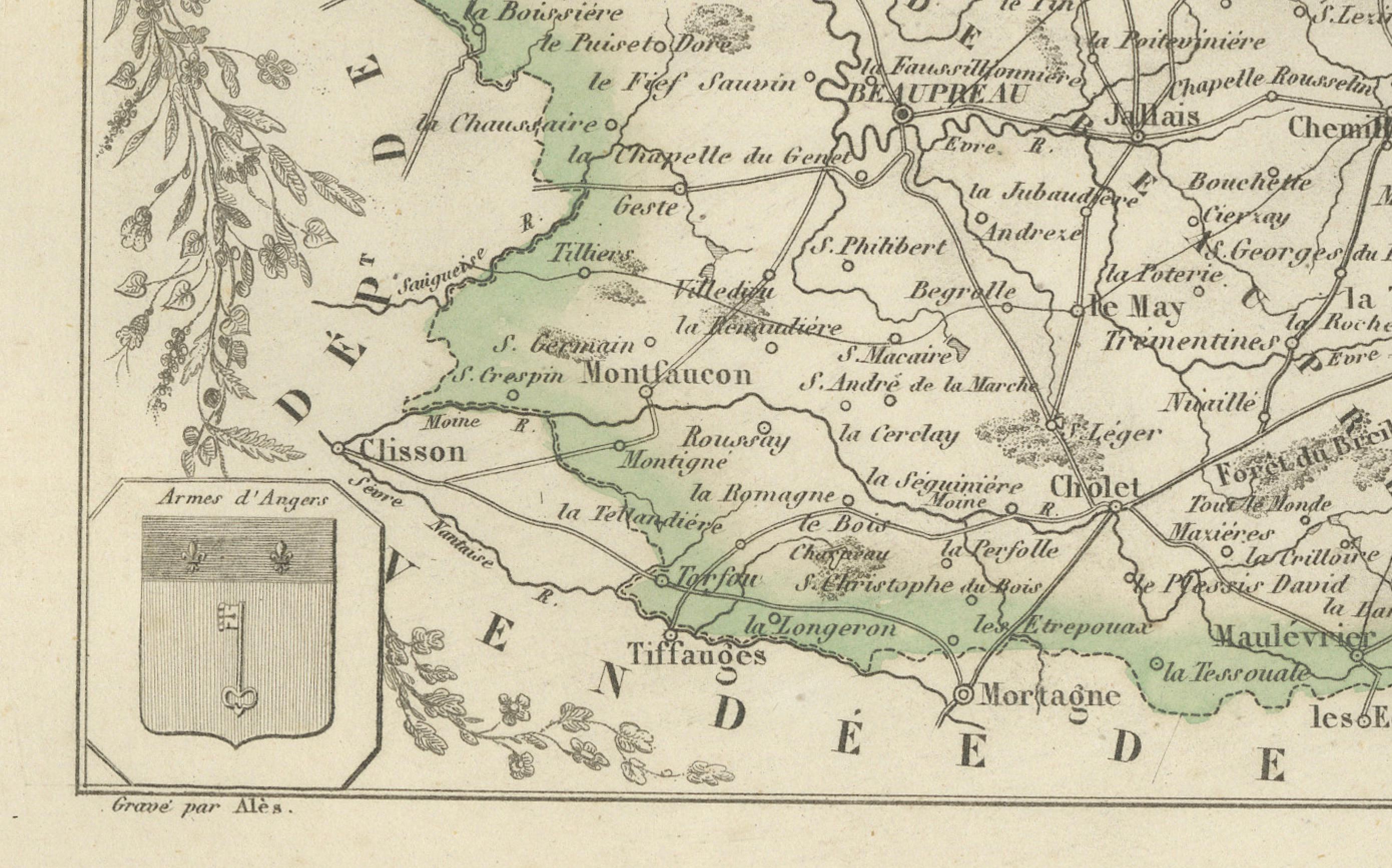
Bottom left: Arms of the department.
This composition elegantly combines geographical information with artistic flourishes that celebrate the region’s historical personalities, castles, and religious sites.
50 Key Locations on the Map:
Angers – administrative center
Saumur – historic town, wine region
Cholet – textile industry center
Segré – market town
Beaupréau – regional town
Les Ponts-de-Cé – bridge and fortress
Doué-la-Fontaine – rose and troglodyte heritage
Chalonnes – on the Loire River
Montreuil-Bellay – fortified castle town
Baugé – known for medieval castle
Candé – riverside commune
Chemillé – agricultural hub
Brissac – home of Brissac château
Varennes – on the Loire
La Pommeraye – small commune
Vihiers – agricultural town
Thouarcé – viticulture
Bécon-les-Granits – granite industry
Saint-Lambert-du-Lattay – wine village
Saint-Georges-sur-Loire – historical priory
Vernantes – northern commune
Corné – close to Angers
Neuillé – near Saumur
Saint-Macaire-du-Bois – rural
Fontaine-Guérin – scenic locale
Longué – historic mills
Noyant – forested area
Mazé – flat farmlands
Morannes – northwestern town
Torfou – edge of the Mauges
Vaudelnay – wine-producing
Trélazé – slate mining
La Bohalle – riverbank village
Les Rosiers – near Gennes
Béhuard – island on the Loire
Chaudefonds-sur-Layon – wine region
Villevêque – castle by the river
Durtal – historic chateau
Andard – east of Angers
Soulaines – small village
Sermaise – southeastern commune
La Ménitré – Loire-side village
Bouchemaine – river confluence
Mûrs-Erigné – south of Angers
Allonnes – vineyards
Tigné – wine and Roman remains
Chavagnes – in the Layon
Rochefort-sur-Loire – scenic hills
Gennes – prehistory and WWII
Le Louroux-Béconnais – west of Angers
Le Lion-d’Angers – horse breeding
Saint-Clément-de-la-Place – inland commune
Condition report:
Very good condition overall. Crisp plate impression with original outline color. Very light foxing in the outer margins. No visible tears or folding lines on the map itself. Plate mark is clearly visible.
Framing suggestion:
A dark walnut frame with off-white matting would enhance the historical tones of this map. Ideal for display in study rooms or wine-related settings, considering the region’s vinicultural relevance.
Technique: Engraving with original hand-coloring
Maker: A. Vuillemin, France c.1850