About this sheet
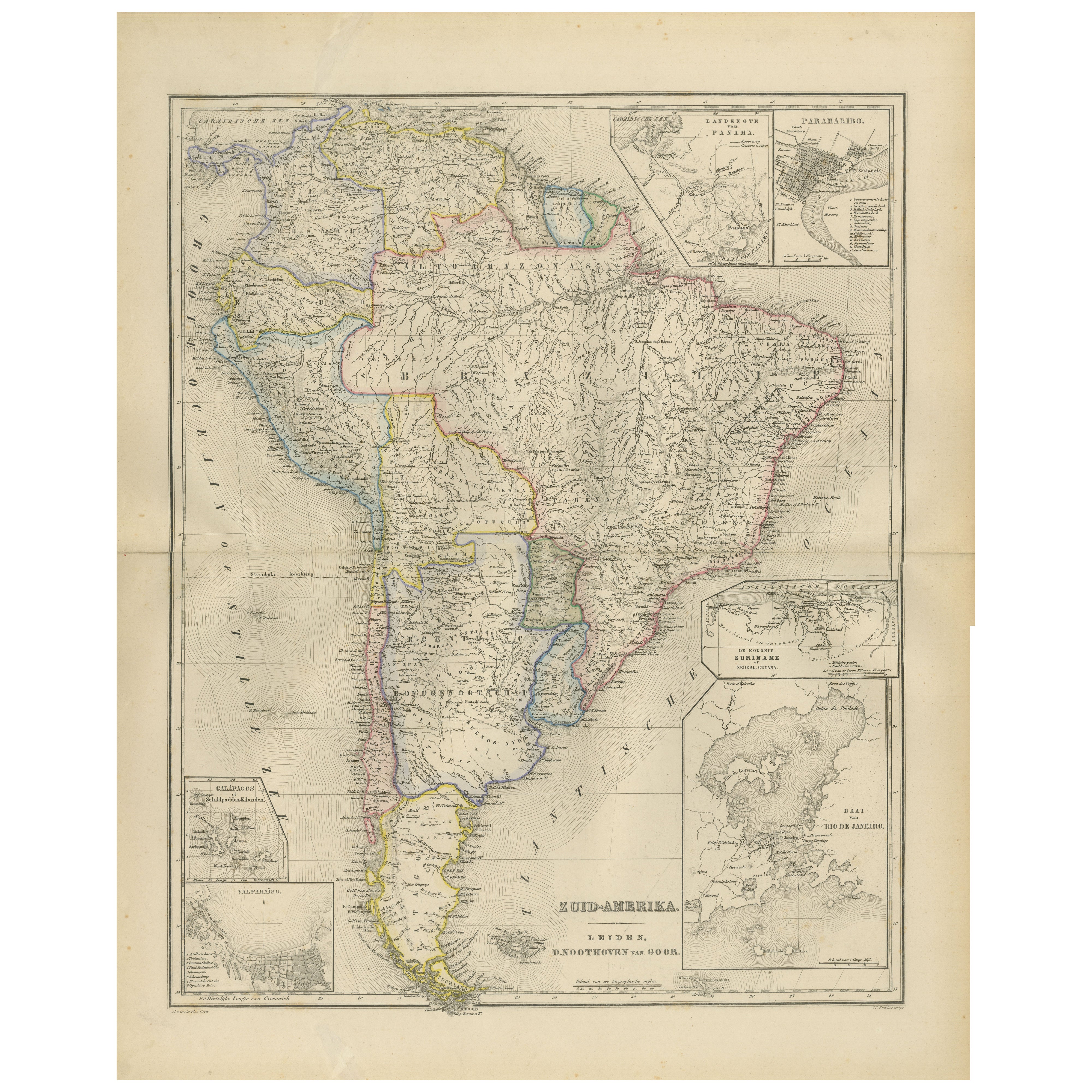
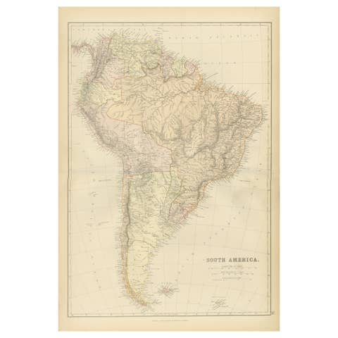
South America Map with Insets – Nieuwe Hand-Atlas, Noothoven van Goor, 1876
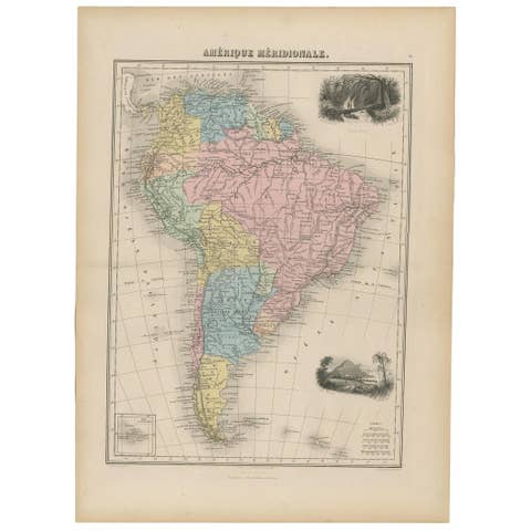
This detailed 19th-century map titled “Zuid-Amerika,” published in Leiden by D. Noothoven van Goor for the *Nieuwe Hand-Atlas der Aarde*, presents an expansive and finely engraved view of South America as it appeared around 1876. It captures a continent undergoing political consolidation, territorial definition, and rapid geographic exploration, making it an important historical document from the post-independence era of the South American republics.
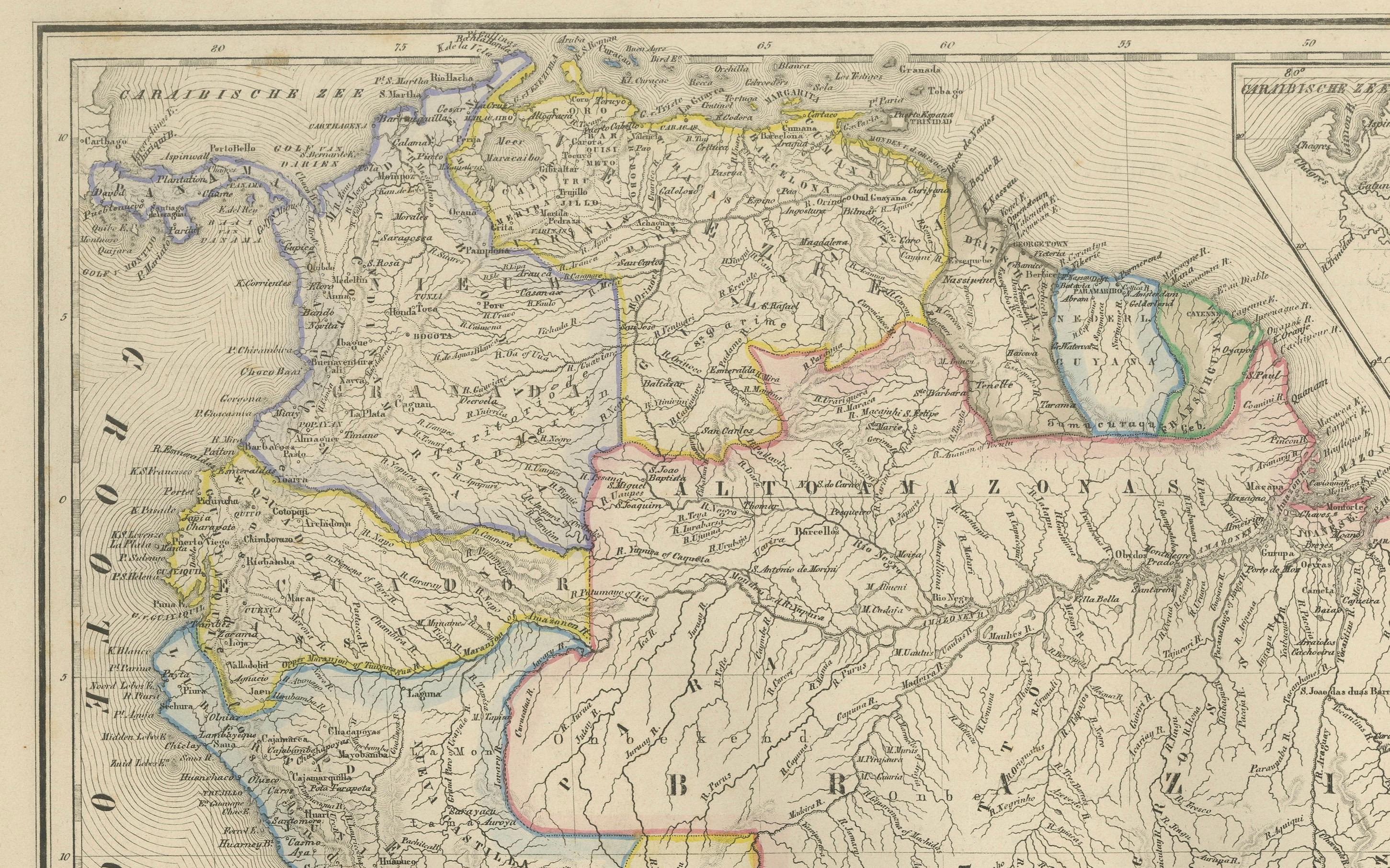
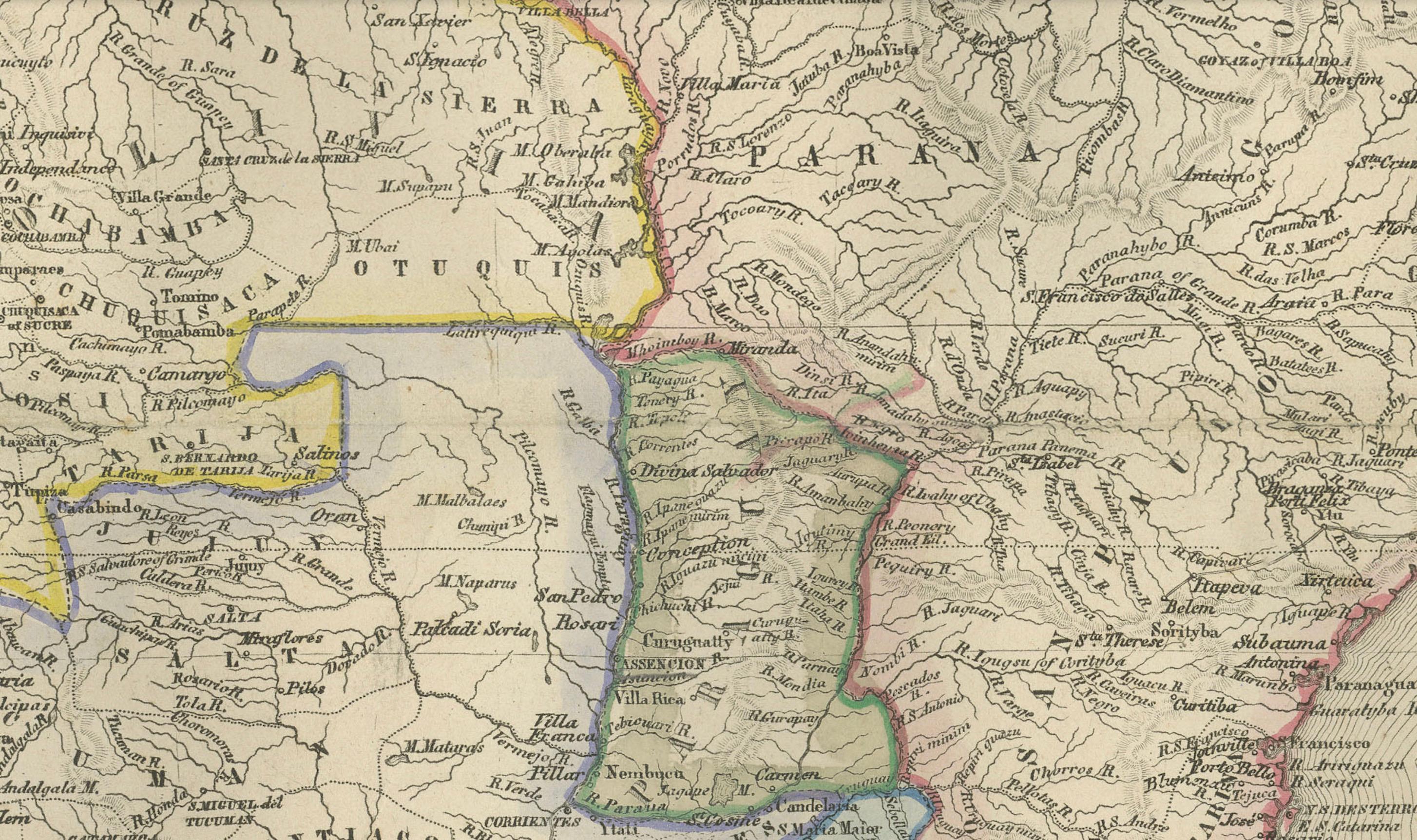
The main map outlines all major countries with delicate hand-applied color: Colombia (then including Panama), Venezuela, Brazil, Peru, Bolivia, Chile, Paraguay, Uruguay, and Argentina. Each nation is shown with clear internal boundaries, mountain ranges, river systems, and a dense network of towns and early transport routes. The Andes are depicted with expressive hachuring that conveys dramatic elevation changes along the continent’s western spine. The Amazon basin, still only partially charted at the time, appears with major river systems such as the Amazon, Madeira, Negro, and Tapajós flowing toward the Atlantic.
Brazil dominates the eastern half of the continent, with detailed provincial divisions that reflect the Imperial period under Dom Pedro II. Argentina and Chile are shown before final border settlements, retaining large undefined or contested frontier regions in Patagonia and Tierra del Fuego. Bolivia appears landlocked in this map, indicating the political situation shortly after the transfer of coastal areas to neighboring states.
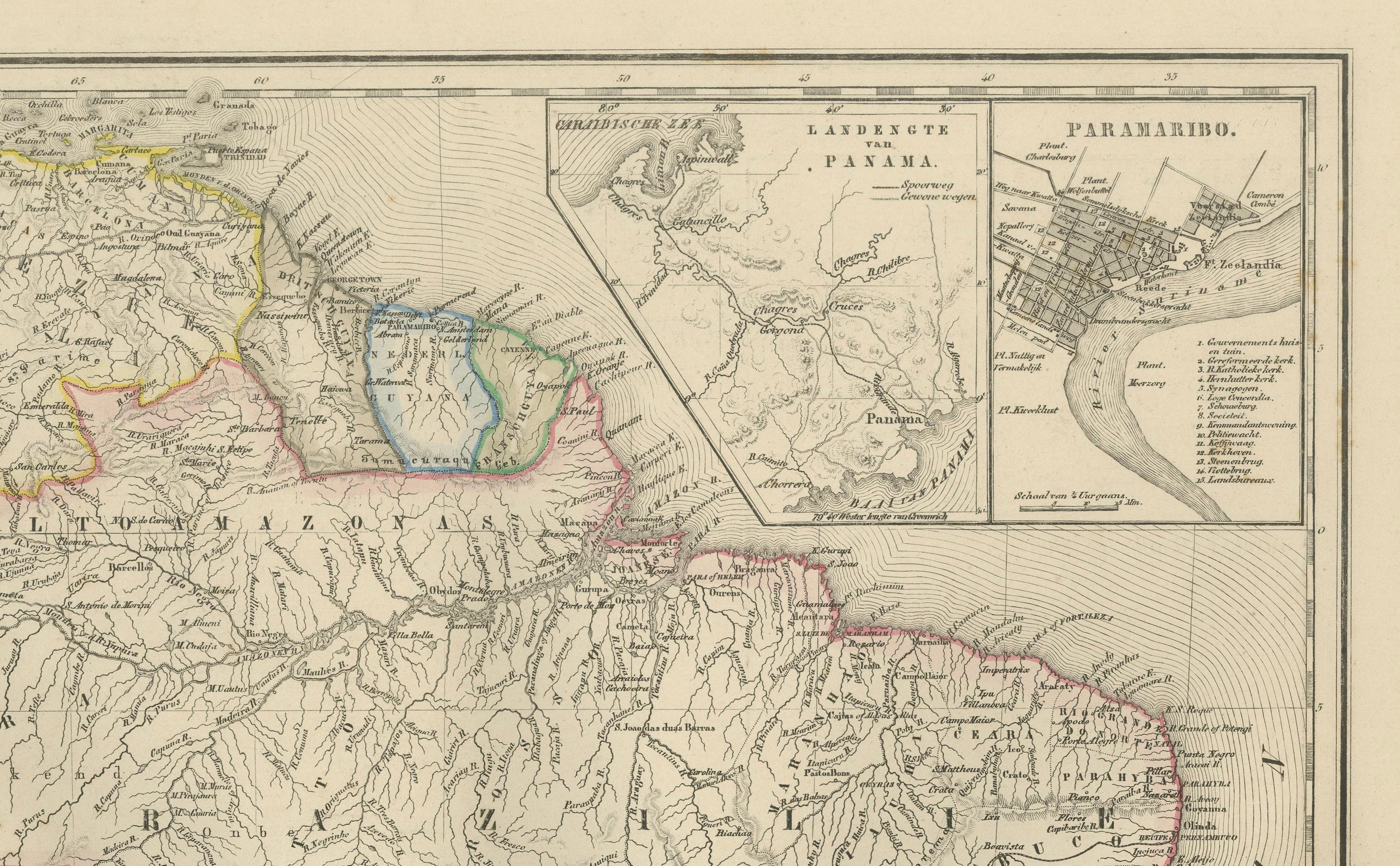
Several attractive insets enrich the plate with important regional details. These include a fine plan of **Paramaribo** (Suriname), a map of **eastern Panama** prior to the construction of the canal, a coastal chart of **Valparaíso**, and a detailed inset of **Rio de Janeiro** with its iconic bay. Another inset shows the **Falkland Islands (Malvinas)**, demonstrating the relevance of British maritime routes in the South Atlantic. These insets provide valuable historical depth and reveal key port cities linked to trade and exploration routes of the era.
This map is engraved with exceptional clarity, combining scientific precision with elegant 19th-century cartographic aesthetics. Its large format and multiple inset maps make it a standout decorative and historical piece, ideal for collectors of Latin American history, colonial cartography, or geographic representation of the 19th century.
Condition report:
Good condition with moderate age toning and scattered foxing, mostly in the margins. Original center fold as issued. Borders crisp, engraved details strong, and hand-coloring well preserved. No tears or repairs visible.
Framing tips:
Choose a warm ivory or subtly textured off-white mat to complement the soft pastel boundary colors. A walnut or dark oak frame works well for a classic presentation, while black or brushed gold adds a more contemporary gallery look. Because of its vertical format, allow a generous top and bottom margin for balanced display.
Keyword block:
South America, Brazil, Argentina, Chile, Peru, Bolivia, Colombia, Venezuela, Uruguay, Paraguay, Andes Mountains, Amazon River, Patagonia, Rio de Janeiro, Paramaribo, Valparaiso, Falkland Islands, 19th century map, 1876, Nieuwe Hand-Atlas, Noothoven van Goor, historical cartography, Latin America, Suriname, Panama, Tierra del Fuego.