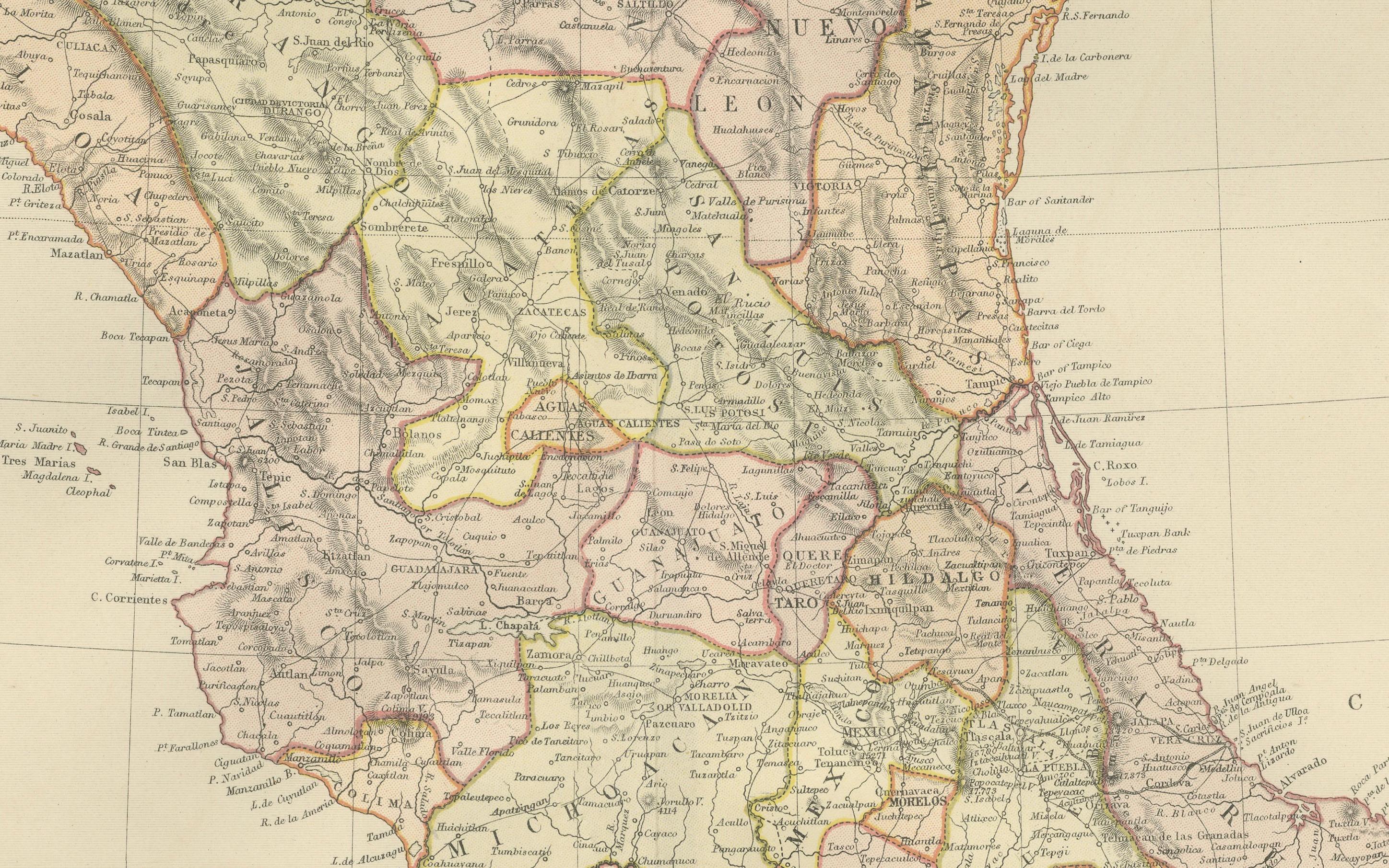
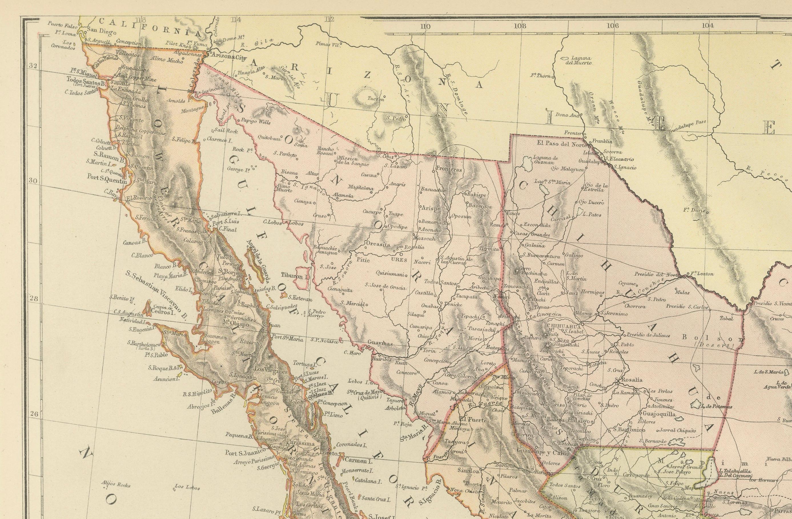
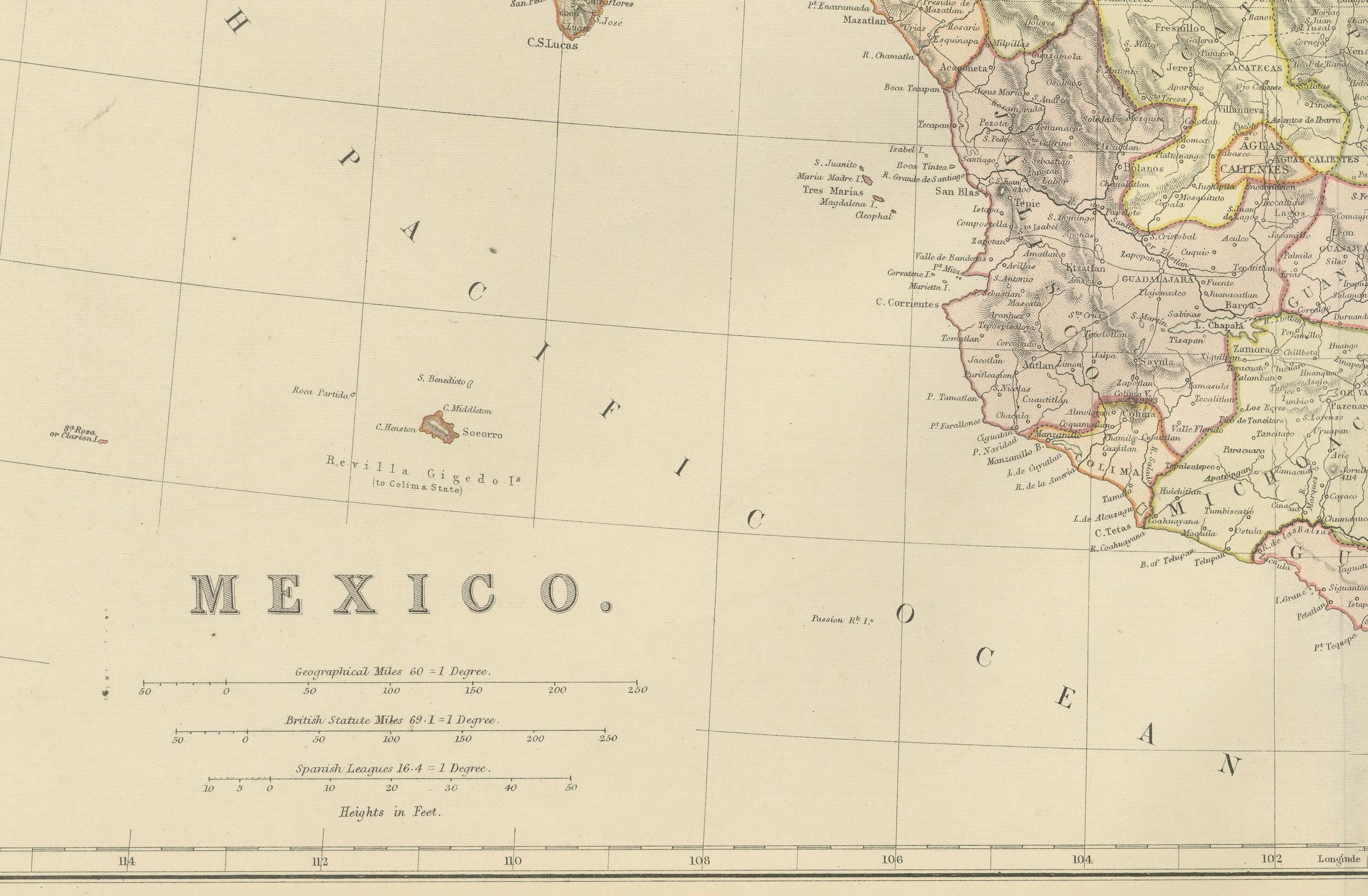
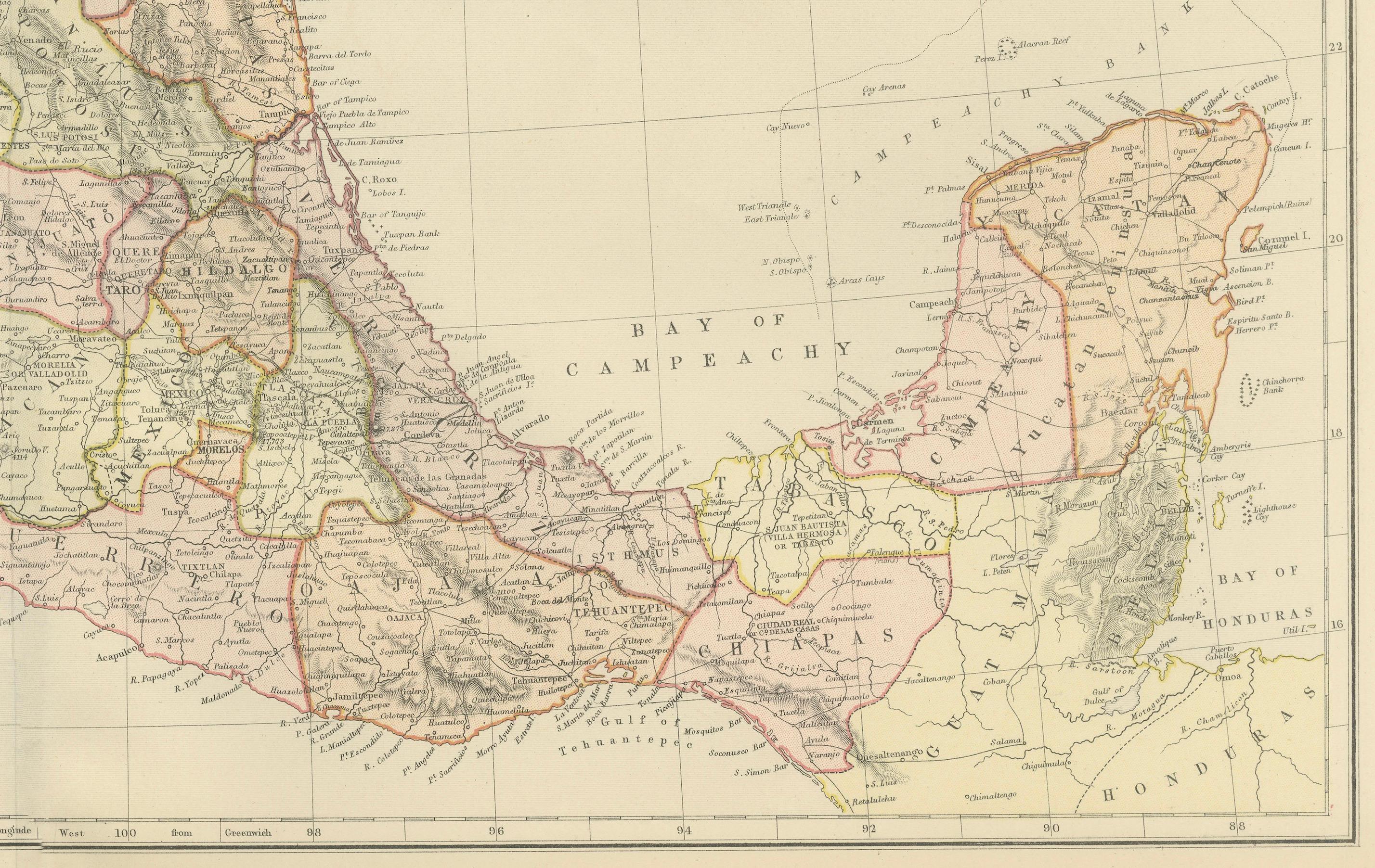
1882 Antique Map of Mexico Highlighting Geographical and Political Boundaries
€ 250
One of a kind: this is the sheet in the photographs. Ships from Langweer, the Netherlands.
Date
1882
Sheet size
38 × 57 cm (15.0 × 22.4 in)
Condition
Good
Reference
BG-13601-2-66
Condition
Condition report: The map is in good condition with minimal edge wear. Slight toning and occasional spotting are present, consistent with its age. The engraving remains sharp, and the colors are well-preserved. Fold line in middle, as issued.
About this sheet
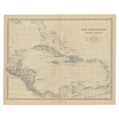
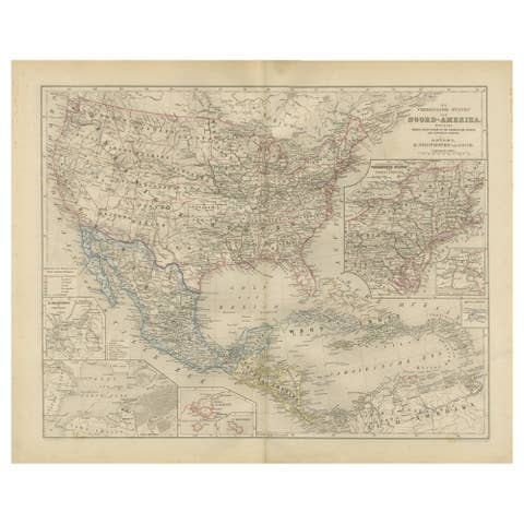
This 1882 map of Mexico, published by Blackie and Son as part of the 'Comprehensive Atlas and Geography of the World,' provides a highly detailed representation of the country's geography and political divisions during the late 19th century. The map showcases Mexico's states and territories, each outlined with subtle color shading to distinguish them clearly. It includes major cities, towns, and settlements, offering a snapshot of the country's urban and rural landscape at the time.
Topographical details are meticulously engraved, highlighting mountain ranges such as the Sierra Madre, expansive plains, and significant rivers like the Rio Grande. The map also captures the coastal features along the Pacific Ocean, the Gulf of Mexico, and the Yucatan Peninsula, emphasizing Mexico's strategic maritime geography. The detailed depiction of Baja California and the neighboring regions, including portions of the southern United States, reflects the broader geographical context of the region.
The craftsmanship of the engraving and the soft pastel coloring make this map a valuable historical artifact and an attractive piece for display. Its precision and artistry are a testament to the high-quality cartography produced by Blackie and Son.
Condition report: The map is in good condition with minimal edge wear. Slight toning and occasional spotting are present, consistent with its age. The engraving remains sharp, and the colors are well-preserved.
Framing tips: Choose a classic wooden frame in walnut or mahogany to enhance the map's vintage appeal. Use a double mat with a cream or off-white inner mat and a soft green or beige outer mat to complement the map’s tones. Opt for UV-protective glass to safeguard against light damage and preserve the map’s condition.