About this sheet
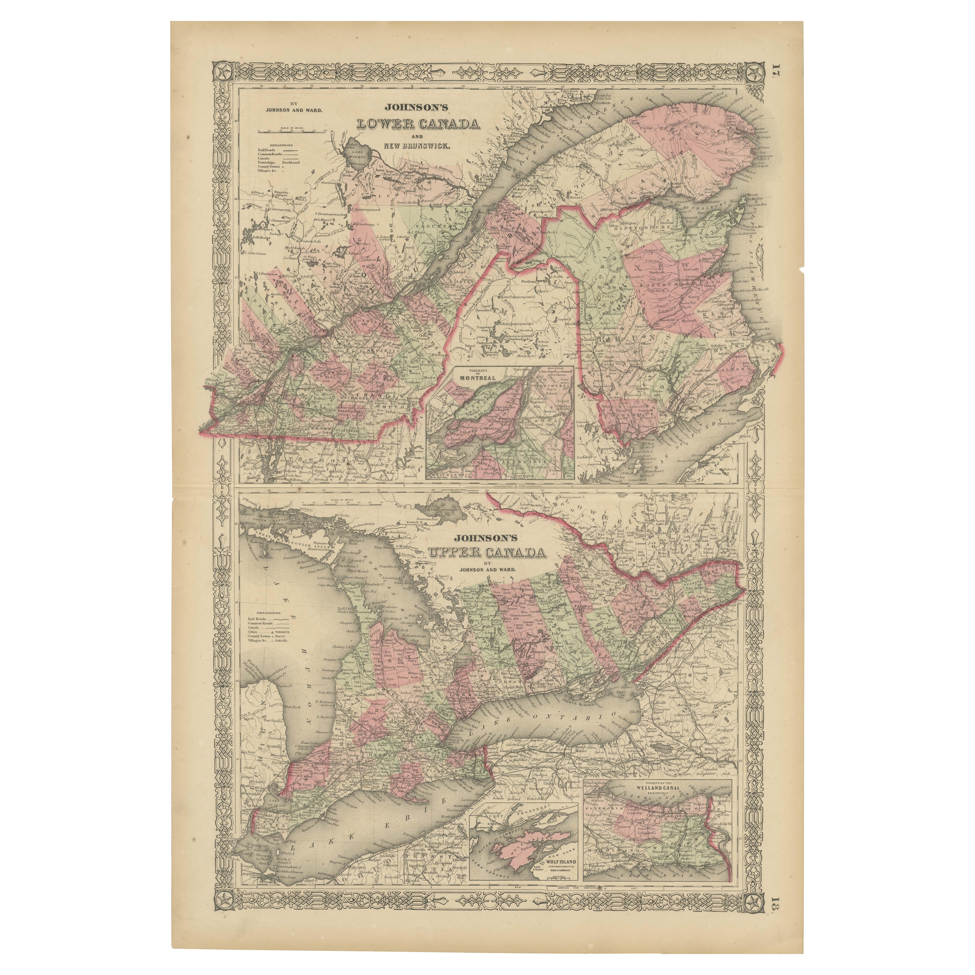
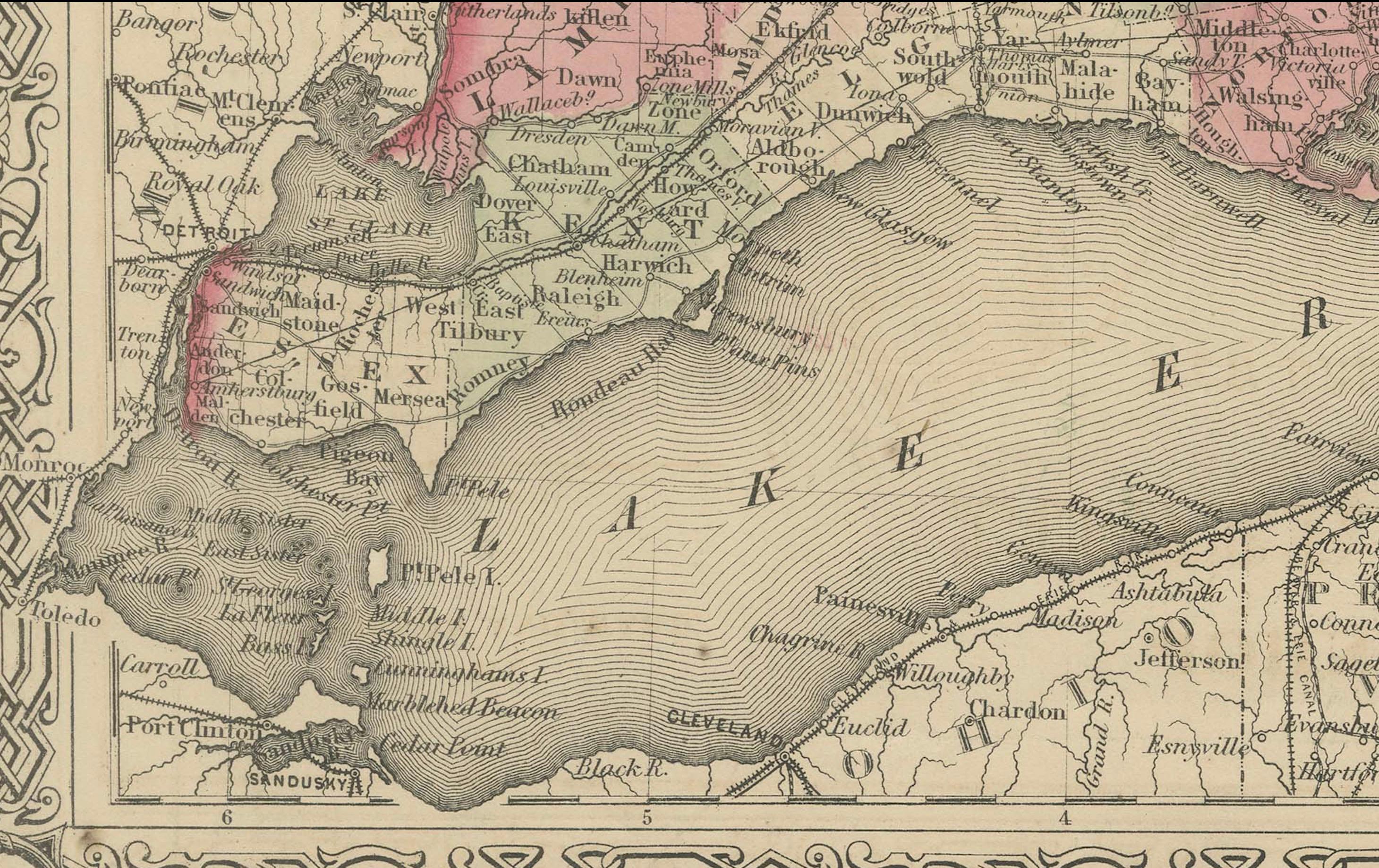
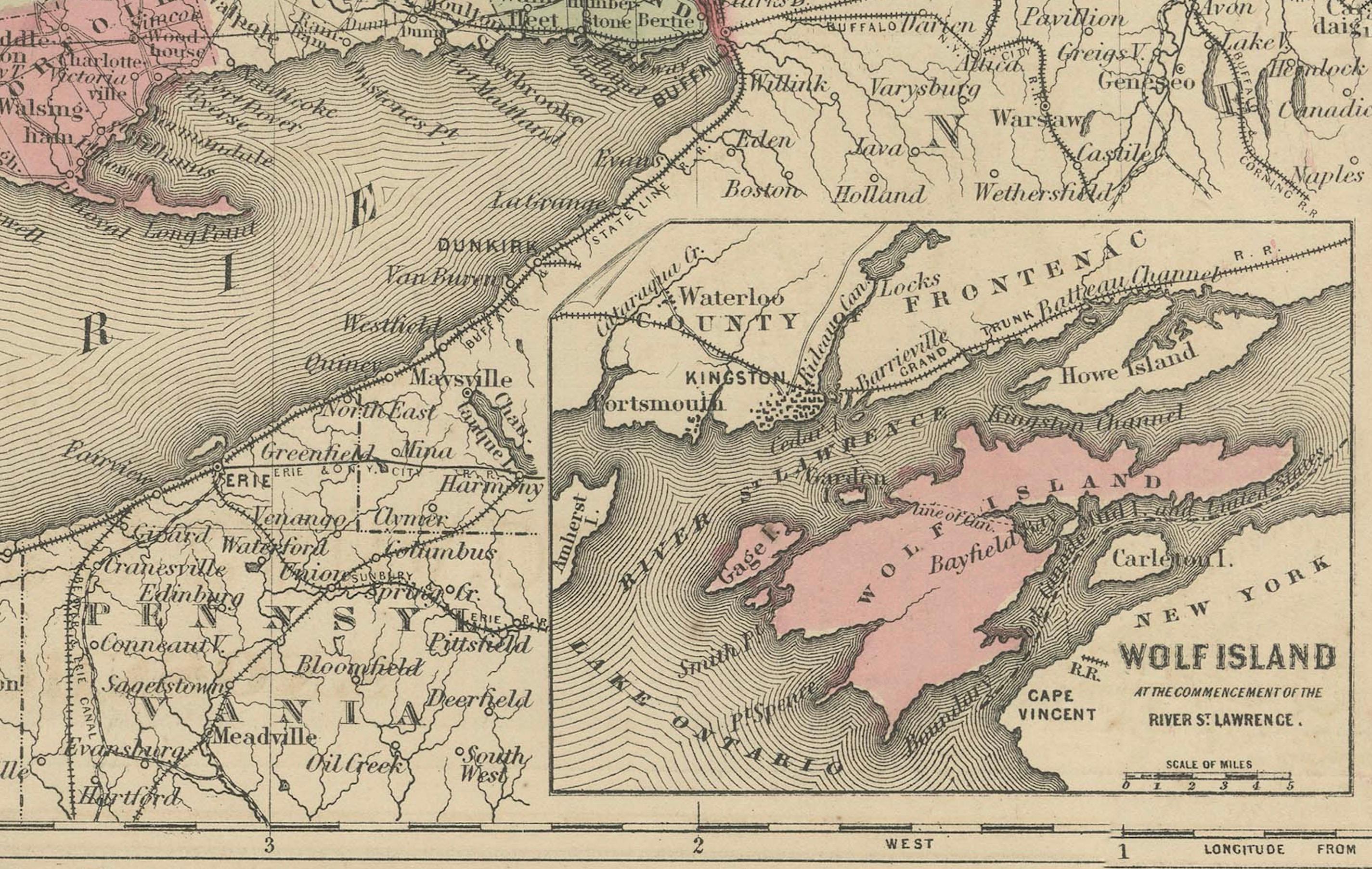
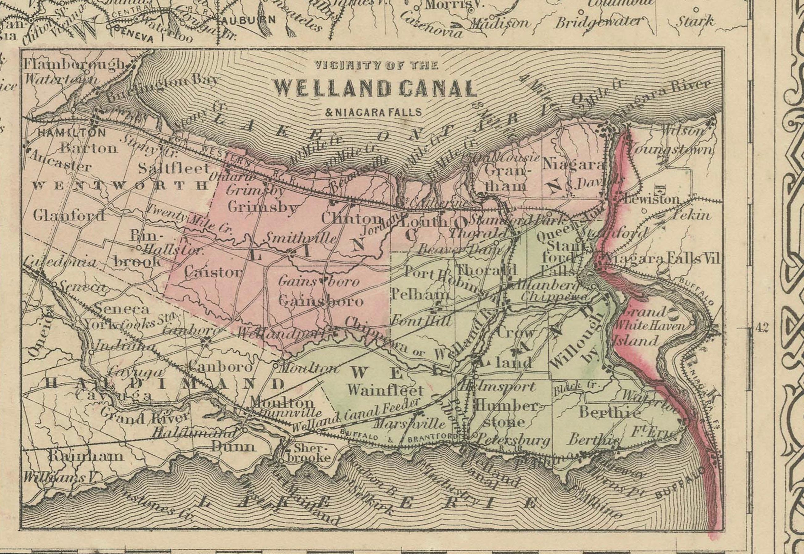
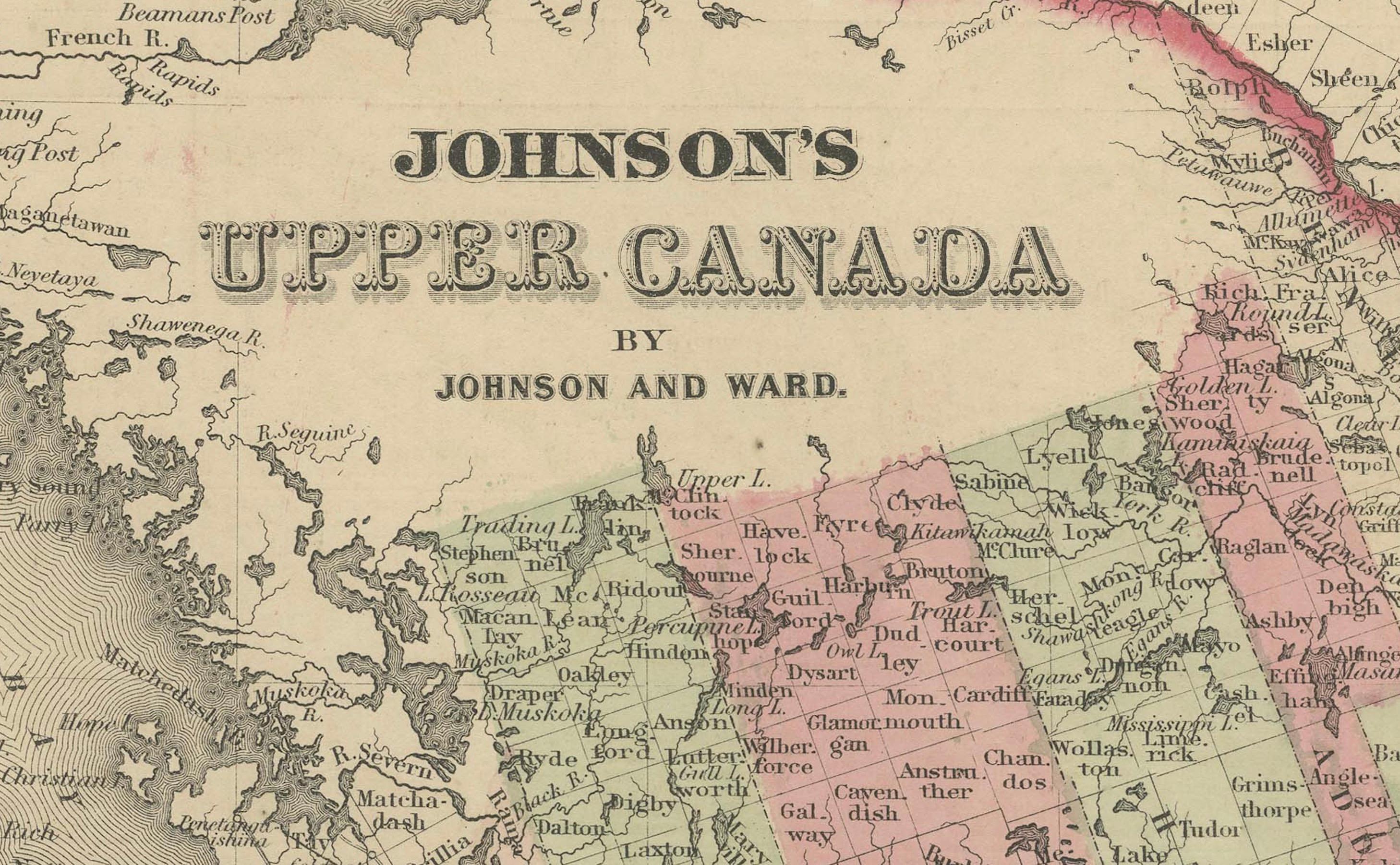
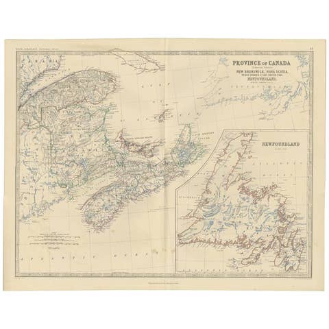
This finely detailed antique map, titled "Johnson's Canada," was published in 1864 by Johnson and Ward, a prominent American mapmaking firm known for their precise and visually appealing atlases during the mid-19th century.
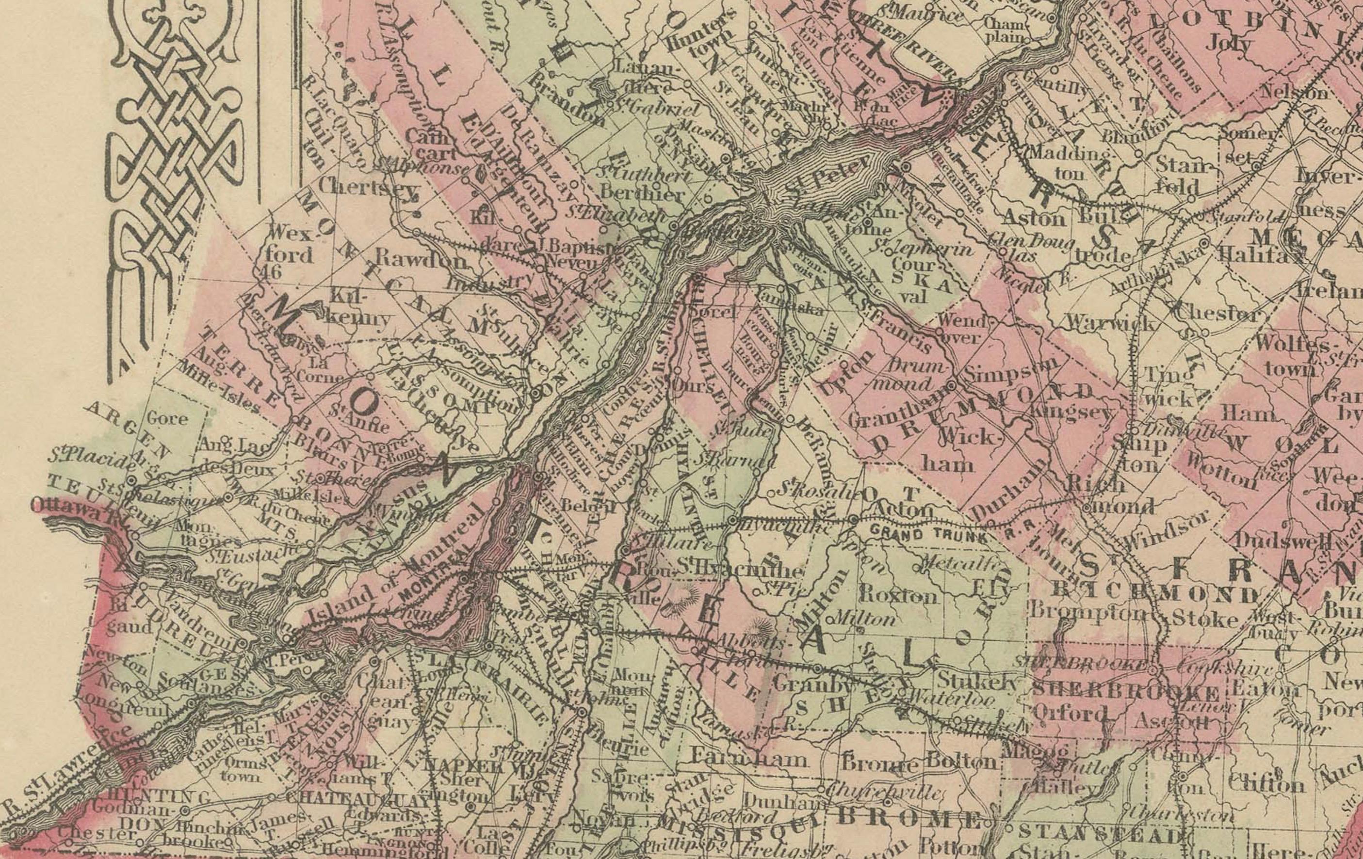
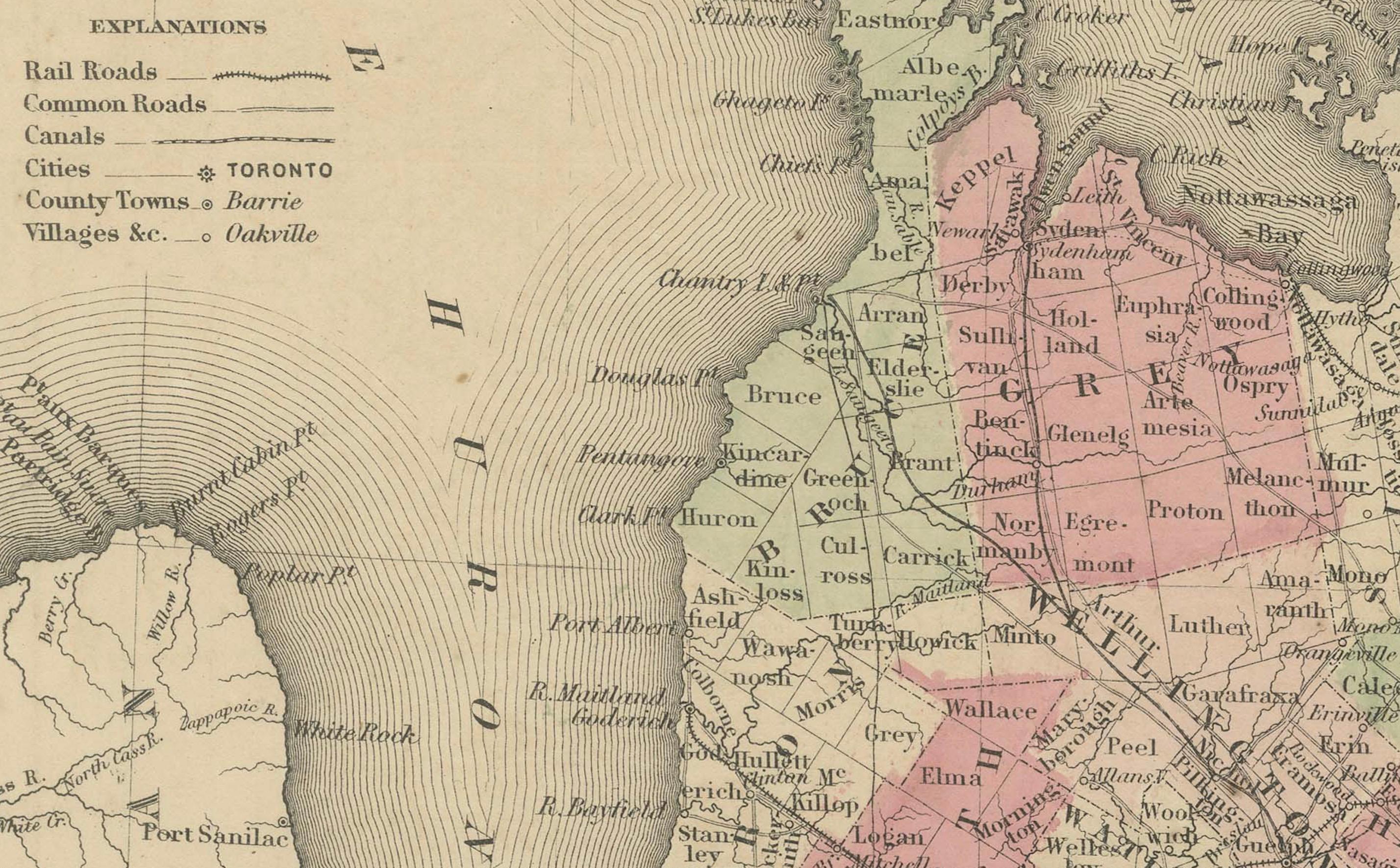
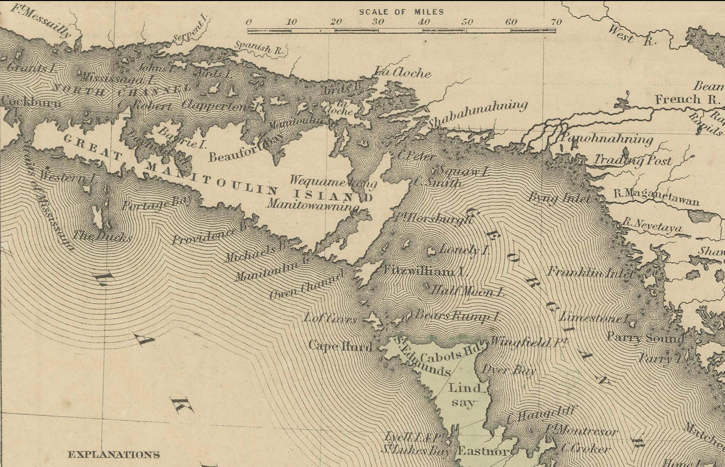
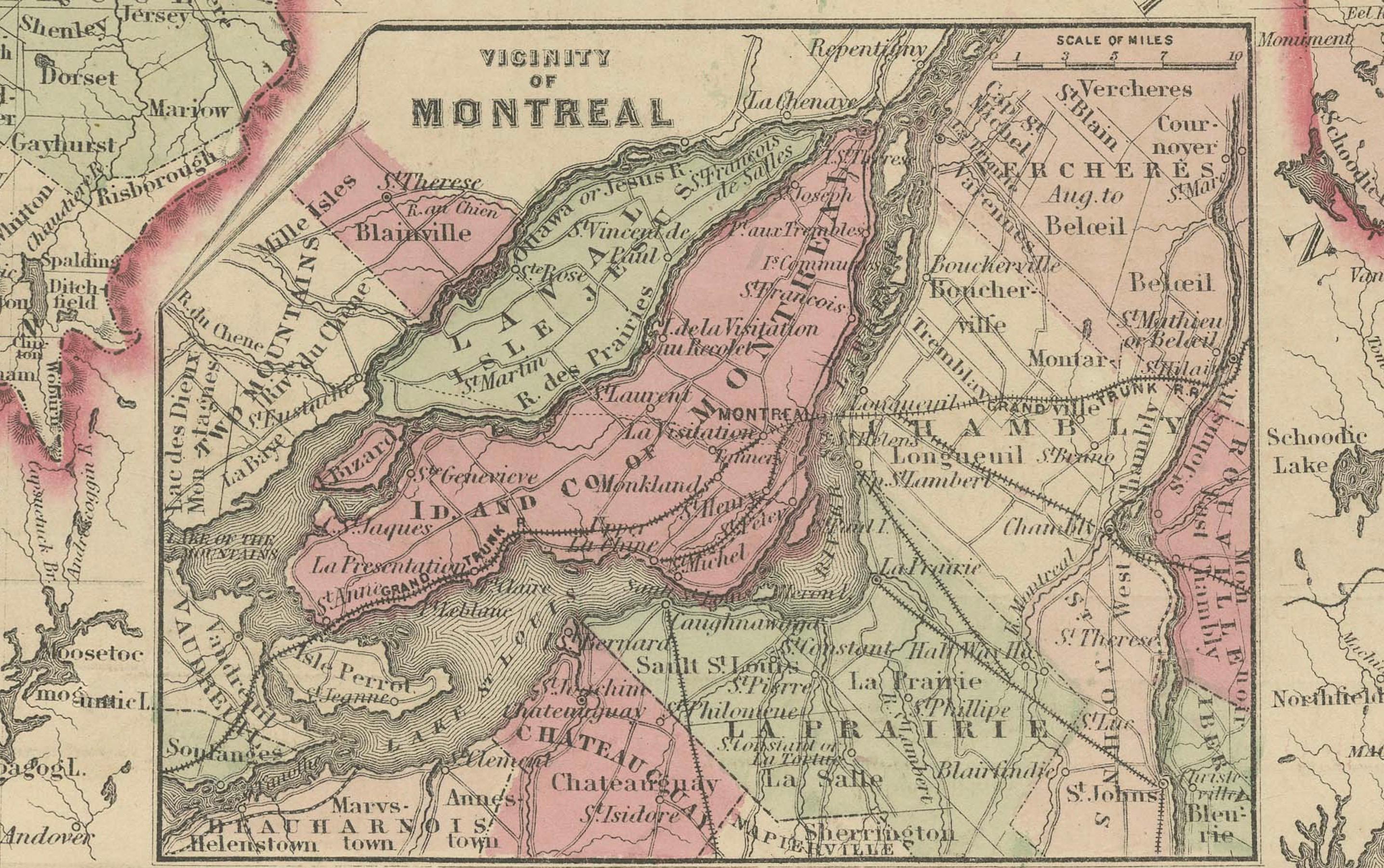
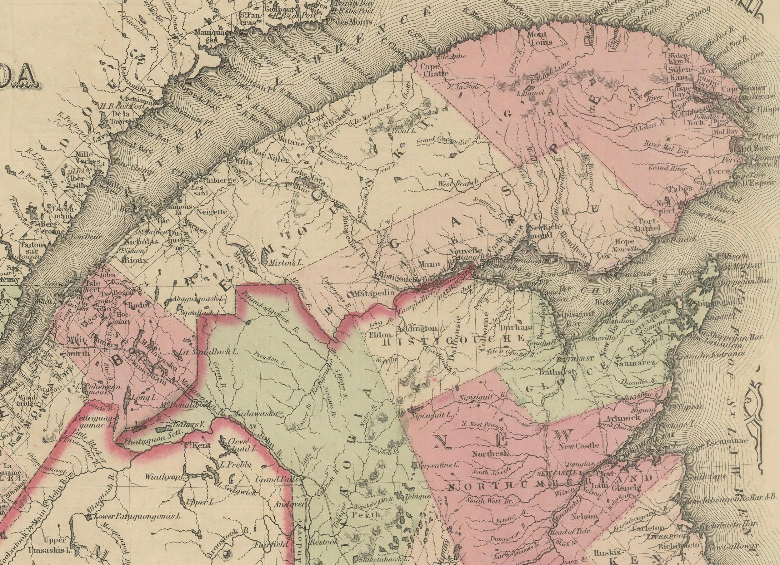
The map meticulously illustrates the region of Canada, focusing on British North America (modern-day Ontario, Quebec, and the Maritime Provinces), showcasing counties, towns, railroads, and geographical features of the period. Each region is outlined in a vibrant pink, with a soft green wash filling the background, creating a striking contrast that highlights the area’s topography. A decorative border frames the map, adding to its antique charm, while the map prominently features the Great Lakes, including Lake Ontario and Lake Huron, with fine engravings of their coastlines, and the St. Lawrence River.
The map was produced using the steel engraving technique, renowned for its precision and ability to render fine lines and intricate details, as evident in the crisp text and delicate linework.
What makes this map particularly compelling is its historical context—created during the Civil War, it captures Canada at a time of growing colonial development, just three years before Confederation in 1867, reflecting British control and early infrastructure like railroads. The map also highlights key cities like Toronto and Montreal, offering a glimpse into Canada’s economic and cultural landscape.
Collectors and historians will treasure this map for its ability to transport viewers to a pivotal moment in North American history, blending functional cartography with artistic elegance, making it an exceptional piece for any collection of antique maps or Canadian memorabilia.
Condition Report: The map is in good condition for its age, with light toning and minor foxing along the edges. Small tears are present at the fold lines, but there are no significant losses. The colors remain vivid, and the paper is intact with slight wear.
Framing Tips: Use an acid-free mat to prevent discoloration and UV-protective glass to shield from light damage. A classic wooden frame with a gold accent enhances the map’s vintage charm. Avoid tight pressing to reduce stress on the folds.
Matting Board Color Recommendation
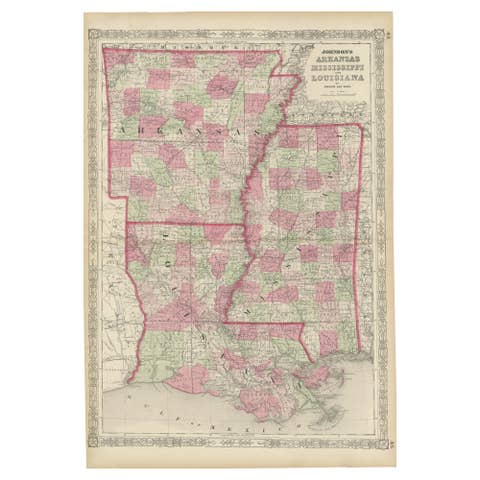
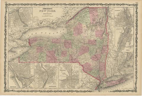
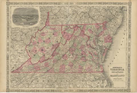
The map features a color palette consistent with the previous maps in the series, with pink regional outlines, green background shading, and black engravings on a cream-colored paper. The decorative border adds an ornate touch, and the overall aesthetic is delicate and antique.
A soft ivory or off-white matting board is recommended, as it complements the aged cream tone of the map’s paper, creating a cohesive and elegant look. This neutral color allows the pink and green hues to stand out without distraction, maintaining a classic, museum-quality presentation that appeals to collectors. It also enhances the map’s historical charm by blending seamlessly with its vintage appearance.
For a subtle contrast, a pale sage green could also work, picking up on the green shading in the map while keeping the focus on its details. Avoid bold or dark colors like red or navy, as they could overpower the map’s delicate tones and detract from its antique appeal. Ensure the matting board is acid-free to protect the map from long-term damage. A double mat with a slightly darker shade (like a light beige) for the inner layer can add depth while keeping the presentation refined.