Washington Oregon Idaho Map – Johnson, Hand-Colored, c.1864
€ 220
Original antique · The actual sheet photographed · Certificate of authenticity on request · Sold unframed · Worldwide shipping from € 15 (rates)
Date
1864
Sheet size
35.7 × 45.7 cm (14.1 × 18.0 in)
Condition
Fair
Reference
BG-13952-39
What the condition grades mean
Excellent
Bright and clean, with no faults worth mentioning.
Very good
Only light signs of age, such as faint toning.
Good
Normal signs of age for a sheet of this period: toning, some foxing, small marks or neat old repairs.
Fair
Clear faults such as staining, tears or repairs, priced to match.
Every fault we see is written in the condition note, and the whole sheet is shown uncropped in the photos.
Condition
Fair condition. Strong impression with bright original hand coloring. General age toning and minor marginal spots or handling marks typical for antique atlas maps. Small tape residue in upper left margin outside printed area as well as some tears.
About this sheet
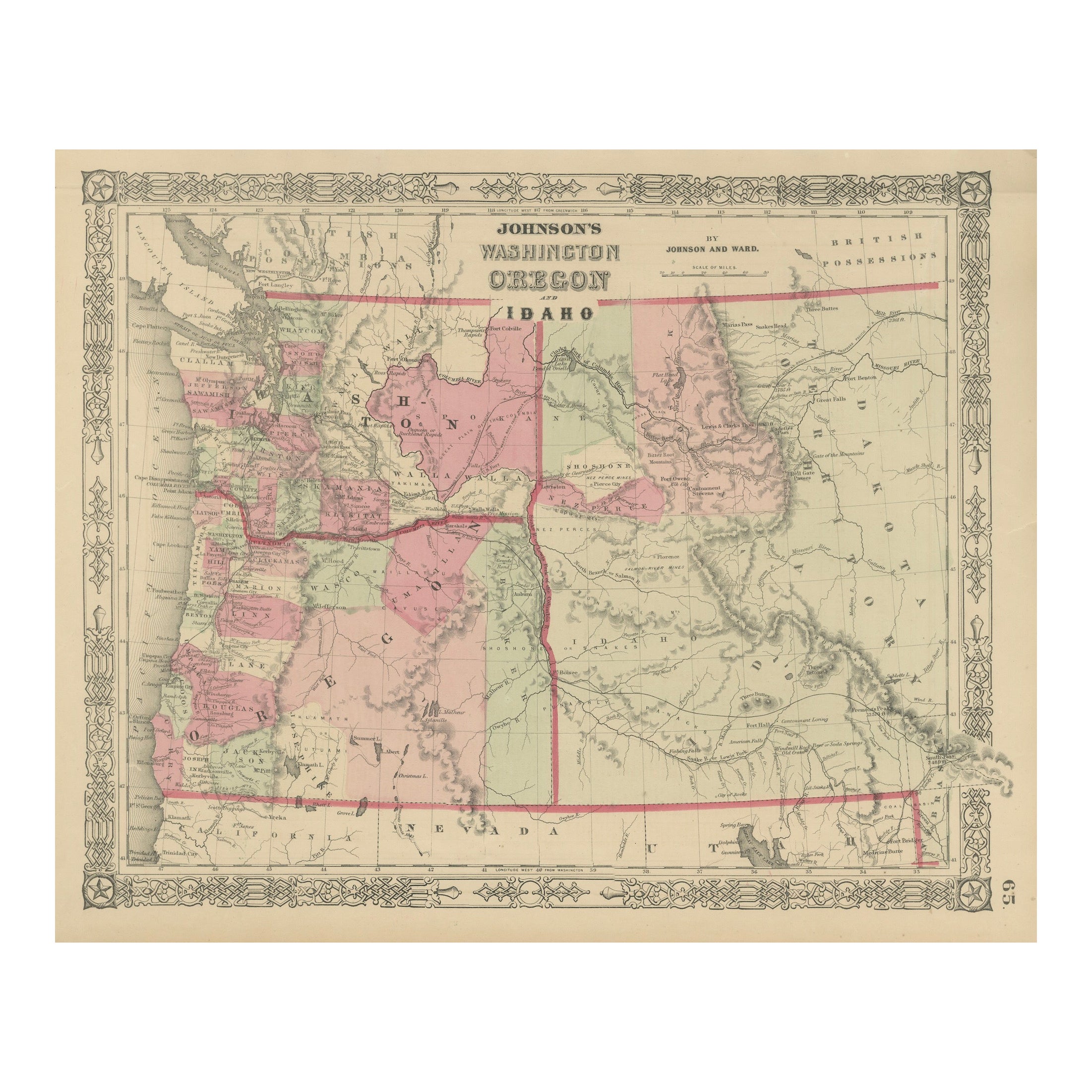
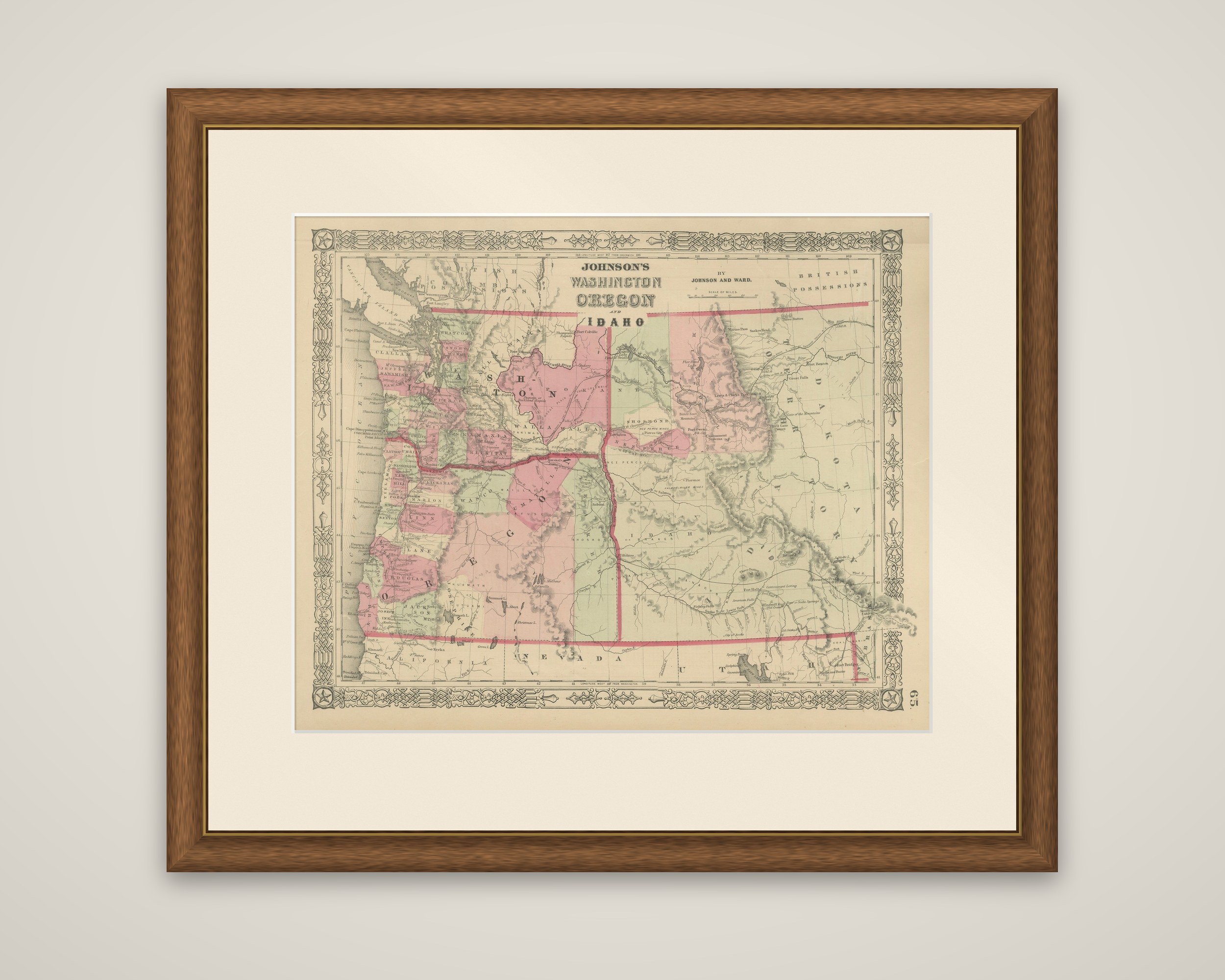
The Pacific Northwest, "Johnson's Washington, Oregon and Idaho by Johnson and Ward," a hand-colored steel-engraved map published in New York around 1864. The title is lettered at the top center of the sheet within the publisher's ornamental border.
Washington Territory, the state of Oregon and the new Idaho Territory are outlined in pink and green, with the Puget Sound and the mouth of the Columbia River at the left. The Columbia and Snake Rivers are traced across the sheet, with mountain ranges drawn in shading and the counties of Oregon and Washington lettered. A very large Idaho extends across the right half of the sheet, and Dakota Territory is lettered at the far right with British Possessions along the top and Nevada and Utah along the bottom. Towns such as Portland, Salem, Olympia and Lewiston are marked, with trails and wagon roads across the interior.
Idaho Territory was organized in 1863, and at the date of this map it still included the land that became Montana in 1864 and Wyoming in 1868, which is why it appears so large here.