Original antique · The actual sheet photographed · Certificate of authenticity on request · Sold unframed · Worldwide shipping from € 15 (rates)
Date
1888
Sheet size
36 × 52.5 cm (14.2 × 20.7 in)
Condition
Good
Reference
BG-12794-52
What the condition grades mean
Excellent
Bright and clean, with no faults worth mentioning.
Very good
Only light signs of age, such as faint toning.
Good
Normal signs of age for a sheet of this period: toning, some foxing, small marks or neat old repairs.
Fair
Clear faults such as staining, tears or repairs, priced to match.
Every fault we see is written in the condition note, and the whole sheet is shown uncropped in the photos.
Condition
With age toning, light foxing, and small edge wear consistent with age. Plate mark visible. Paper remains strong with no major tears or losses.
About this sheet
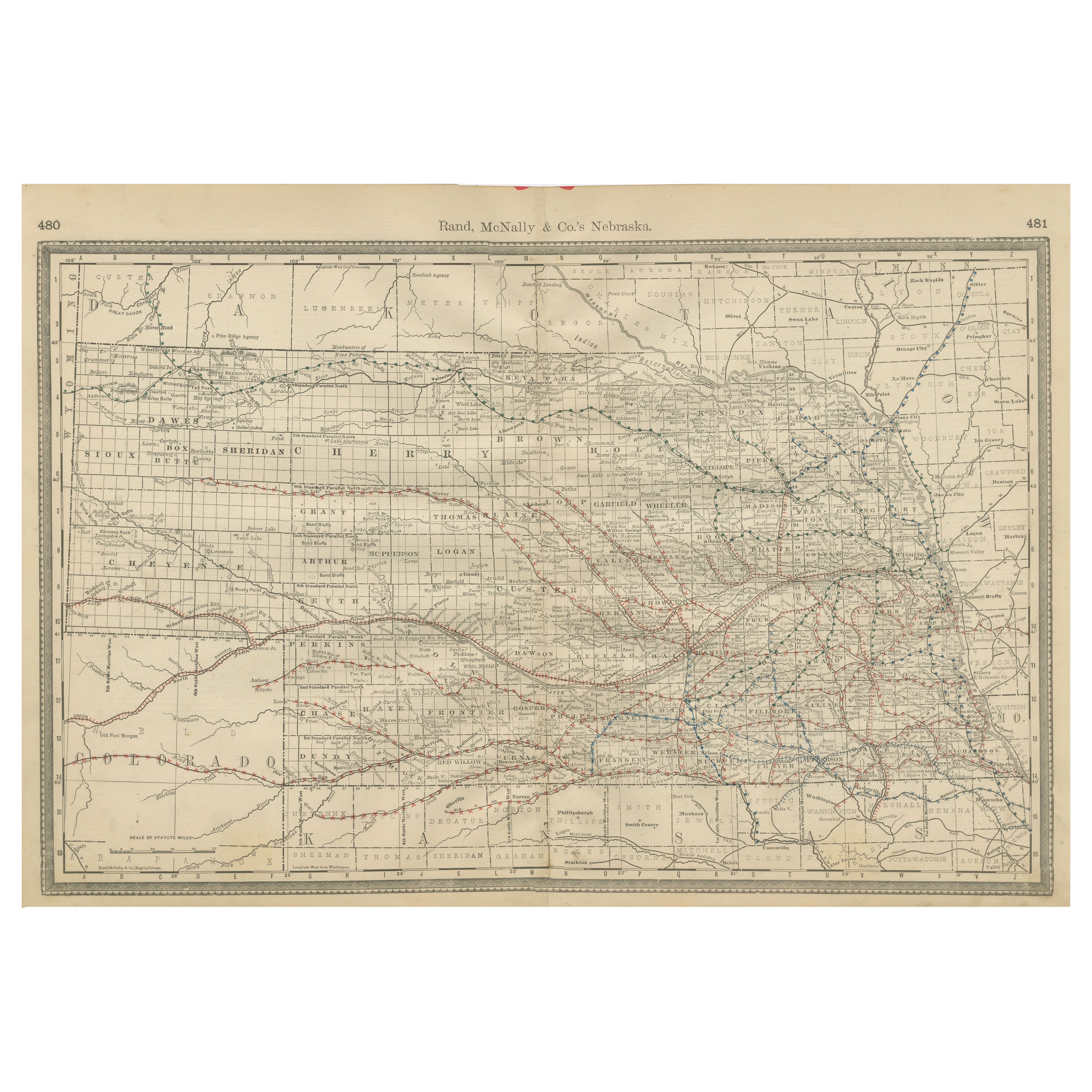
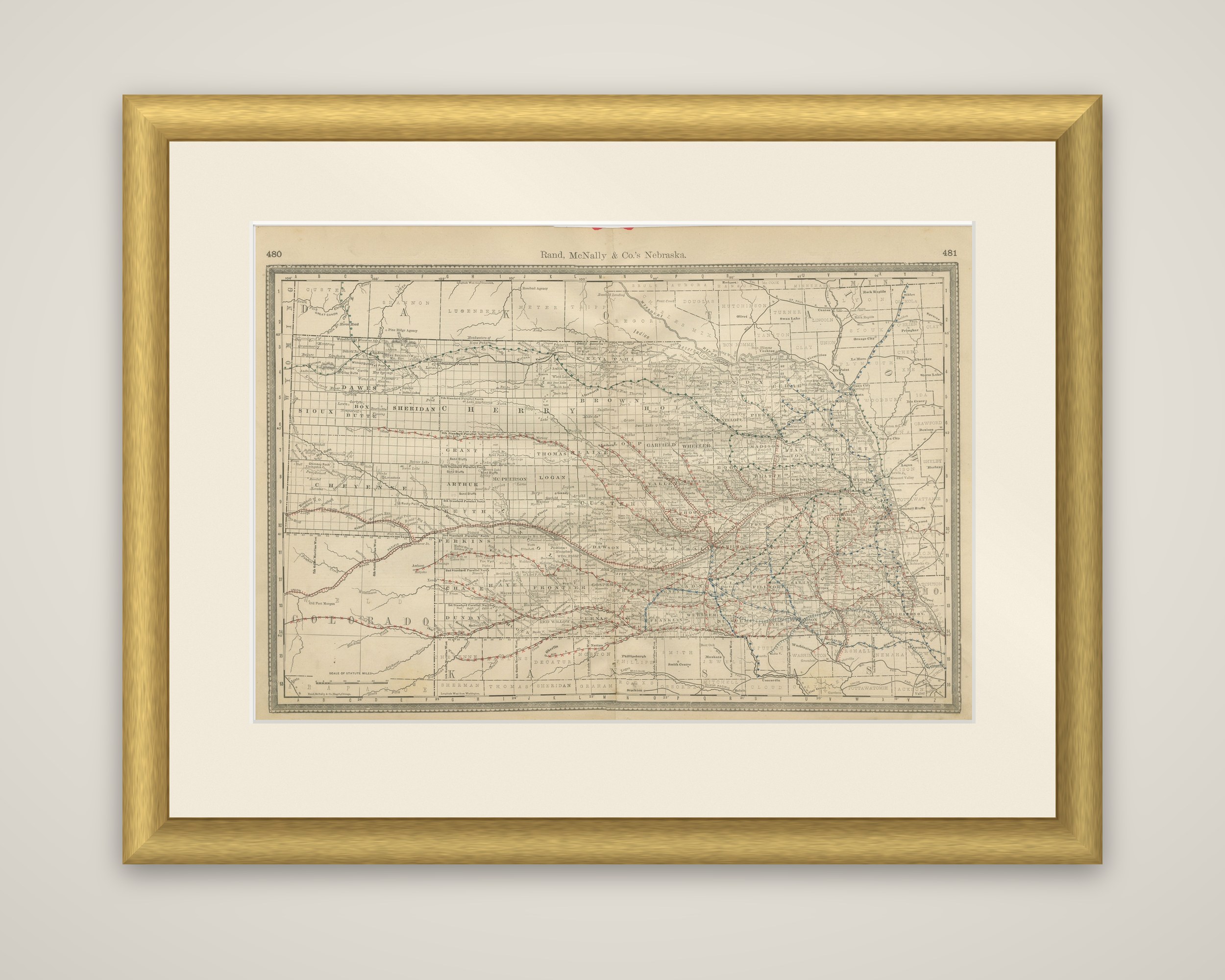
Nebraska in 1888 on an original map by Rand, McNally & Co., printed in black on toned paper with railroad lines overprinted in red and blue. The running head "Rand, McNally & Co.'s Nebraska" runs along the top between atlas page numbers 480 and 481, and a scale of statute miles is given at the lower left.
The state is drawn on a wide landscape sheet with every county outlined, from the large, thinly settled western counties of Sioux, Dawes, Sheridan, Cherry and Cheyenne to the smaller, more regular divisions of the east. Railroad lines run in long parallel bands along the Platte valley and fan out thickly across the eastern third toward Omaha and Lincoln, with branches reaching northwest. Dakota lies above the northern boundary, Colorado to the southwest and Kansas to the south, each lettered at the margin.
The railroad network is the subject of the sheet. By the late 1880s lines of the Union Pacific and its competitors had opened Nebraska's farmland to settlement, and the map shows how quickly the rail grid had filled the state, which had entered the Union in 1867.