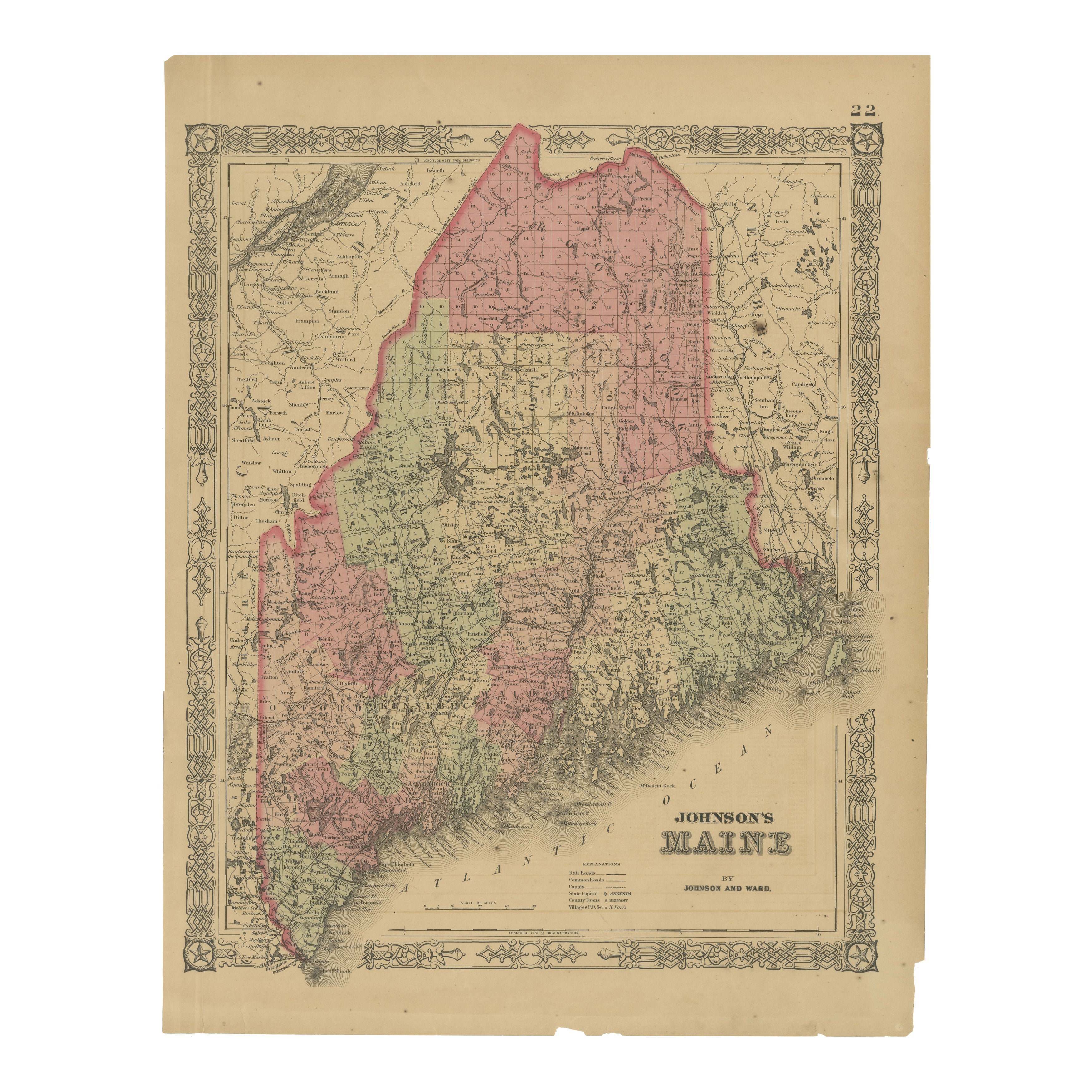
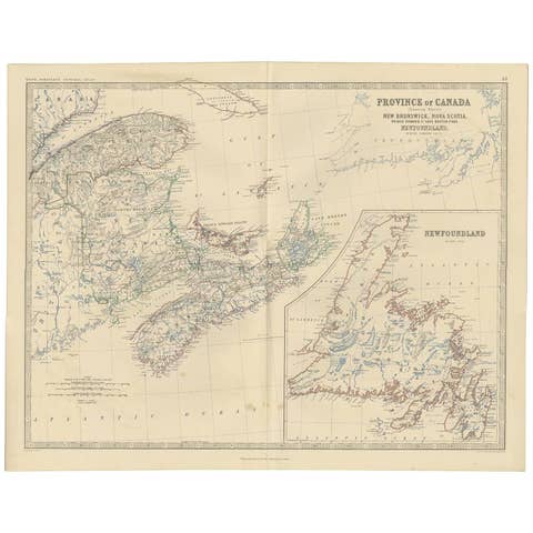
Maine County Map – Johnson, Hand-Colored, USA c.1864
€ 270
One of a kind: this is the sheet in the photographs. Ships from Langweer, the Netherlands.
Date
1864
Sheet size
45.7 × 35.7 cm (18.0 × 14.1 in)
Condition
Fair
Reference
BG-13952-35
Condition
Fair to good condition. Strong impression with bright original hand coloring. Light general age toning and minor marginal spots or handling marks typical for antique atlas maps. Small edge nicks at outer margisn, but outside printed area.
About this sheet
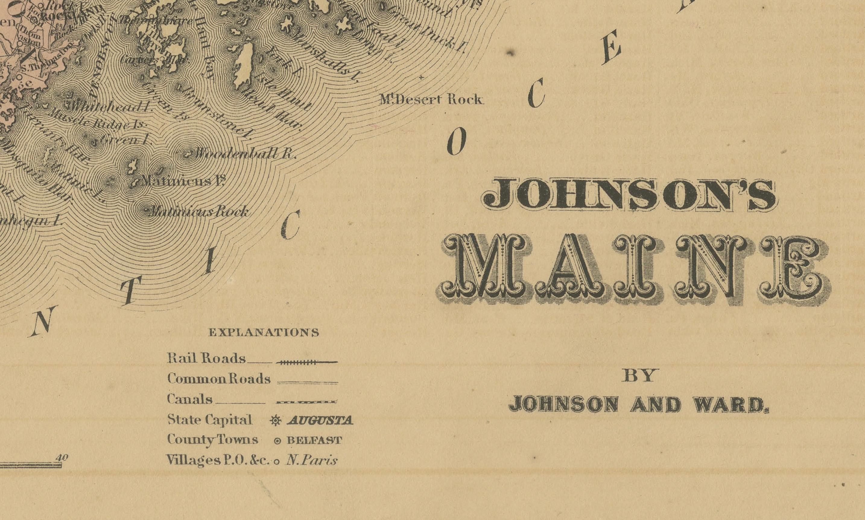
Johnson’s Maine Map, USA Published c.1864 – Hand-Colored County Map
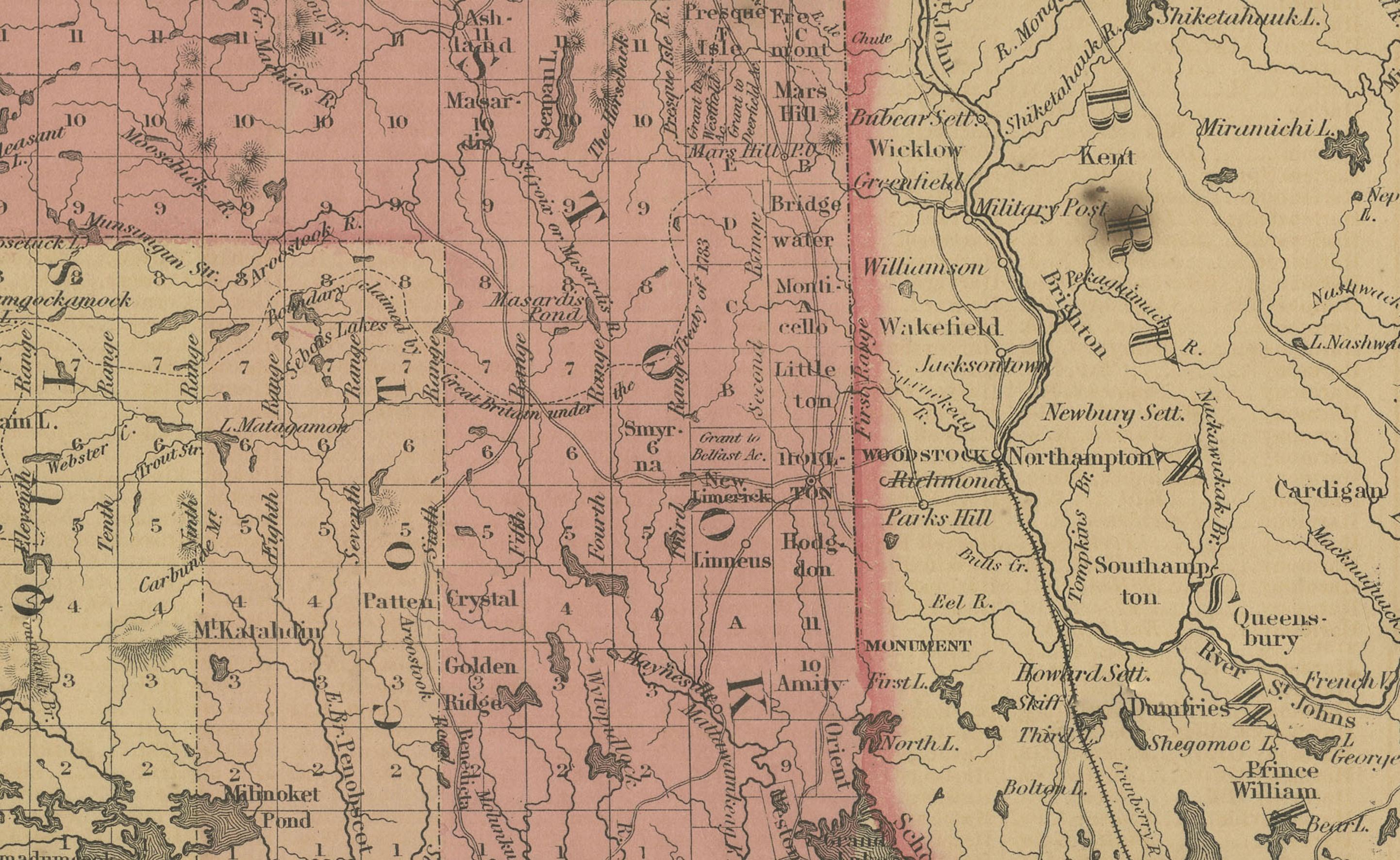
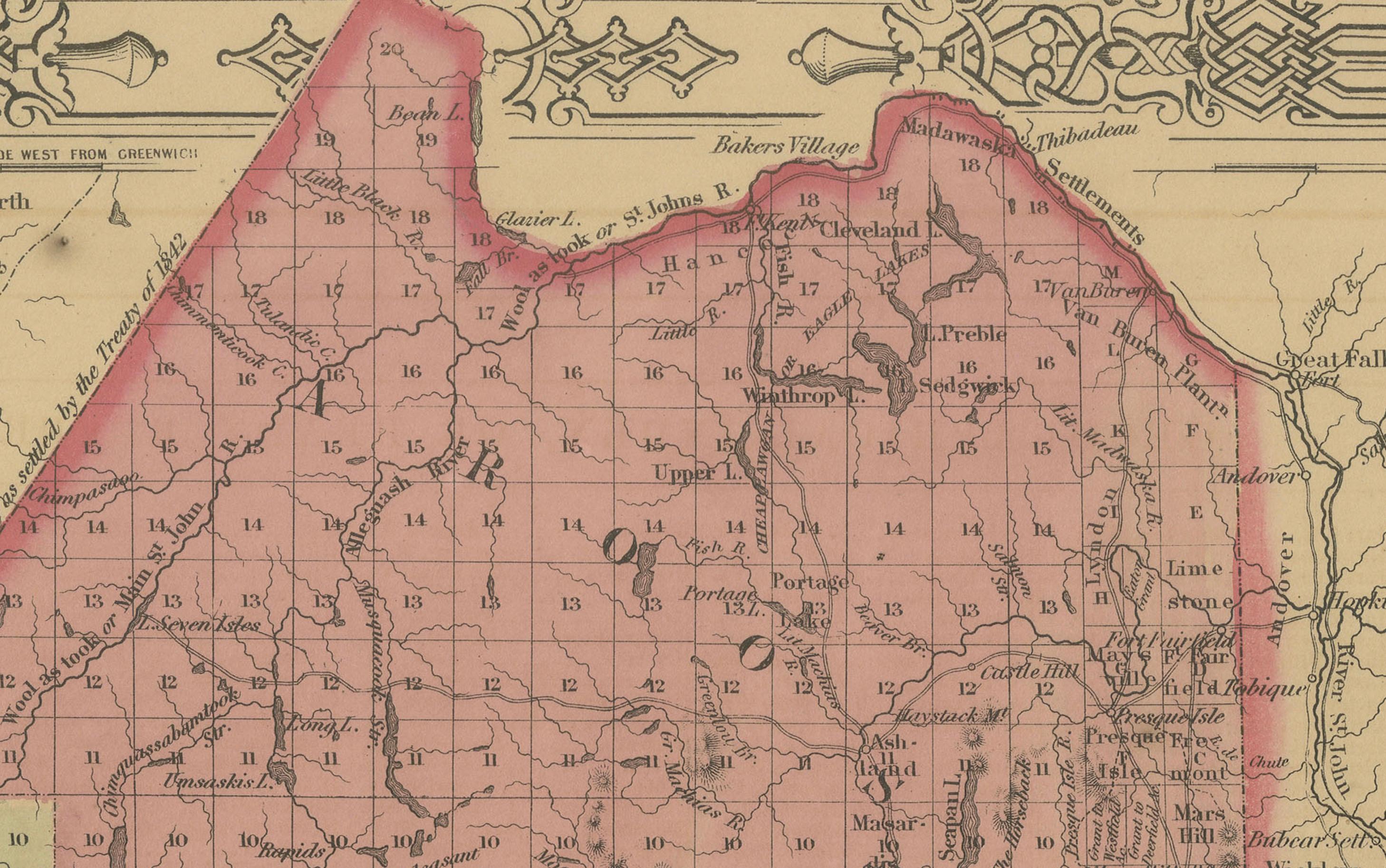
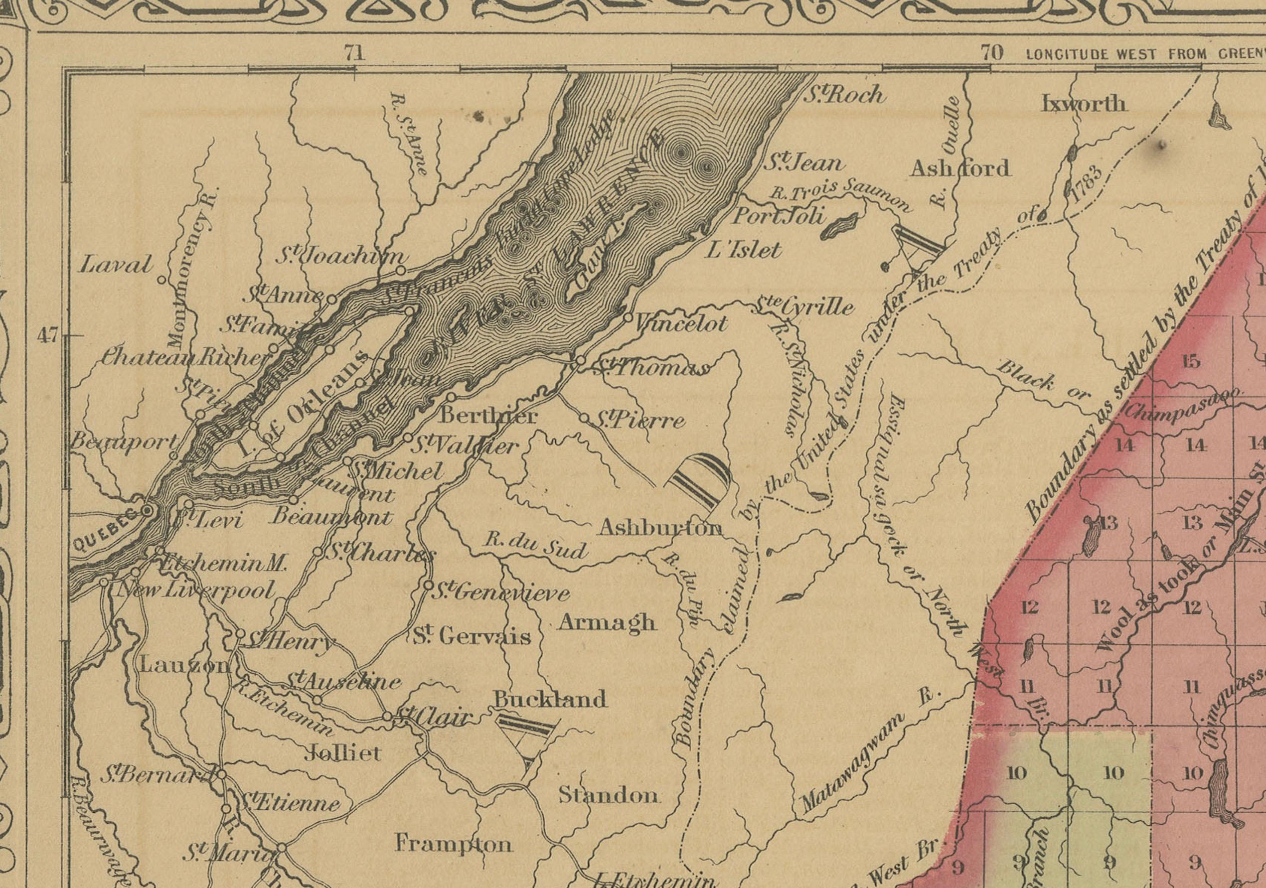
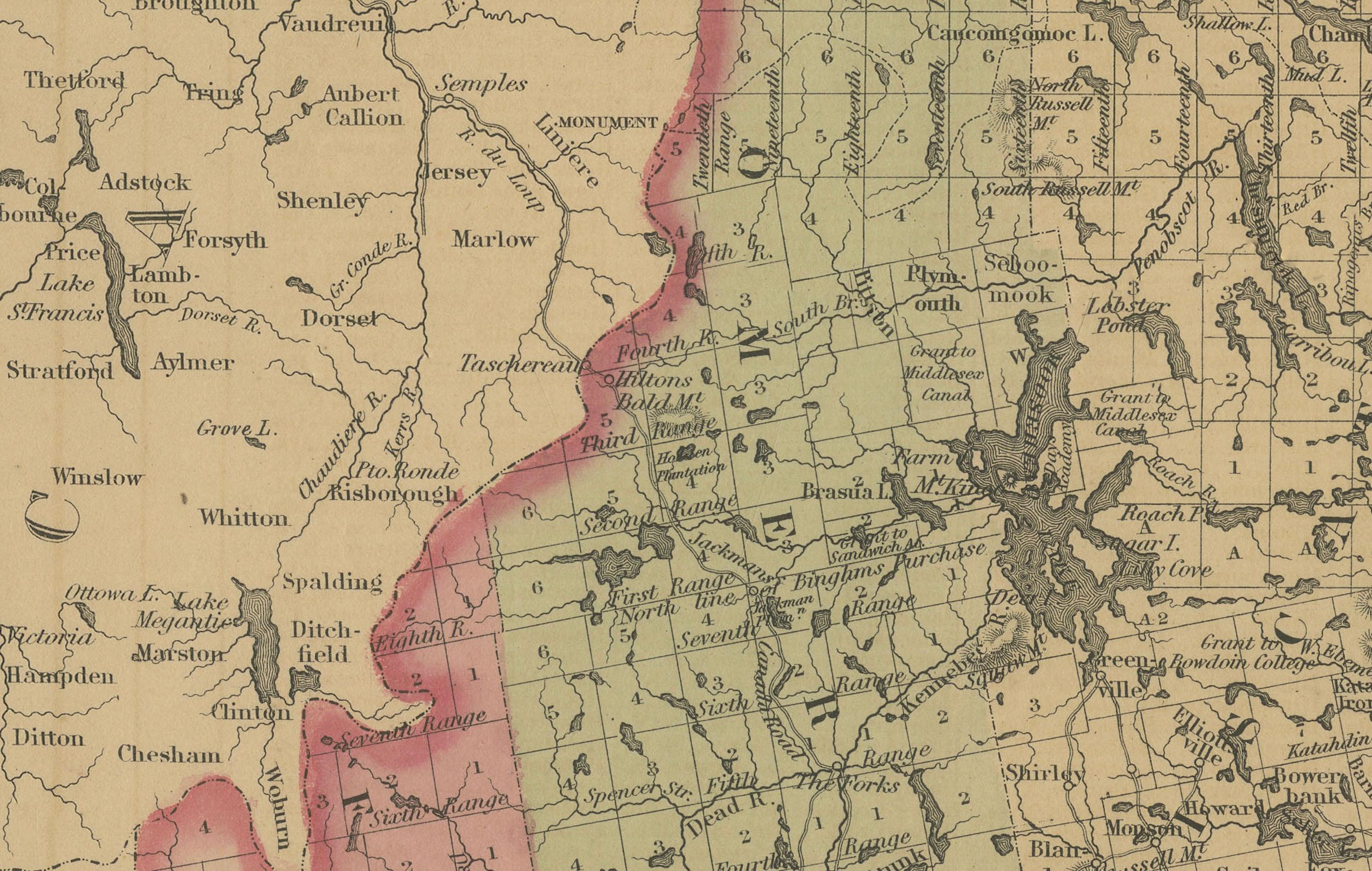
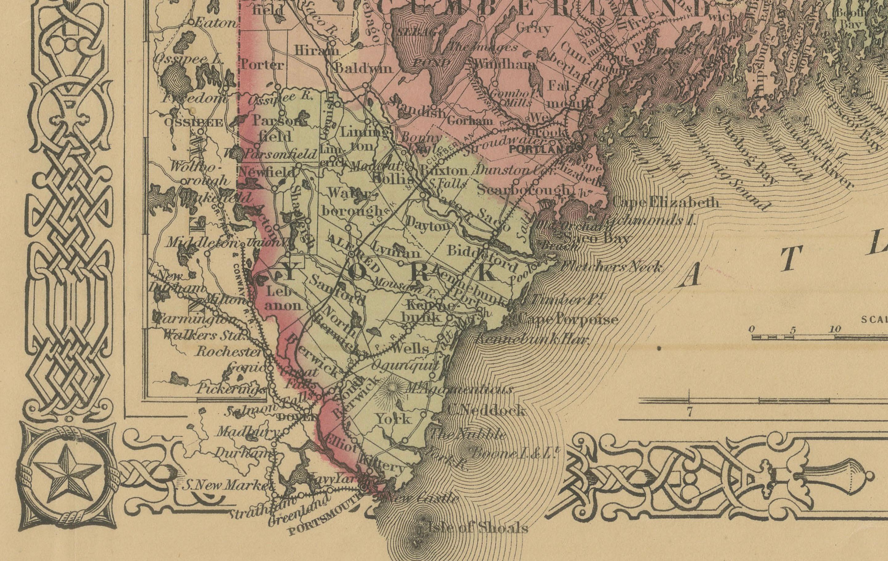
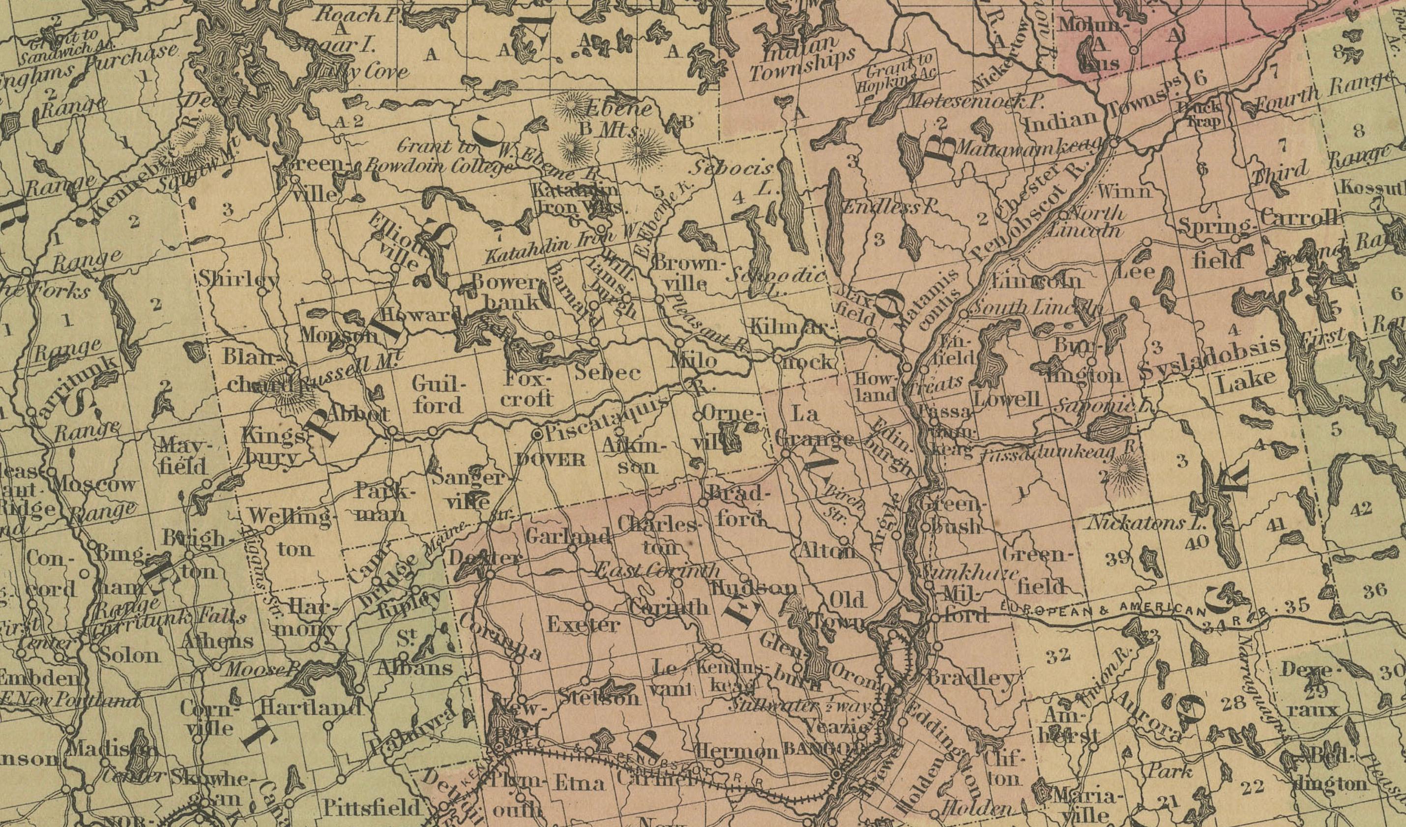
This is a finely engraved and hand-colored map titled Johnson’s Maine, published by Johnson and Ward in New York circa 1864. It shows the state of Maine in detail, with counties shaded in pastel pink and green colors. The map clearly labels towns, cities, counties, railroads, rivers, lakes, and topographical features.
Major towns and cities such as Portland, Augusta, Bangor, and Bath are marked, along with extensive river systems and the rugged coastline dotted with islands. Railroads are indicated with fine black lines, reflecting the development of transportation infrastructure in mid-19th century Maine. County boundaries are outlined in red for clarity.
The map is surrounded by Johnson’s distinctive decorative border with interlaced geometric and floral motifs, adding to its aesthetic appeal. Johnson and Ward were leading American atlas publishers during this period, known for combining accurate cartographic detail with decorative presentation. Their state maps remain highly collectible for their historical detail, clear layout, and artistic framing, making them ideal for Americana collections or interior decoration.
Condition report:
Fair to good condition. Strong impression with bright original hand coloring. Light general age toning and minor marginal spots or handling marks typical for antique atlas maps. Small edge nicks at outer margisn, but outside printed area. Wide margins and plate mark intact.
Framing suggestion:
Frame with a simple dark wood or black frame and an archival off-white or cream mat to highlight the pastel coloring and decorative border. Use UV-protective glass to preserve paper quality and prevent fading.