About this sheet
Kansas Railroad Map 1888 – Rand McNally Antique Lithograph
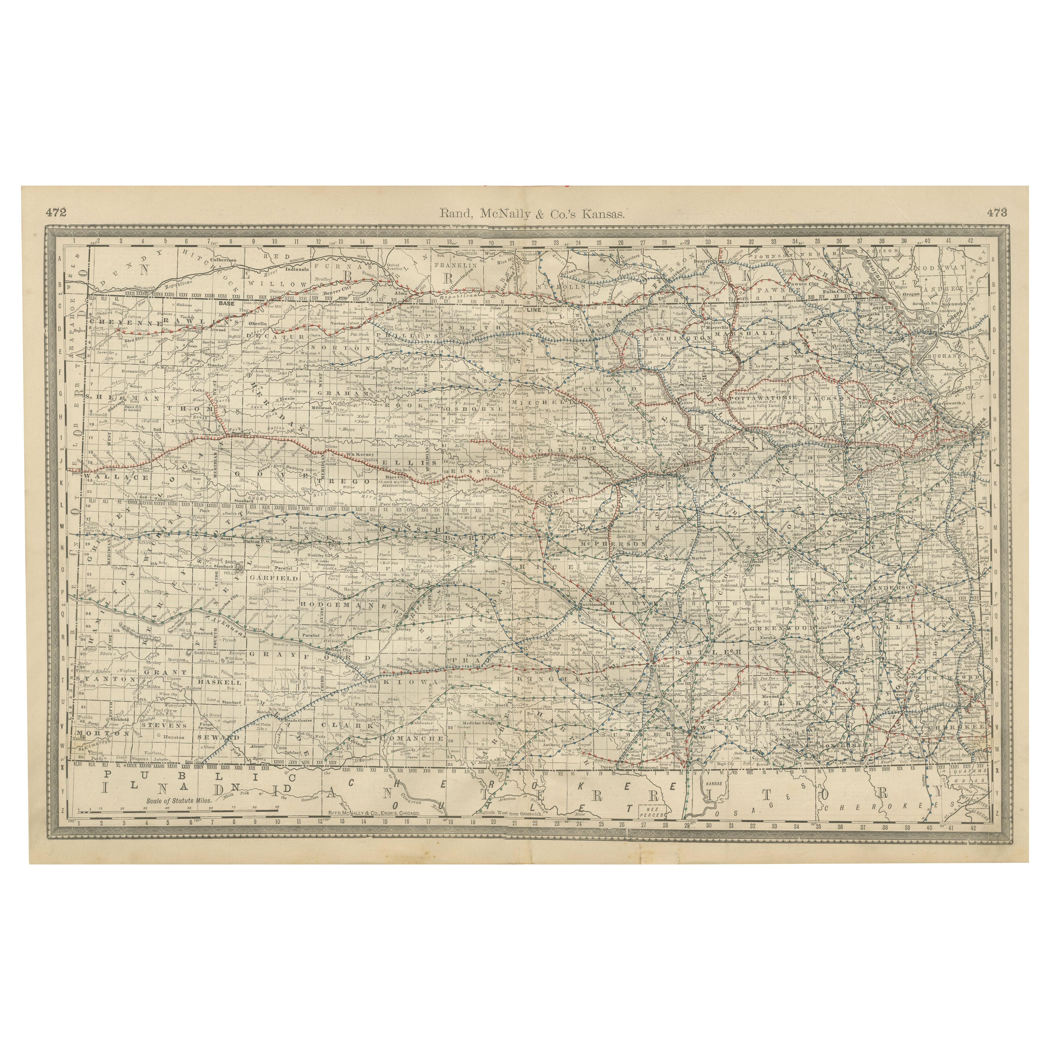
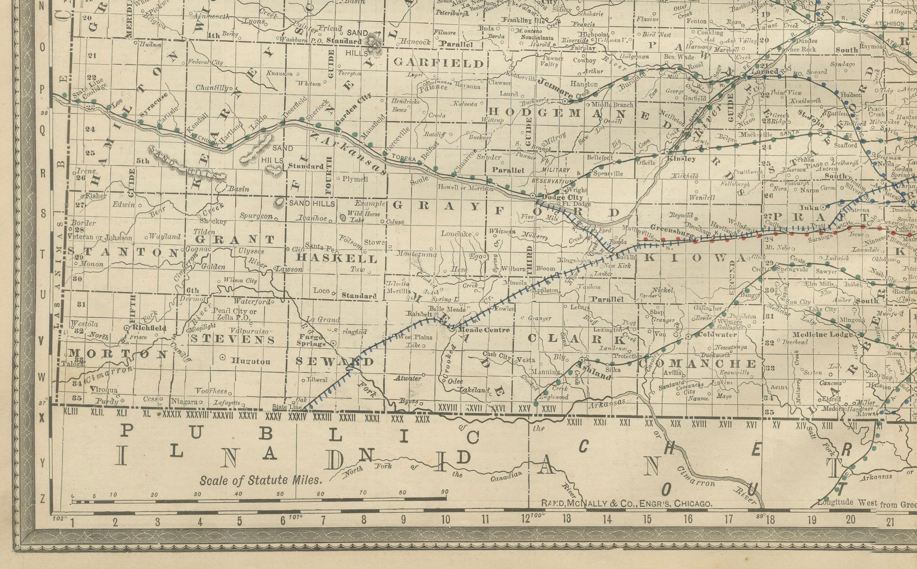
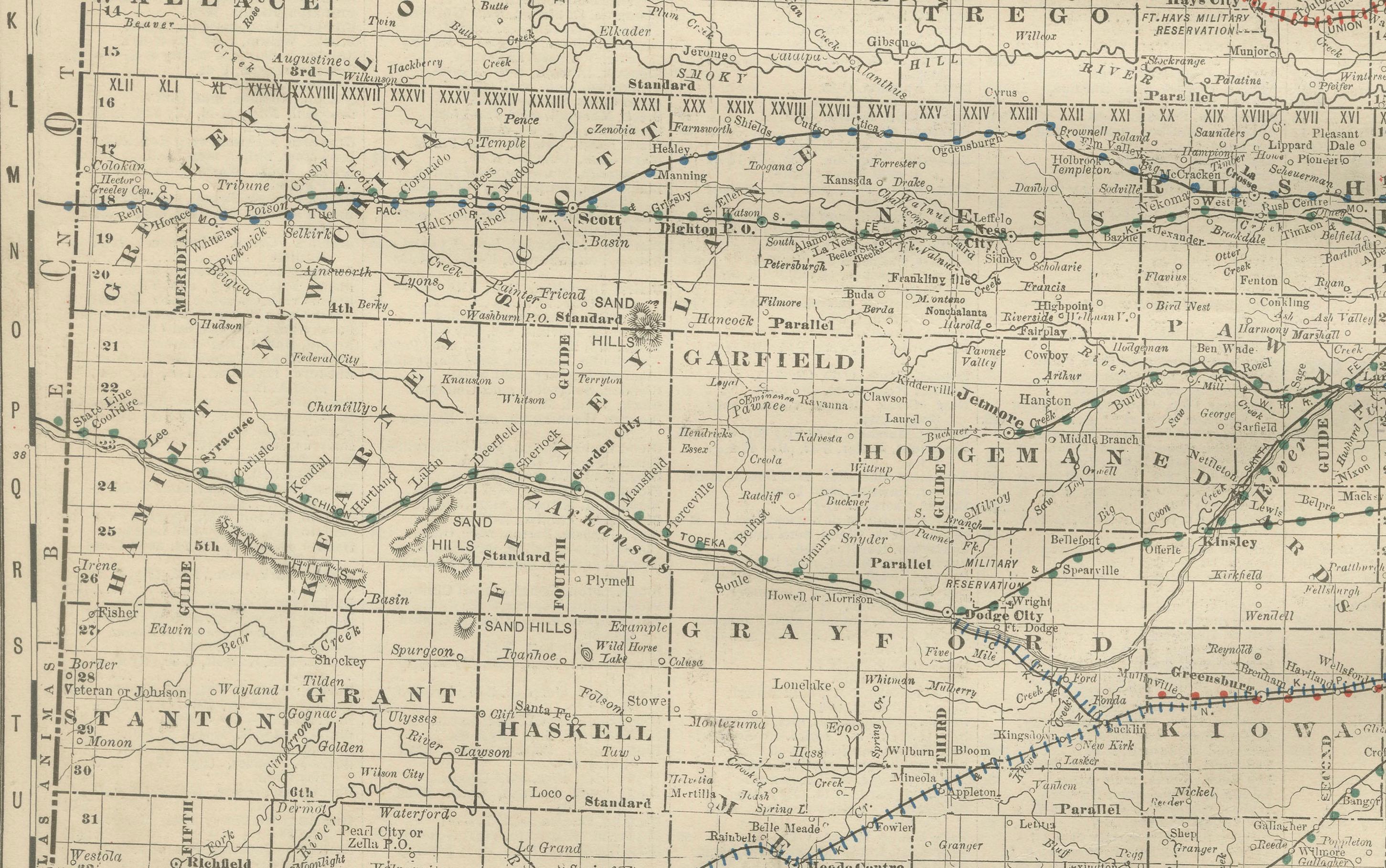
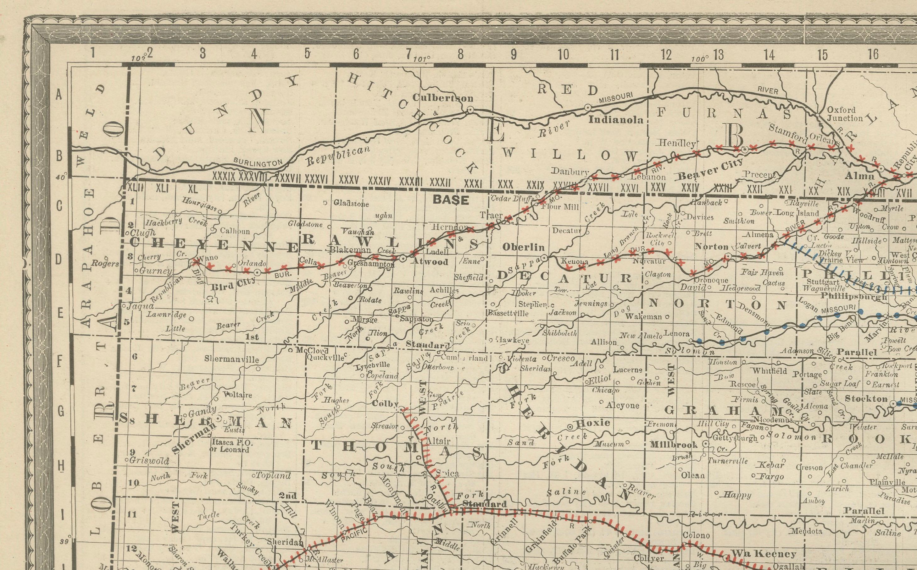
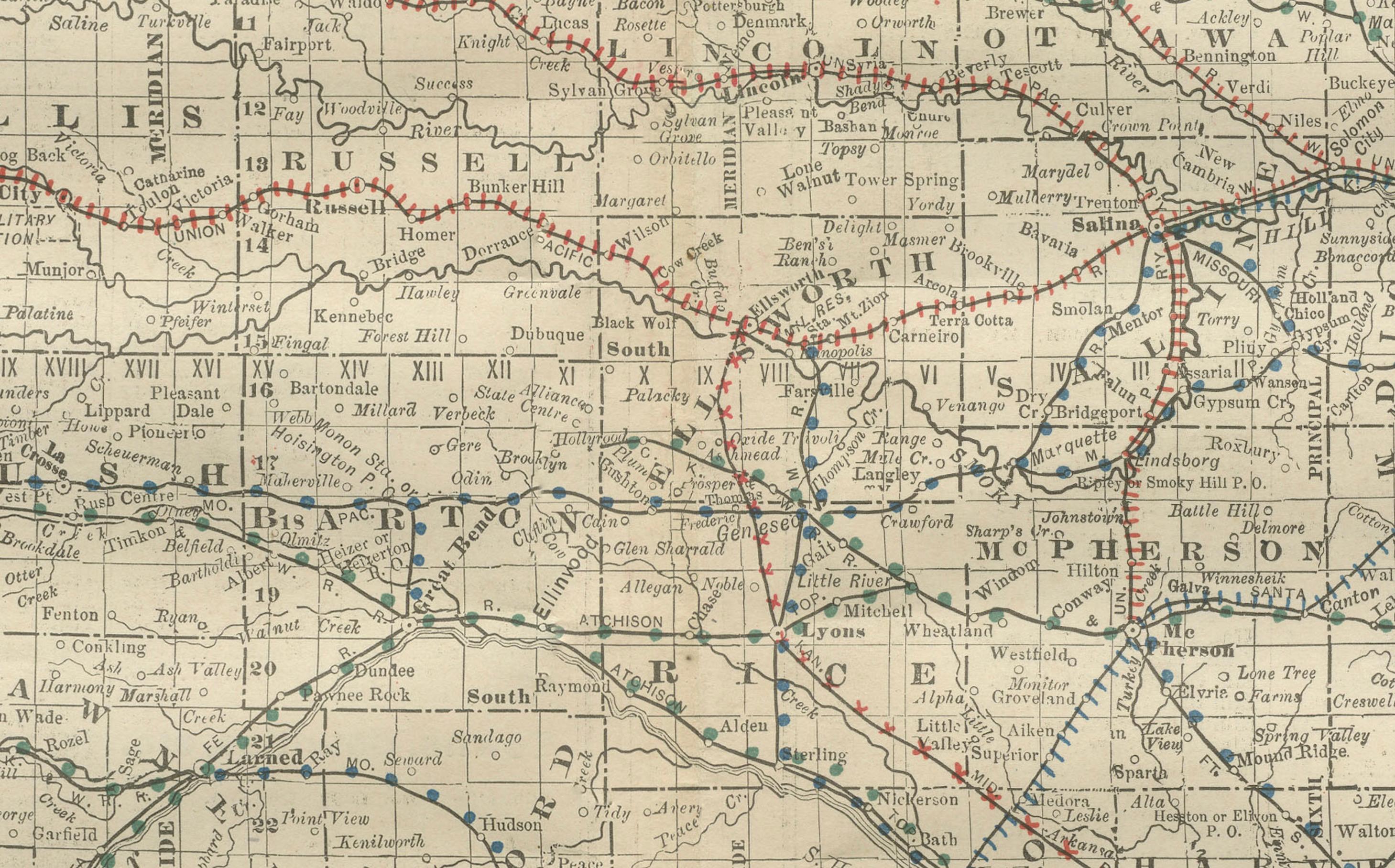
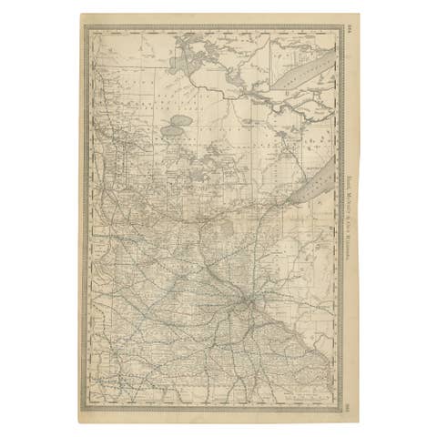
This antique 1888 map of Kansas by Rand, McNally & Co. offers a detailed view of the state during a period of rapid expansion and settlement in the late 19th century. The map emphasizes the dense railroad network that defined Kansas’s economy, linking its agricultural heartland with major trade centers across the Midwest and beyond.
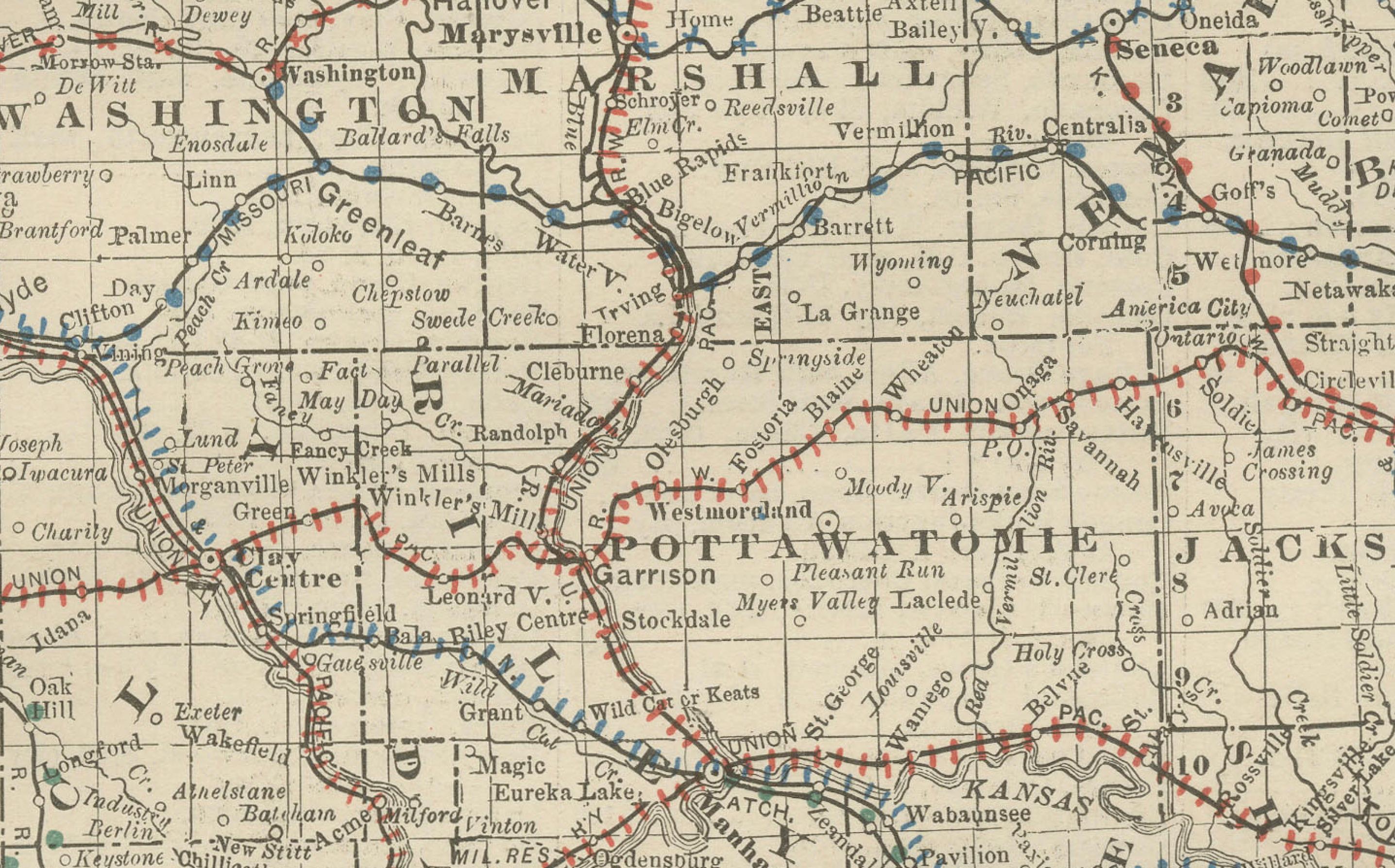
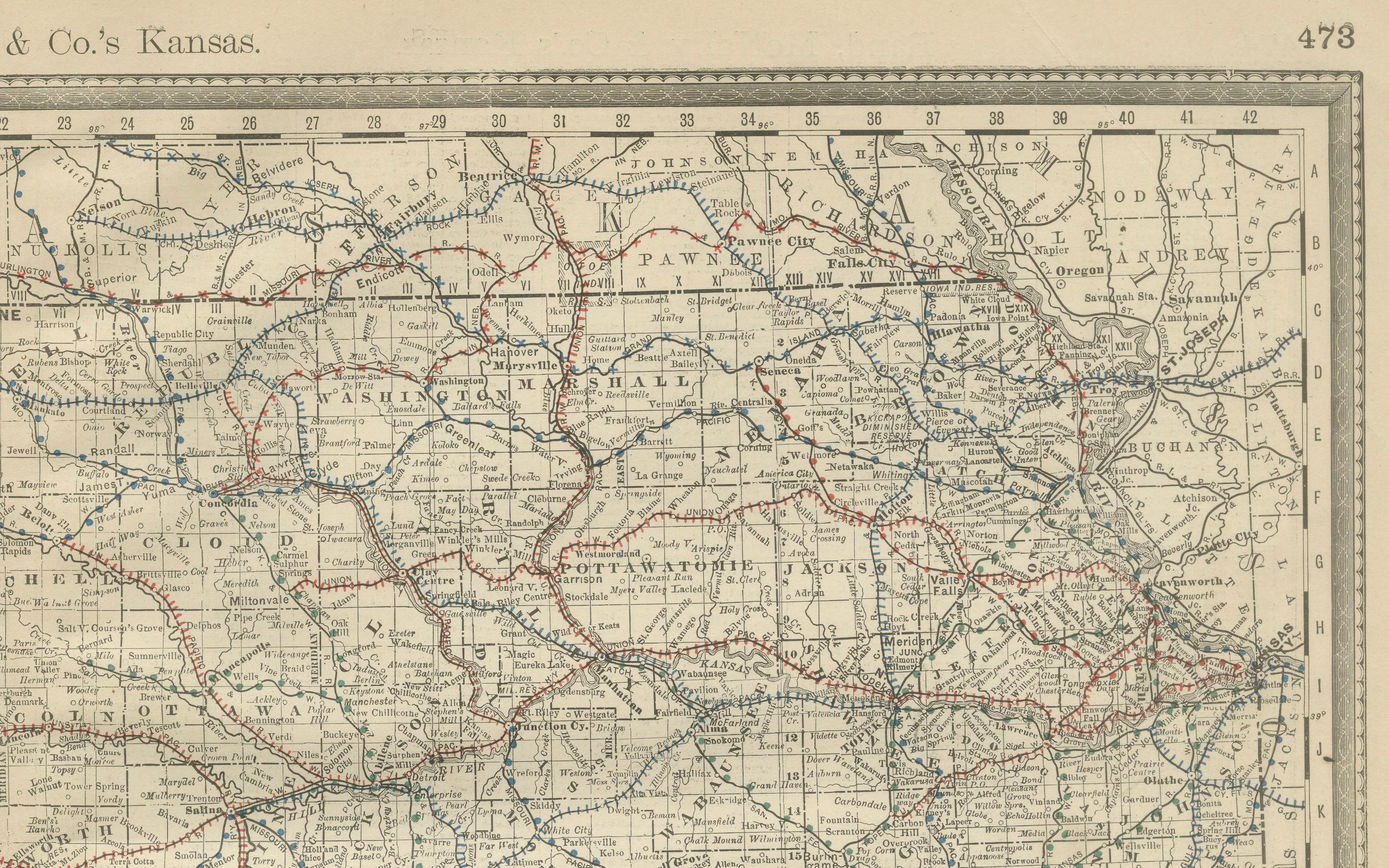
Every county, township, and settlement is carefully engraved, from major urban centers such as Topeka, Wichita, and Kansas City to the countless small towns and railway depots that dotted the plains. The state’s counties are clearly delineated, showing both the older, more developed eastern half and the relatively new western counties like Greeley, Wichita, and Stanton, which had only recently been organized. The map reflects the subdivision of Kansas into a patchwork of agricultural lands, essential for the state’s role in supplying grain and livestock to the growing nation.
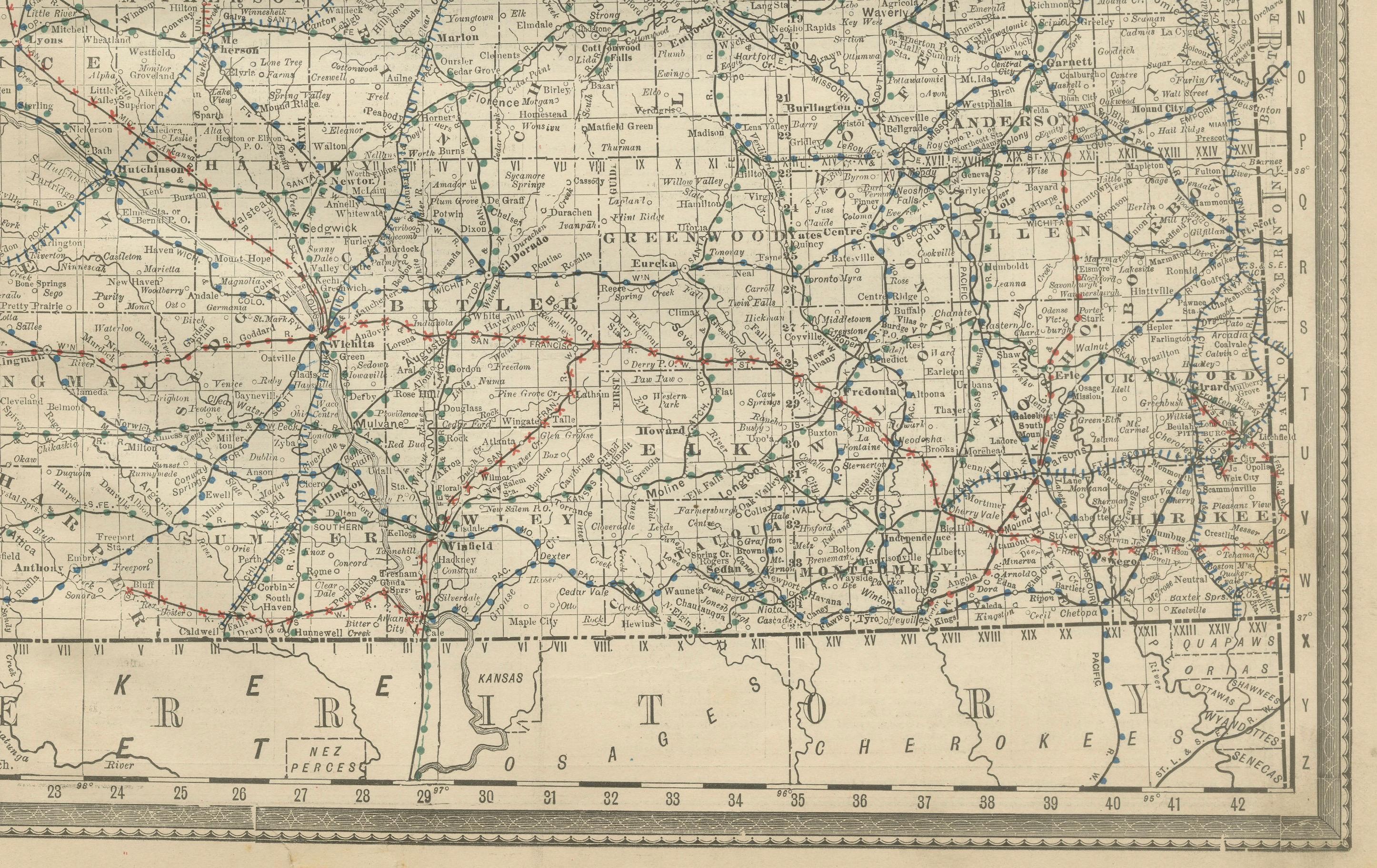
Railroads are shown with great clarity, using red and blue lines to distinguish between major lines. Prominent among them are the Atchison, Topeka & Santa Fe Railway, the Union Pacific, and the Missouri Pacific, whose lines crisscrossed the state and extended outward toward Colorado, New Mexico, and Texas. Kansas was a crucial crossroads in America’s railroad expansion, and this map captures that pivotal role.
The map also highlights Kansas’s position at the edge of the frontier. In the far west, the counties bordering Colorado reveal sparse settlement, a reminder of the region’s recent transformation from open prairie and Native American lands to farmland and small towns. The southern boundary with Indian Territory (present-day Oklahoma) is marked, showing Kansas as a borderland between the older Midwest and the expanding western territories.
Produced by Rand, McNally & Co., one of the leading cartographic firms of the period, this map is both historically significant and artistically precise. It is a valuable artifact for collectors of railroad history, Midwest maps, or the history of westward expansion in the United States.
Condition: Good, with mild toning and foxing, particularly along the lower margin. Slight edge wear consistent with age. Paper strong, with plate mark faintly visible. No major tears.
Framing tips: A black or walnut frame with a cream mat will bring out the fine line detail. For added emphasis on the railroad colors, a double mat with a subtle red or blue under-mat is recommended.
Technique: Lithograph with printed color
Maker: Rand, McNally & Co., Chicago, 1888