Antique Maps
5,418 original sheets
Europe 3023Asia 1110Africa 236America 548Australia & Oceania 159World Maps 111Sea Charts 209Celestial Maps 22
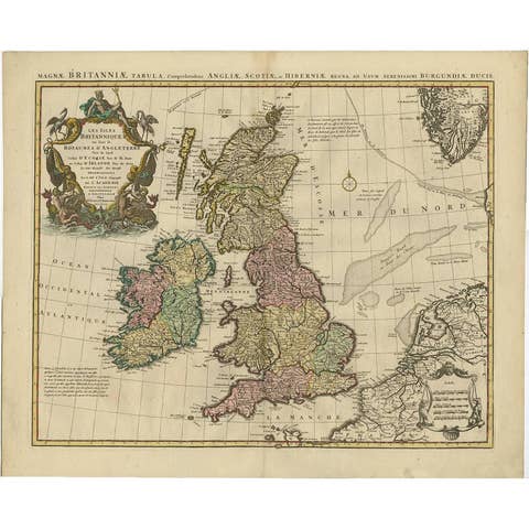
Antique Map 'Colored Cartouches' of the British Isles by Covens & Mortier ‘1761’
1761 · € 670
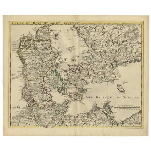
Denmark and Baltic Region – Antique Map by Guillaume de l’Isle, c.1730
1730 · € 590
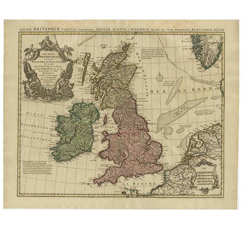
Antique Map of the British Isles by Covens & Mortier, 1730
1730 · € 650
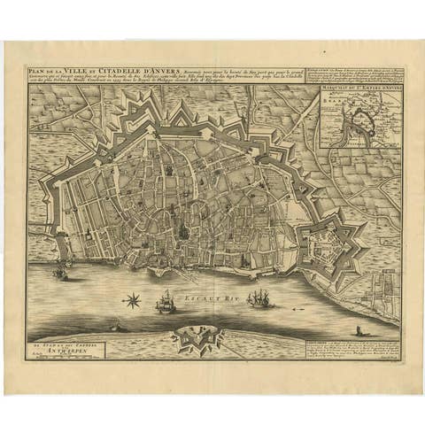
Antique Map of the City of Antwerpen ‘Belgium’ by A. Deur, 1729
1729 · € 770
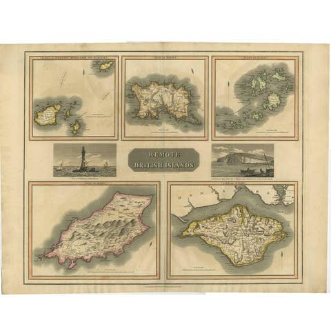
Antique Map of the British Islands by J. Thomson, 1817
1817 · € 190
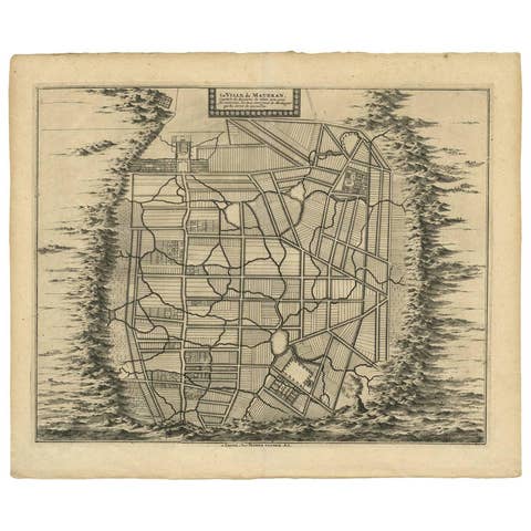
Antique Map of the City of Materan 'Indonesia' by P. van der Aa, circa 1725
1725 · € 395
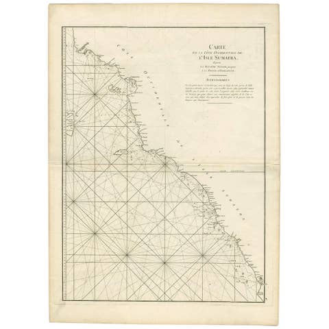
1745 Antique Coastal Map of West Sumatra by J. Mannevillette
1745 · € 332
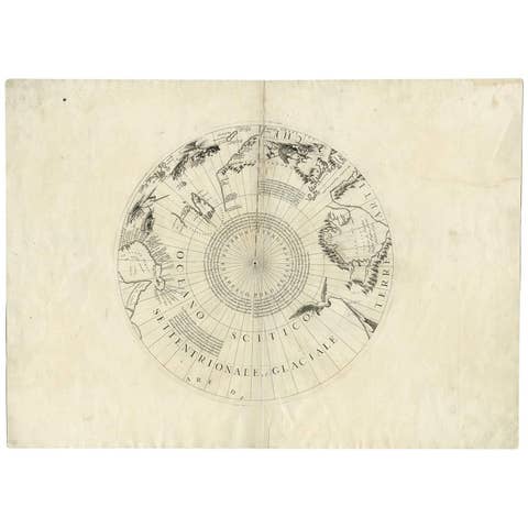
Greenland & the North Pole – Antique Polar Map by V.M. Coronelli, c.1692
1692 · € 1 290
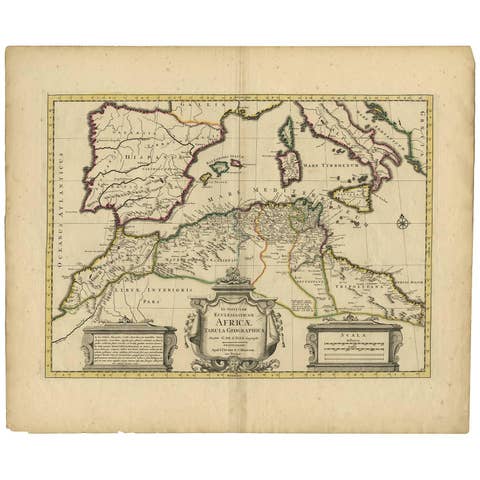
Antique Map of the Northern Coast of Africa and Southern Europe, circa 1745
1745 · € 320
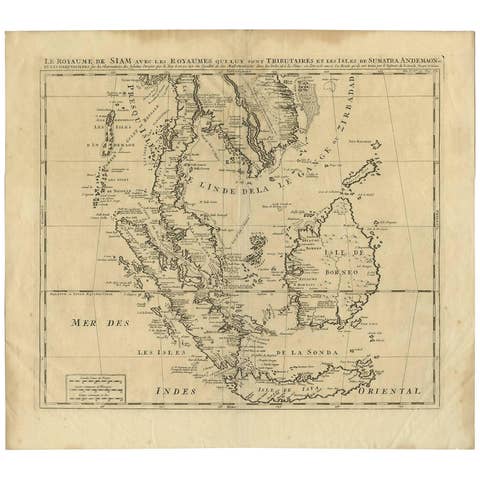
Antique Map of Southeast Asia by H. Chatelain, circa 1720
1720 · € 1 450
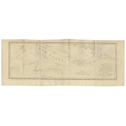
Antique Map of New Guinea and New Britain by P. Carteret, circa 1773
1773 · € 550
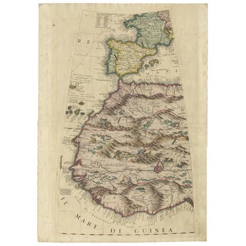
Rare Antique Map of Southwestern Europe and West Africa by V.M. Coronelli, 1692
1692 · € 2 450
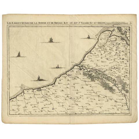
Antique Map: Estuaries of the Somme & Bresle, Northern France & Netherlands
€ 600
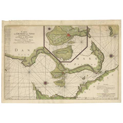
Antique Map: Carte du Détroit du Sond with Copenhagen Inset, 1693
1693 · € 2 250
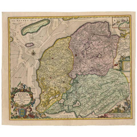
Antique Map: Friesland and Terschelling with Inset Isles, by Visscher II, 1670
1670 · € 975
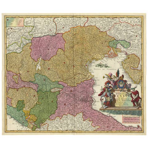
Stunning Antique Map of Northern Italy by J.B. Homann, circa 1745
1745 · € 960
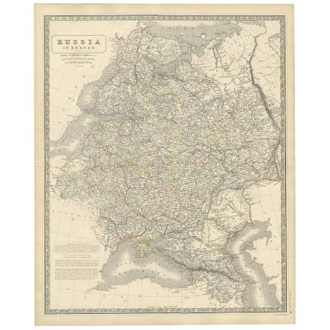
Antique Map of Russia 'in Europe' by W. & A.K. Johnston, circa 1850
1850 · € 240
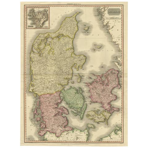
Denmark – Large Format Antique Map by Pinkerton, Fine English Engraving c.1814
1814 · € 308
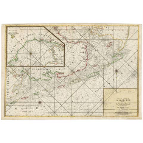
Large Sea Chart of the Zuyder Zee & The Northsea with the Wadden Islands, 1773
1773 · € 1 750
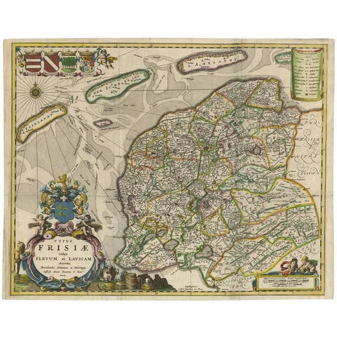
Antique Map of Friesland 'The Netherlands' by B. Schotanus, 1664
1664 · € 1 675
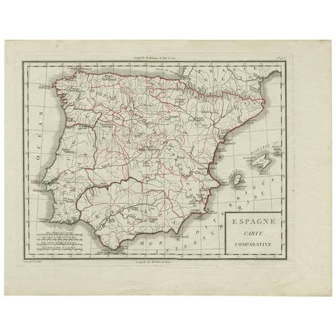
Antique Map of Spain by P.F. Tardieu, circa 1798
1798 · € 175
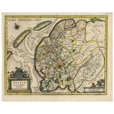
Original Antique Hand-Colored Map of Friesland by C. Merian, 1659
1659 · € 380
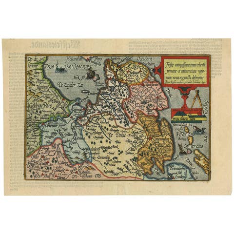
Antique Map of Friesland 'The Netherlands' by J. Bussemacher, 1596
1596 · € 580
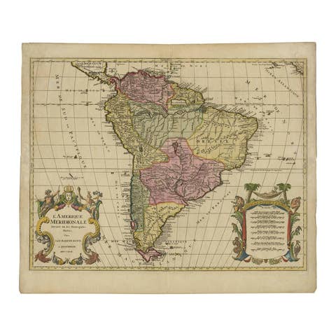
Map of South America 1792 by Elwe – Hand-Colored Antique Dutch Engraving
1792 · € 1 700
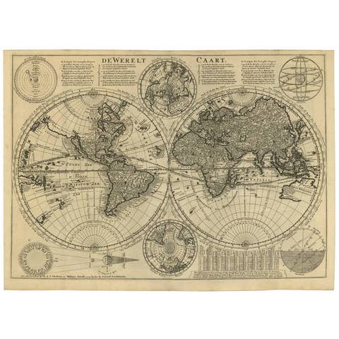
Mid-18th Century Antique World Map by R. & J. Wetstein, Netherlands
€ 2 500
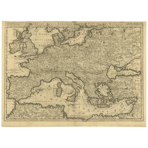
Rare Antique Bible Map of Southern Europe by A. Schut, 1743
1743 · € 851
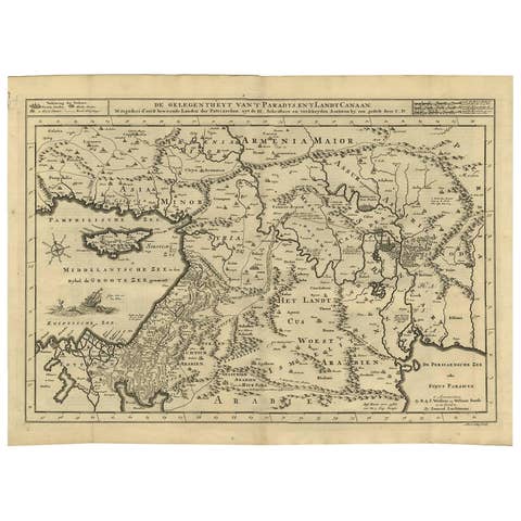
Antique Bible Map of the Middle East by A. Schut, 1743
1743 · € 505
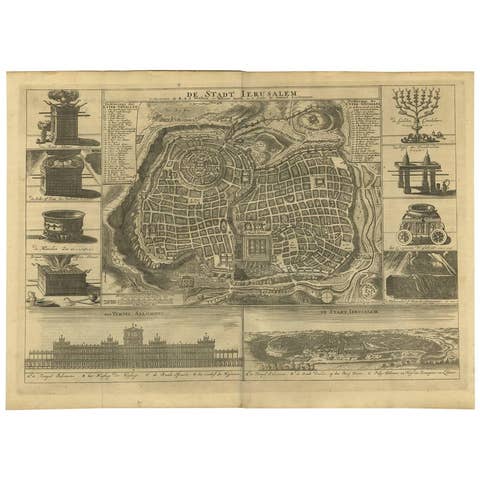
Antique Bible Plan of Ancient Jerusalem, 1743
1743 · € 1 142
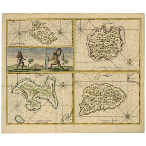
Antique Map of Manipa, Nusa-Laut, Saparua & Haruku 'Indonesia' by F. Valentijn
€ 850
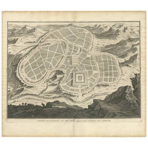
Antique Map of the Ancient City of Jerusalem by A. Calmet, 1725
1725 · € 360

Antique Map of France by T. Bowen, Paper Engraving, Late 18th Century
€ 270
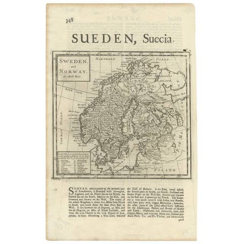
Antique Map of Sweden and Norway by H. Moll, circa 1715
1715 · € 370
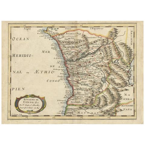
Antique Map of the Congo, Gabon and Angola by N. Sanson, circa 1700
1700 · € 259
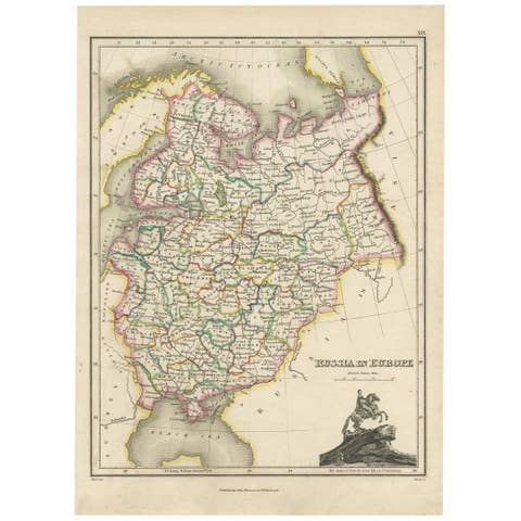
Antique Map of Russia in Europe by J. Thomson, Engraved Detail, 1819
1819 · € 266
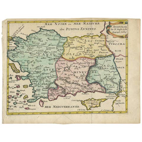
Antique Map of Turkey with Cyprus and Greece Islands by N. Sanson, circa 1652
1652 · € 284
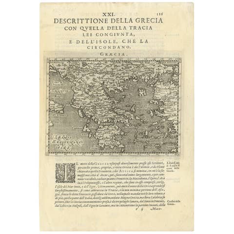
Rare Original 16th Century Antique Map of Greece, 1598
1598 · € 360

Antique Copper Engraved Map of Scandinavia by Thomas Jefferys, 1750
1750 · € 190

Antique Map of Russia in Europe by T. Kitchin, circa 1770
1770 · € 160
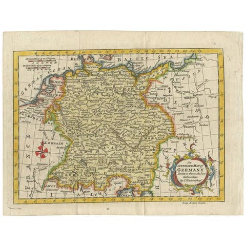
Antique Map of Germany by T. Kitchin, circa 1770
1770 · € 330
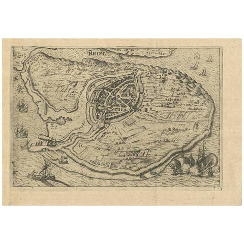
Antique Map of Brielle, Netherlands by L. Guicciardini, 1625 Edition
1625 · € 180
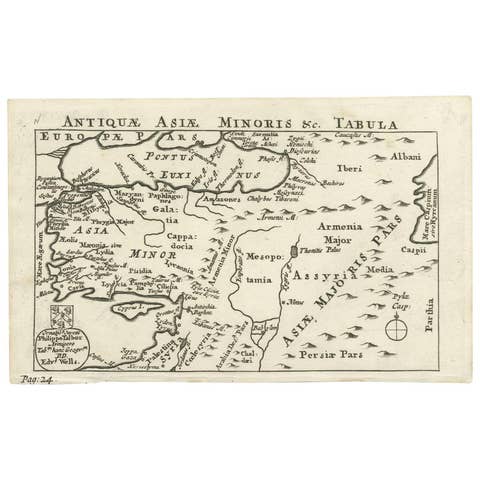
Antique Map of Asia Minor by Philippo Talbor, Edward Wells, Circa 1718
1718 · € 240
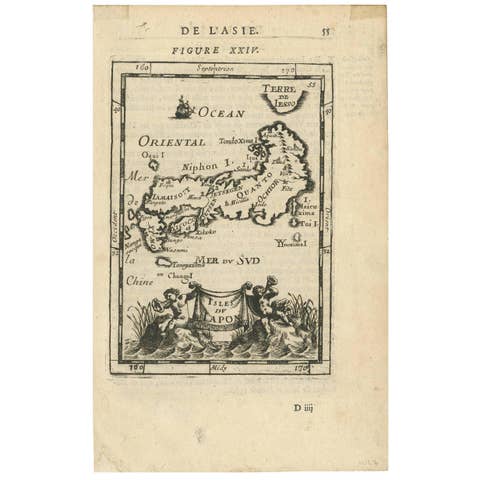
Antique Map of Japan by Allain Manesson Mallet, France, 1683
1683 · € 290
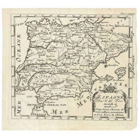
Antique 1700 Map of Spain by Nicolas de Fer, Early 18th Century
1700 · € 160
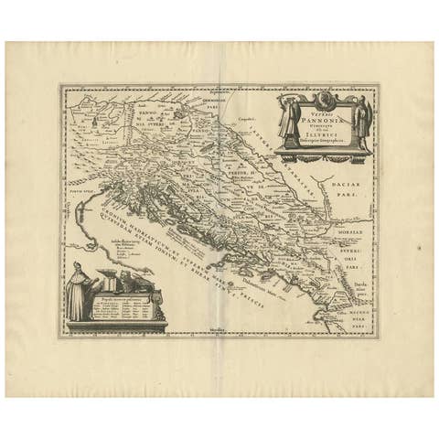
Antique Map of the Adriatic Sea and the Balkan by J. Janssonius, circa 1650
1650 · € 704
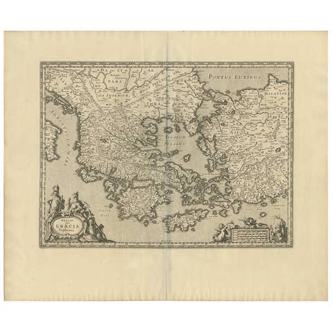
Antique Map of Greece by J. Jansson, circa 1653
1653 · € 880
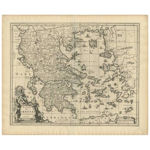
Antique 1698 Map of Greece by Carolus Allard, Late 17th Century
1698 · € 800
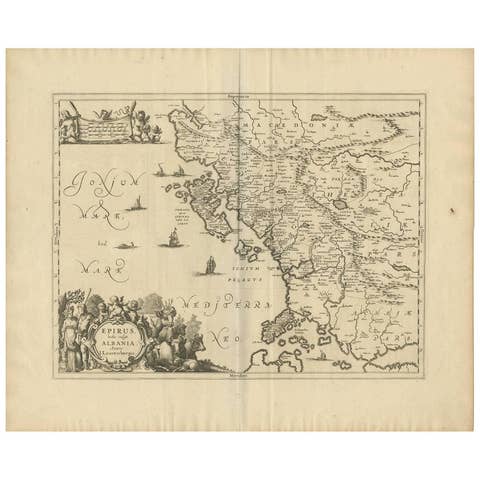
Antique Map of Epirus 'Albania, Greece' by J. Janssonius, circa 1650
1650 · € 515
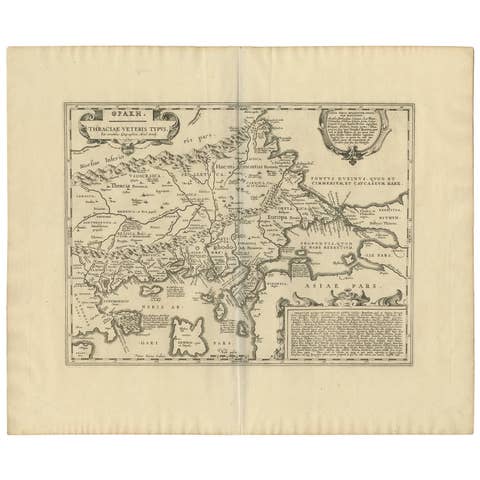
Antique Map of Thracia ‘Greece’ by J. Janssonius, circa 1650
1650 · € 850