About this sheet
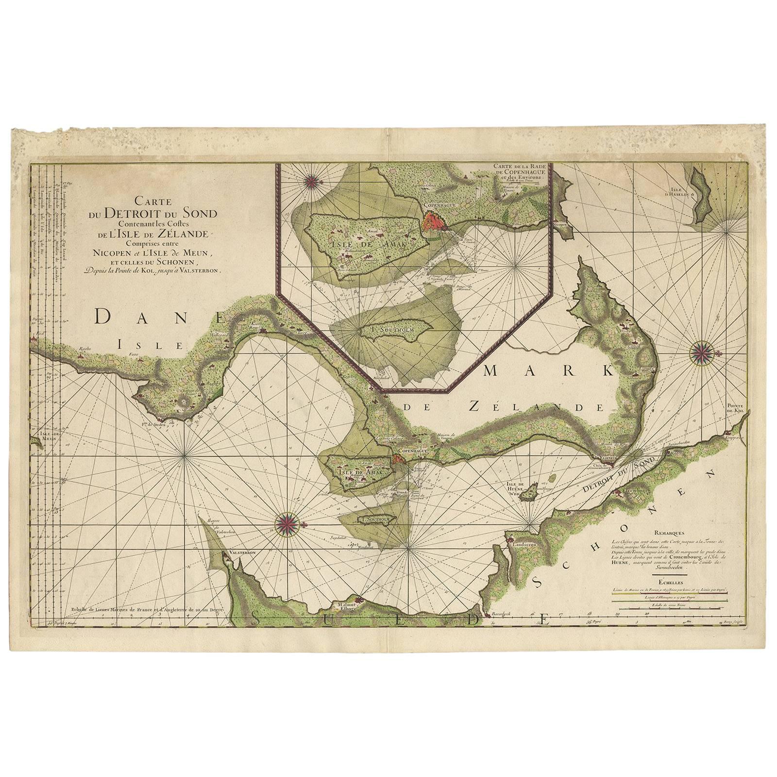
Antique Map: Carte du Détroit du Sond with Copenhagen Inset, Jaillot/Mortier, 1693
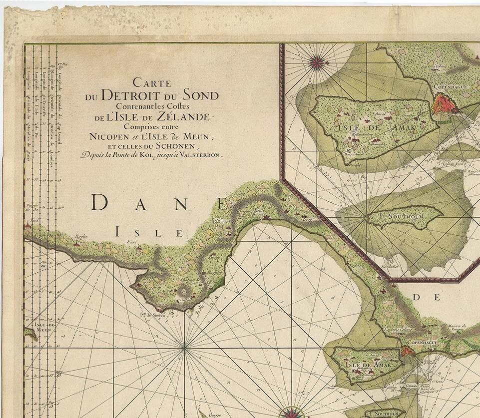
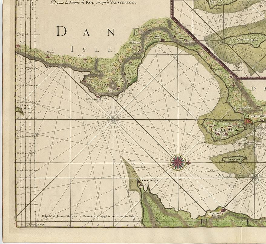
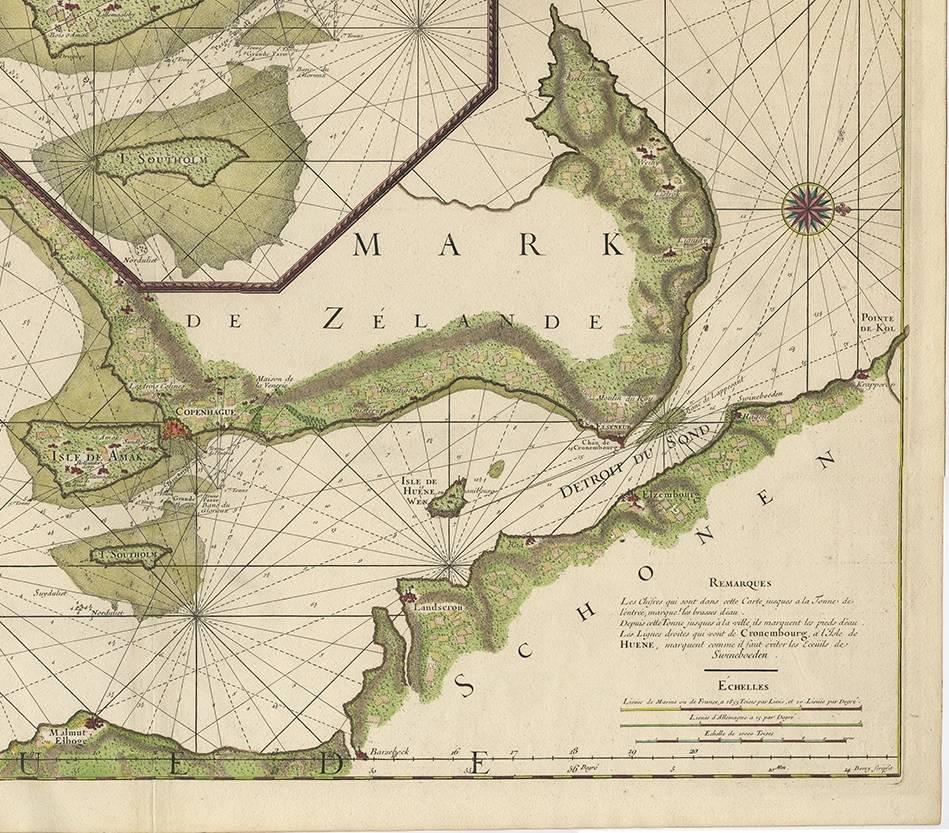
This rare and striking antique map, titled *Carte du détroit du Sond contenant les costes de l’Isle de Zelande*, is a beautifully engraved and detailed coastal map of the Strait of Øresund, depicting the waterways and coasts between Zealand (Denmark) and Scania (Sweden). Published in Amsterdam by Pieter Mortier in 1693, it forms part of *La Neptune François*, an influential collection of sea charts commissioned under the guidance of Colbert, minister to Louis XIV of France.
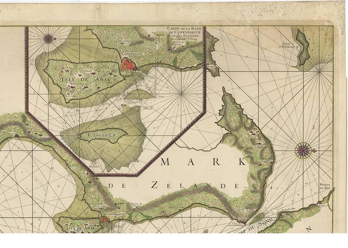
This map offers a meticulous depiction of the Øresund Strait, a critical maritime passage linking the North and Baltic Seas. Its inset map, *Carte de la Rade de Copenhague et des Environs*, highlights Copenhagen and its surroundings, adding depth to this chart’s practical and aesthetic appeal. The map is enriched by finely engraved cartouches and navigational details, characteristic of Alexis-Hubert Jaillot's collaboration with Mortier.
Jaillot, a prominent French cartographer, inherited and expanded upon the works of Nicolas Sanson, the leading cartographer of his time. Jaillot's ability to combine Sanson’s precision with large-scale, decorative maps made his work highly sought after. This particular map exemplifies Jaillot’s and Mortier’s dedication to accuracy, elegance, and maritime utility.
Keywords: antique map Øresund Strait, Jaillot/Mortier sea chart, Zealand and Scania map, 17th-century nautical map, Copenhagen inset map, La Neptune François map, maritime cartography, Pieter Mortier, Alexis-Hubert Jaillot, decorative French sea charts, rare antique maps, Baltic Sea navigation, Covens and Mortier publishing.
This piece is perfect for collectors of rare antique maps, maritime history enthusiasts, or anyone seeking a stunning historical artifact for display. Its connection to influential cartographers and publishers, combined with its focus on one of Europe’s most important waterways, ensures its value as both an artwork and a piece of history.