Maps & PrintsBartele Gallery · Langweer
Home / Antique Maps / Europe / South-East Europe

South-East Europe · 17th century

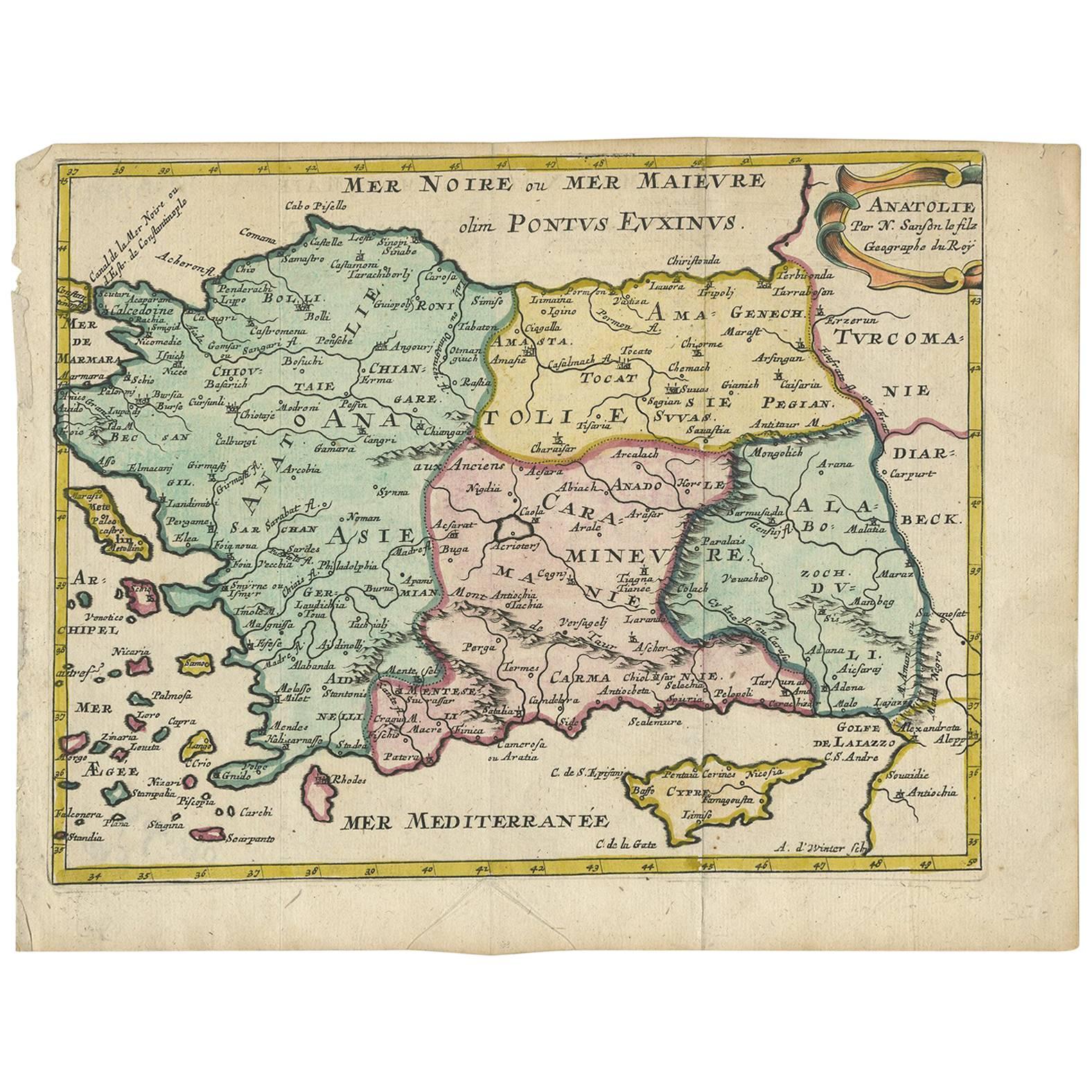
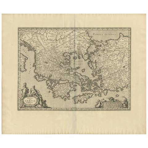
Antique Map of Turkey with Cyprus and Greece Islands by N. Sanson, circa 1652

€ 284

One of a kind: this is the sheet in the photographs. Ships from Langweer, the Netherlands.

Date
1652
Sheet size
20.5 × 26.8 cm (8.1 × 10.6 in)
Condition
Good
Reference
BG-09343

Condition

Good. Please study image carefully.
About this sheet

Antique map of Turkey, Anatolie with Cyprus and the Greece islands. Attractive scrolled title cartouche to top right corner. Blank verso.

More from South-East Europe

Ask about this sheet

Antique Map of Turkey with Cyprus and Greece Islands by N. Sanson, circa 1652
1652 · Ref. BG-09343 · € 284
We reply by email, usually within one working day.