Maps & PrintsBartele Gallery · Langweer
Home / Antique Maps / Europe / Western Europe / The Netherlands & Belgium / Province of Friesland

Province of Friesland · 17th century

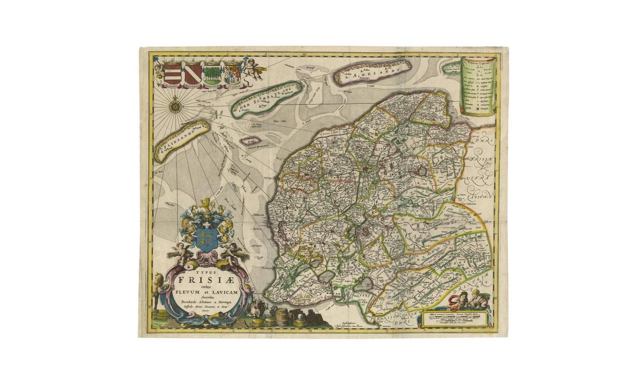
Antique Map of Friesland 'The Netherlands' by B. Schotanus, 1664

€ 1 675

One of a kind: this is the sheet in the photographs. Ships from Langweer, the Netherlands.

Date
1664
Mapmaker / artist
B. Schotanus (Artist)
Technique
Engraved
Sheet size
44 × 55 cm (17.3 × 21.7 in)
Condition
Good
Reference
BG-00219

Condition

Good. Please study image carefully.
About this sheet

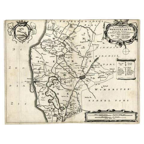
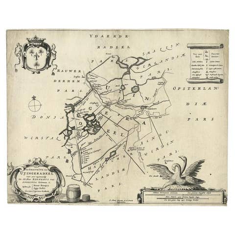
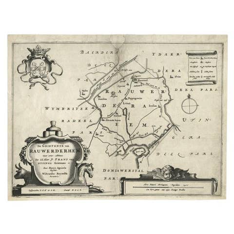
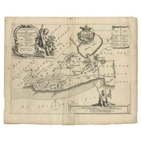
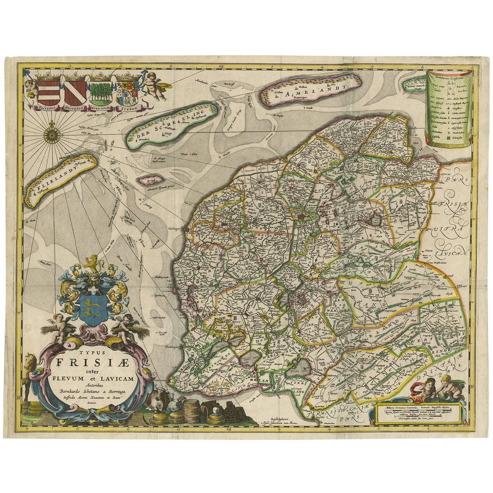
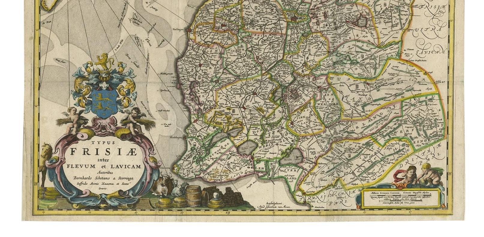
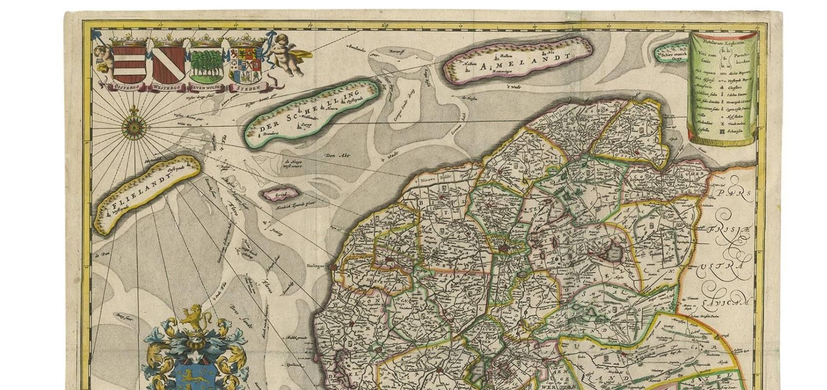
Hand-colored map of the Dutch province Friesland. Also shows the Wadden islands Vlieland, Terschelling and Ameland and a part of Schiermonnikoog. With a decorative cartouche with two putti, livestock and cheese and milk barrels. Four coats of arms in the top left corner. This map originates from 'Beschrijvinge van de Heerlyckheydt van Frieslandt.', by Schotanus a Sterringa, published in Amsterdam: Jacob van Meurs, 1664.

More from Province of Friesland

Ask about this sheet

Antique Map of Friesland 'The Netherlands' by B. Schotanus, 1664
1664 · Ref. BG-00219 · € 1 675
We reply by email, usually within one working day.