Antique Map: Friesland and Terschelling with Inset Isles, by Visscher II, 1670
€ 975
One of a kind: this is the sheet in the photographs. Ships from Langweer, the Netherlands.
Date
1670
Mapmaker / artist
Nicolaes Visscher II (Artist)
Sheet size
52 × 61 cm (20.5 × 24.0 in)
Reference
BG-00281
Condition
good, given age. Light foxing, soilng and creasing. General age-related toning and/or occasional minor defects from handling. Please study scan carefully.
About this sheet
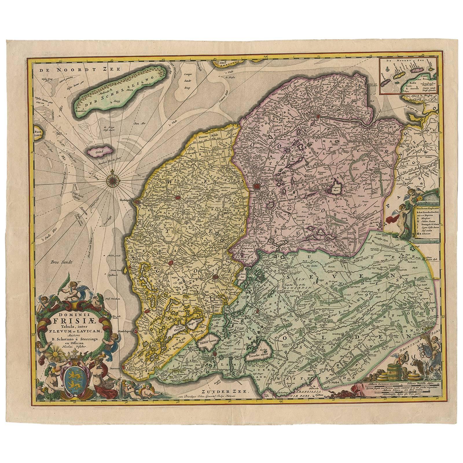
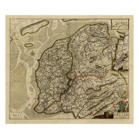
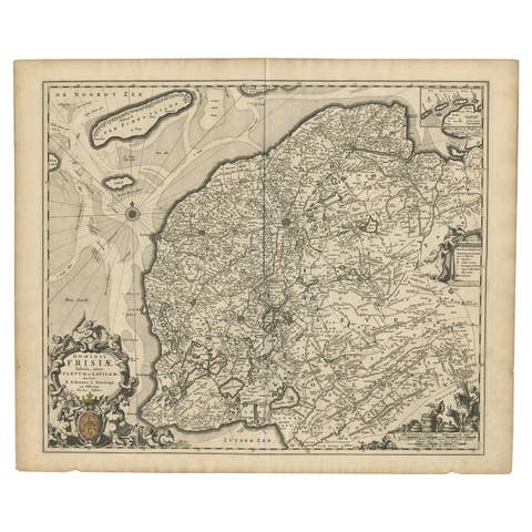
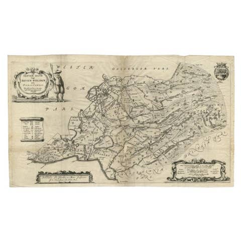
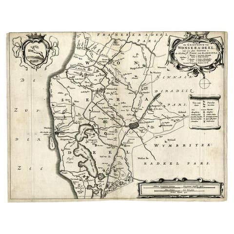
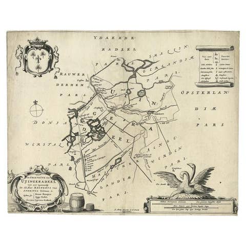
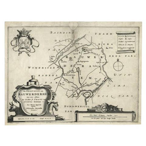
Antique Map: Friesland and Terschelling with Inset Isles, by Nicolaas Visscher II, 1670
This large copper-engraved map provides a detailed and visually stunning depiction of the coastline of Friesland and the island of Terschelling, along with portions of Groningen to the east. Originating from Nicolaas Visscher II’s *Germania Inferiorsive XVII Provinciarum Geographicae Generalis* (Kaert-Boeck van de XVII Nederlandtsche Provincien), this map was published in Amsterdam circa 1670.
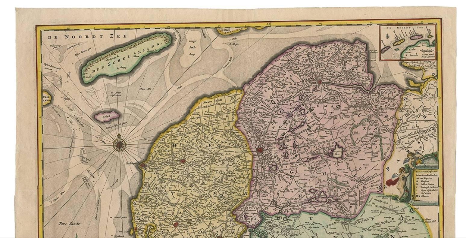
The map highlights the main cities of Friesland, beautifully accented in red, and includes a decorative inset in the lower-right corner, illustrating the smaller isles belonging to the province. The finely engraved details make this map a remarkable artifact of 17th-century cartography, with its coastline features rendered with precision and artistic flair.
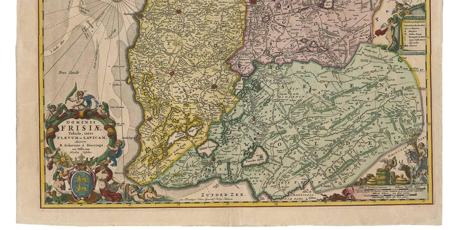
Adding to its charm, the map is adorned with elaborate decorative cartouches featuring putti (cherubs) and a coat of arms, hallmark elements of Nicolaas Visscher II’s cartographic artistry. Visscher was one of the most prominent Dutch mapmakers of the Golden Age of Cartography, known for his dedication to both geographical accuracy and artistic embellishment. His maps were highly sought after during his lifetime and remain prized by collectors today.
Keywords: antique map Friesland, Terschelling map, Nicolaas Visscher II, 17th-century Dutch cartography, Groningen coastline map, decorative map cartouches, Germania Inferiorsive XVII Provinciarum, Kaert-Boeck Nederlandtsche Provincien, historical Dutch maps, rare collectible maps, Golden Age cartography.
This map is a treasure for collectors of antique cartography and enthusiasts of Dutch maritime history. With its intricate details, decorative elements, and historical significance, it is both a captivating work of art and a valuable historical document. Perfect for display or collection, this piece is a testament to the skill and craftsmanship of one of the Golden Age’s greatest mapmakers.