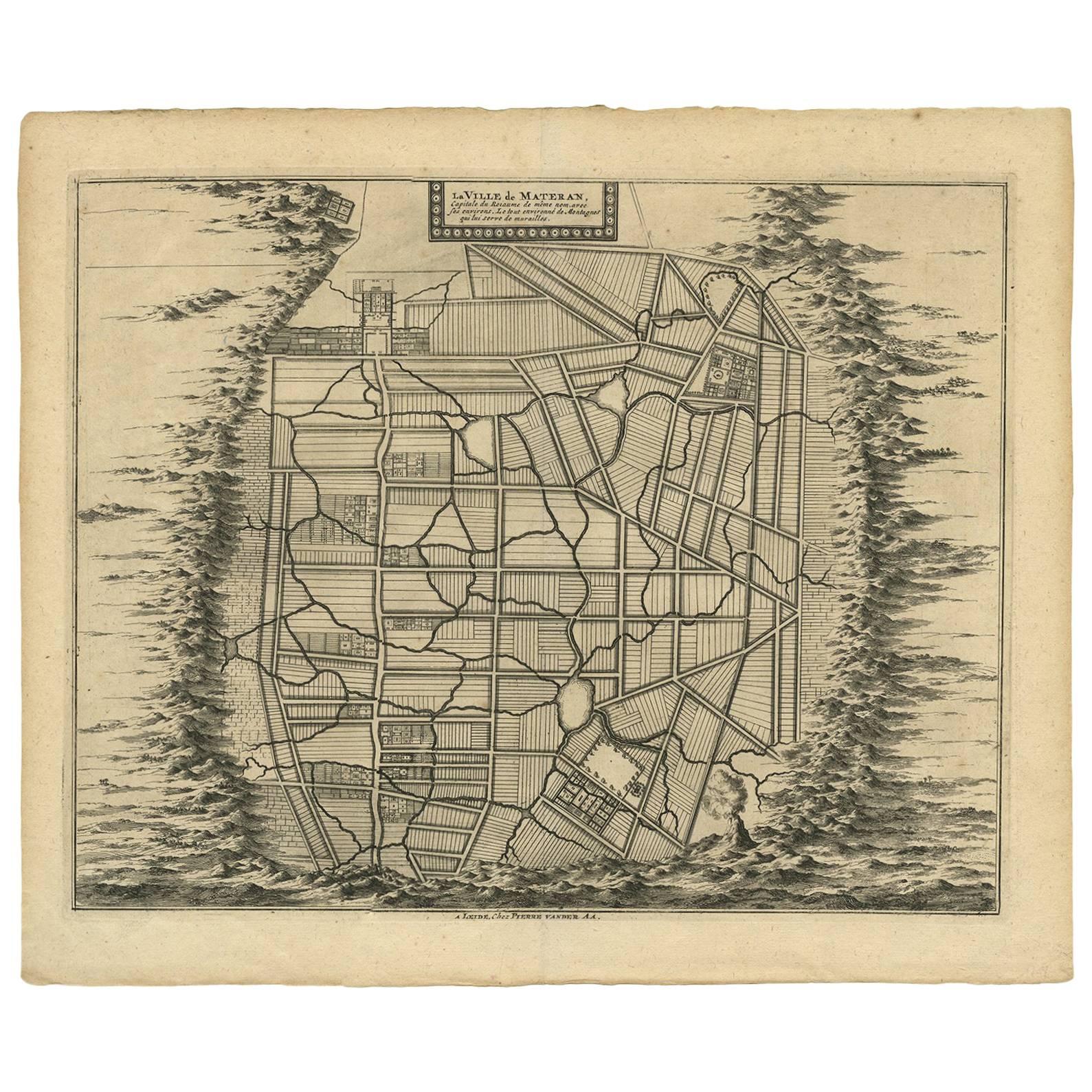
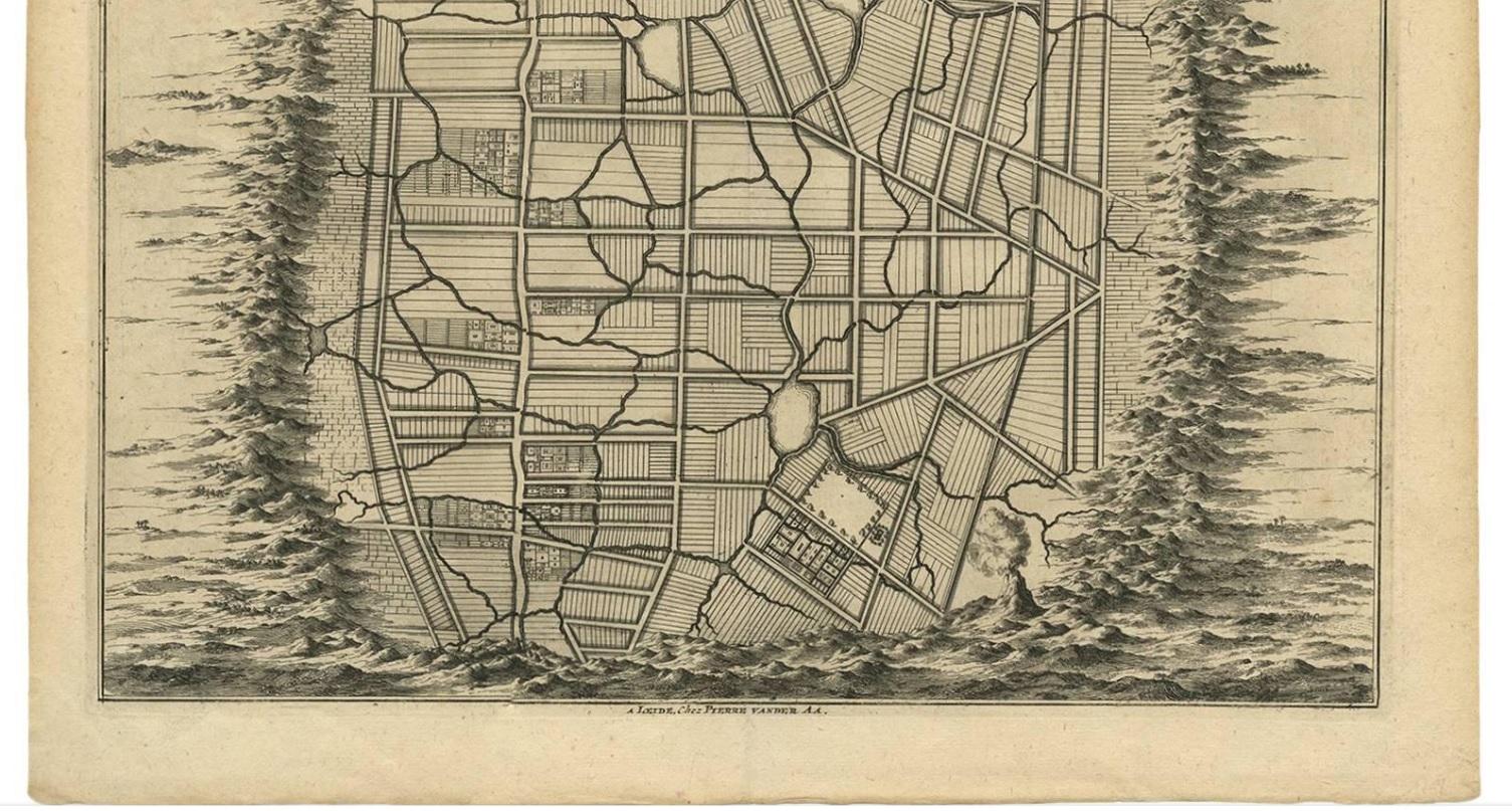
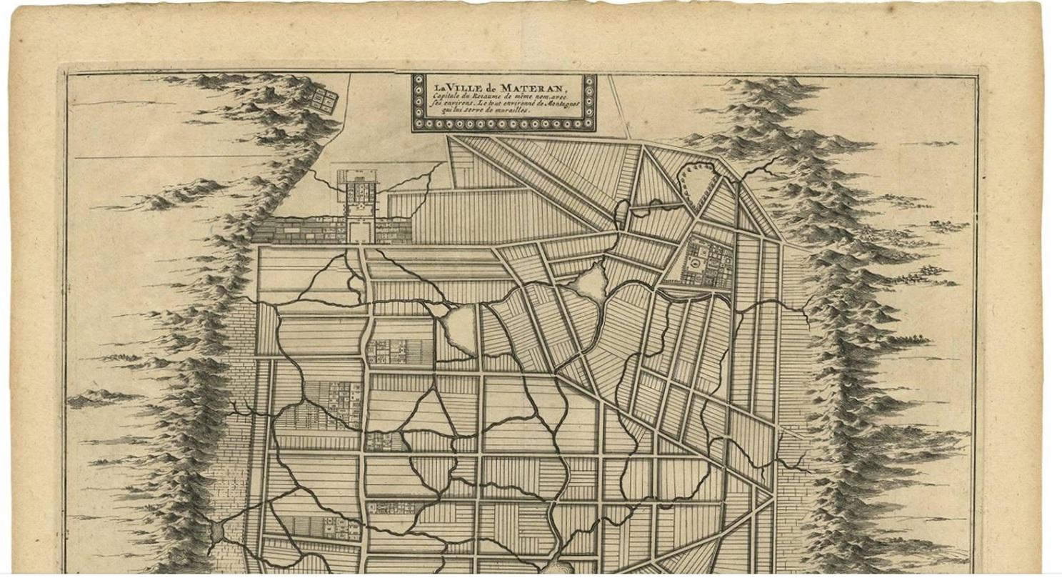
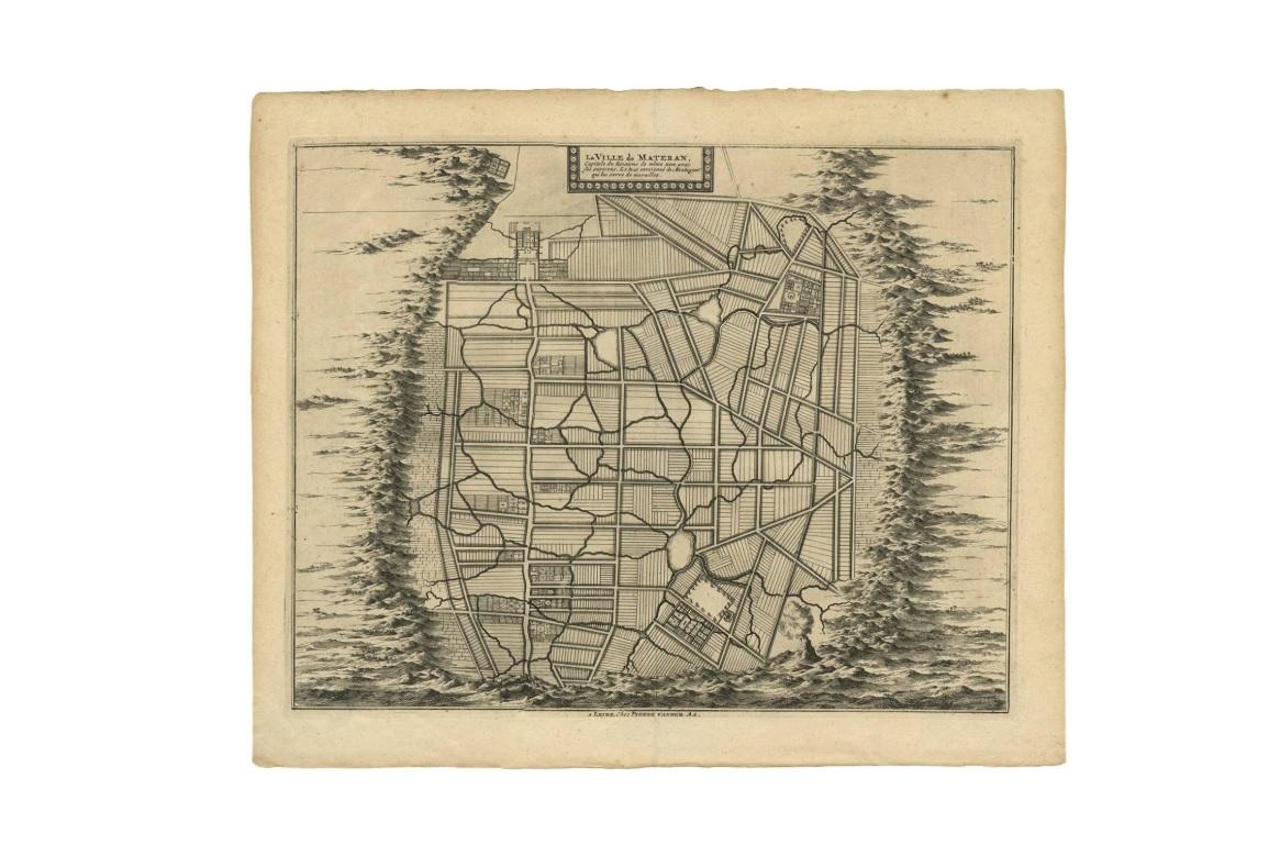
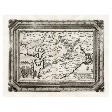
Antique Map of the City of Materan 'Indonesia' by P. van der Aa, circa 1725
€ 395
One of a kind: this is the sheet in the photographs. Ships from Langweer, the Netherlands.
Date
1725
Mapmaker / artist
Pieter Van Der Aa (Artist)
Sheet size
33 × 40.2 cm (13.0 × 15.8 in)
Condition
Good
Reference
BG-00804
Condition
Please study image carefully.
About this sheet
Antique map titled 'La Ville de Materan, capitale de Roiaume de meme nom, avec ses environs. Le tout environne de Montagnes qui lui serve de murailles.' The city of Materan, capital of the kingdom by the same name, with its surroundings. All surrounded by mountains that serve as a protective wall. This map depicts the area of Yogyakarta (Java, Indonesia). The city is named after the Indian city of Ayodhya from the Ramayana epic. Yogya means "suitable, fit, proper", and karta, "prosperous, flourishing". According to Canggal inscription dated 732, the area traditionally known as "Mataram" became the capital of the Medang Kingdom, identified as Mdang i Bhumi Mataram established by King Sanjaya.
This map originates from 'Voyages celebres & remarquables, faits de Perse aux Indes Orientales' by J.A. von Mandelslo. Published in Amsterdam, 1727.