Antique Maps
5,418 original sheets
Europe 3023Asia 1110Africa 236America 548Australia & Oceania 159World Maps 111Sea Charts 209Celestial Maps 22
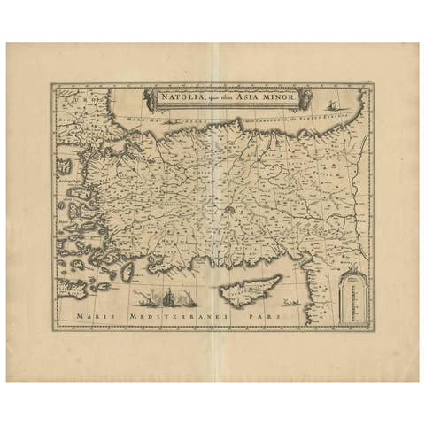
Antique Map of Asia Minor (Natolia) – Janssonius, circa 1650
1650 · € 579
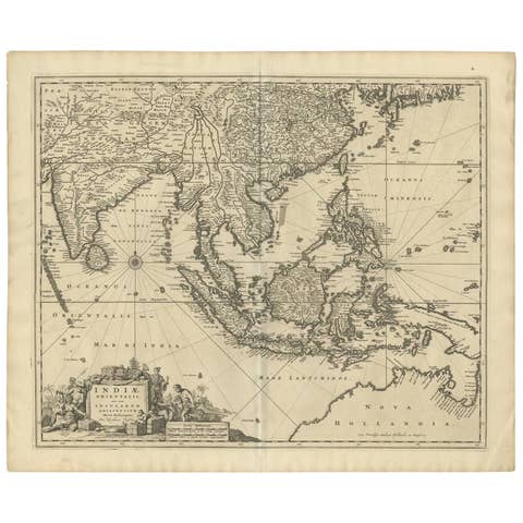
Antique Map of Southeast Asia 'India, Indonesia' by N. Visscher, circa 1670
1670 · € 1 950
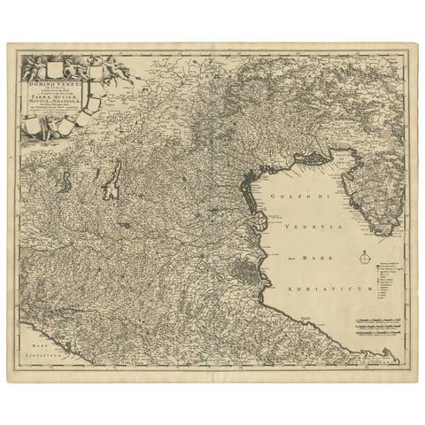
Antique Map of the Region of Venice, Italy by F. De Wit, circa 1700
1700 · € 411
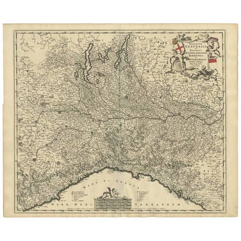
Antique Map of Northern Italy by F. de Wit, 1690
1690 · € 550
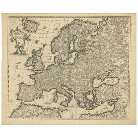
Grand Map of Europe by Frederick de Wit, Circa 1690: A Baroque Era Masterpiece.
1690 · € 960
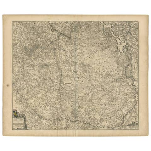
Antique Map of Brabant 'The Netherlands' by N. Visscher, circa 1670
1670 · € 620
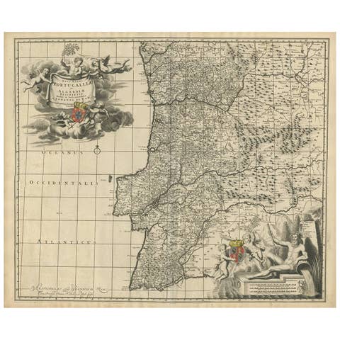
Antique Map of Portugal by J. De Ram, circa 1680
1680 · € 810
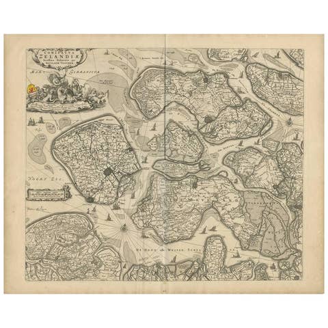
Antique Map of Zeeland 'The Netherlands' by N. Visscher, circa 1690
1690 · € 480
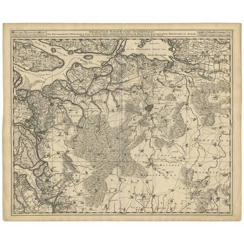
Antique Map of Brabant 'The Netherlands' by N. Visscher, circa 1690
1690 · € 660
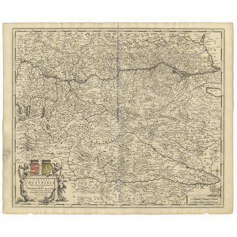
Decorative Antique Map of Austria – Frederick de Wit, Amsterdam c.1690
1690 · € 920
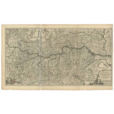
Antique Map of Austria by N. Visscher, circa 1690
1690 · € 930
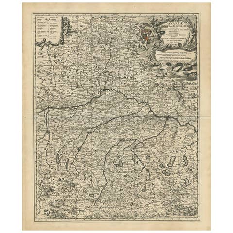
Antique Map of Bavaria with many details, Germany
€ 660
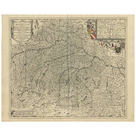
Antique Map of Southern Germany by F. de Wit, circa 1680
1680 · € 514
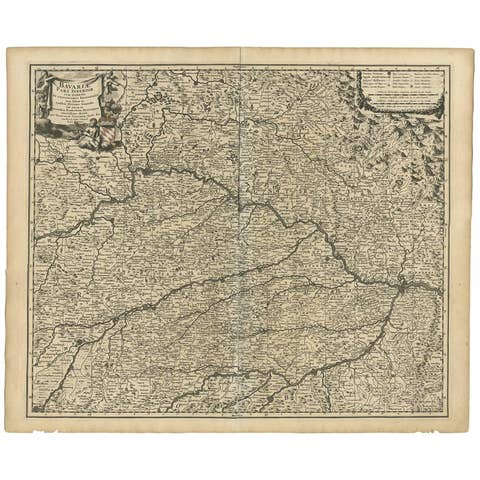
Antique Map of Bavaria ‘Bayern, Germany’ by N. Visscher, circa 1700
1700 · € 376
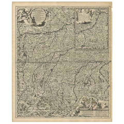
Antique Map of Upper Bavaria, Germany, circa 1690
1690 · € 695
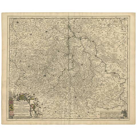
Antique Map of the Saxony Region 'Germany' by F. de Wit, circa 1680
1680 · € 647
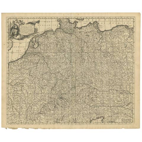
Antique Map of Central Europe "Centered on Germany" by F. de Wit, circa 1680
1680 · € 850
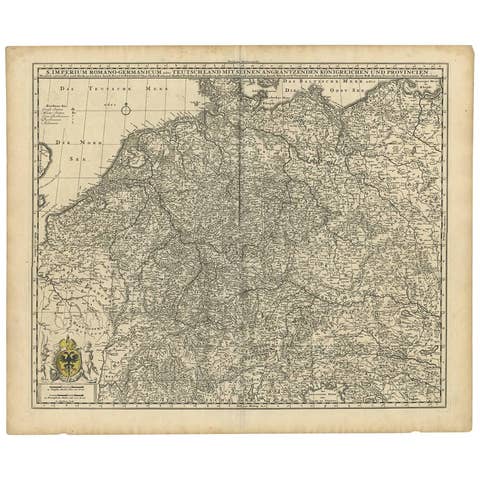
Germany & Bordering Kingdoms Map – N. Visscher, c.1680 Antique Engraving
1680 · € 670
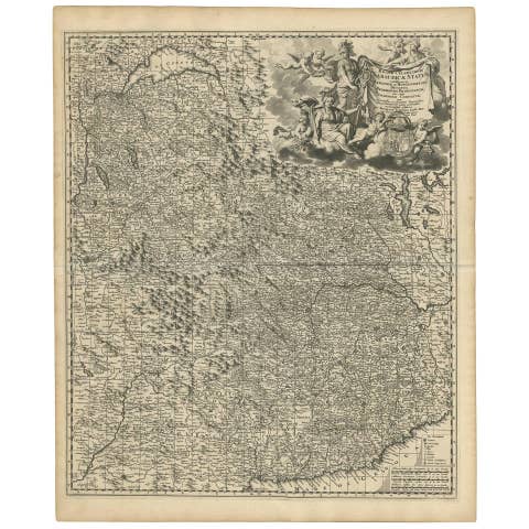
Antique Map of Piedmonte and Savoie 'Italy' by N. Visscher, circa 1683
1683 · € 570
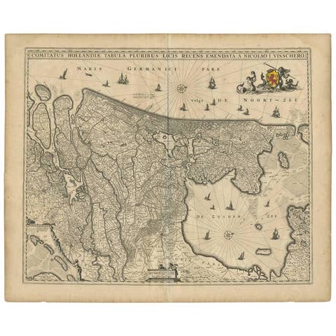
Antique Map of the Netherlands by N. Visscher, 1684
1684 · € 1 100
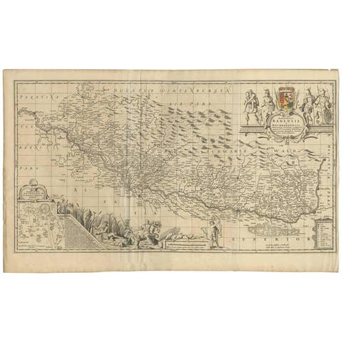
Antique Map of Switzerland by J. van Waesbergen, circa 1680
1680 · € 820

Géographie des Hébreux – Tableau de la Dispersion des Enfants de Noé, 1837
1837 · € 240
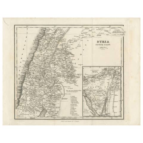
Antique Map of Southern Syria by Fullarton & Co, circa 1860
1860 · € 240
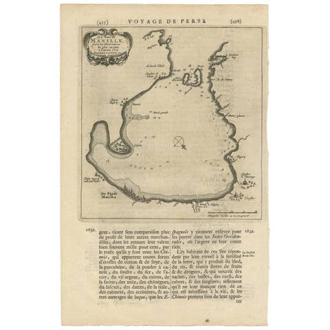
Antique Map of Manilla Bay Philippines by P. van der Aa, 1719
1719 · € 328
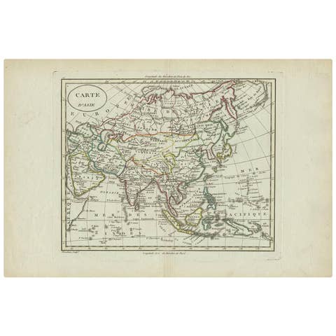
Antique Map of Asia by Alexandre Blondeau, Paper Print, Circa 1800
1800 · € 191
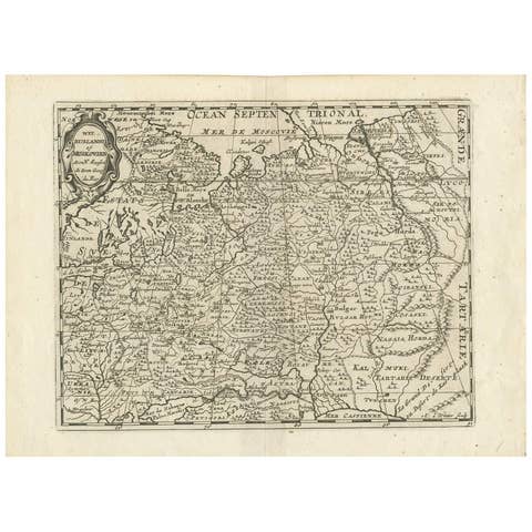
Antique Map of Russia by N. Sanson, 1705
1705 · € 320
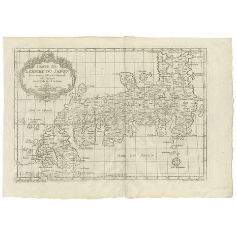
Antique Map of Japan by J.N. Bellin, 1752
1752 · € 460

Antique Plan of the City of Damietta Egypt by C. Niebuhr, 1774
1774 · € 180
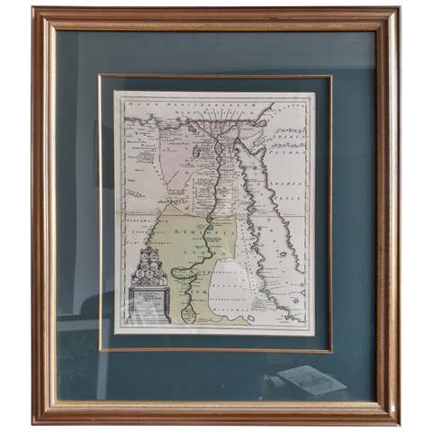
Original Antique Map of Egypt in Frame by C. Weigel, circa 1720
1720 · € 975
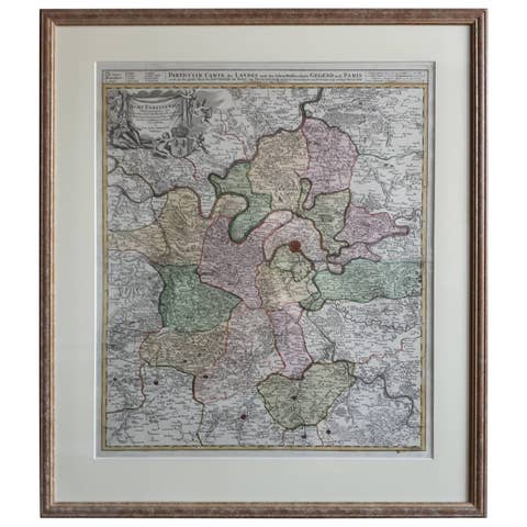
Antique Map in Frame of the Region of Paris ‘France’ by H. Heirs, circa 1720
1720 · € 1 100
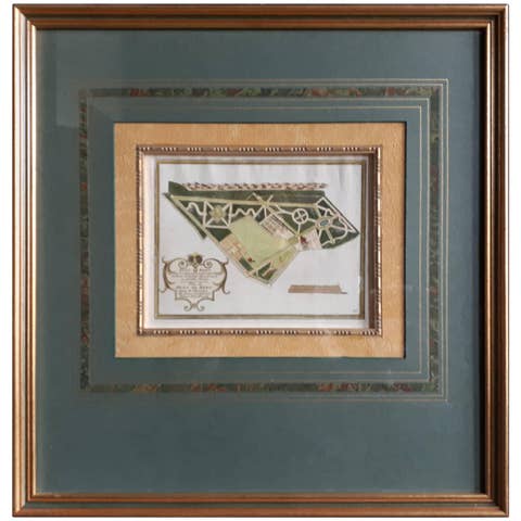
Antique Plan of Duin en Berg 'the Netherlands' by H. de Leth circa 1732
1732 · € 480
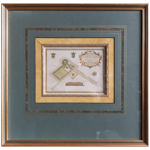
Antique Plan of the Residence of the Mayor of Amsterdam by H. de Leth circa 1732
1732 · € 480
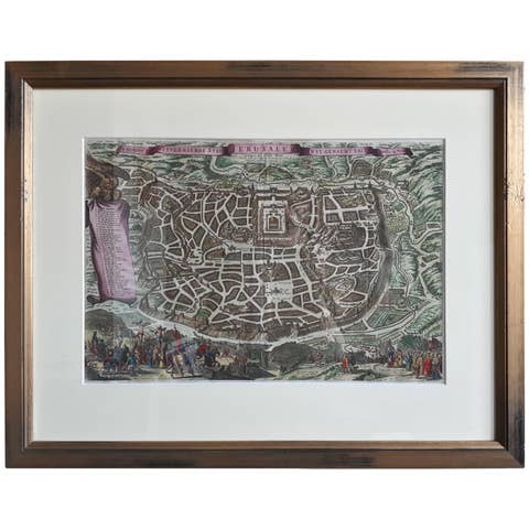
Antique Map of the City of Jerusalem by N. Visscher, 1702
1702 · € 3 450
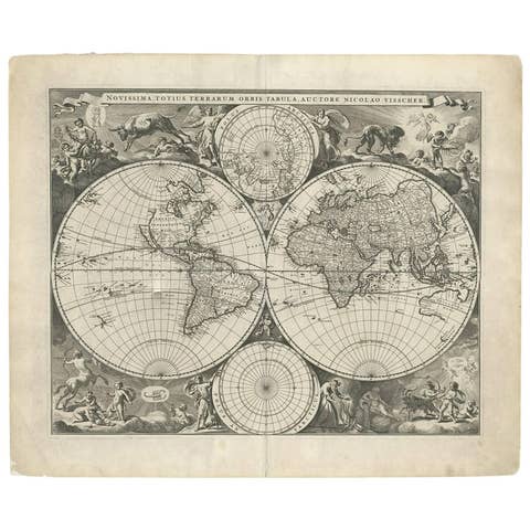
Gorgeous Antique World Map by the Dutch Mapmaker Visscher, published circa 1679
1679 · € 6 600
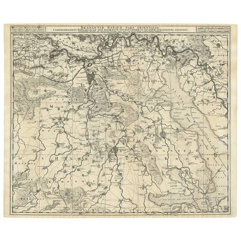
Antique Map of Brabant 'The Netherlands' by N. Visscher, circa 1690
1690 · € 600
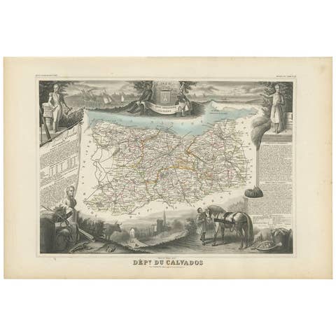
Antique Map of Calvados ‘France’ by V. Levasseur, 1854
1854 · € 200
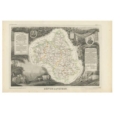
Antique Map of Aveyron ‘France’ by v. Levasseur, 1854
1854 · € 180
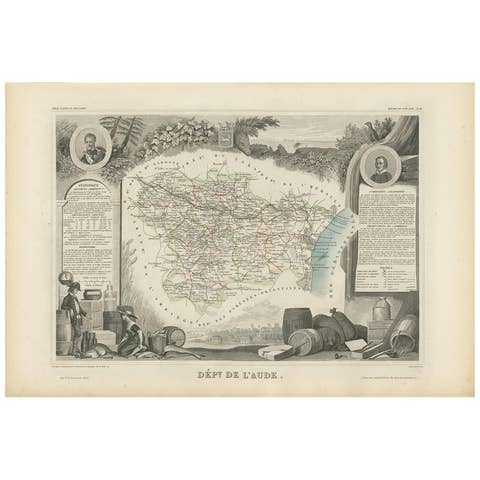
Antique Map of Aude ‘France’ by V. Levasseur, 1854
1854 · € 180

Antique Map of Vendée ‘France’ by V. Levasseur, 1854
1854 · € 180
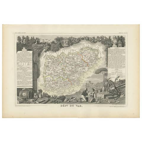
Antique Map of Var 'France' by V. Levasseur, 1854
1854 · € 180

Antique Map of Tarn and Garonne in France, 1854
1854 · € 180

Antique Map of Tarn 'France' by V. Levasseur, 1854
1854 · € 180
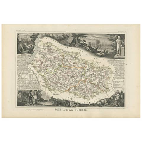
Antique Map of Somme ‘France’ by V. Levasseur, 1854
1854 · € 180
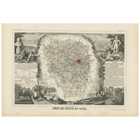
Antique Map of Seine et Oise 'France' by V. Levasseur, 1854
1854 · € 200
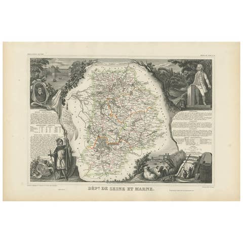
Antique Map of Seine et Marne 'France' by V. Levasseur, 1854
1854 · € 200
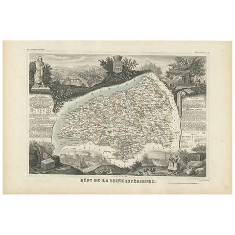
Antique Map of Seine Inférieure, France by V. Levasseur, 1854
1854 · € 200

Antique Map of Sarthe 'France' by V. Levasseur, 1854
1854 · € 180
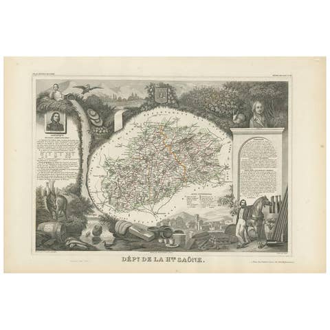
Antique Map of Haute-Saone, France by V. Levasseur, 1854
1854 · € 180