Maps & PrintsBartele Gallery · Langweer
Home / Antique Maps / Europe / Northern Europe

Northern Europe · 17th century

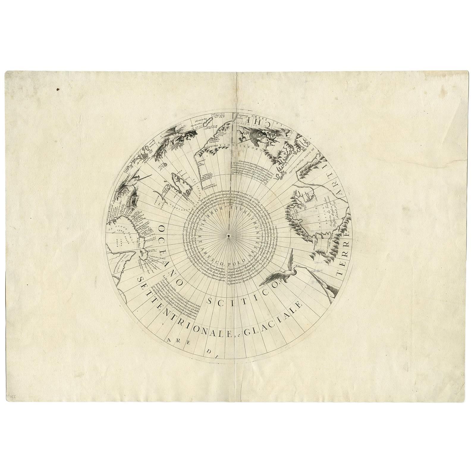
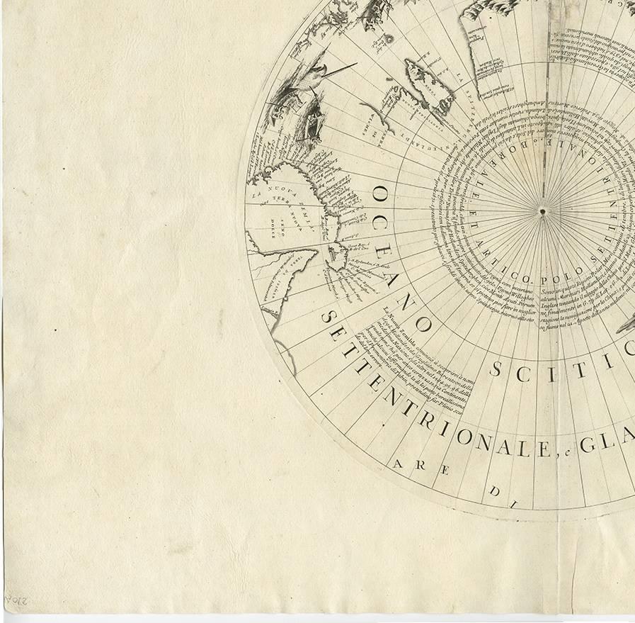
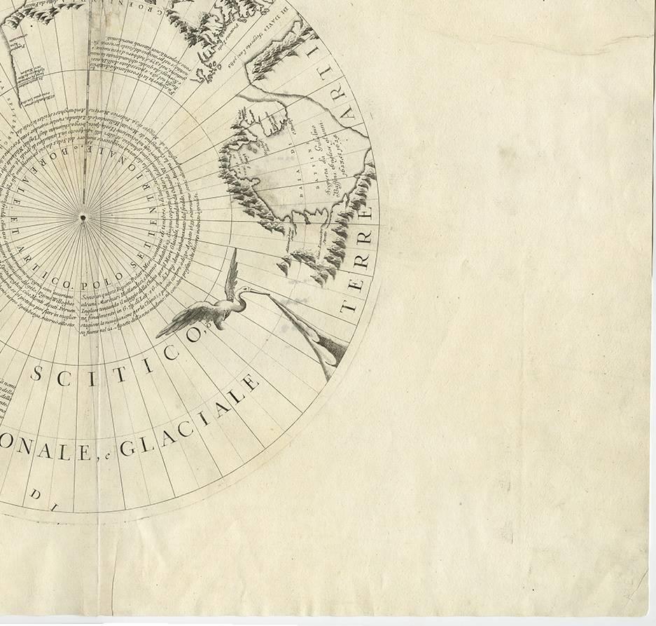
Greenland & the North Pole – Antique Polar Map by V.M. Coronelli, c.1692

€ 1 290

One of a kind: this is the sheet in the photographs. Ships from Langweer, the Netherlands.

Date
1692
Mapmaker / artist
Vincenzo Coronelli (Artist)
Technique
Engraved
Sheet size
49 × 68 cm (19.3 × 26.8 in)
Condition
Good
Reference
BG-00874

Condition

Minor fading. Good condition with some toning mostly in the margins. Please study images carefully.
About this sheet

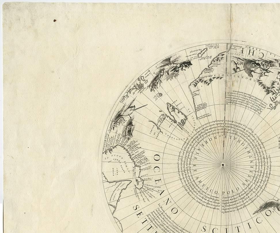
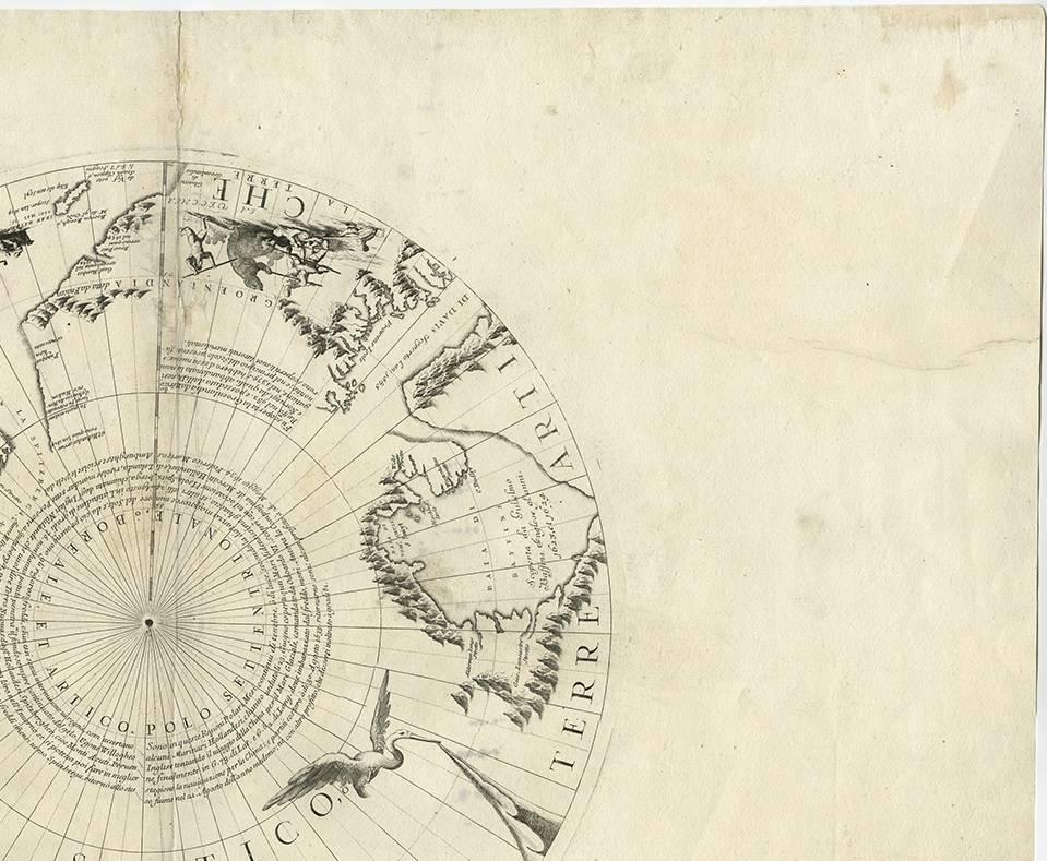
Globe gore by Vincenzo Maria Coronelli shows the North Pole with the coasts of Canada, Greenland, Scandinavia and Siberia, and is decorated with pictorial scenes of bear, seal and whale hunters. The globe gore is based on the north part of Coronelli’s large terrestrial globe for Louis XIV.

More from Northern Europe

Ask about this sheet

Greenland & the North Pole – Antique Polar Map by V.M. Coronelli, c.1692
1692 · Ref. BG-00874 · € 1 290
We reply by email, usually within one working day.