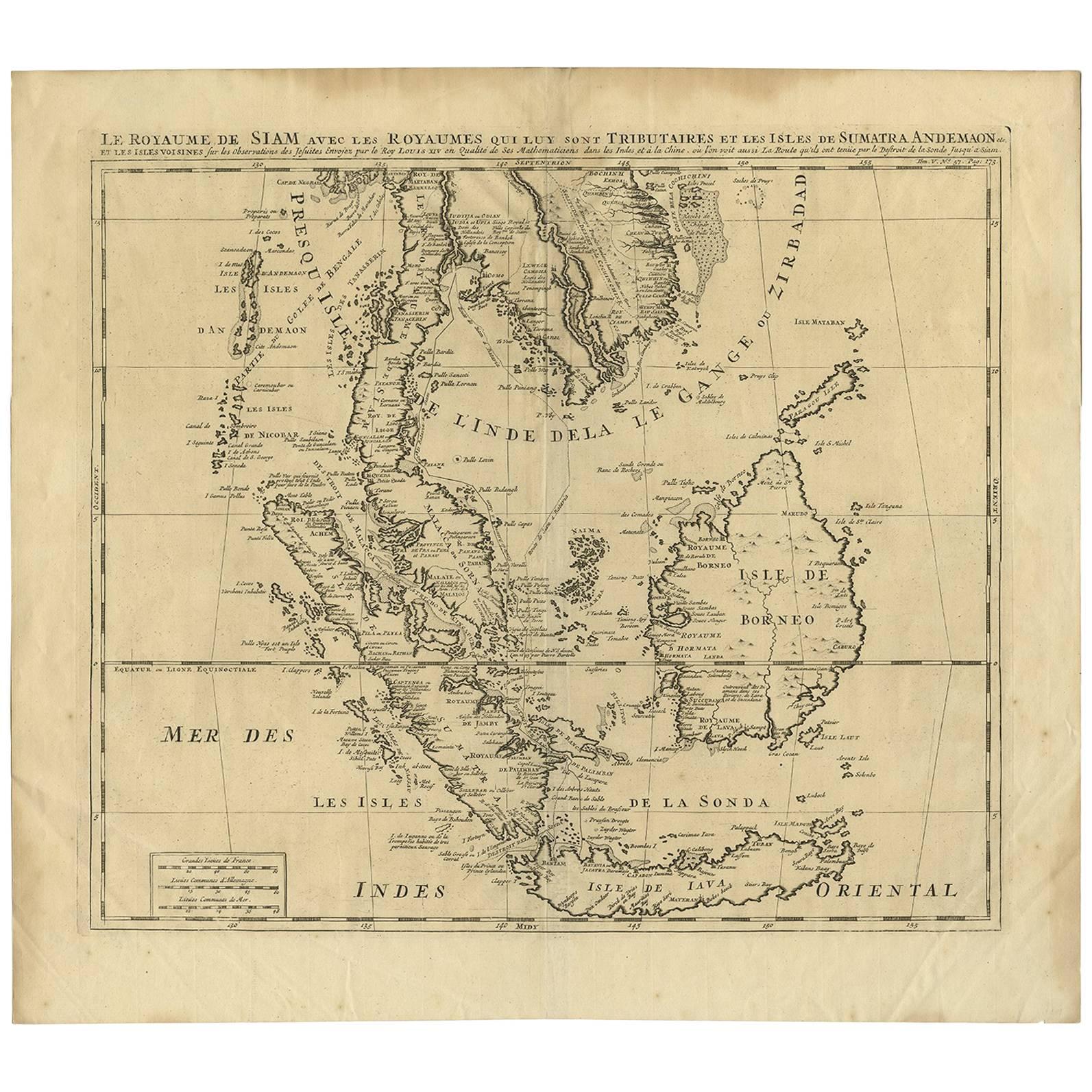
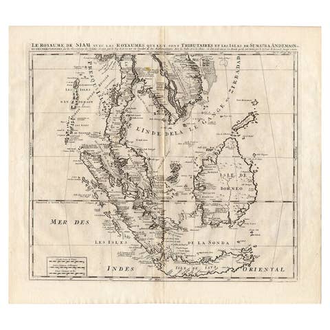
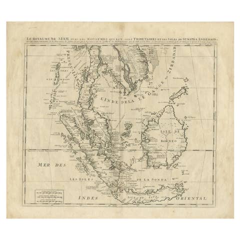
Antique Map of Southeast Asia by H. Chatelain, circa 1720
€ 1 450
One of a kind: this is the sheet in the photographs. Ships from Langweer, the Netherlands.
Date
1720
Mapmaker / artist
Henri-Abraham Chatelain (Artist)
Sheet size
45 × 50 cm (17.7 × 19.7 in)
Condition
Good
Reference
BG-00755
Condition
Please study images carefully.
About this sheet
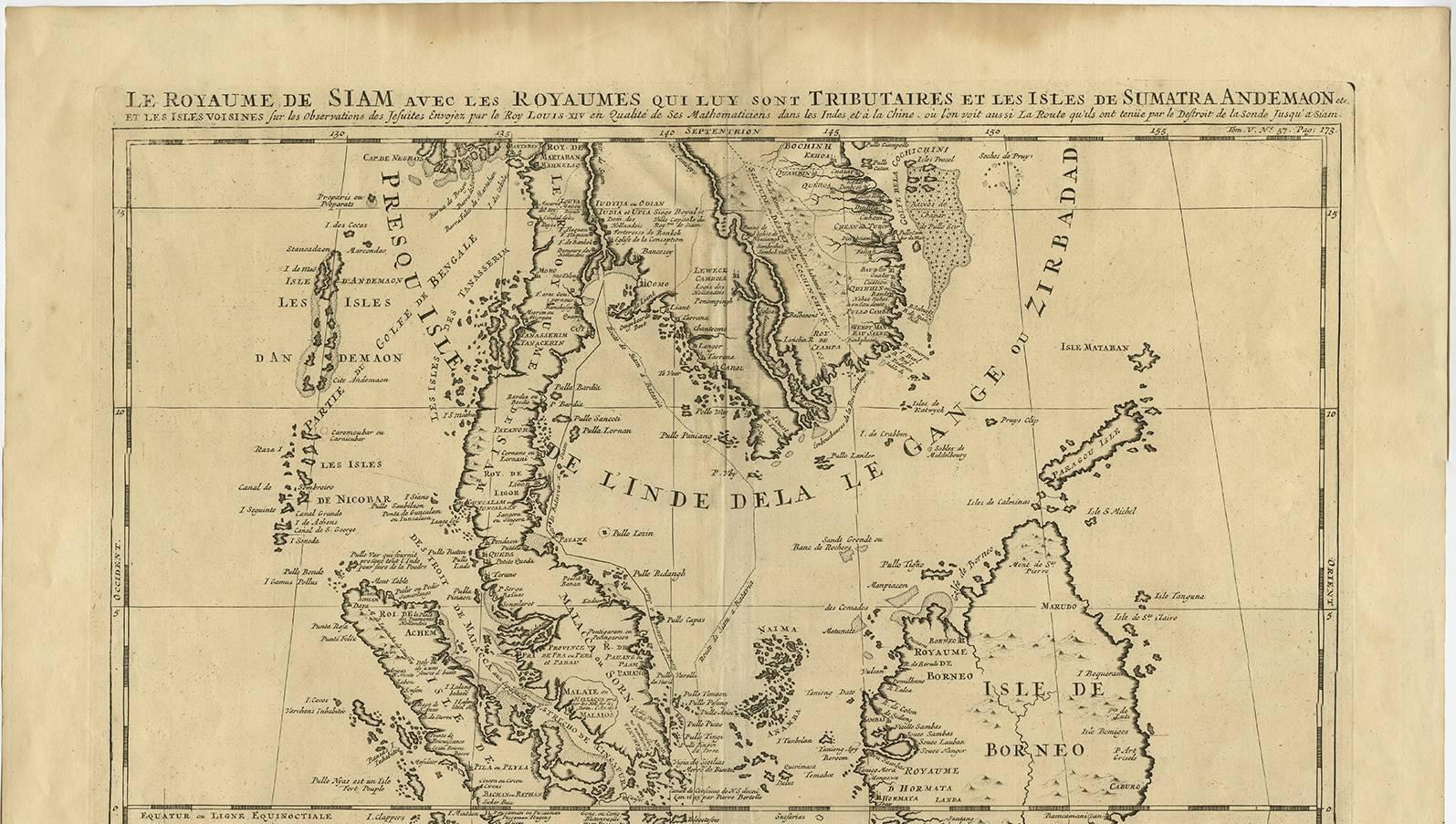
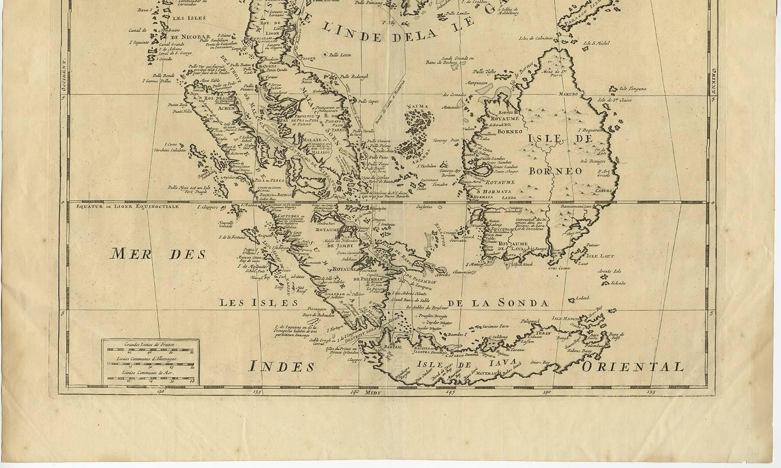
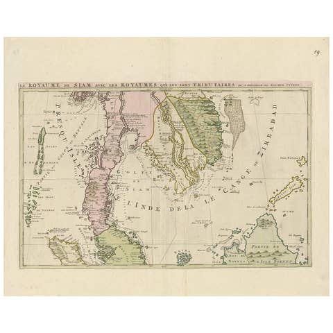
Antique map titled 'Le Royaume de Siam aves les Royaumes qui luy sont Tributaires et les Isles de Sumatra Andemaon'. Influential map of Southeast Asia, including modern day Thailand, southern Vietnam, Cambodia, Malaysia, Singapore, Borneo, Sumatra and Java. Chatelain incorporated information provided by the French Jesuits and charts the route of the French Embassy to and from Siam in 1685-1686 through the Straits of Banca and the Gulf of Siam.
With good detail of the Andaman Islands, the Gulf of Thailand (Golfe de Siam) and coastal Vietnam. In the Kingdom of Siam, this map shows the fortress of Bangkok, the ancient Siamese capital of Ayutthaya, royal palace, and the Dutch trading colony. In Cambodia, it details the village of Ponompingn (Phnom Penh), Lewek on Camboia, and the Dutch trading Mission.