Maps & PrintsBartele Gallery · Langweer
Home / Antique Maps / Europe / Southern Europe

Southern Europe · 18th century

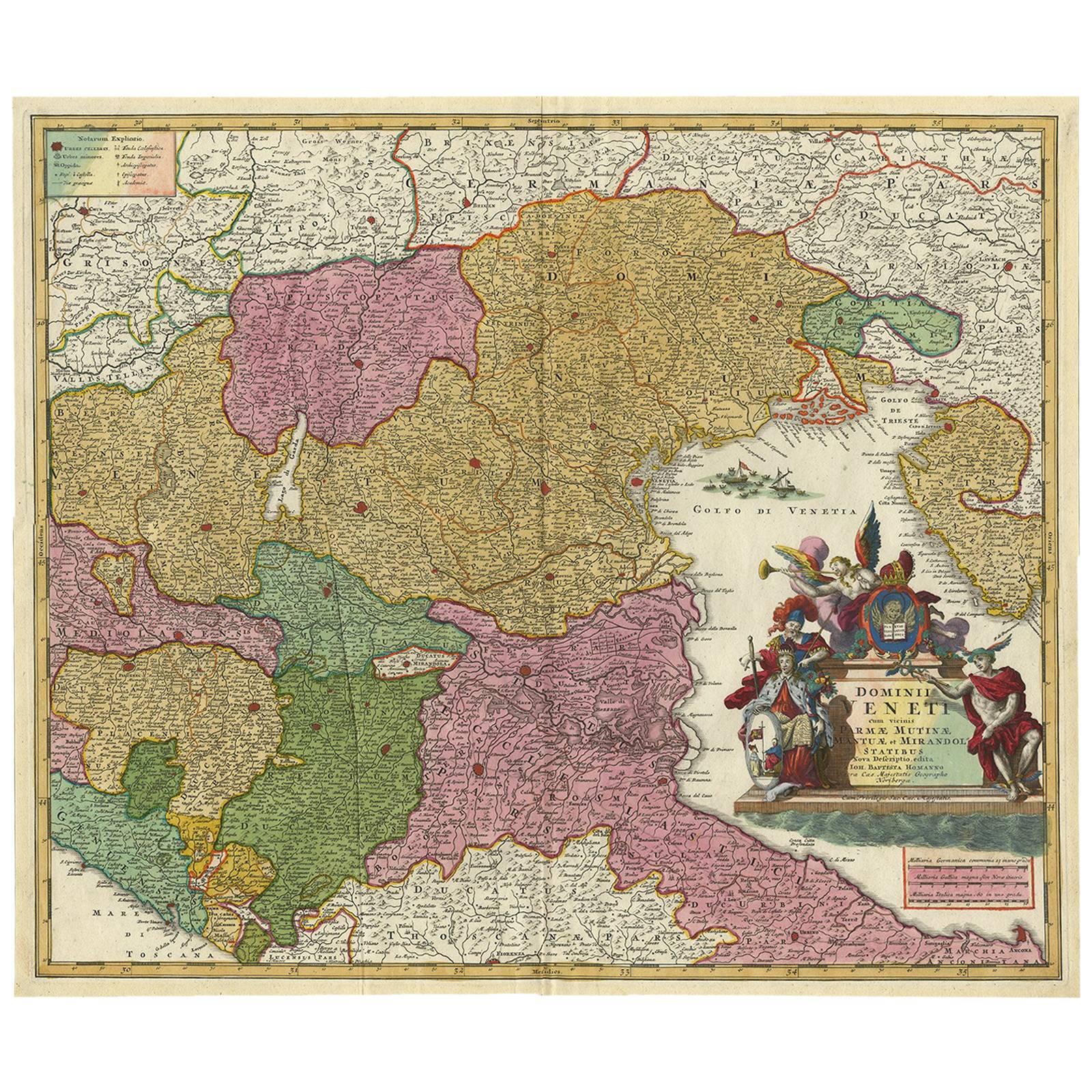
Stunning Antique Map of Northern Italy by J.B. Homann, circa 1745

€ 960

One of a kind: this is the sheet in the photographs. Ships from Langweer, the Netherlands.

Date
1745
Mapmaker / artist
Johann Baptist Homann (Artist)
Sheet size
51 × 60.5 cm (20.1 × 23.8 in)
Condition
Good
Reference
BG-00417

Condition

Please study image carefully.
About this sheet

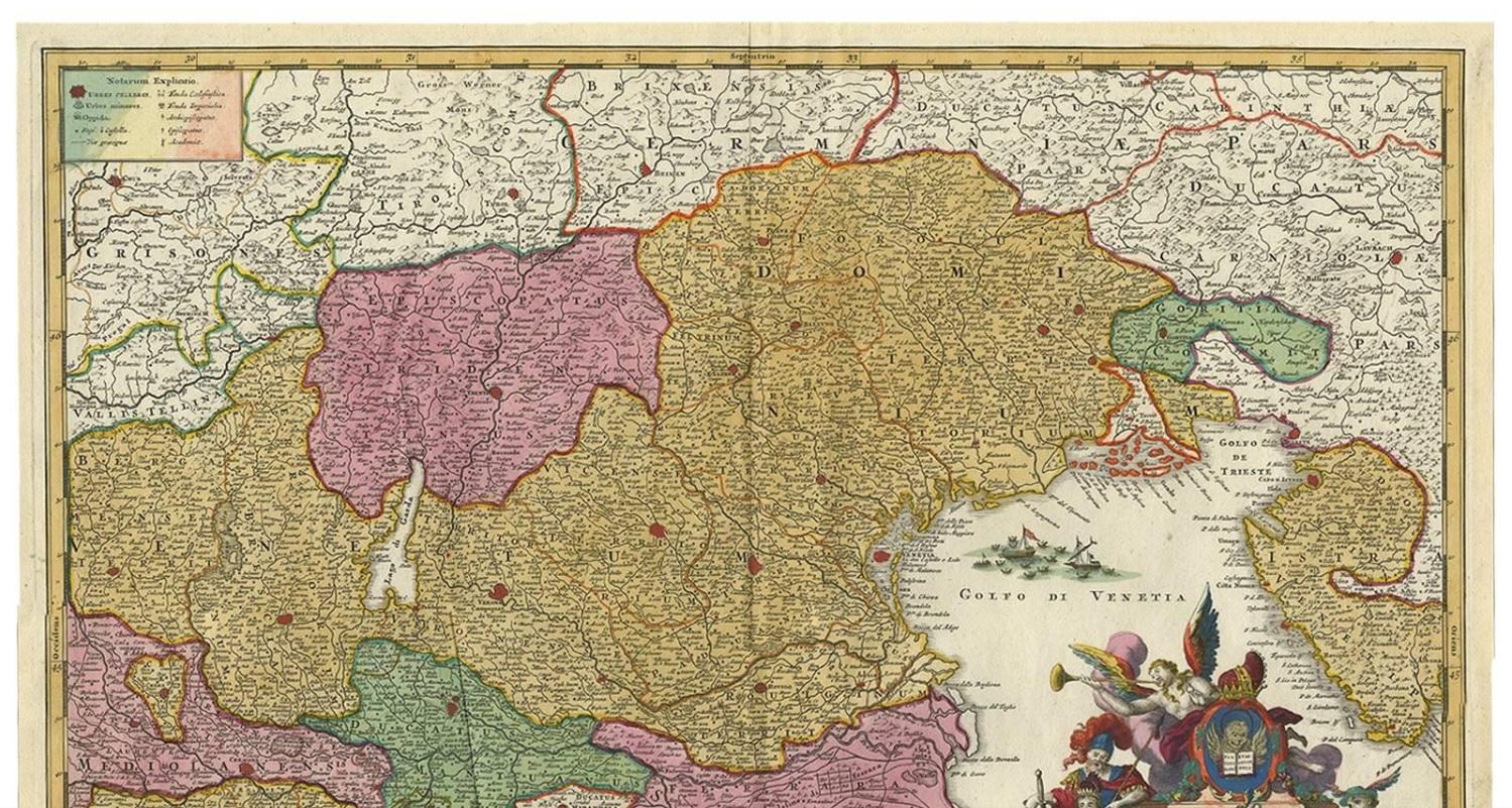
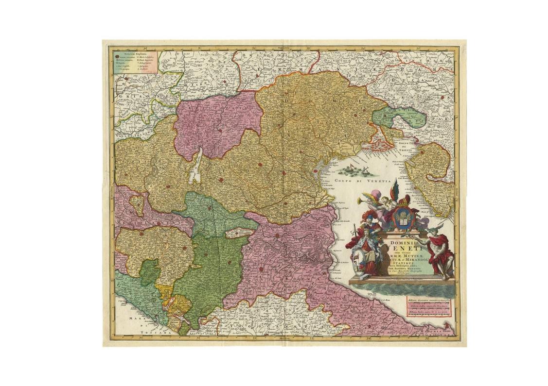
This beautiful hand-colored map covers from Bergamo east as far as Albona (Labin) and from Vipiteno Sterzing south as far as Florence.

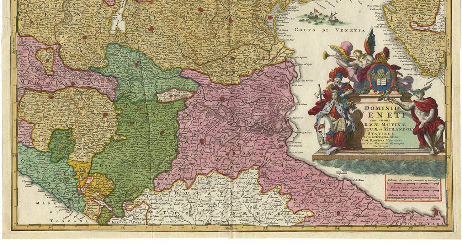
The map is exceptionally detailed, noting towns, rivers, lakes, cities and a host of additional topographical features. Includes neighboring Parma, Modena, Mantua and Mirandol. The map depicts the Veneto region and its vicinity during the decline of the Republic of Venice. A key in included in the top left quadrant of the map, while a beautifully engraved title cartouche adorns the lower right quadrant. This map was issued in Homann Heirs circa 1745 edition of Atlas Novus Terrarum Orbis.

More from Southern Europe

Ask about this sheet

Stunning Antique Map of Northern Italy by J.B. Homann, circa 1745
1745 · Ref. BG-00417 · € 960
We reply by email, usually within one working day.