About this sheet
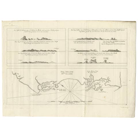
Antique Map: A Chart of Captain Carteret's Discoveries at New Britain (1769)
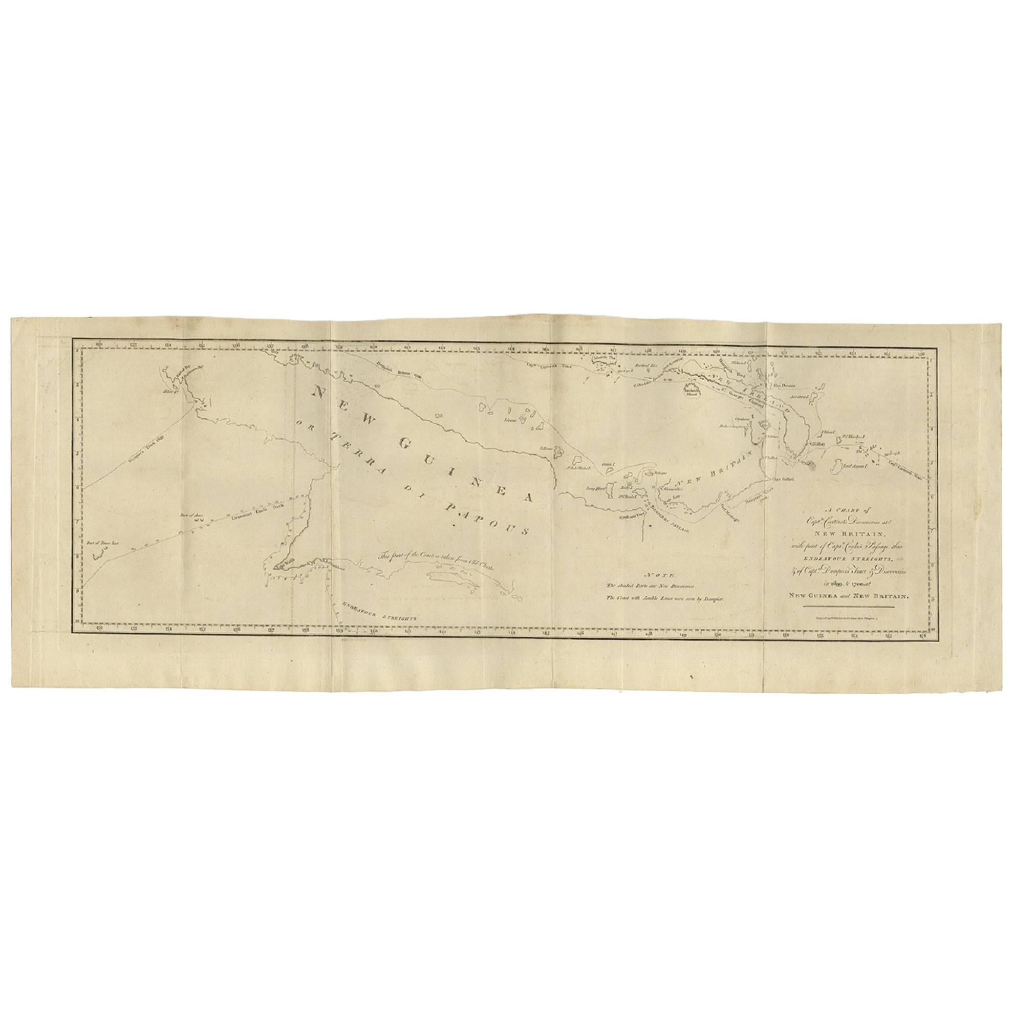
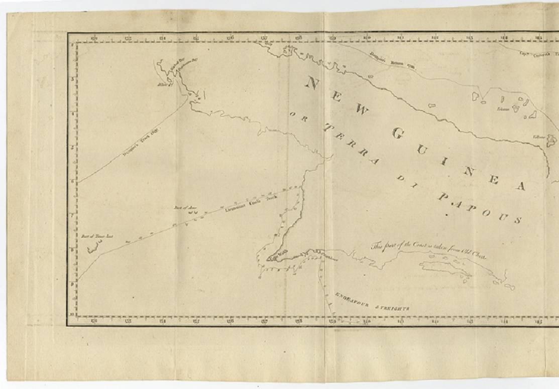
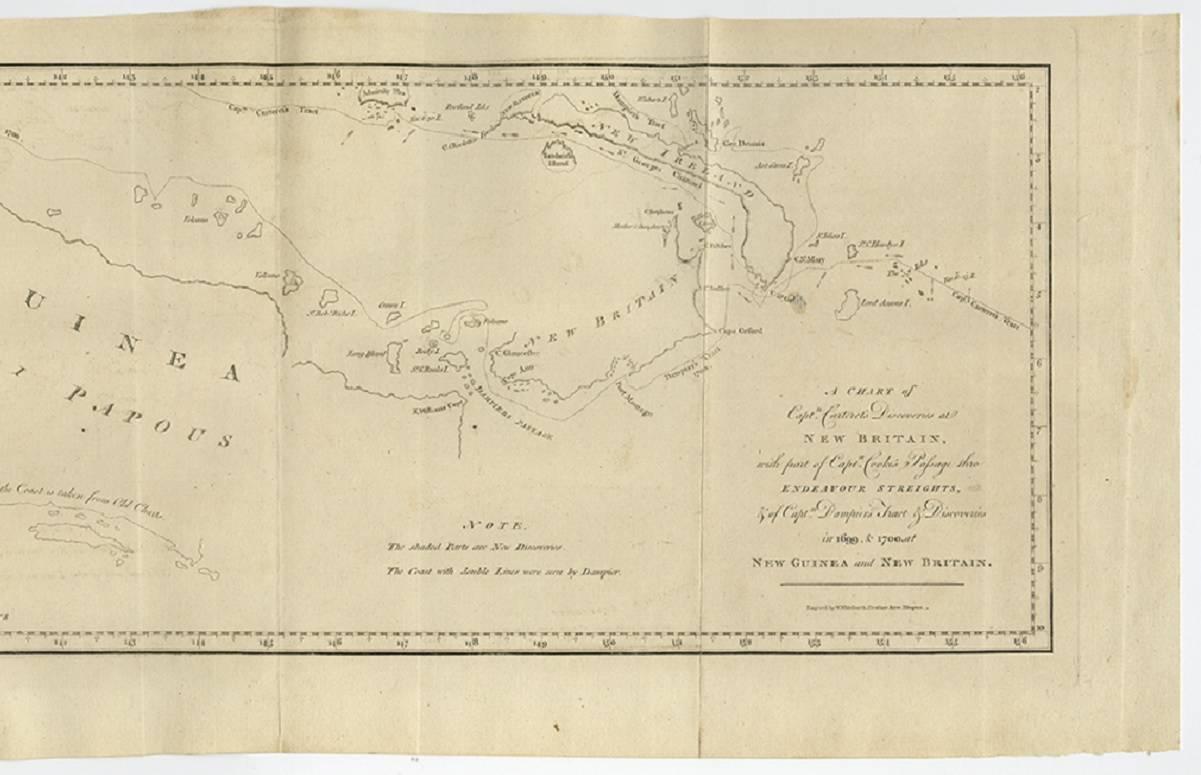
This rare and historically significant 18th-century map, titled *A Chart of Captn Carteret's Discoveries at New Britain,* offers a fascinating glimpse into early European explorations of the Pacific. Published in 1769, the map meticulously charts Captain Philip Carteret's 1767 voyage through New Guinea and the islands of New Britain and New Ireland, showcasing his contributions to the understanding of the Bismarck Archipelago. Adding to its significance, the map traces the paths of earlier explorer William Dampier (1699-1700) and includes Captain James Cook’s route through Endeavour Strait during his first voyage, following his groundbreaking charting of Australia's eastern coastline.
This map vividly illustrates the routes taken by these legendary navigators, including Carteret’s passage between New Britain and New Ireland, a key discovery in 18th-century Pacific navigation. Dampier’s tracks through the Bismarck Archipelago further enhance its historical depth, as they highlight one of the earliest European encounters with these remote islands. Additionally, the inclusion of Cook’s route through Endeavour Strait, after charting Australia's eastern coast and continuing to Timor, places this map within the context of one of the most important voyages in maritime history.
The map’s artistic and cartographic details are remarkable, featuring carefully engraved coastlines, navigational markings, and annotations that reflect the state of geographical knowledge in the mid-18th century. It captures the adventurous spirit of exploration and discovery, providing a tangible link to the era of great maritime expeditions.
Keywords: antique map, Captain Philip Carteret, William Dampier, Captain James Cook, New Guinea, New Britain, New Ireland, Bismarck Archipelago, 18th-century cartography, Endeavour Strait, historical exploration map, Pacific navigation, maritime history, rare maps for sale.
This map is a must-have for collectors of antique cartography, maritime history enthusiasts, and anyone interested in the Age of Discovery. Its combination of historical significance, exquisite engraving, and connection to legendary explorers like Dampier and Cook makes it an invaluable piece for any collection or display. Don't miss this opportunity to own a rare and captivating artifact of exploration history.