Maps & PrintsBartele Gallery · Langweer
Home / Antique Maps / Europe / Western Europe / France

France · 17th century

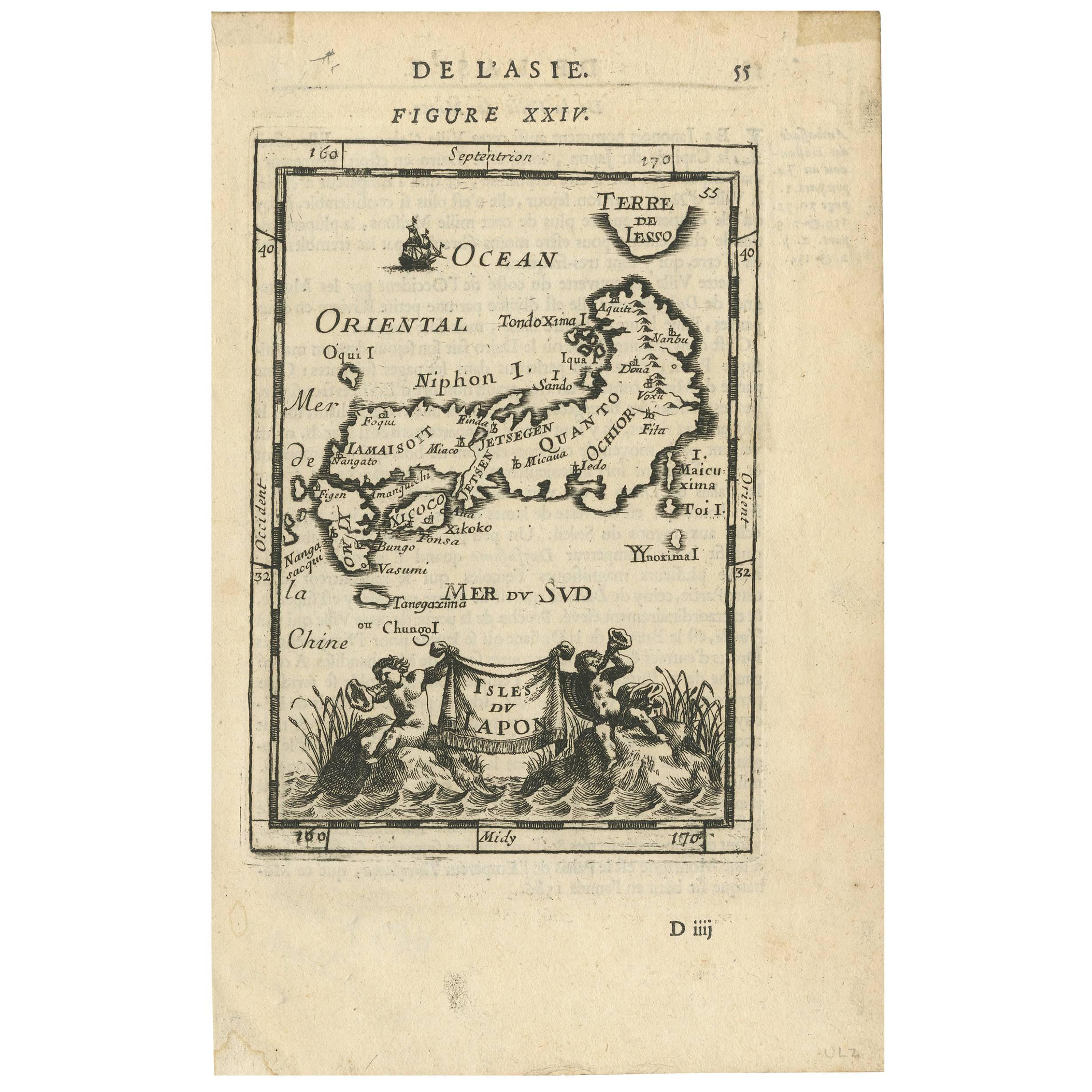
Antique Map of Japan by Allain Manesson Mallet, France, 1683

€ 290

One of a kind: this is the sheet in the photographs. Ships from Langweer, the Netherlands.

Date
1683
Technique
Engraved
Sheet size
20.8 × 13.4 cm (8.2 × 5.3 in)
Condition
Good
Reference
BG-09353

Condition

Some tape residue. Please study image carefully.

About this sheet

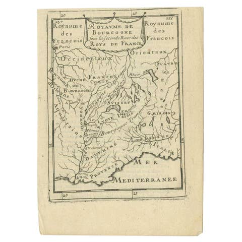
A charming late 17th century French map with a very decorative title cartouche showing trumpet-blowing cherubs, by Allain Manneson Mallet (1630-1706), a well traveled military engineer and geographer who worked in 17th century France under King Louis XIV.

This map originates from "Description de l'Univers", contenant les differents systemes du Monde (..) par Allain Manesson Mallet. Paris, Chez Denys Thierry, Rue S. Jacques, MDCLXXXIII (First edition, Paris, 1683). French text on verso.

More from France

Ask about this sheet

Antique Map of Japan by Allain Manesson Mallet, France, 1683
1683 · Ref. BG-09353 · € 290
We reply by email, usually within one working day.