Maps & PrintsBartele Gallery · Langweer
Home / Antique Maps / Europe / Western Europe / The Netherlands & Belgium / Province of Friesland

Province of Friesland · 16th century

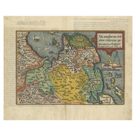
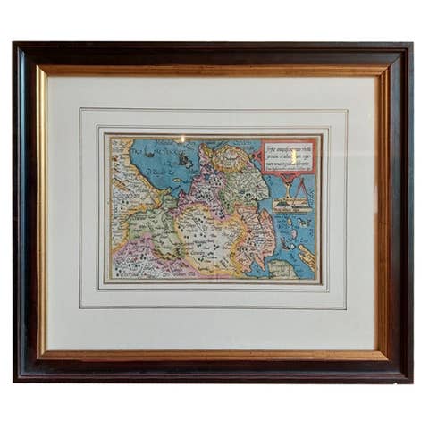
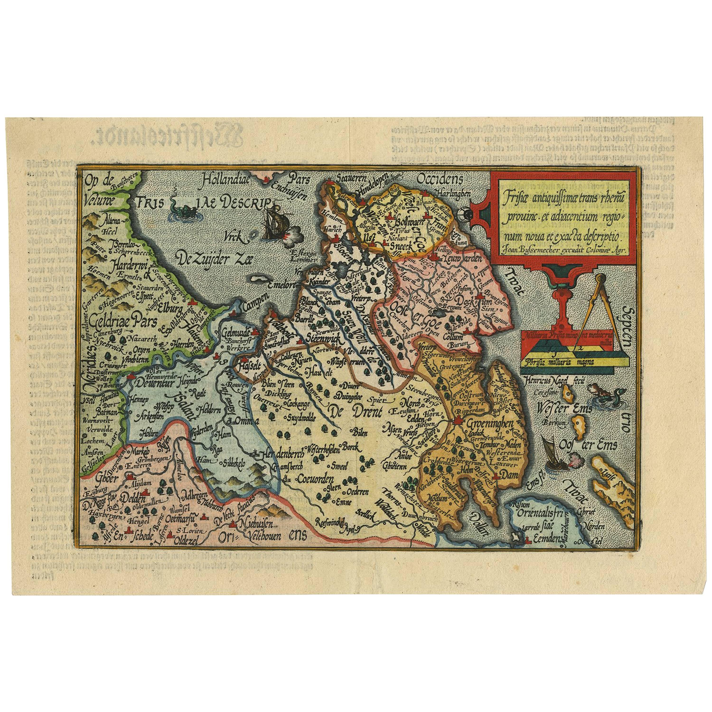
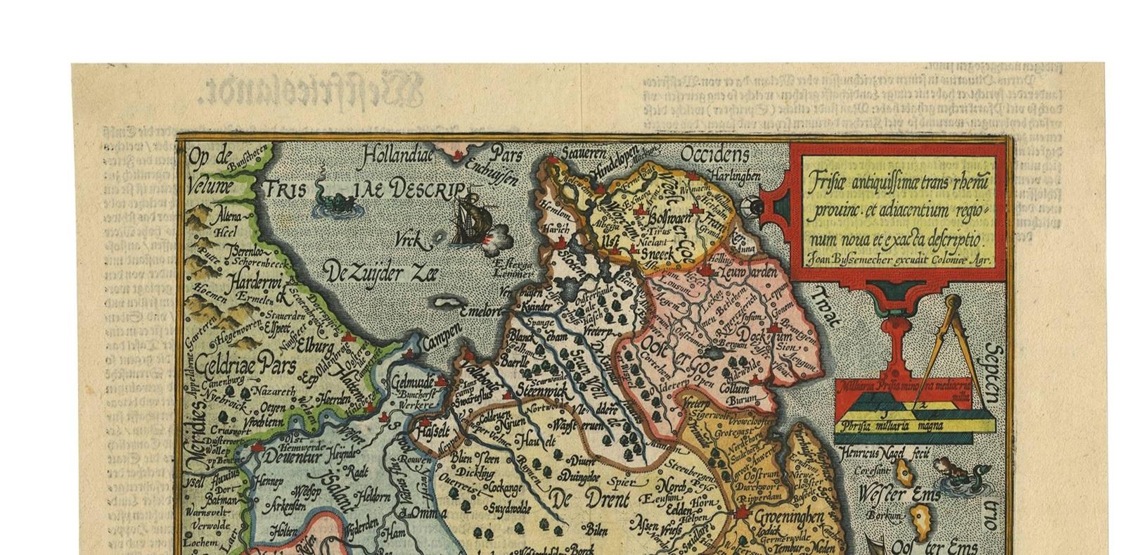
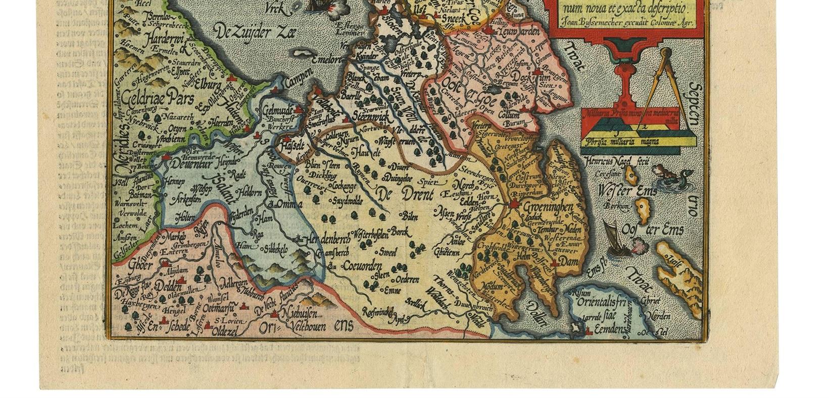
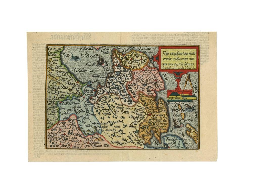
Antique Map of Friesland 'The Netherlands' by J. Bussemacher, 1596

€ 580

One of a kind: this is the sheet in the photographs. Ships from Langweer, the Netherlands.

Date
1596
Mapmaker / artist
Johann Bussemacher (Artist)
Technique
Engraved
Sheet size
23 × 33 cm (9.1 × 13.0 in)
Condition
Good
Reference
BG-00234

Condition

Please study image carefully.
About this sheet

Beautiful hand-colored engraving of the province Friesland (The Netherlands). This map originates from the Atlas 'Europae totius orbis terrarium partis praestantissimae, universalis et particularis descriptio' by M. Quad/J. Bussemacher (1596).

More from Province of Friesland

Ask about this sheet

Antique Map of Friesland 'The Netherlands' by J. Bussemacher, 1596
1596 · Ref. BG-00234 · € 580
We reply by email, usually within one working day.