Maps & PrintsBartele Gallery · Langweer
Home / Antique Maps / Africa

Africa · 17th century

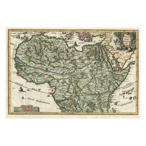
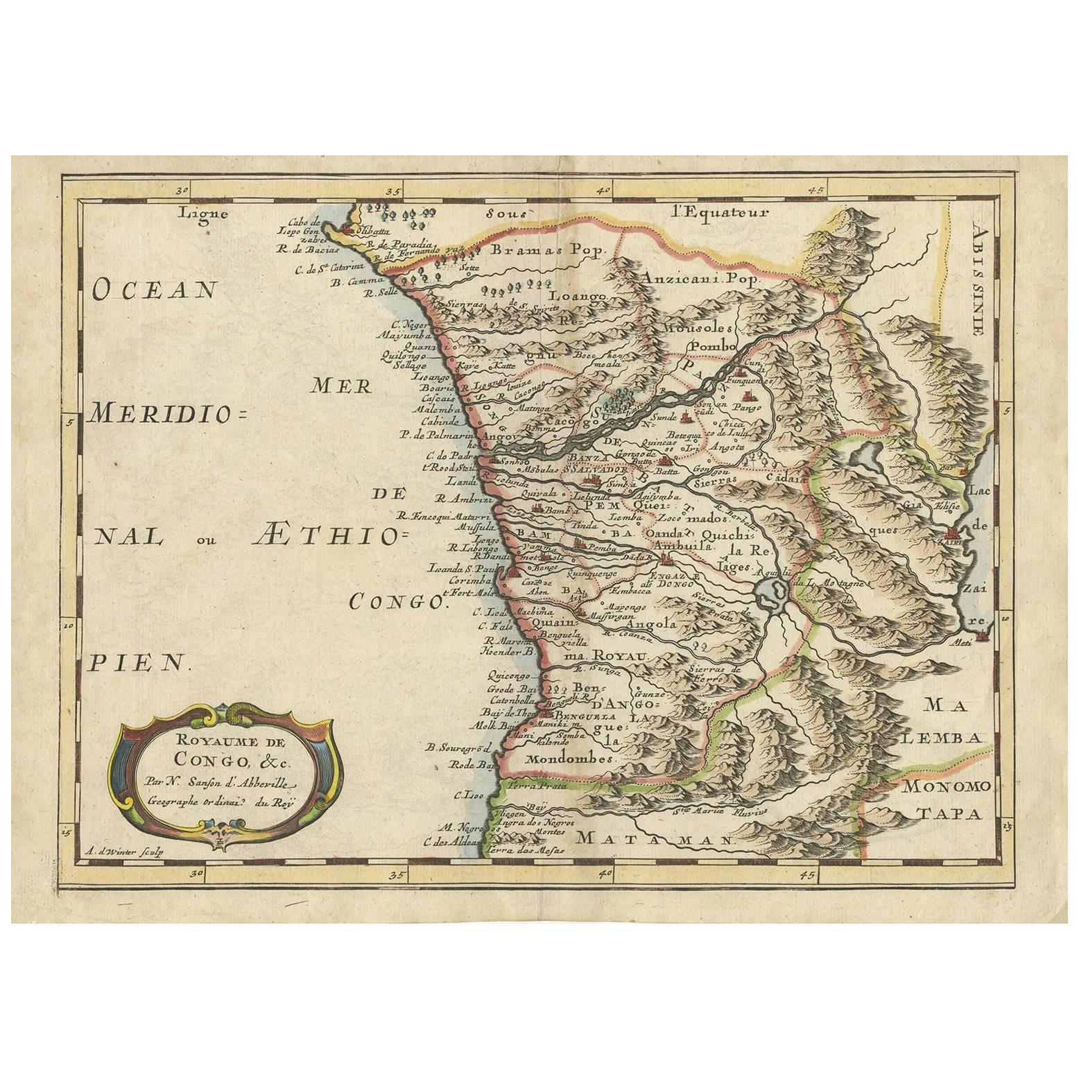
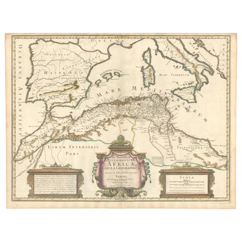
Antique Map of the Congo, Gabon and Angola by N. Sanson, circa 1700

€ 259

One of a kind: this is the sheet in the photographs. Ships from Langweer, the Netherlands.

Date
1700
Technique
Engraved
Sheet size
21.4 × 29.5 cm (8.4 × 11.6 in)
Condition
Good
Reference
BG-09396

Condition

Good. Please study image carefully.
About this sheet

Attractive map of Gabon, the Congo and Angola from Cape Lopez and Sao Tomé to approximately the border with present-day Namibia. The map is fully engraved with mountains, rivers, forests and trails and decorated with a strapwork title cartouche. Engraved by Antoine d'Winter for a Dutch edition of Sanson's pocket atlas.

More from Africa

Ask about this sheet

Antique Map of the Congo, Gabon and Angola by N. Sanson, circa 1700
1700 · Ref. BG-09396 · € 259
We reply by email, usually within one working day.