Maps & PrintsBartele Gallery · Langweer
Home / Antique Maps / Europe / Southern Europe

Southern Europe · 18th century

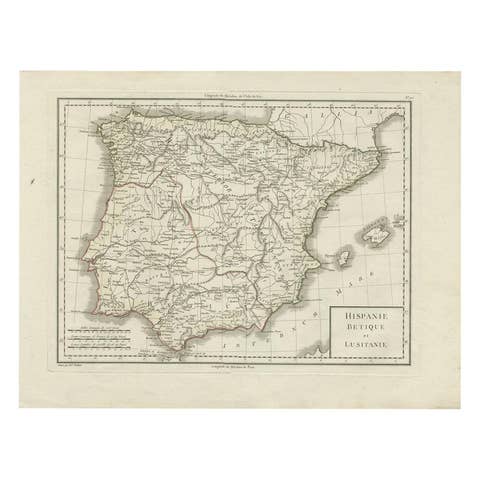
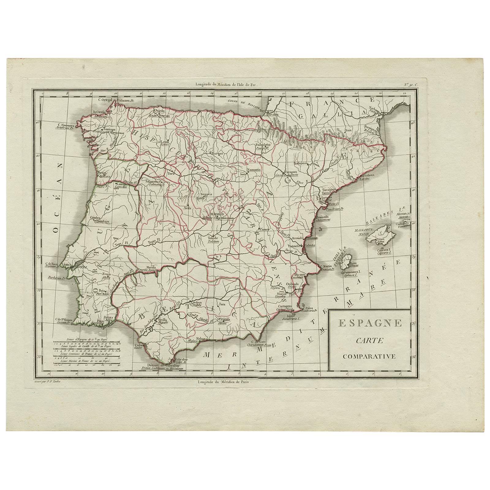
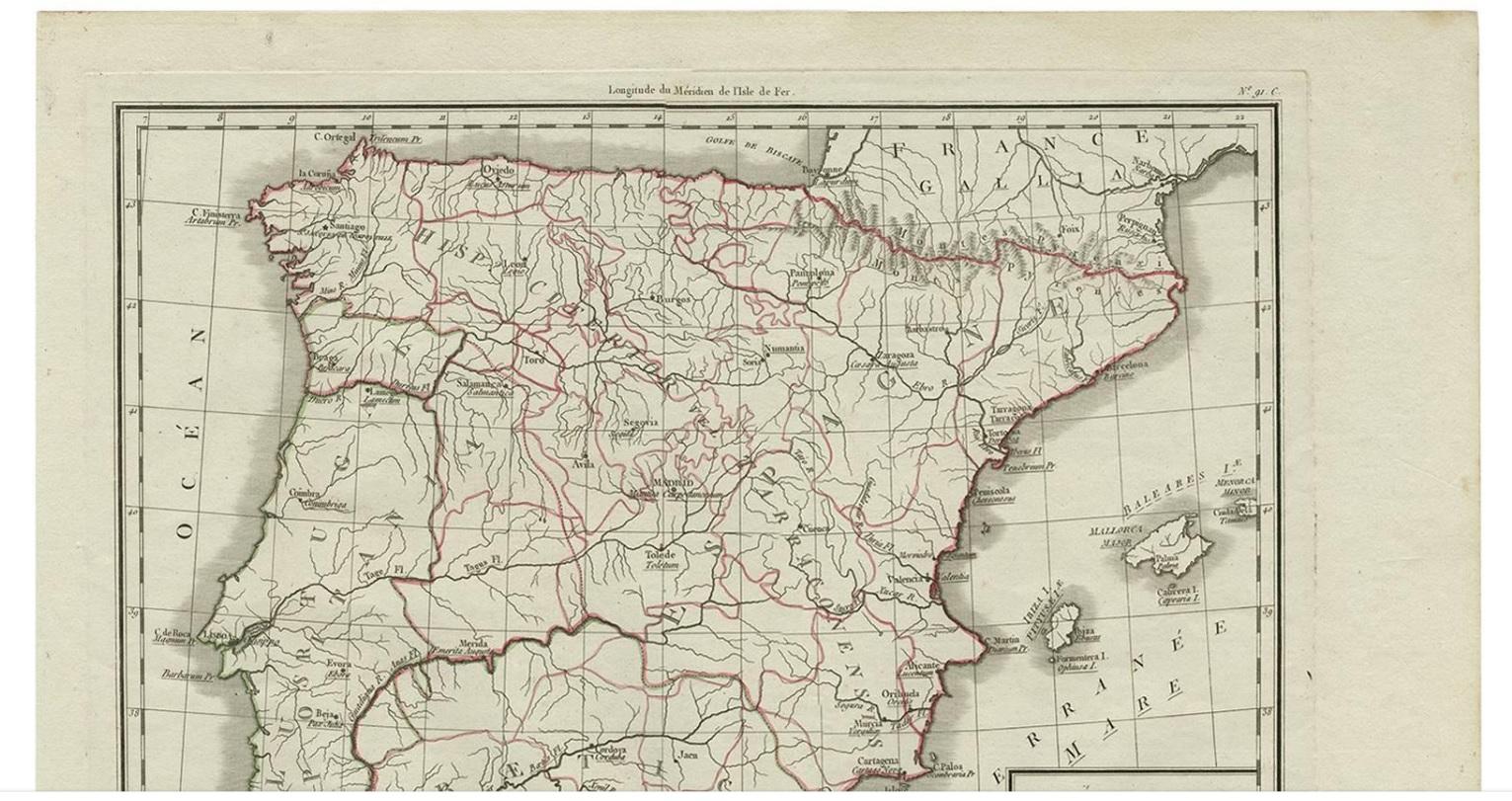
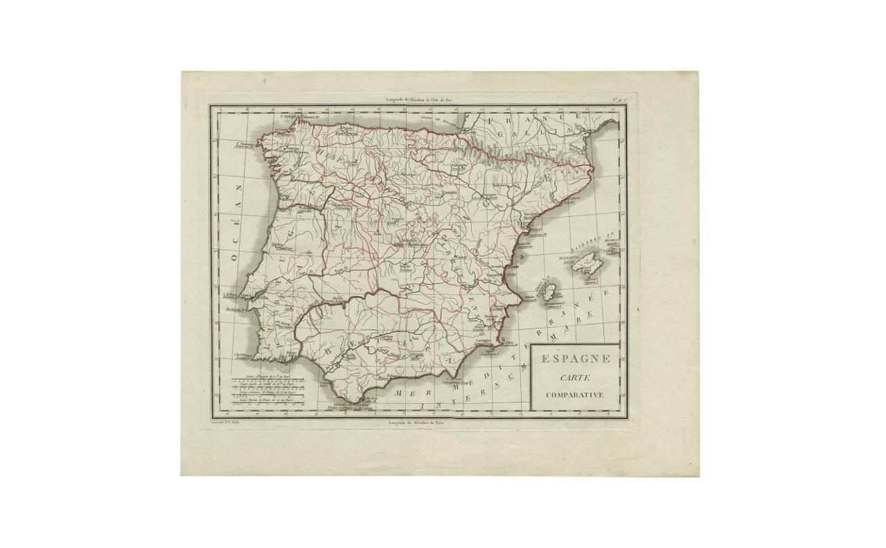
Antique Map of Spain by P.F. Tardieu, circa 1798

€ 175

One of a kind: this is the sheet in the photographs. Ships from Langweer, the Netherlands.

Date
1798
Mapmaker / artist
Pierre François Tardieu (Artist)
Technique
Engraved
Sheet size
41 × 52.8 cm (16.1 × 20.8 in)
Condition
Good
Reference
BG-00411

Condition

Very good. Please study image carefully.

About this sheet

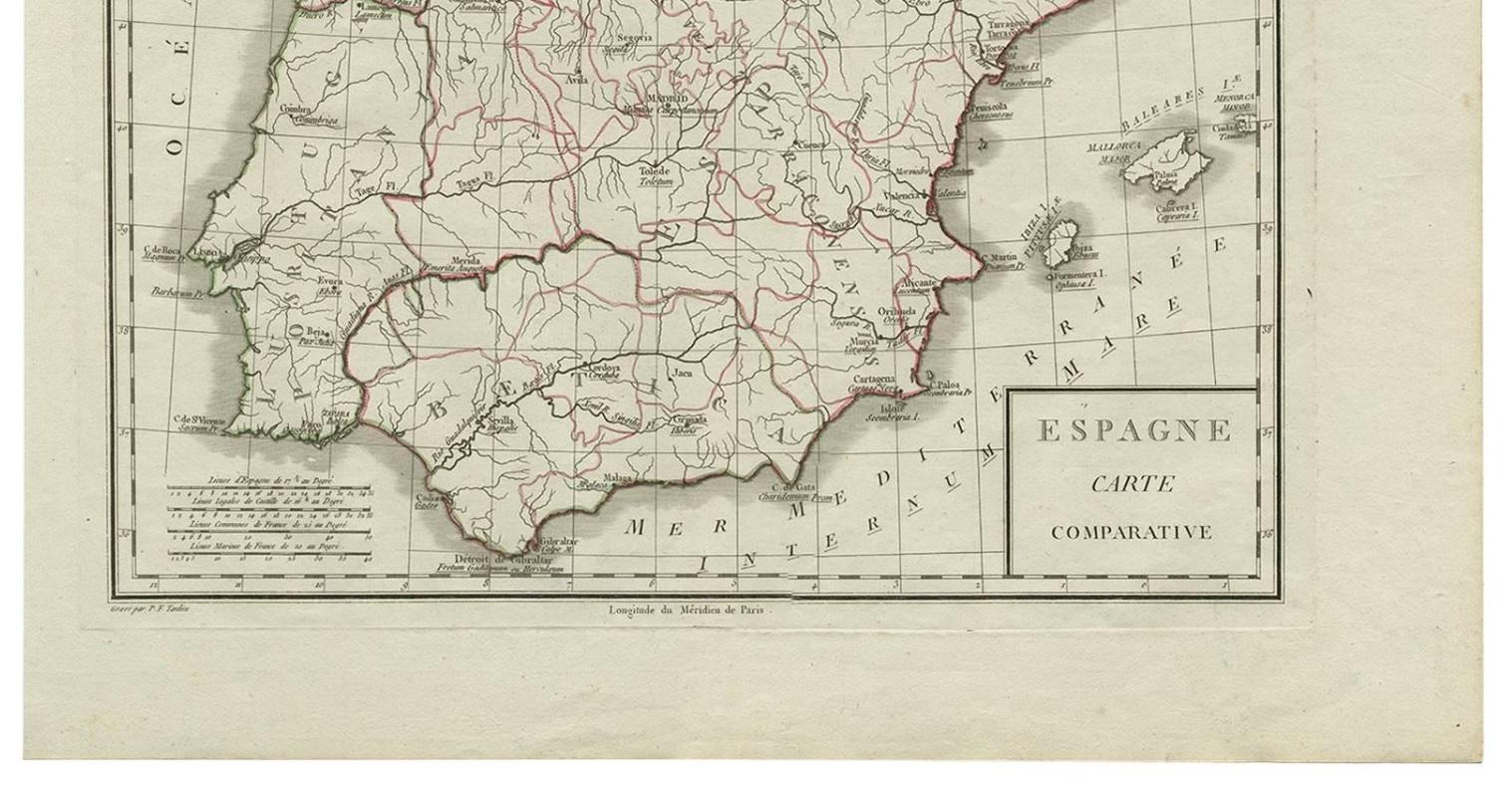
Antique map titled 'Espagne carte comparative', showing river systems, the modern states of Spain and Portugal and the Roman provinces of Lusitania, Beatica & Hispania Tarraconensis. This map originates from 'Atlas universel de geographie physique et politique, ancienne et moderne', by Edme Mentelle & PG Chanlaire, Paris.

More from Southern Europe

Ask about this sheet

Antique Map of Spain by P.F. Tardieu, circa 1798
1798 · Ref. BG-00411 · € 175
We reply by email, usually within one working day.