Maps & PrintsBartele Gallery · Langweer
Home / Antique Maps / Europe / Southern Europe

Southern Europe · 17th century

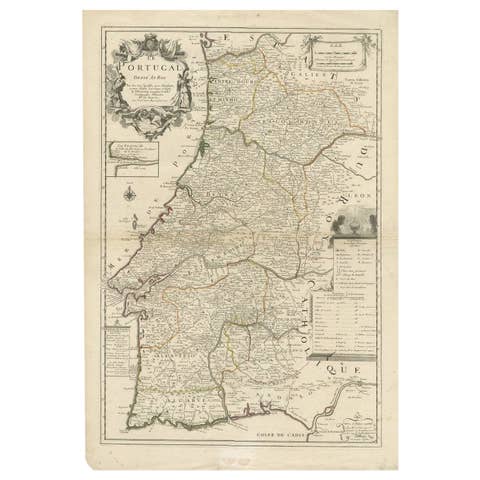
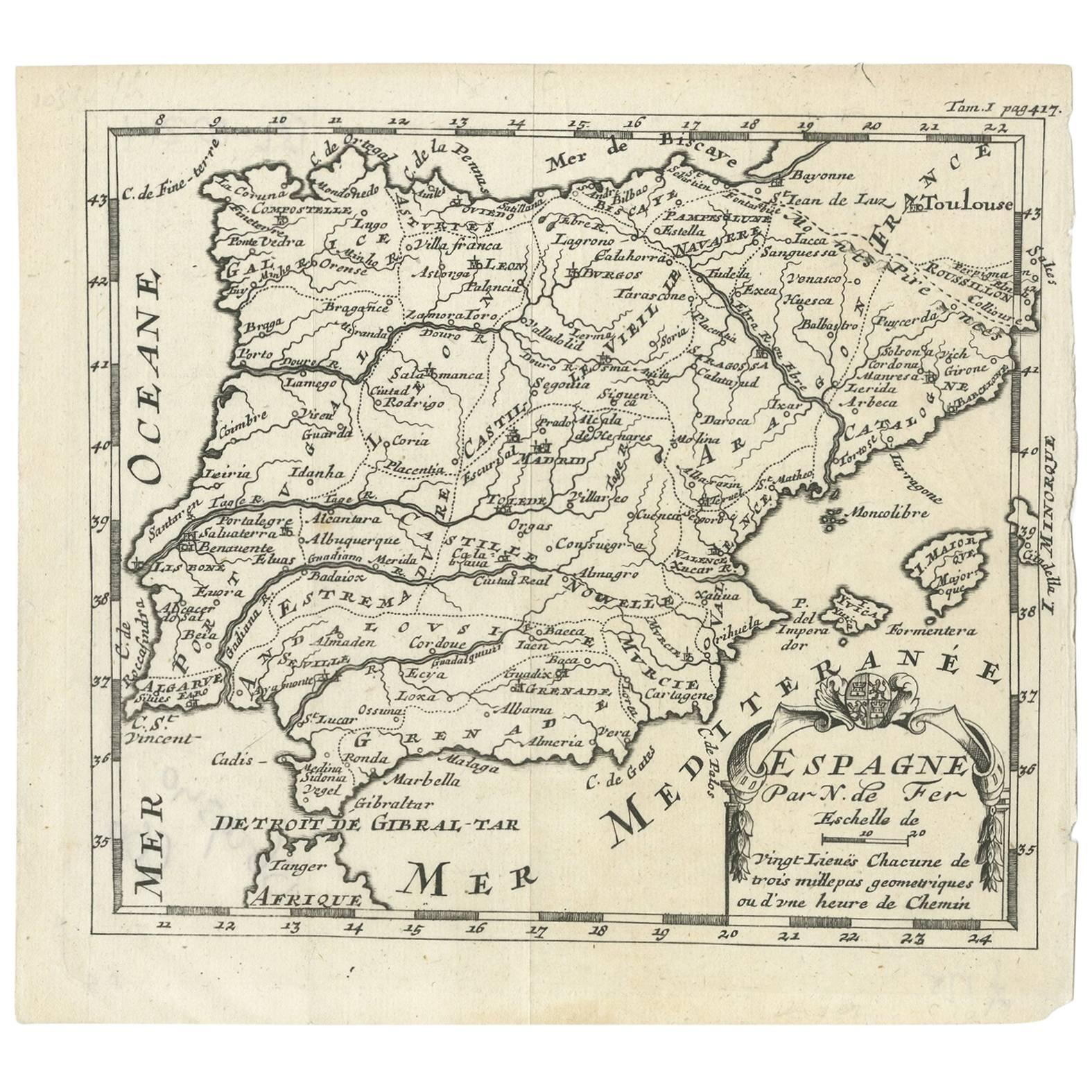
Antique 1700 Map of Spain by Nicolas de Fer, Early 18th Century

€ 160

One of a kind: this is the sheet in the photographs. Ships from Langweer, the Netherlands.

Date
1700
Sheet size
15.8 × 17.3 cm (6.2 × 6.8 in)
Condition
Good
Reference
BG-09340

Condition

Good. Please study image carefully.
About this sheet

Antique map of Spain and Portugal with a title cartouche. Nicolas de Fer was the youngest son of the Paris printer and publisher Antoine de Fer. At the age of twelve he began an as an engraver. After his father's death in 1673 he became publisher.

More from Southern Europe

Ask about this sheet

Antique 1700 Map of Spain by Nicolas de Fer, Early 18th Century
1700 · Ref. BG-09340 · € 160
We reply by email, usually within one working day.