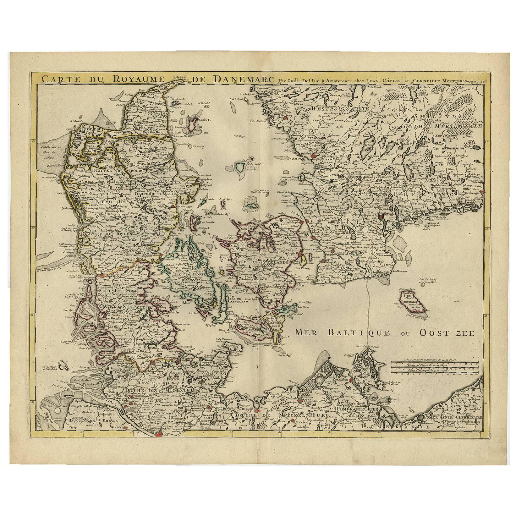
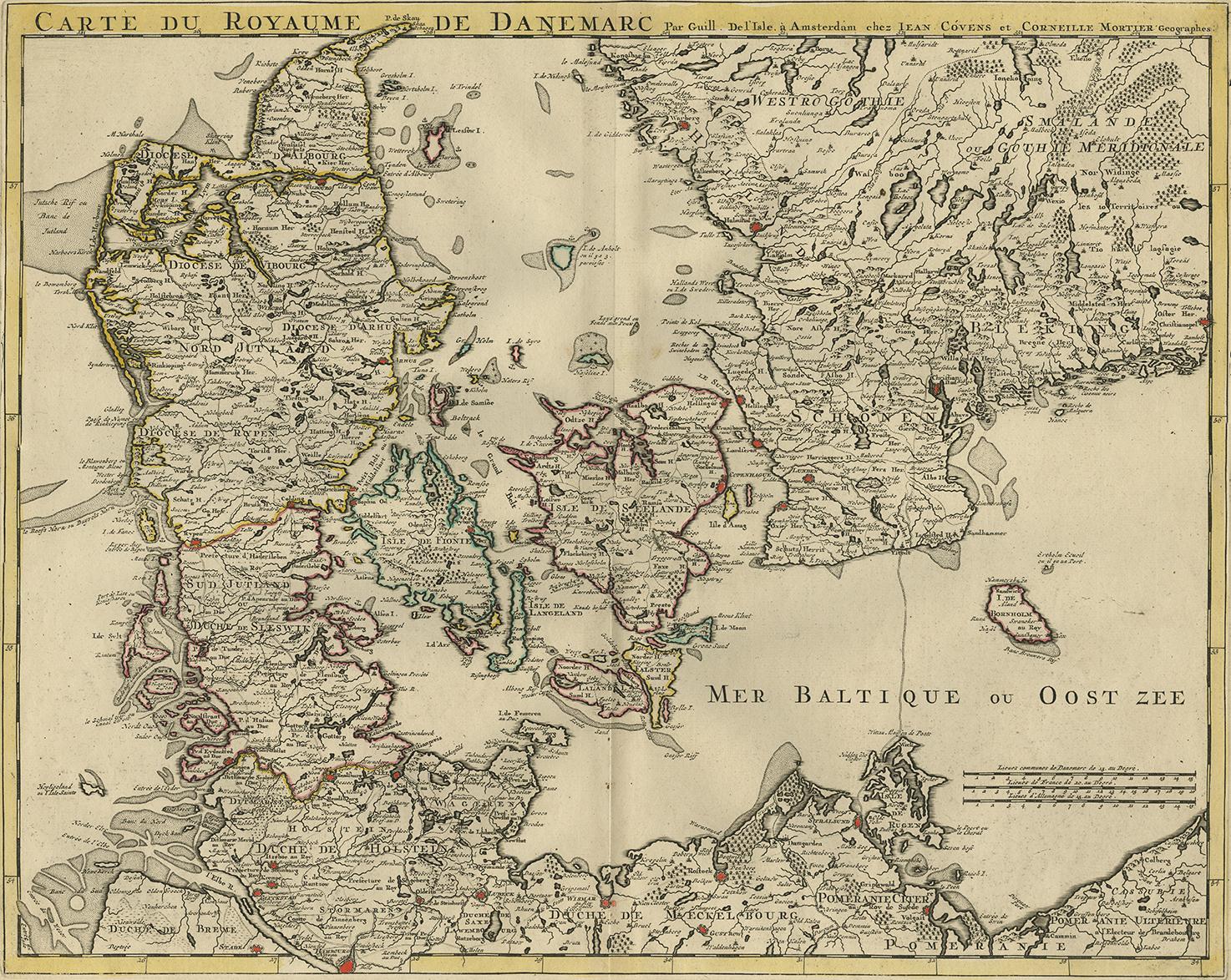
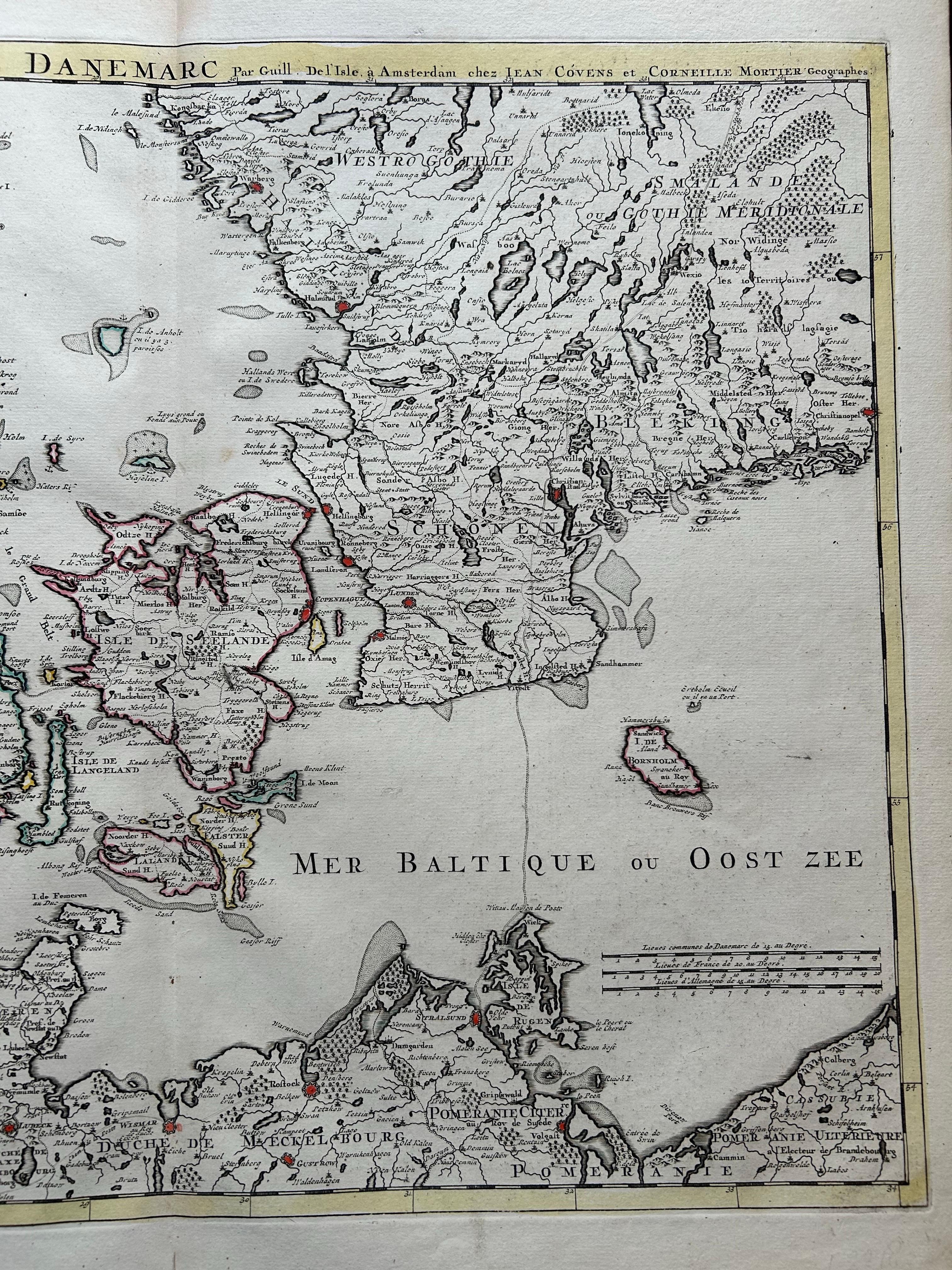
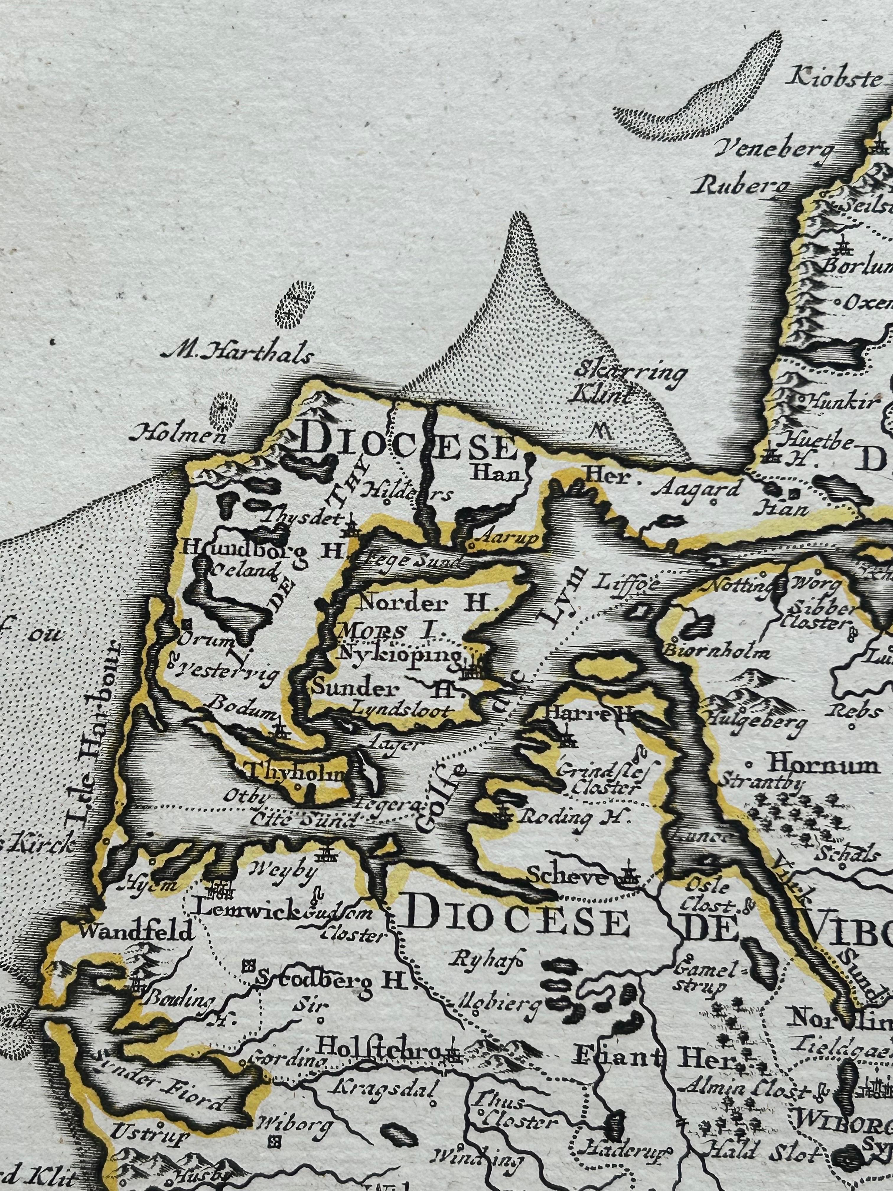
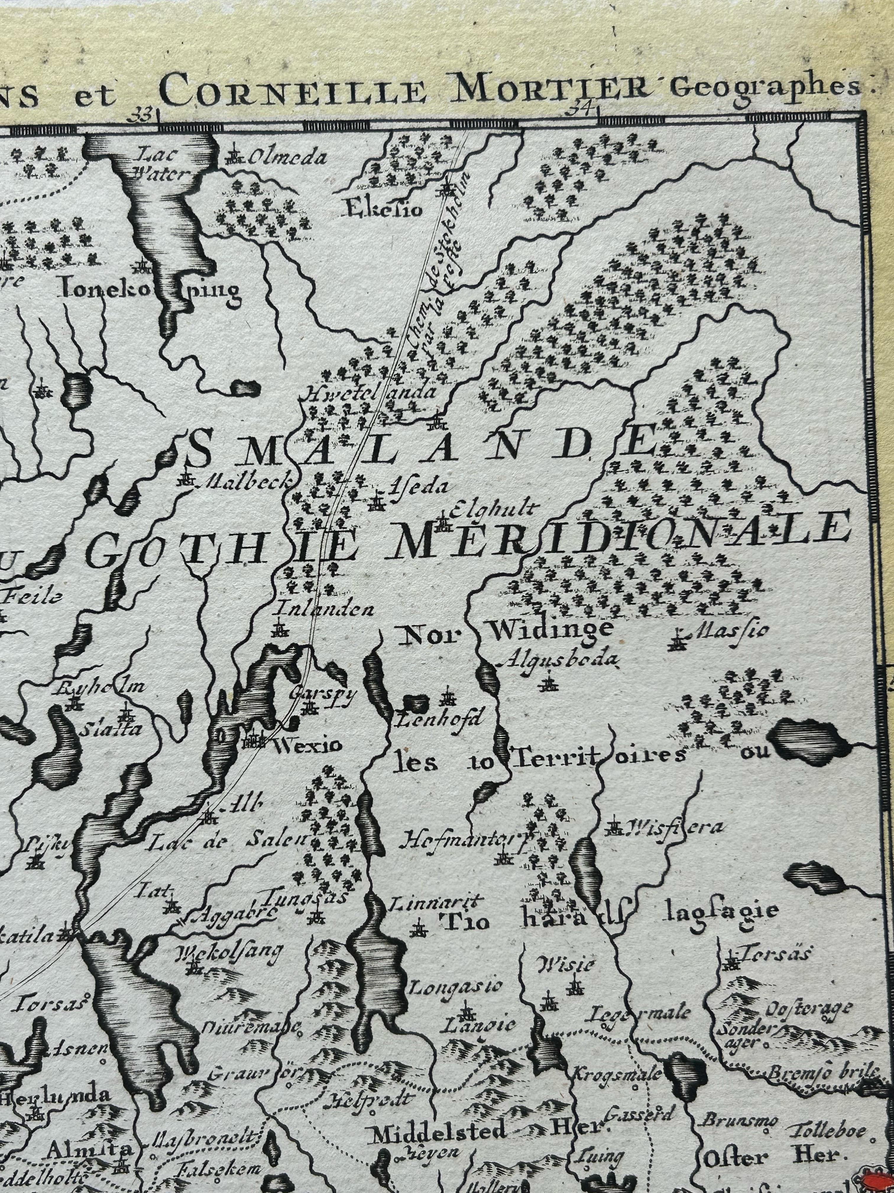
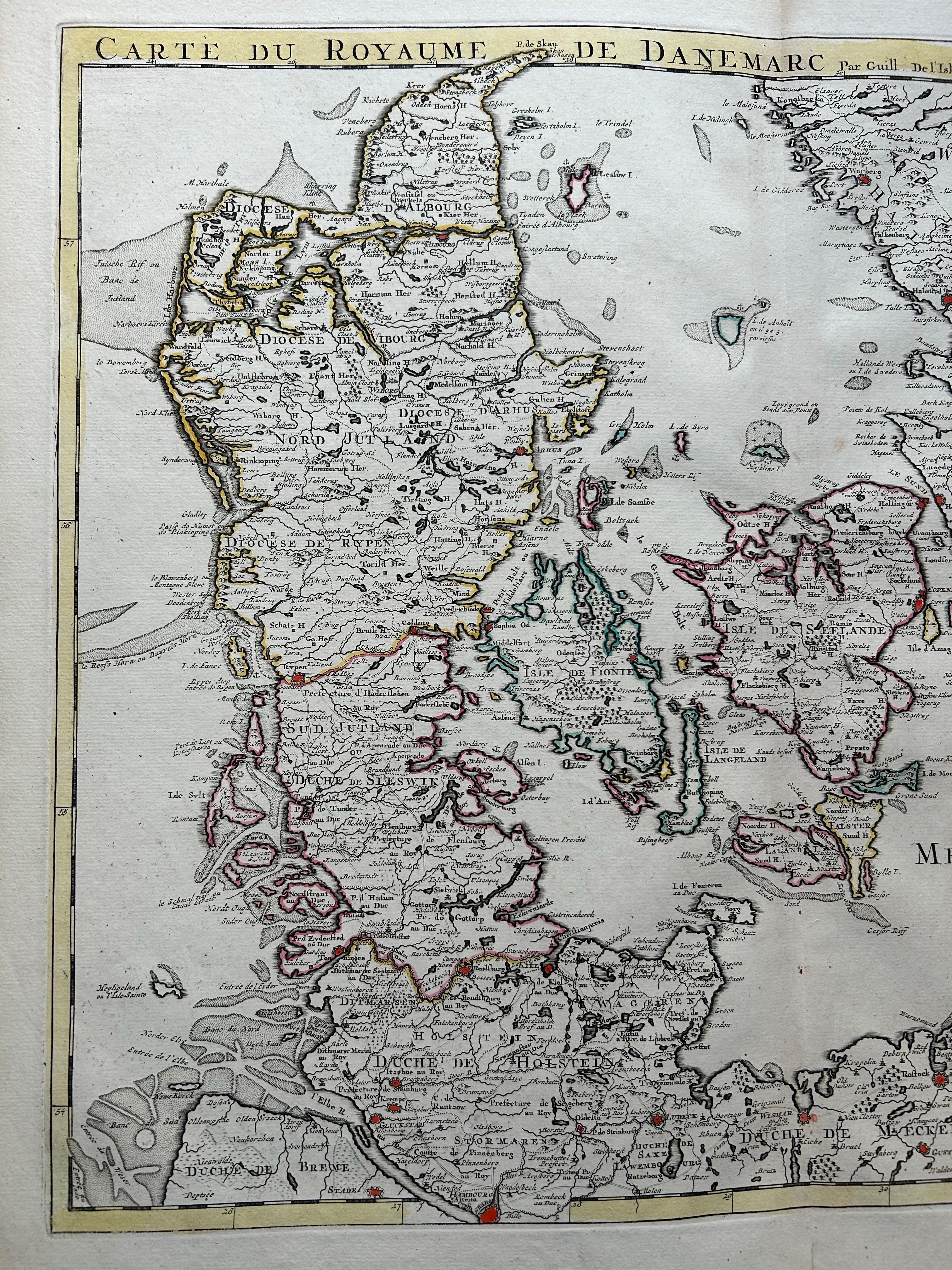
Denmark and Baltic Region – Antique Map by Guillaume de l’Isle, c.1730
€ 590
One of a kind: this is the sheet in the photographs. Ships from Langweer, the Netherlands.
Date
1730
Mapmaker / artist
Covens & Mortier (Artist)
Sheet size
54 × 65.5 cm (21.3 × 25.8 in)
Condition
Good
Reference
BGI-00095
Condition
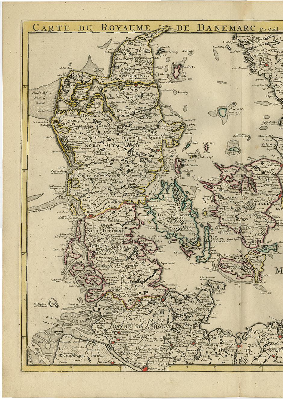
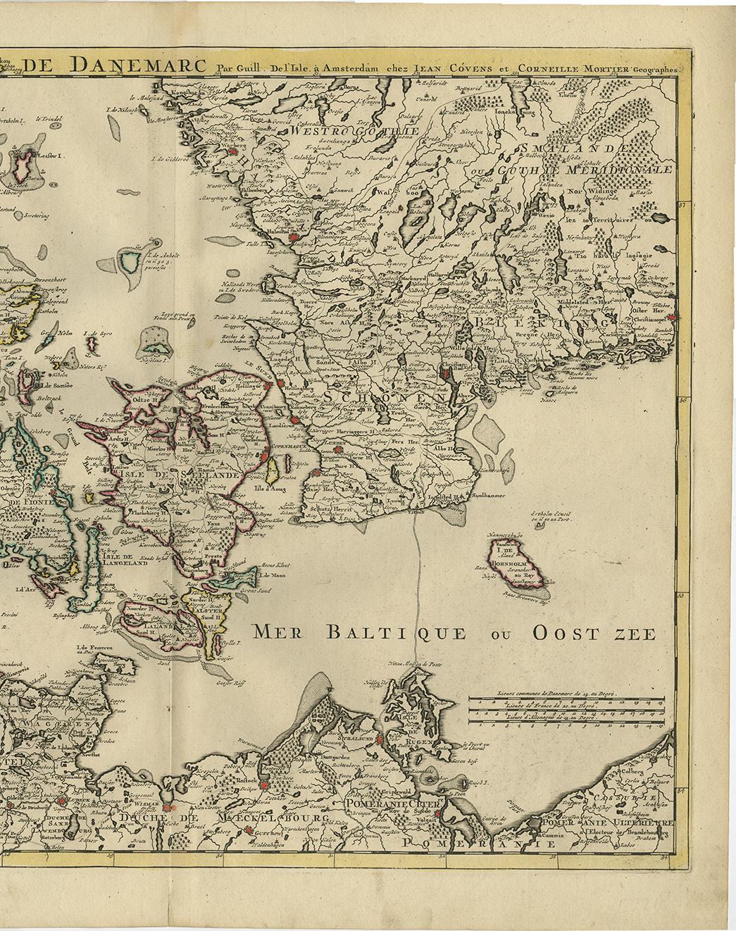
Very good overall. Strong impression with original hand coloring. A few faint spots along centerfold. Wide margins all around.
About this sheet
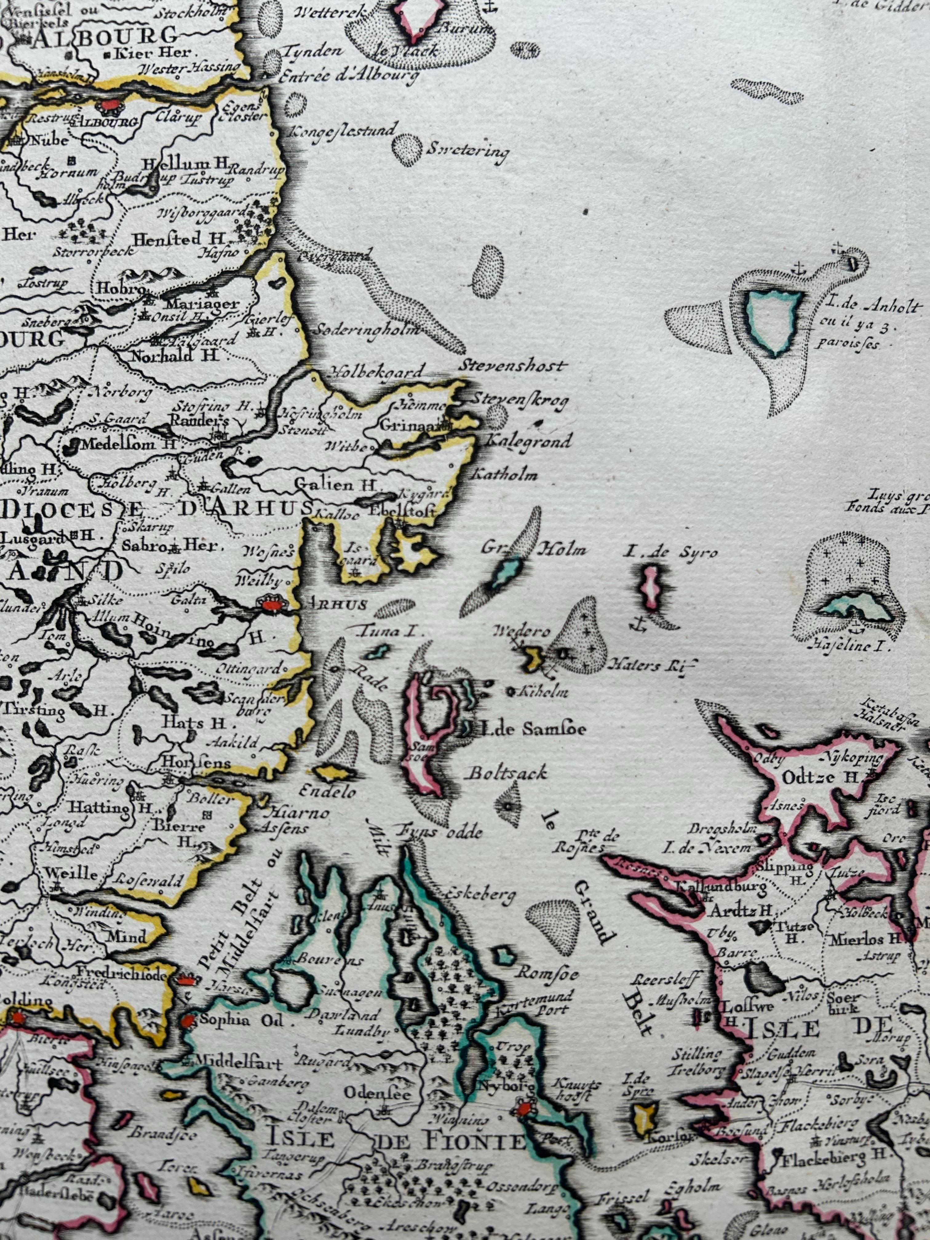
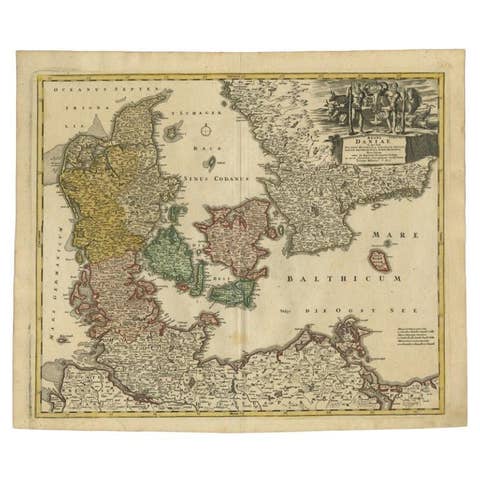
Denmark and Baltic Region – Antique Map by Guillaume de l’Isle, c.1730
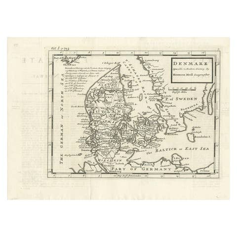
This antique map titled Carte du Royaume de Danemark is a detailed 18th-century depiction of Denmark and its surrounding regions. Originally created by renowned French cartographer Guillaume de l’Isle, the map was published around 1730 by the Dutch publishers Covens & Mortier in Amsterdam, who were known for issuing updated and accessible versions of the most important contemporary cartographic works.
The map covers the entirety of the Kingdom of Denmark, including Jutland, the islands of Zealand, Funen, Langeland, and surrounding archipelagos. Parts of present-day northern Germany and southern Sweden are also visible, providing helpful geopolitical context. Key cities such as Copenhagen, Odense, and Aarhus are marked, along with provincial boundaries, rivers, forests, and road networks.
Guillaume de l’Isle (1675–1726) was considered one of the most important geographers of his time. He was known for his scientific approach to cartography, using the latest astronomical observations and geographic reports to increase accuracy. This map reflects his signature style: elegant design, clear typography, and a focus on empirical precision.
The map includes a decorative cartouche at upper left, and numerous place names are given in French. The title also indicates the presence of royal post roads and new subdivisions. The Baltic Sea, labeled Mer Baltique ou Orientale, is prominently featured, emphasizing Denmark’s maritime importance in trade and naval power during the early 18th century.
Condition report: Very good overall. Strong impression with original hand coloring. A few faint spots along centerfold. Wide margins all around.
Framing tips: A warm-toned gold or dark wood frame will enhance the cartographic elegance. Use a soft ivory mat to highlight the antique paper and delicate color work.