Maps & PrintsBartele Gallery · Langweer
Home / Antique Maps / Europe / Western Europe / The Netherlands & Belgium

The Netherlands & Belgium · 18th century

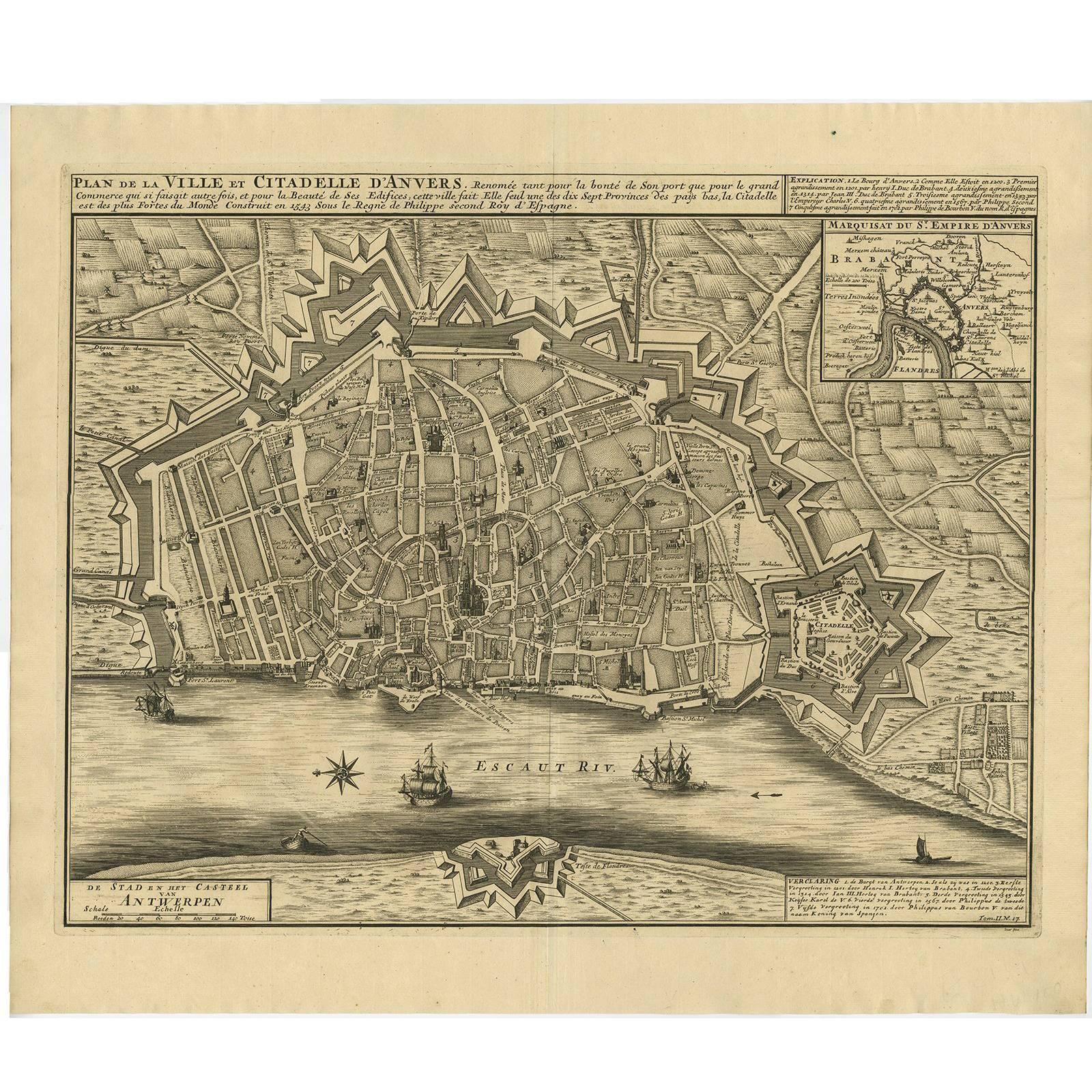
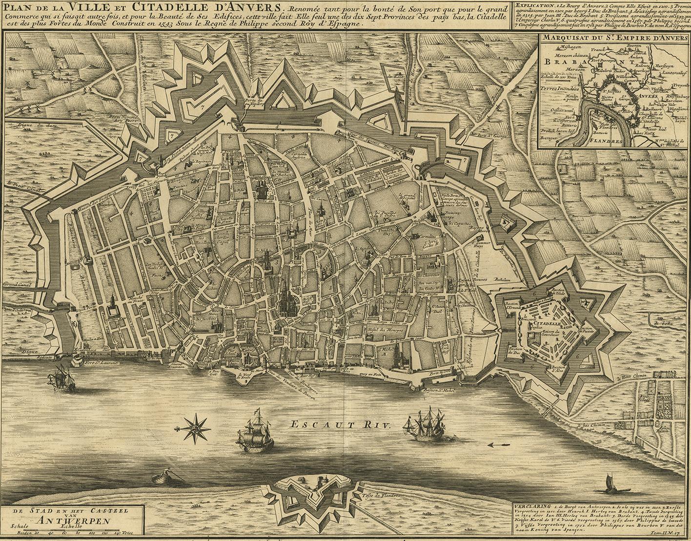
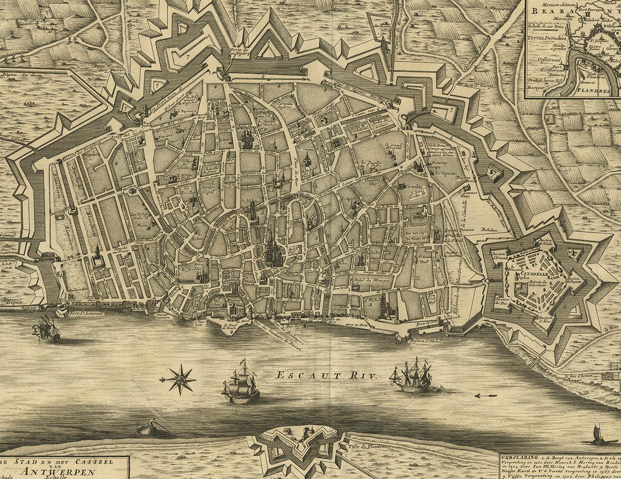
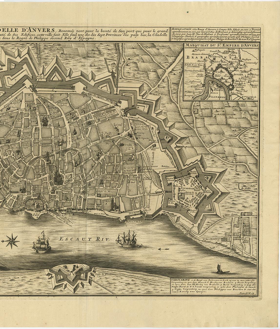
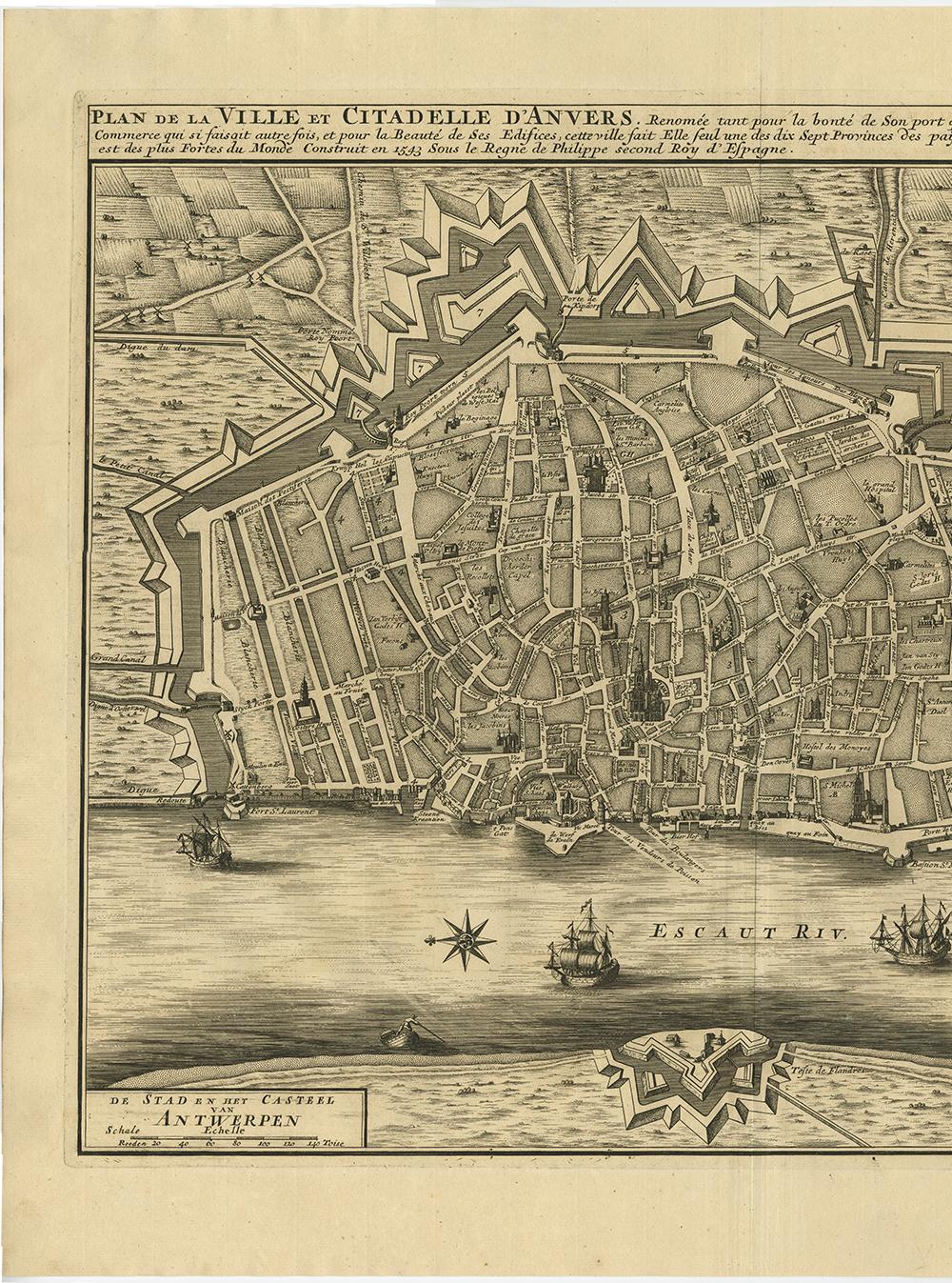
Antique Map of the City of Antwerpen ‘Belgium’ by A. Deur, 1729

€ 770

One of a kind: this is the sheet in the photographs. Ships from Langweer, the Netherlands.

Date
1729
Sheet size
51.5 × 61 cm (20.3 × 24.0 in)
Condition
Good
Reference
BGI-00099

Condition

Please study image carefully.
About this sheet

Copper-engraving by A. Deur. Published by I. van der Kloot in Den Haag, 1729. With French and Dutch title-cartouches and explanatory notes, several ships on the Scheldt river and inset map of "Marquisat du St. Empire d'Anvers".

More from The Netherlands & Belgium

Ask about this sheet

Antique Map of the City of Antwerpen ‘Belgium’ by A. Deur, 1729
1729 · Ref. BGI-00099 · € 770
We reply by email, usually within one working day.