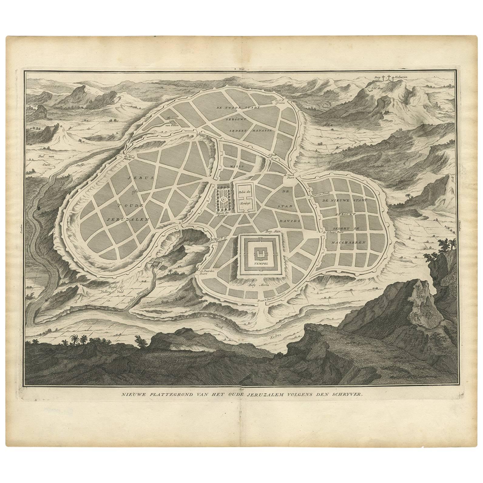
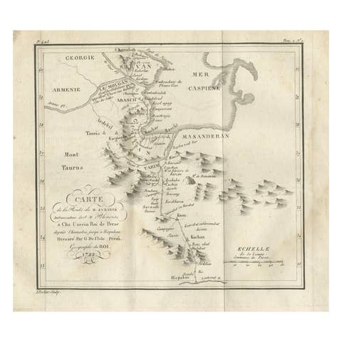
Antique Map of the Ancient City of Jerusalem by A. Calmet, 1725
€ 360
One of a kind: this is the sheet in the photographs. Ships from Langweer, the Netherlands.
Date
1725
Technique
Engraved
Sheet size
39.9 × 46.7 cm (15.7 × 18.4 in)
Condition
Good
Reference
BGI-01080
Condition
Good. Please study image carefully.
About this sheet
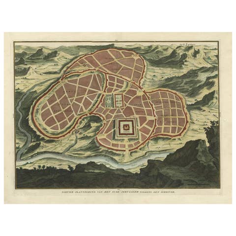
Antique map, titled: 'Nieuwe Plattegrond van het Oude Jeruzalem Volgens den Schryver.' - Bird's-eye view of the ancient city of Jerusalem shows its divisions with prominent depictions of the Temple of Solomon and the royal palace and gardens. The map is oriented with west at top, with the Calvary outside the city walls at top right.