Maps & PrintsBartele Gallery · Langweer
Home / Antique Maps / Europe / Western Europe / The Netherlands & Belgium

The Netherlands & Belgium · 17th century

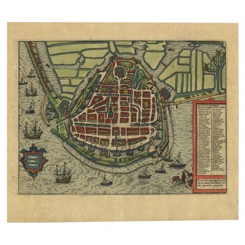
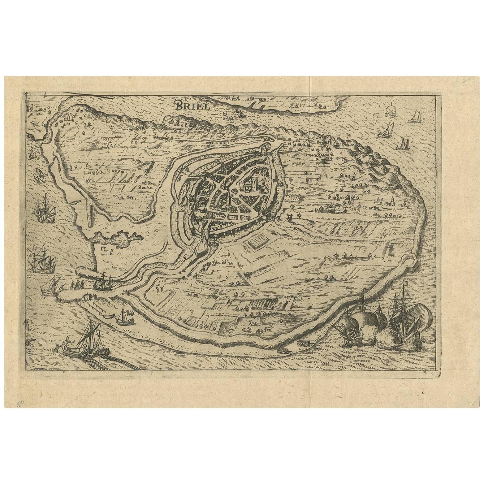
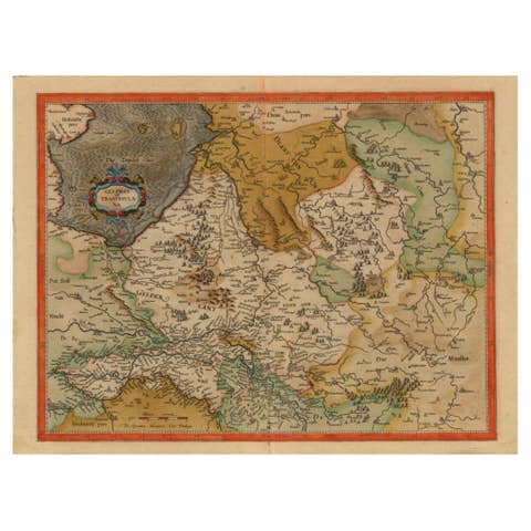
Antique Map of Brielle, Netherlands by L. Guicciardini, 1625 Edition

€ 180

One of a kind: this is the sheet in the photographs. Ships from Langweer, the Netherlands.

Date
1625
Sheet size
19.5 × 27.3 cm (7.7 × 10.7 in)
Condition
Good
Reference
BG-09411

Condition

Minor fading. Good. Please study image carefully.
About this sheet

Plan of Brielle, Briel, Den Briel in the Province of Zuid-Holland, The Netherlands, Holland. This map originates from the 1625 edition of 'Discrittione di tutti i Paesi Bassi', by L. Guicciardini, published by J. Janssonius.

More from The Netherlands & Belgium

Ask about this sheet

Antique Map of Brielle, Netherlands by L. Guicciardini, 1625 Edition
1625 · Ref. BG-09411 · € 180
We reply by email, usually within one working day.