Sea Charts · 18th century
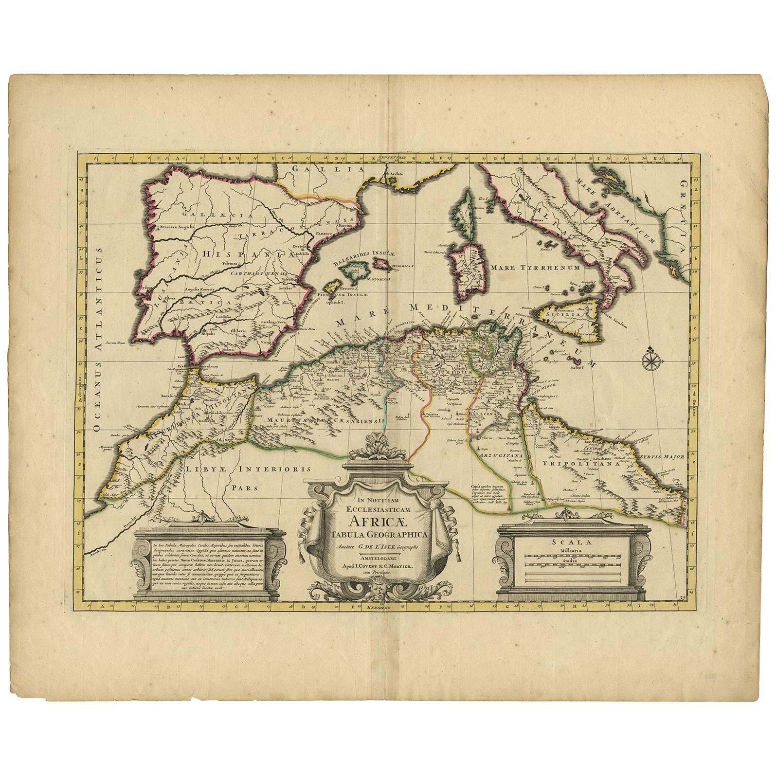
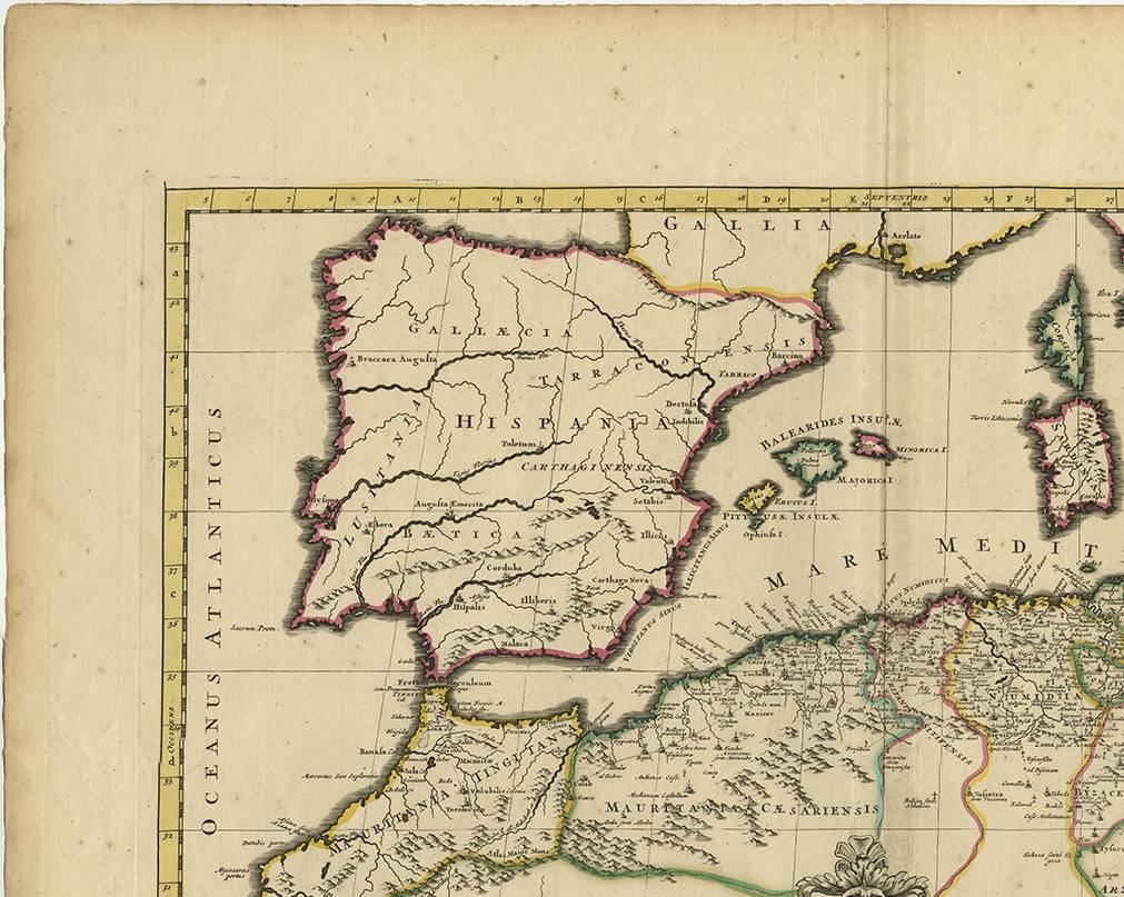
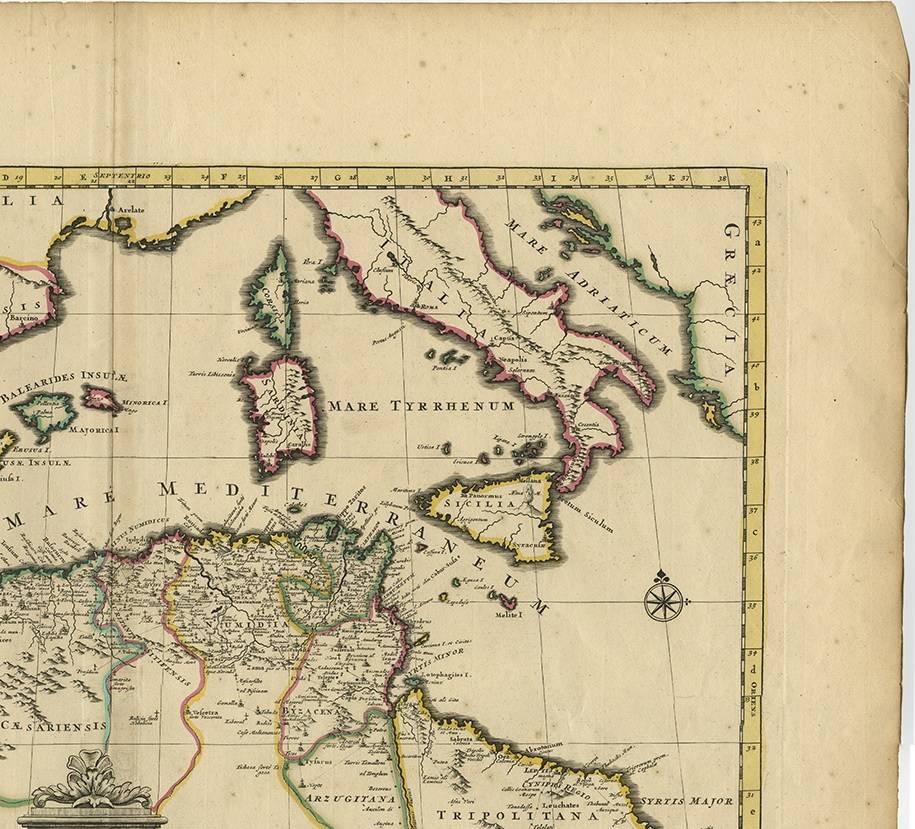
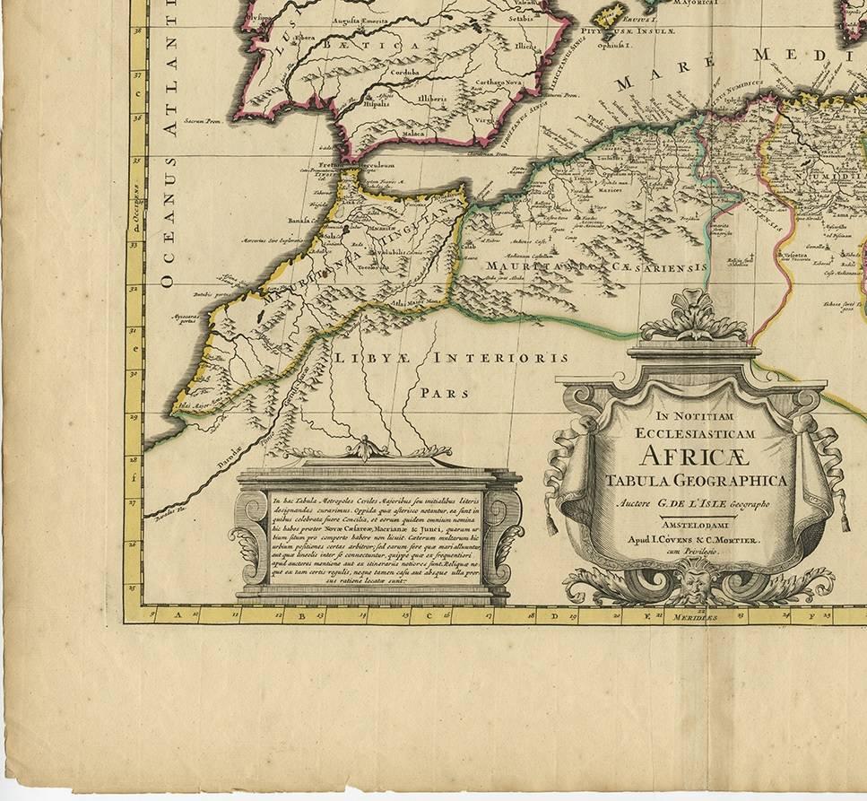
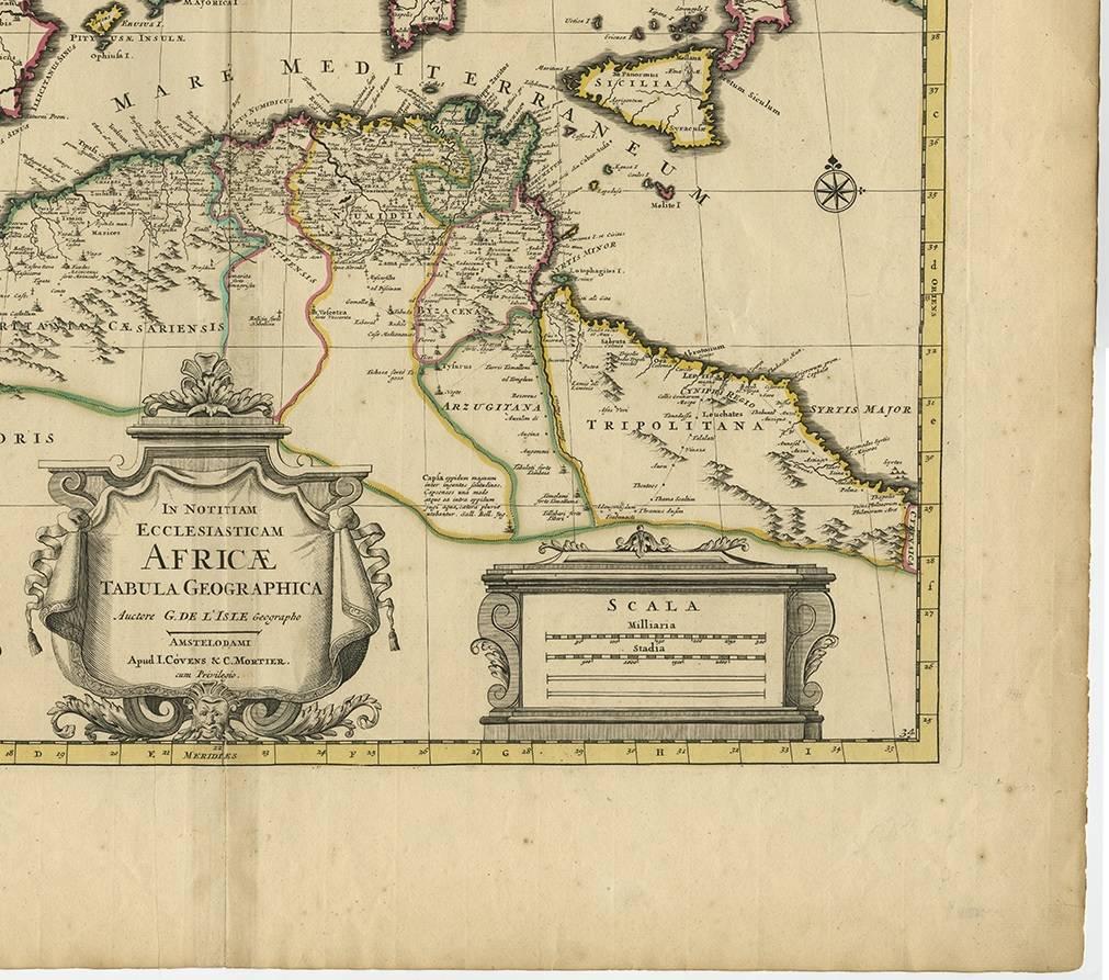
Antique Map of the Northern Coast of Africa and Southern Europe, circa 1745
€ 320
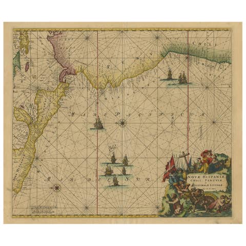
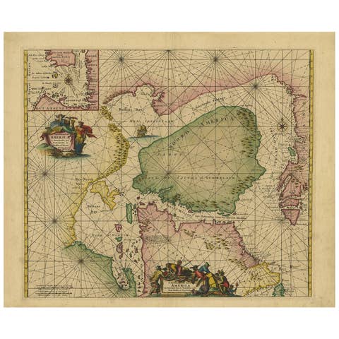
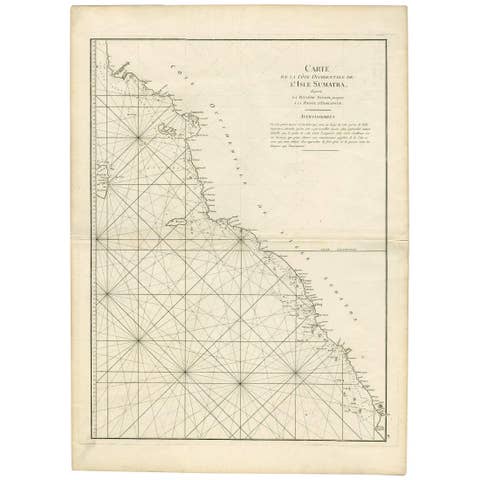
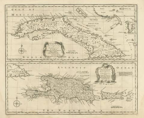
One of a kind: this is the sheet in the photographs. Ships from Langweer, the Netherlands.
- Date
- 1745
- Mapmaker / artist
- Covens & Mortier (Artist)
- Sheet size
- 53.5 × 64.5 cm (21.1 × 25.4 in)
- Condition
- Good
- Reference
- BG-00819
Condition
Original hand-colouring. Please study images carefully.