Maps & PrintsBartele Gallery · Langweer
Home / Antique Maps / Europe / South-East Europe

South-East Europe · 17th century

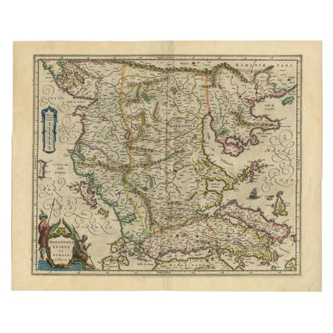
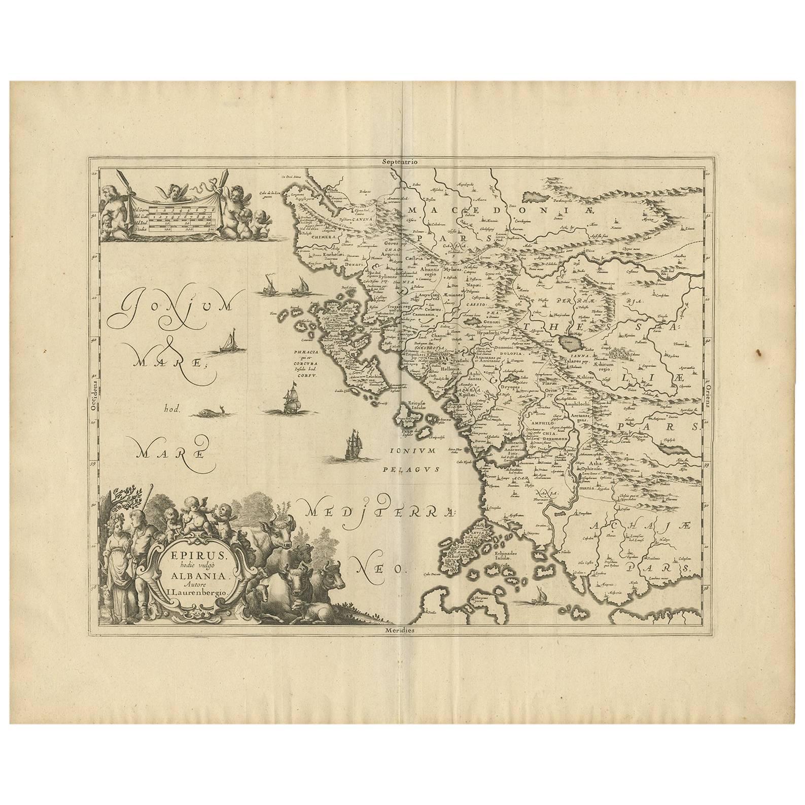
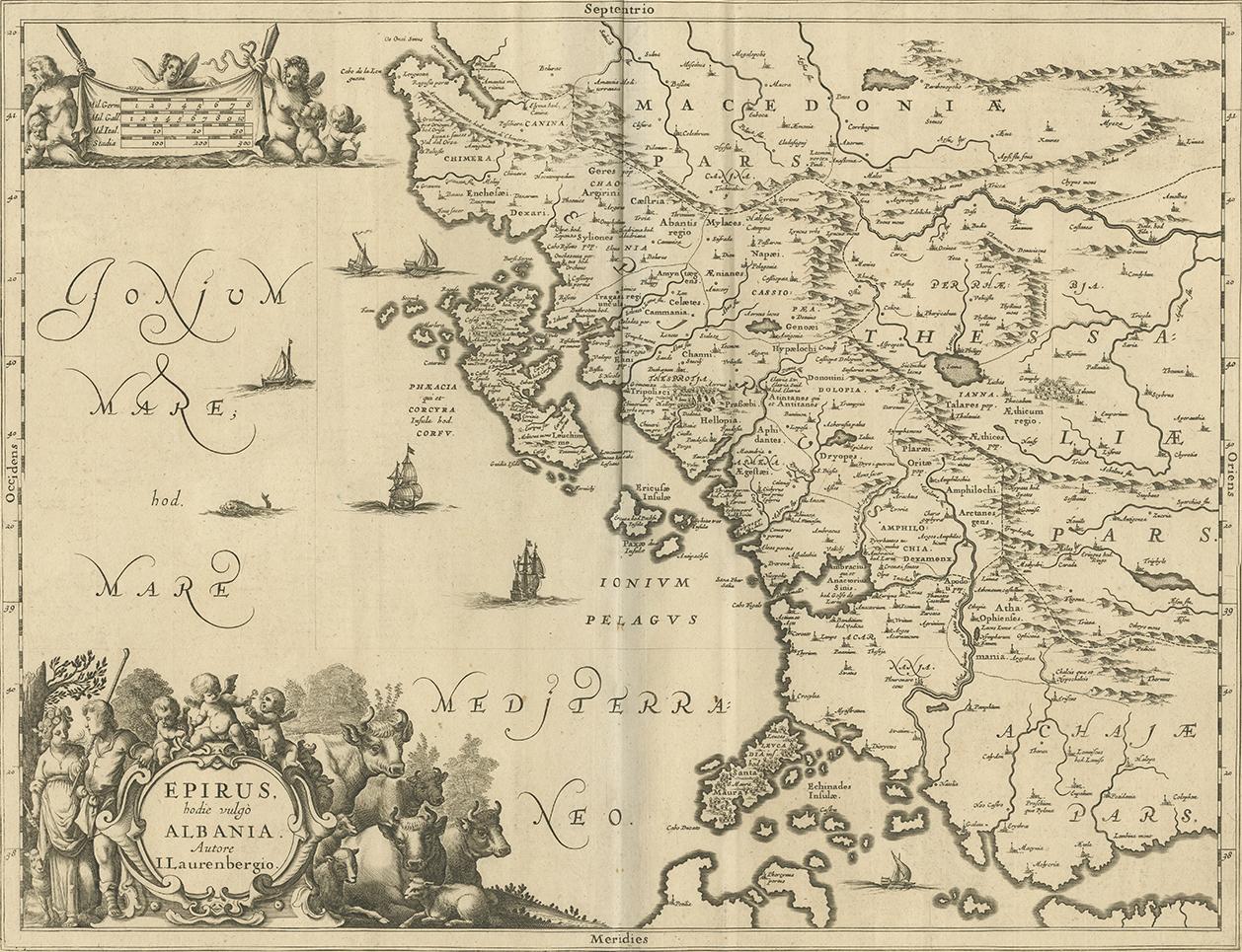
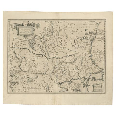
Antique Map of Epirus 'Albania, Greece' by J. Janssonius, circa 1650

€ 515

One of a kind: this is the sheet in the photographs. Ships from Langweer, the Netherlands.

Date
1650
Technique
Engraved
Sheet size
52.8 × 63.6 cm (20.8 × 25.0 in)
Condition
Good
Reference
BG-09201

Condition

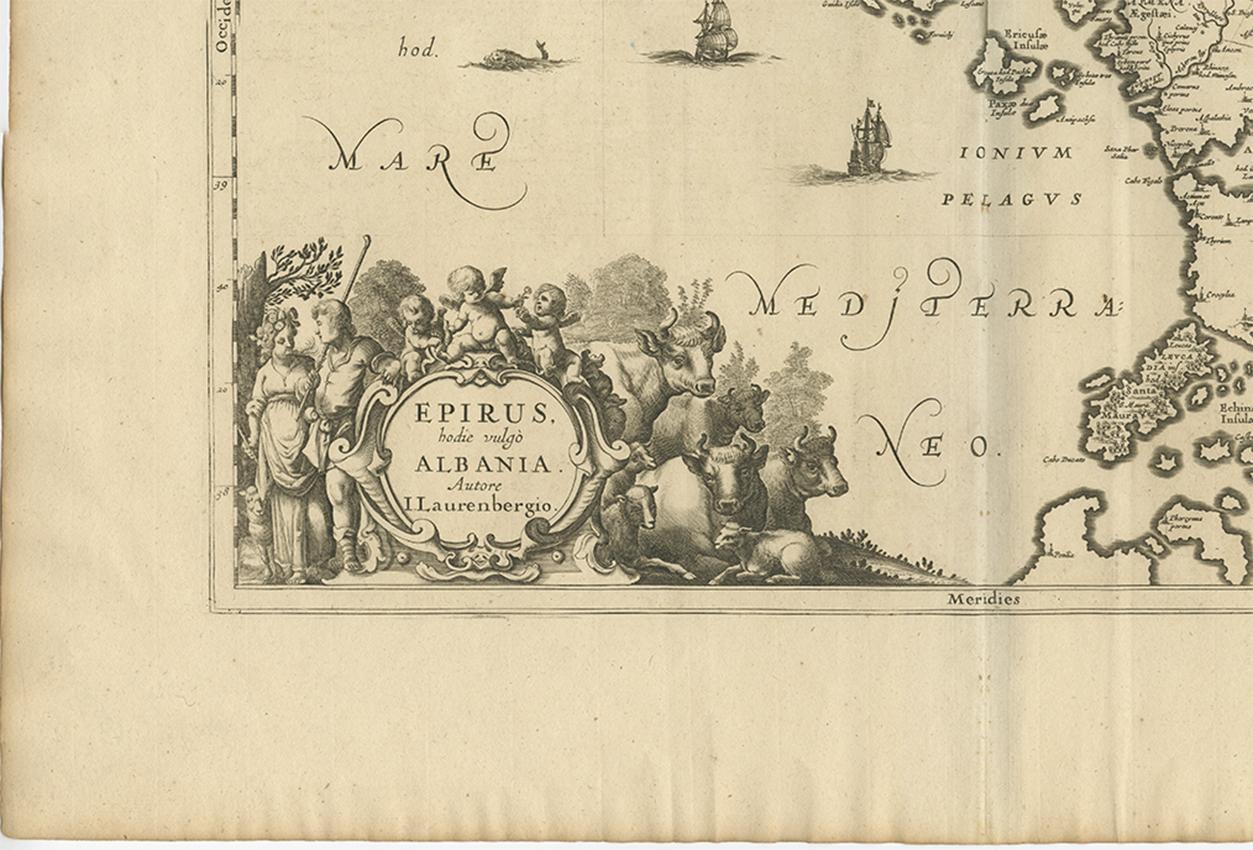
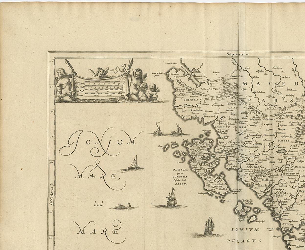
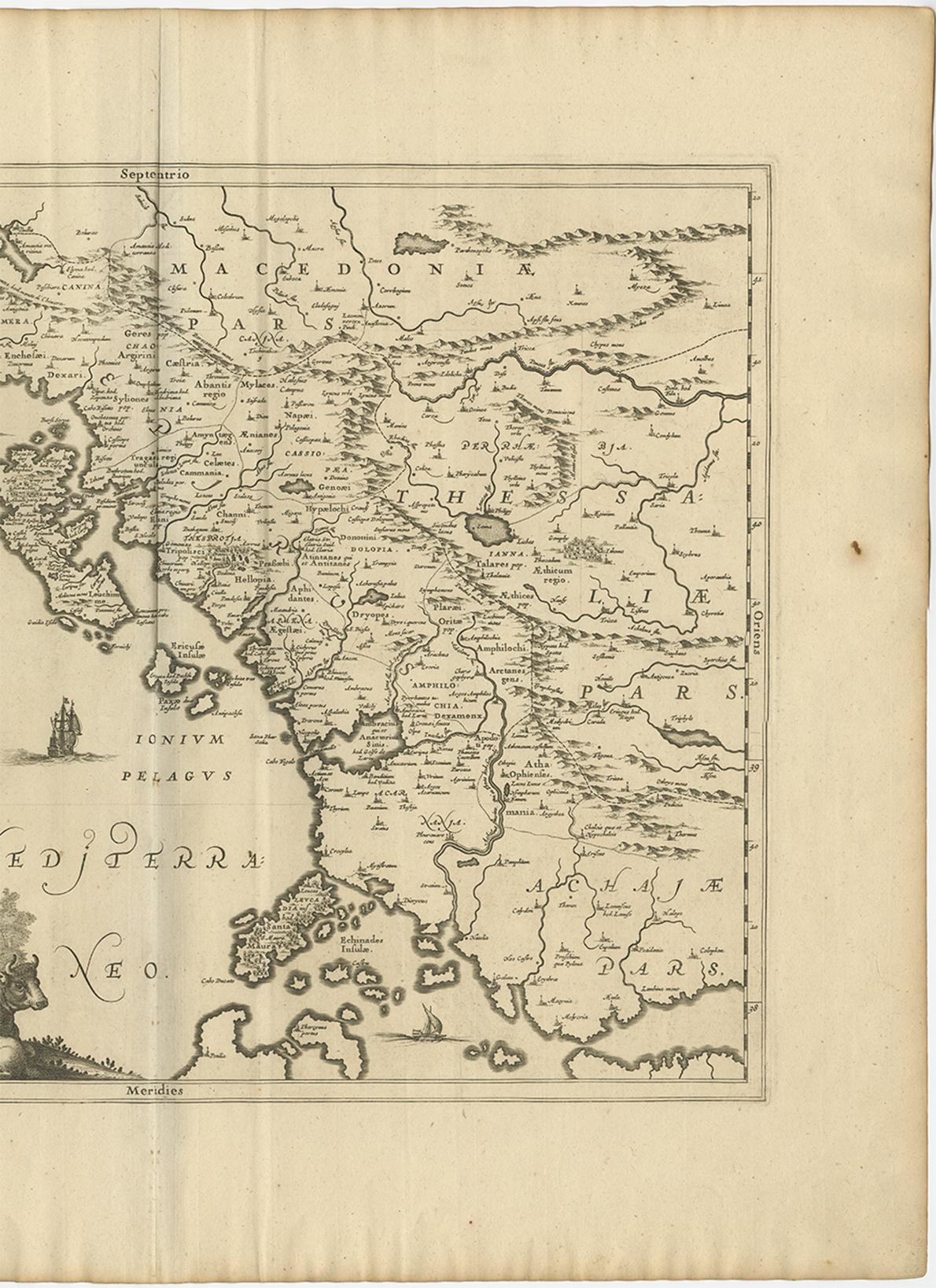
Minor fading. Some minor staining and folding. Please study image carefully.
About this sheet

This map covers the northwestern coast of Greece and part of present-day Albania. The map was drawn by Johannes Wilhelm Laurenberg, a mathematician and historian who produced several atlases of Greece and worked with both Blaeu and Hondius/Jansson. The large title cartouche features a shepherd and shepherdess with their livestock.

More from South-East Europe

Ask about this sheet

Antique Map of Epirus 'Albania, Greece' by J. Janssonius, circa 1650
1650 · Ref. BG-09201 · € 515
We reply by email, usually within one working day.