Maps & PrintsBartele Gallery · Langweer
Home / Antique Maps / Europe / South-East Europe

South-East Europe · 17th century

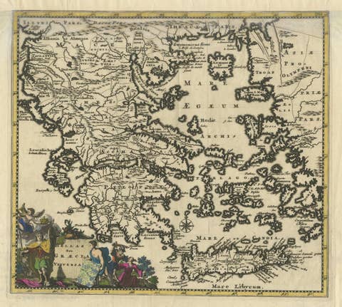
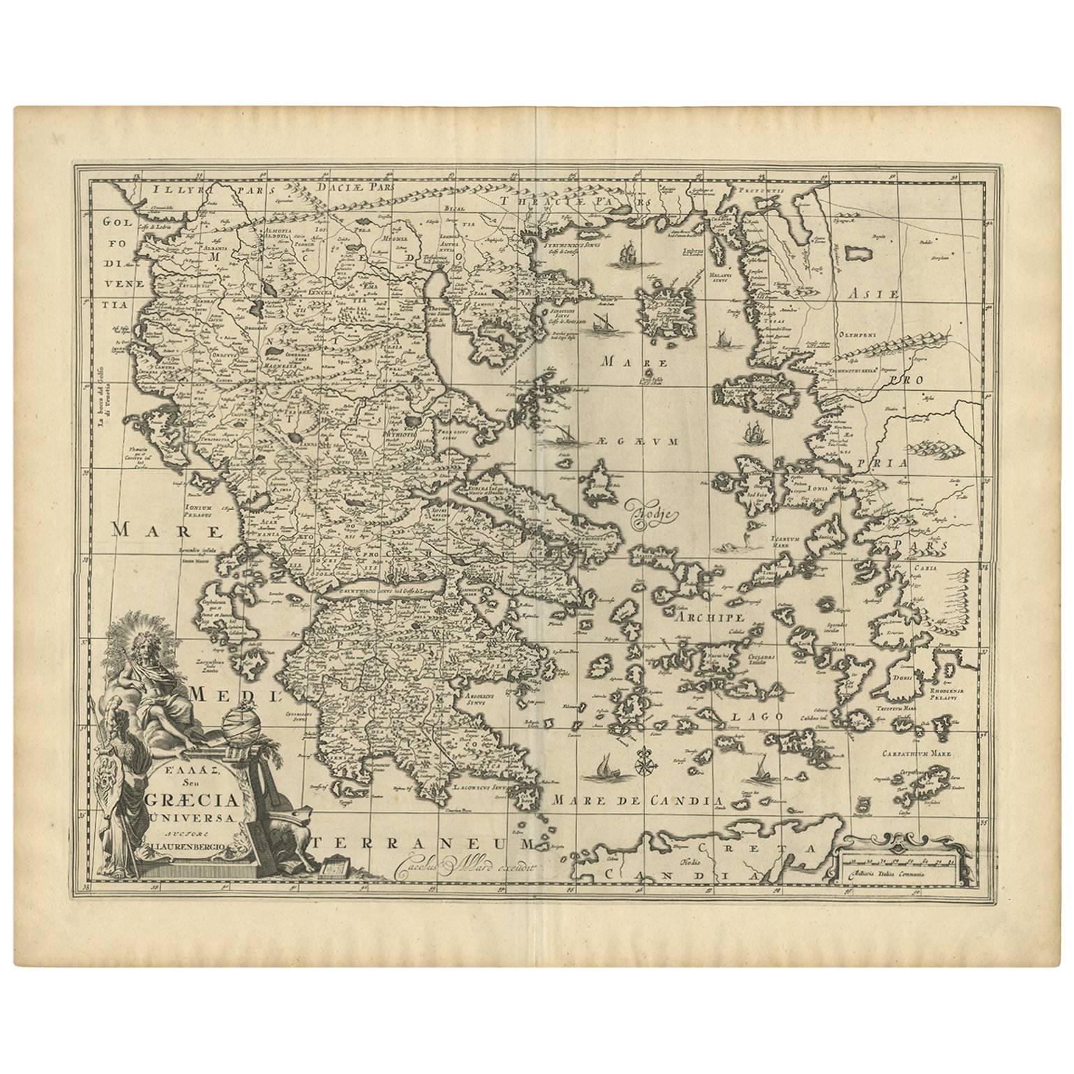
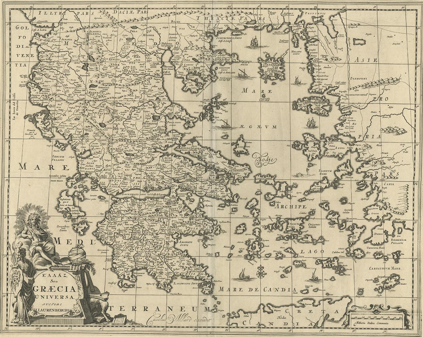
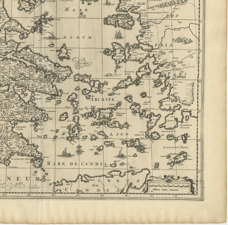
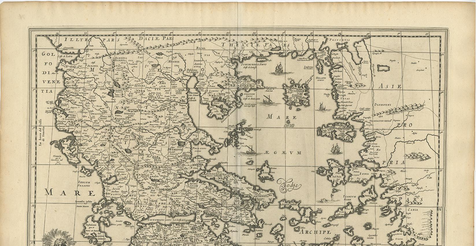
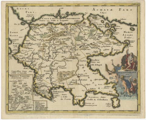
Antique 1698 Map of Greece by Carolus Allard, Late 17th Century

€ 800

One of a kind: this is the sheet in the photographs. Ships from Langweer, the Netherlands.

Date
1698
Sheet size
52.8 × 64.4 cm (20.8 × 25.4 in)
Condition
Good
Reference
BG-09203

Condition

Please study image carefully.
About this sheet

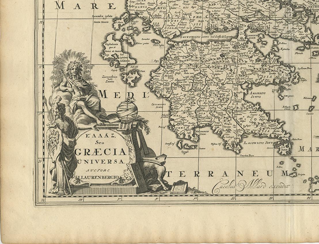
Antique map titled 'Hellas seu Graecia Universa' Detailed map of Greece, with Crete, the Aegean Islands, and part of Turkey. With two cartouches, compass rose and scale. Carolus Allard excudit, circa 1698.

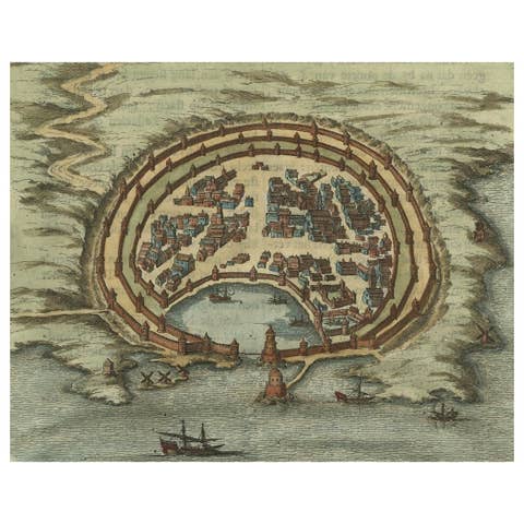
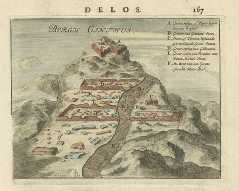
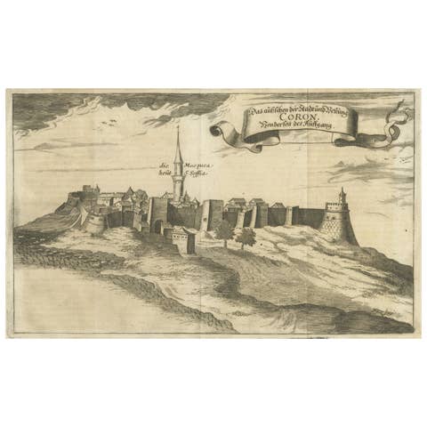
More from South-East Europe

Ask about this sheet

Antique 1698 Map of Greece by Carolus Allard, Late 17th Century
1698 · Ref. BG-09203 · € 800
We reply by email, usually within one working day.