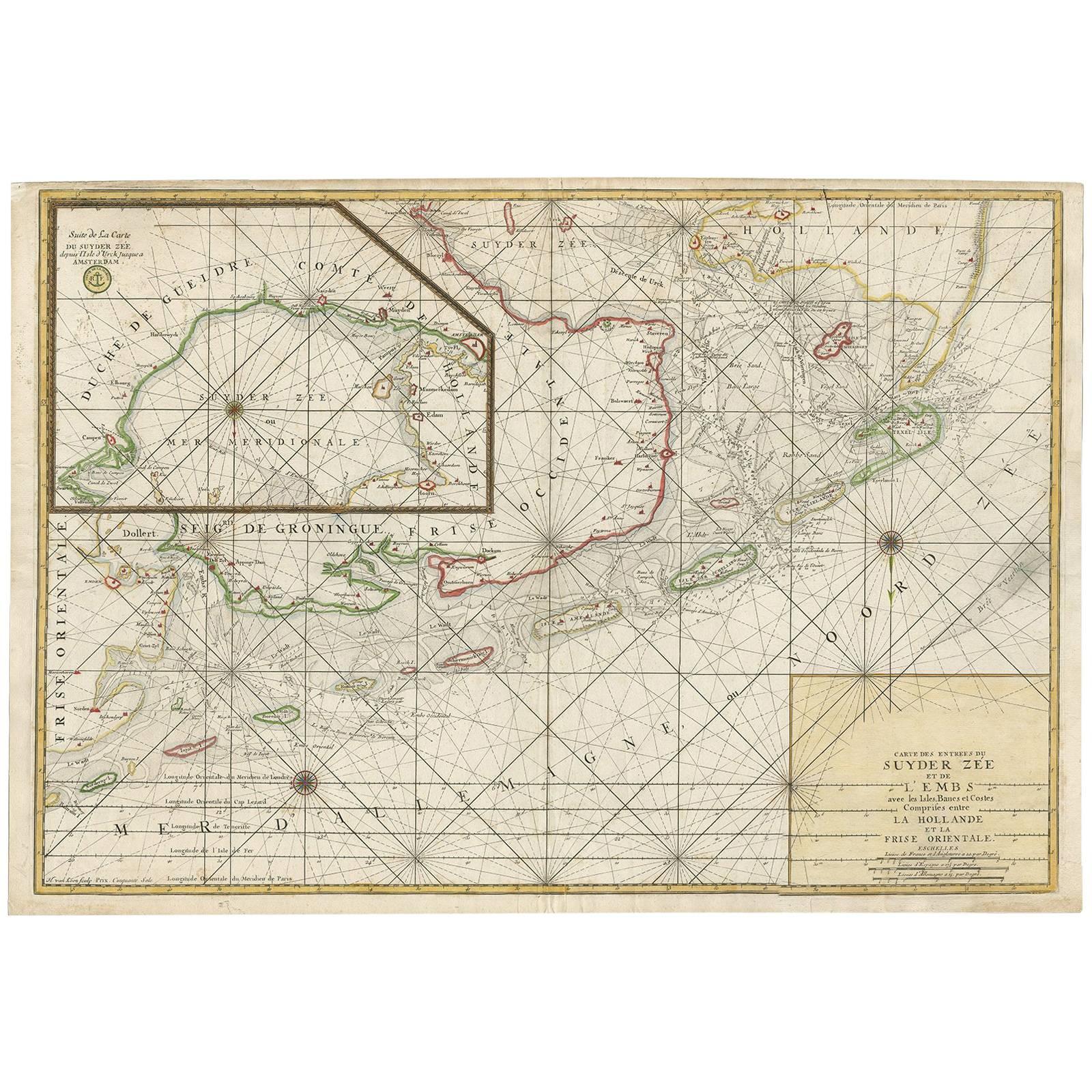
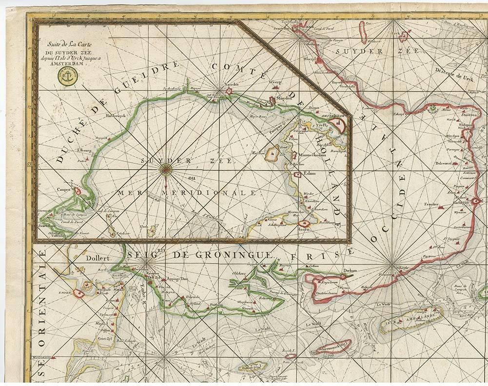
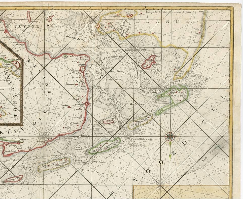
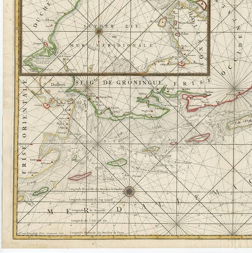
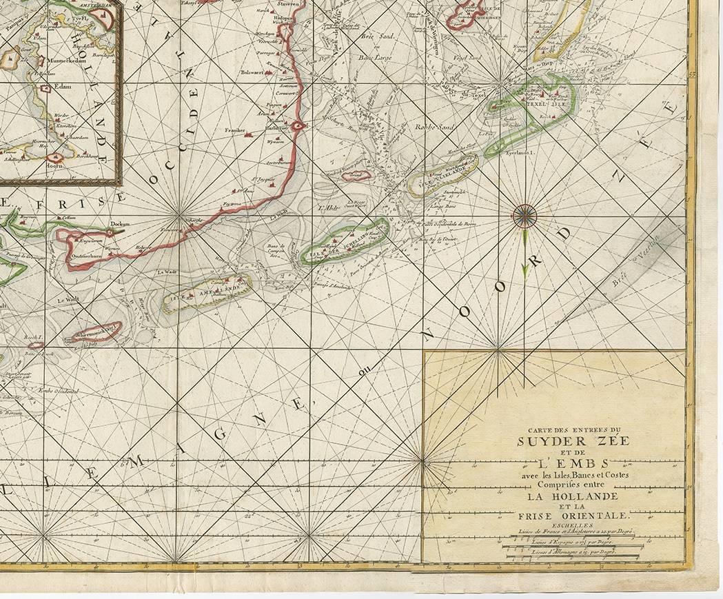
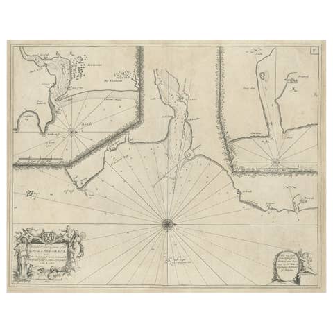
Large Sea Chart of the Zuyder Zee & The Northsea with the Wadden Islands, 1773
€ 1 750
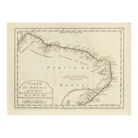
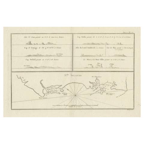
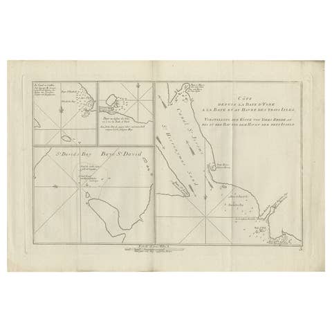
One of a kind: this is the sheet in the photographs. Ships from Langweer, the Netherlands.
Date
1773
Mapmaker / artist
H. van Loon (Artist)
Technique
Engraved
Sheet size
64 × 93 cm (25.2 × 36.6 in)
Condition
Good
Reference
BG-00349
Condition
Good condition with general age related toning. Please study images carefully or ask for a video and more pictures.
About this sheet
The copper engraving by Herman van Loon, published by Pieter Mortier in 'Le Neptune François' in Amsterdam, is a remarkable piece within the realm of seventeenth-century cartography. 'Le Neptune François' is esteemed as the finest and most sophisticated sea atlas to be published in Amsterdam during that era.
Mortier's aim with this work was to compete with the popular 'Nieuwe groote lichtende zeefakkel' by Johannes van Keulen. To achieve this, Mortier collaborated with esteemed craftsmen such as Romeyn de Hooghe and Herman van Loon.
The atlas is considered a 'contrefaçon', an identical reproduction, with Mortier adding several maps to the original. The original work was by Jean Colbert, who, along with a group of mathematicians and astronomers from the Académie Royale des Sciences, compiled a sublime atlas of 29 sheets. The publication was overseen by the royal geographer Alexis-Hubert Jaillot in Paris.
Pieter Mortier obtained the privilege in 1690 to distribute maps and atlases from French publishers in Holland, a significant development in his career as a cartographer and publisher. This collaboration and privilege underscore Mortier's ambition to produce high-quality cartography and compete with other prominent publishers of the time.
'Le Neptune François' stands as a testament to Mortier's commitment to excellence and innovation in cartography. The inclusion of additional maps, coupled with the expertise of renowned cartographers and engravers, solidifies its reputation as a pinnacle of seventeenth-century mapmaking.
In summary, this piece provides insight into the competitive and complex world of seventeenth-century cartography and publishing, highlighting the role of individuals like Pieter Mortier in advancing this art and science.