Maps & PrintsBartele Gallery · Langweer
Home / Antique Maps / Europe / Northern Europe

Northern Europe · 18th century

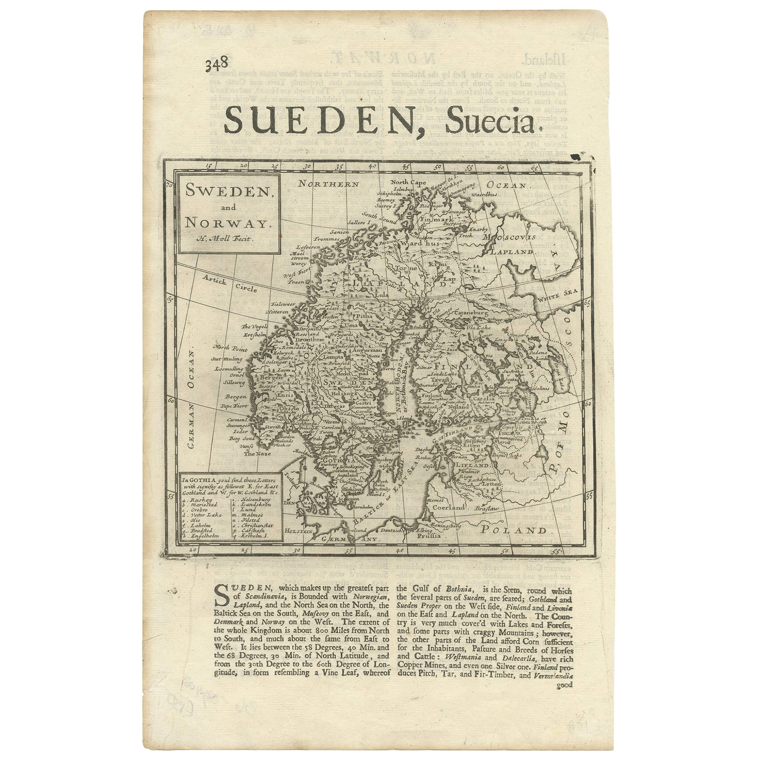
Antique Map of Sweden and Norway by H. Moll, circa 1715

€ 370

One of a kind: this is the sheet in the photographs. Ships from Langweer, the Netherlands.

Date
1715
Technique
Engraved
Sheet size
31.8 × 20.5 cm (12.5 × 8.1 in)
Condition
Good
Reference
BG-09408

Condition

Some small marginal tears. Please study image carefully.
About this sheet

Beautiful and rare map of Sweden and Norway including English text. This map most likely originates from 'The Compleat geographer, or, The chorography and topography of all the known parts of the earth to which is premis'd an introduction to geography, and a natural history of the earth and the elements ... to which are added maps of every country, fairly engraven on copper, according to the latest surveys, and newest discoveries, most engrav'd by Herman Moll'.

Text on verso.

More from Northern Europe

Ask about this sheet

Antique Map of Sweden and Norway by H. Moll, circa 1715
1715 · Ref. BG-09408 · € 370
We reply by email, usually within one working day.