Maps & PrintsBartele Gallery · Langweer
Home / Antique Maps / Europe / Europe as a Whole

Europe as a Whole · 17th century

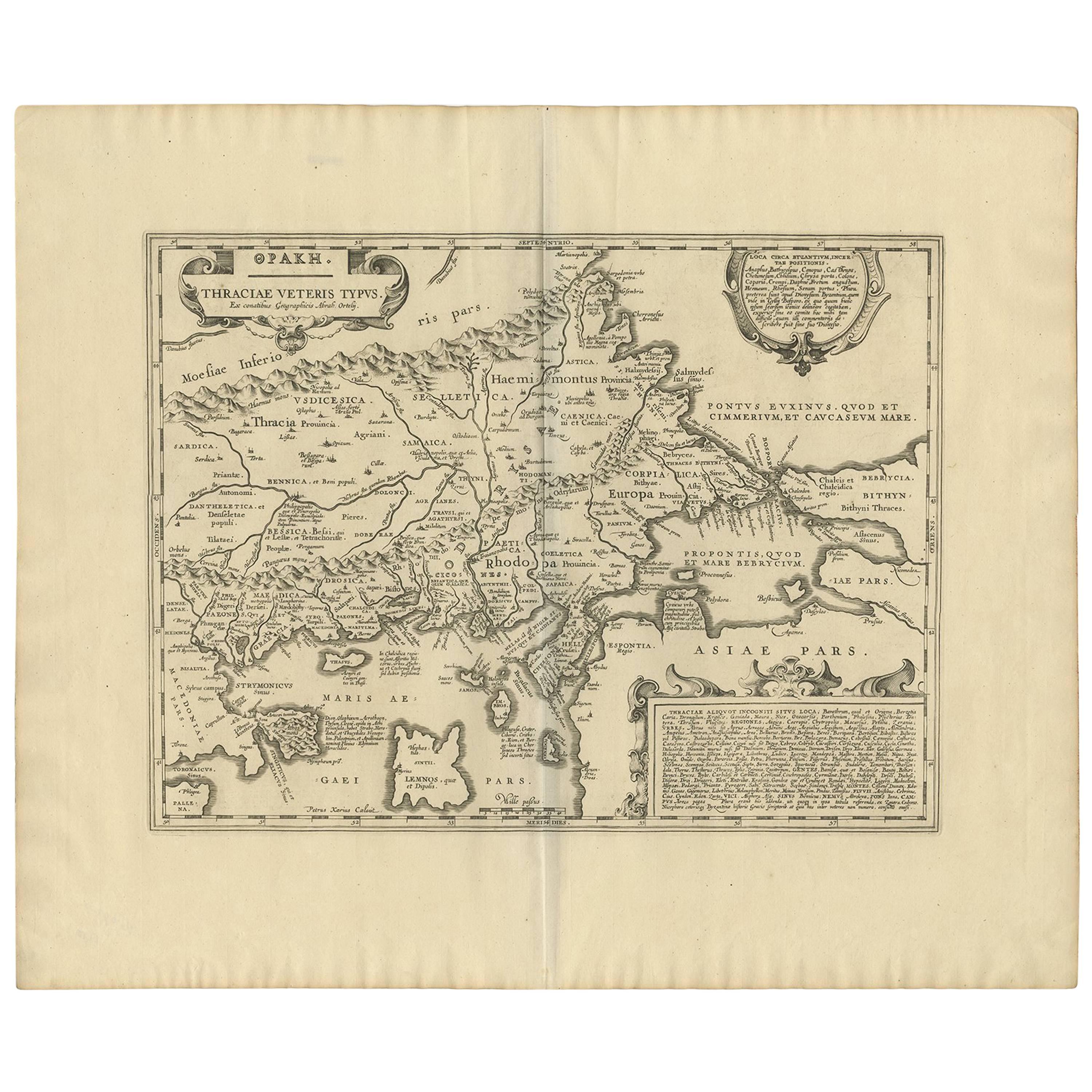
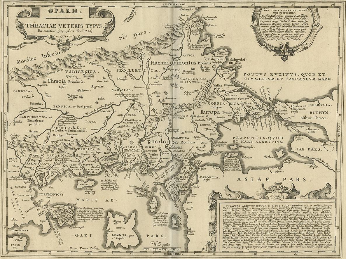
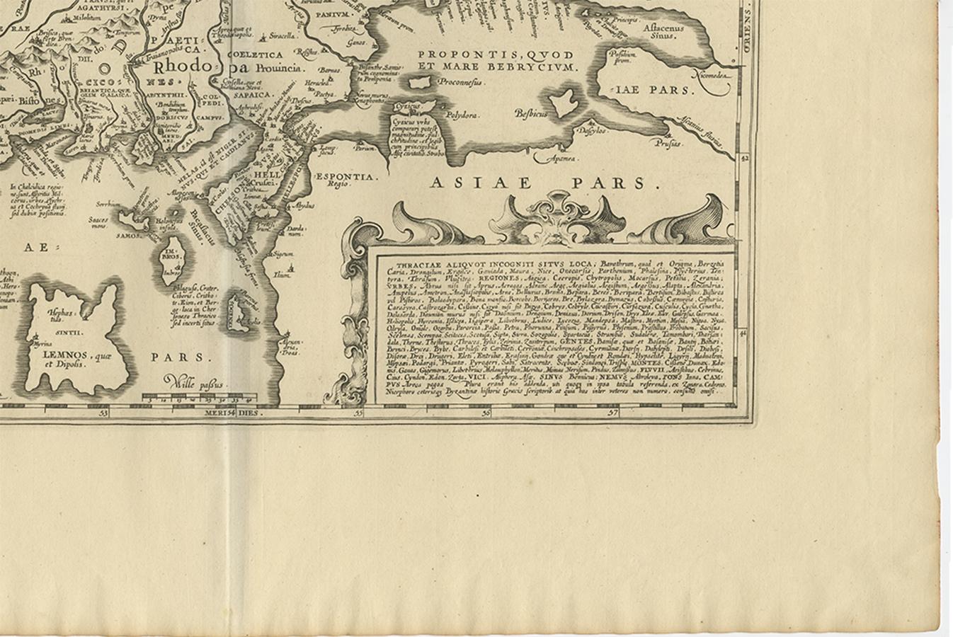
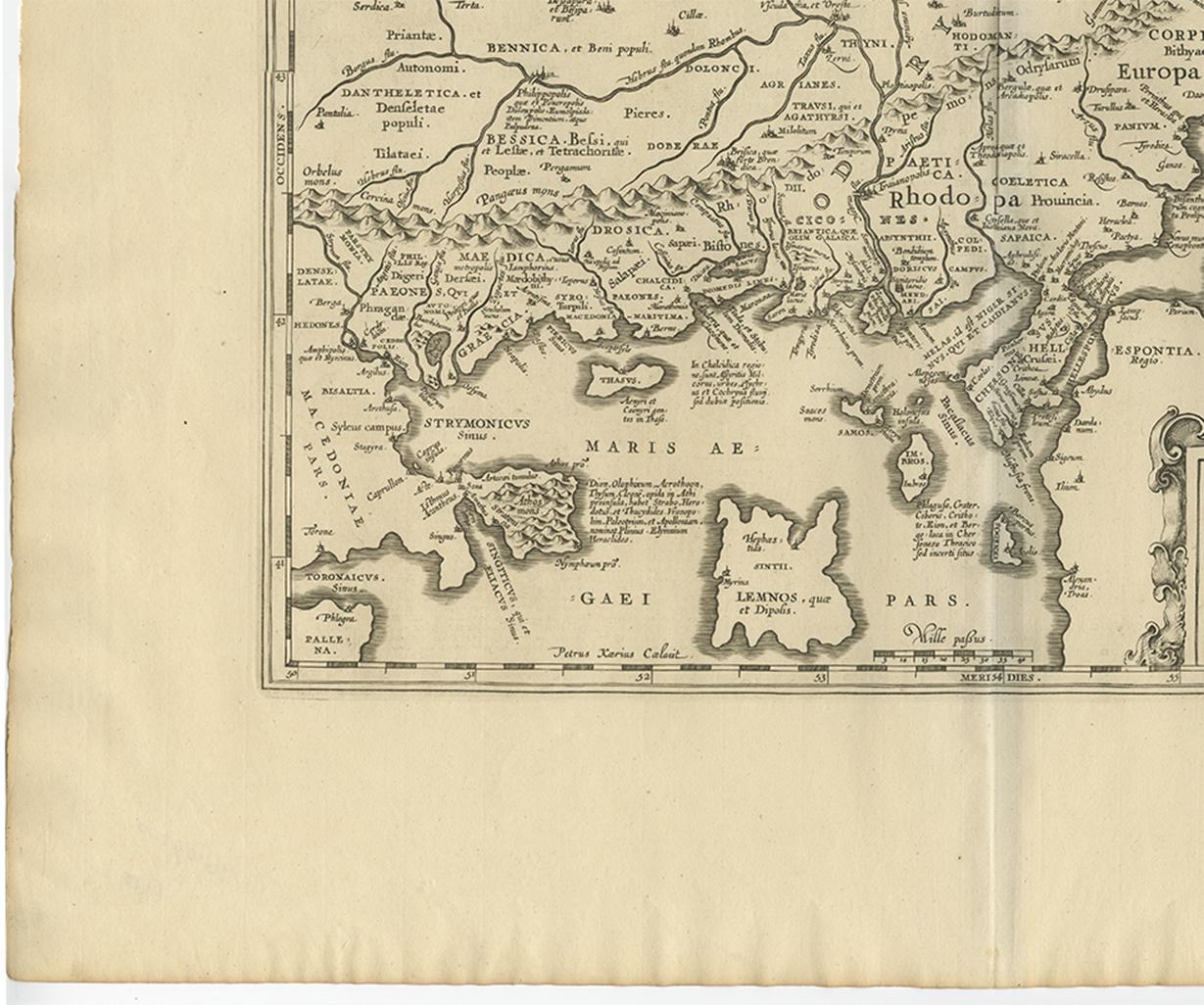
Antique Map of Thracia ‘Greece’ by J. Janssonius, circa 1650

€ 850

One of a kind: this is the sheet in the photographs. Ships from Langweer, the Netherlands.

Date
1650
Sheet size
52.7 × 64 cm (20.7 × 25.2 in)
Condition
Good
Reference
BG-09200

Condition

Minor fading. Please study image carefully.
About this sheet

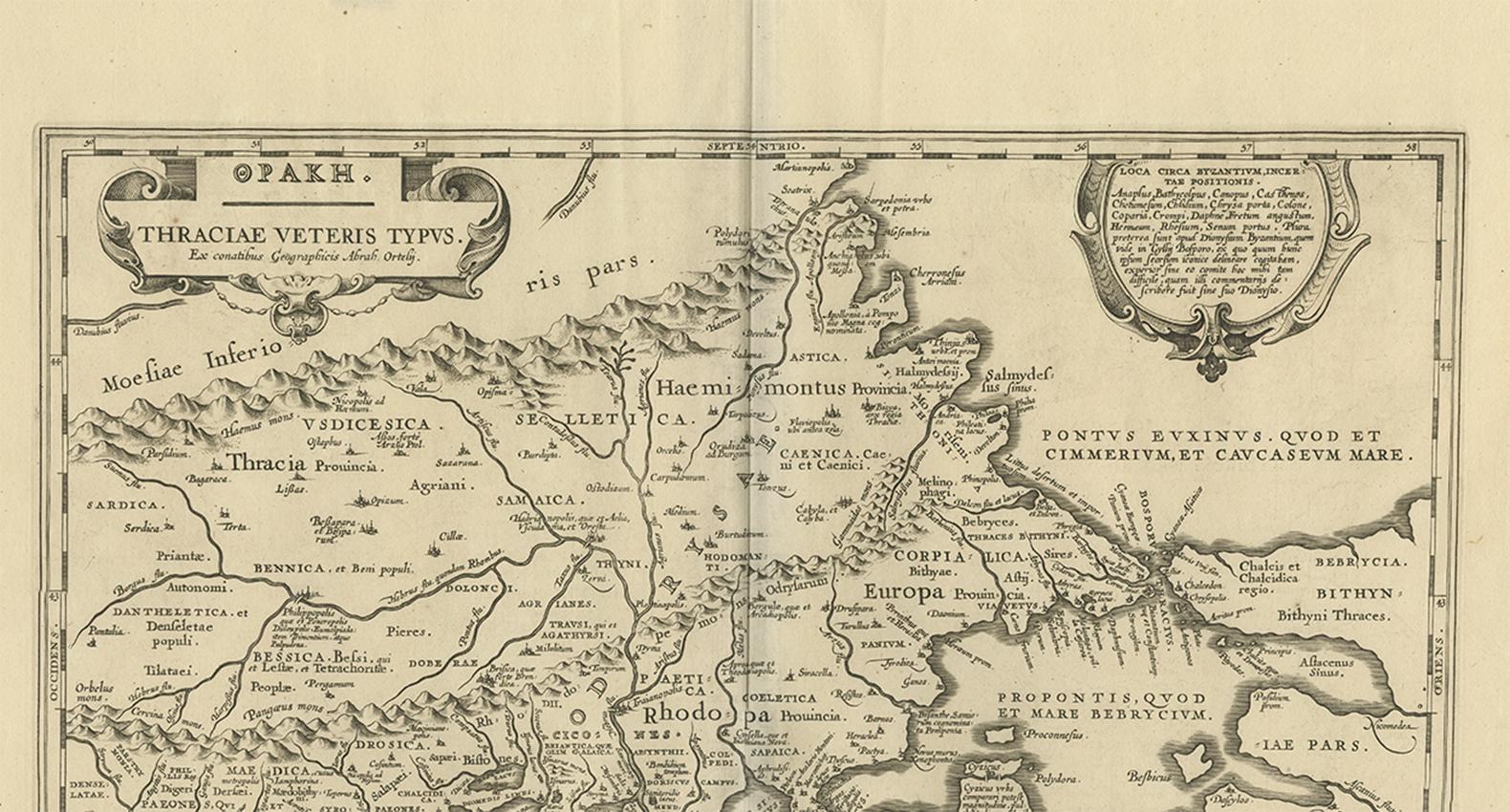
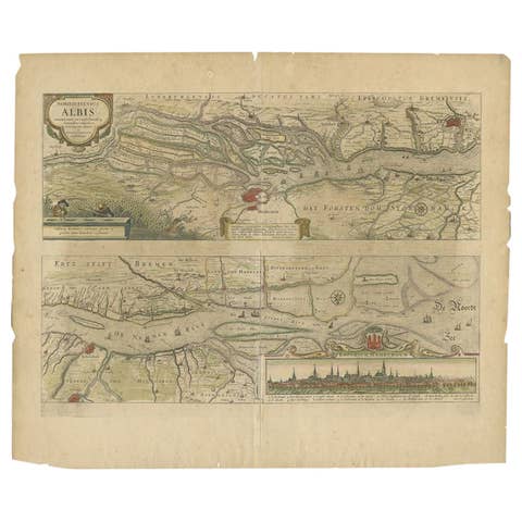
This antique map of Thracia is engraved and published by J. Janssonius after the cartographical sources by Abraham Ortelius. Ornated in the upper left corner with a title cartouche and dedication to Ortelius. Further on we find two extensive text cartouches with listings of place names. In the upper right corner the cartouche 'Loca Circa Byzantium' with a listing of place names belonging to Byzant and in the lower right corner a large text cartouche 'Thraciae Aliquot Incogniti Situs Loca' with a listing of place names belonging to Thraciae. Fine and early historical map on Thracia. The area on this map covers mainly Thracia in Northern Greece and parts of Romania. The map is ornated with three cartouches, in the upper left corner the title cartouche, on the lower and upper right side extensive listings of place name in two cartouches. Villages and towns are shown as miniature views.

More from Europe as a Whole

Ask about this sheet

Antique Map of Thracia ‘Greece’ by J. Janssonius, circa 1650
1650 · Ref. BG-09200 · € 850
We reply by email, usually within one working day.