Map of South America 1792 by Elwe – Hand-Colored Antique Dutch Engraving
€ 1 700
One of a kind: this is the sheet in the photographs. Ships from Langweer, the Netherlands.
Date
1792
Mapmaker / artist
J.B. Elwe (Artist)
Technique
Engraved
Sheet size
54.5 × 65 cm (21.5 × 25.6 in)
Condition
Good
Reference
BG-02119
Condition
Very good condition with strong color and clear plate lines. Minor age toning and browning to the margins, no tears or repairs. A clean, well-preserved example of late 18th-century Dutch cartography. Small tear at bottom of the middle-fold.
About this sheet
Map of South America 1792 by Elwe – Hand-Colored Antique Dutch Engraving
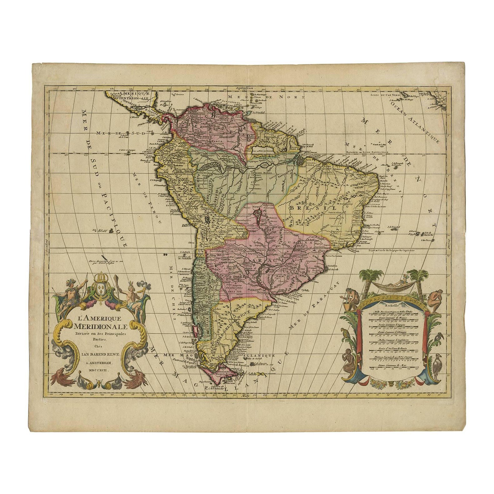
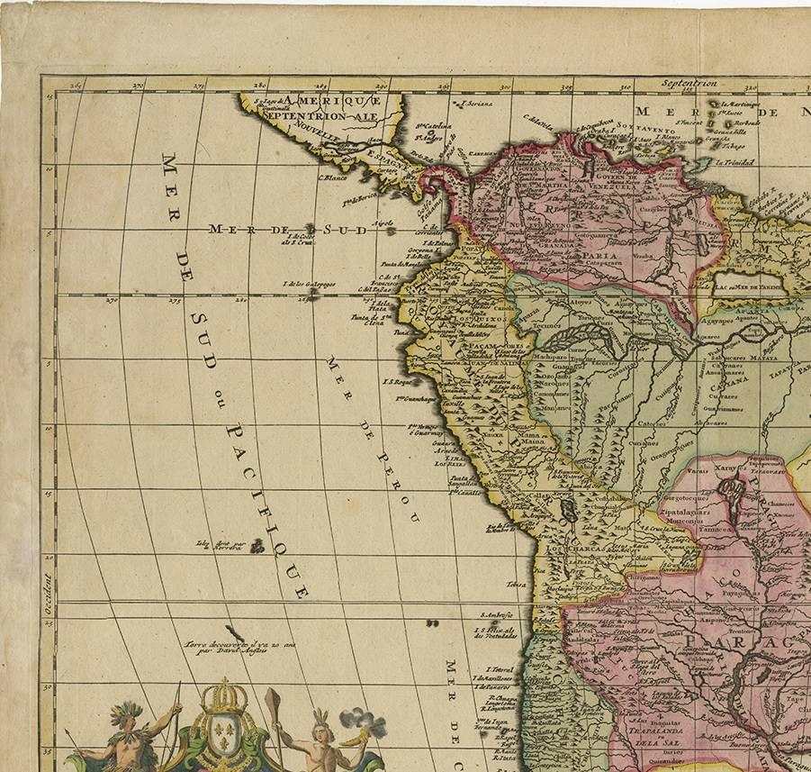
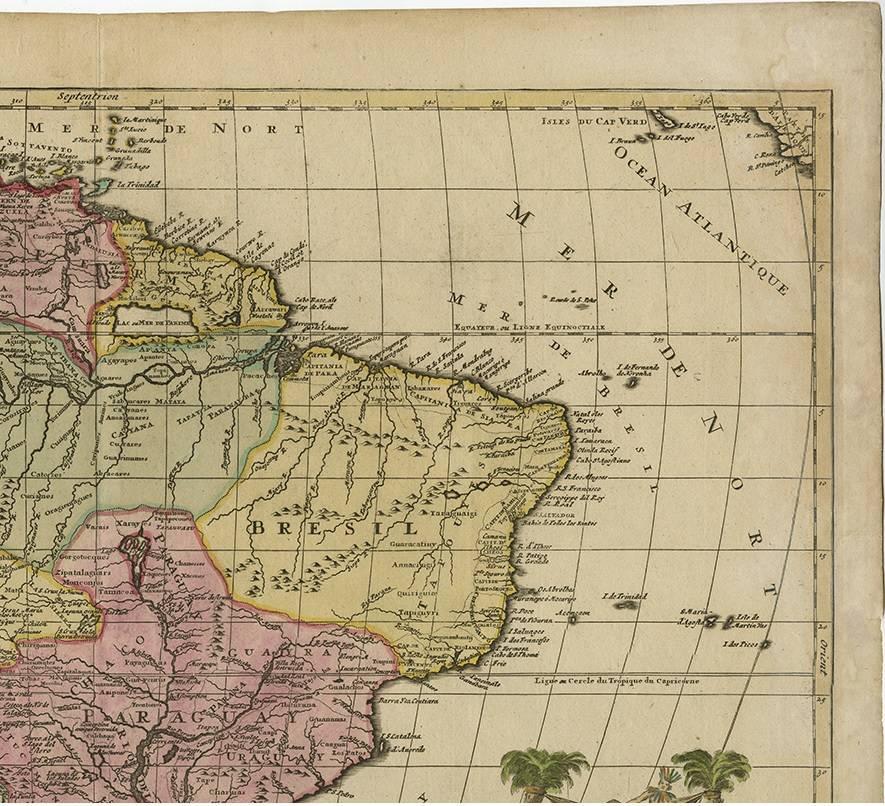
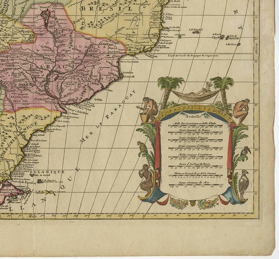
This striking antique map of South America, titled "L'Amerique Meridionale," was published in 1792 by the Dutch cartographer Jan Barend Elwe in Amsterdam. It is a beautifully hand-colored copperplate engraving that exemplifies the high standard of Dutch mapmaking in the late 18th century. The map displays the continent divided into its principal regions and colonial territories of the time, including Brazil, Peru, Paraguay, Chile, Argentina, and Colombia. The geographical renderings are based on earlier French cartographic sources, particularly the work of Guillaume Delisle, yet Elwe's version is distinctive for its refined presentation and updated political boundaries.
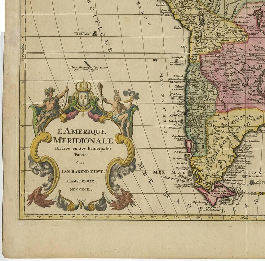
Notably, the map includes two elaborate cartouches: one with the title, featuring a crowned globe and maritime motifs, and the other with a dedication and legend, adorned with palm trees, exotic animals, and tropical fruits—reflecting European fascination with the New World. The fine hand-coloring enhances the visual impact and helps distinguish the various colonial powers’ territories. The prime meridian used here is based on Paris, common among French-influenced maps of the time.
Jan Barend Elwe (active 1785–1795) was known for reissuing maps from prominent 17th- and 18th-century atlases, updating them for a new generation of map collectors and scholars. His 1792 edition of this map stands as one of the most decorative and desirable renditions of South America before the independence movements of the 19th century redrew the continent’s political borders.
This map is not only a geographical document but also a decorative and historical artifact, revealing how Europeans viewed and represented South America in the Age of Enlightenment.
Condition summary: Very good condition with strong color and clear plate lines. Minor age toning and browning to the margins, no tears or repairs. A clean, well-preserved example of late 18th-century Dutch cartography.
Framing tip: Frame with a neutral or olive mat and a gold or walnut wooden frame to complement the warm tones. UV-protective glass is recommended to preserve the hand-coloring and prevent further fading.